The best walks and hikes in Mount Crosby Weir Nature Refuge
4.4
(11)
173
hikers
15
hikes
Hiking in Mount Crosby Weir Nature Refuge offers a network of trails through varied terrain in Queensland. The area is characterized by dense woodlands, rolling hills, and proximity to the Brisbane River, providing a mix of natural environments for exploration. Hikers can expect paths that wind through forested areas, with some routes offering views of the surrounding landscape. The refuge provides a natural setting for outdoor activities, with elevation changes typical of a riverine and forested environment.
Best hiking trails in Mount Crosby Weir Nature Refuge
- The most popular hiking route is Hiking loop from sawmill, a 7.2 miles (11.6 km) trail that takes 3 hours 36 minutes to complete. This moderate route features a steady ascent through forested areas.
- Another top favourite among local hikers is Hiking loop from Camerons Hill, a moderate 5.4 miles (8.7 km) path. This trail offers views over the landscape and passes through natural bushland.
- Local hikers also love the Hiking loop from Brassall, a 2.9 miles (4.7 km) trail leading through woodlands, often completed in about 1 hour 18 minutes.
- Hiking in Mount Crosby Weir Nature Refuge is defined by dense woodlands, river proximity, and rolling hills. The network offers options for different ability levels, from easy walks to moderate trails.
- The routes in Mount Crosby Weir Nature Refuge are highly rated by the komoot community with an average score of 4.4 stars from several reviews. More than 100 hikers have used komoot to explore Mount Crosby Weir Nature Refuge's varied terrain.
Last updated: July 4, 2026
5.0
(1)
16
hikers
11.6km
03:36
390m
390m
Moderate hike. Good fitness required. Easily-accessible paths. Suitable for all skill levels.
2
hikers
4.74km
01:18
70m
70m
Easy hike. Great for any fitness level. Easily-accessible paths. Suitable for all skill levels.

Sign up for free
4.3
(3)
32
hikers
16.8km
04:43
330m
330m
Moderate hike. Good fitness required. Easily-accessible paths. Suitable for all skill levels.
4.5
(2)
31
hikers
Moderate hike. Good fitness required. Easily-accessible paths. Suitable for all skill levels.
5.0
(1)
7
hikers
4.28km
01:10
70m
70m
Easy hike. Great for any fitness level. Easily-accessible paths. Suitable for all skill levels.
Get access to more routes and recommendations from other explorers.
Sign up for free
Already have an account?
Our route recommendations are based on thousands of hikes, rides, and runs completed by other people on komoot.
Start today with a free account
Your next adventure awaits.
Login or Signup

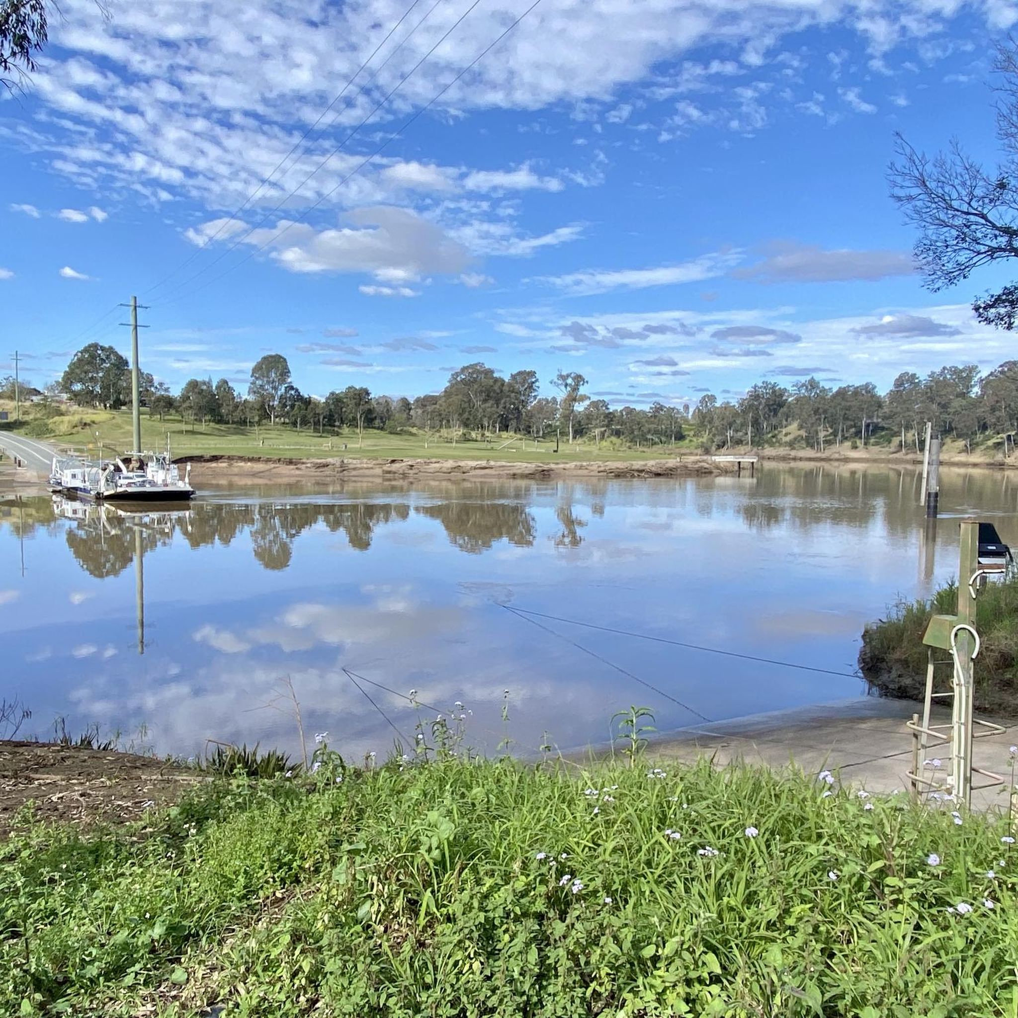

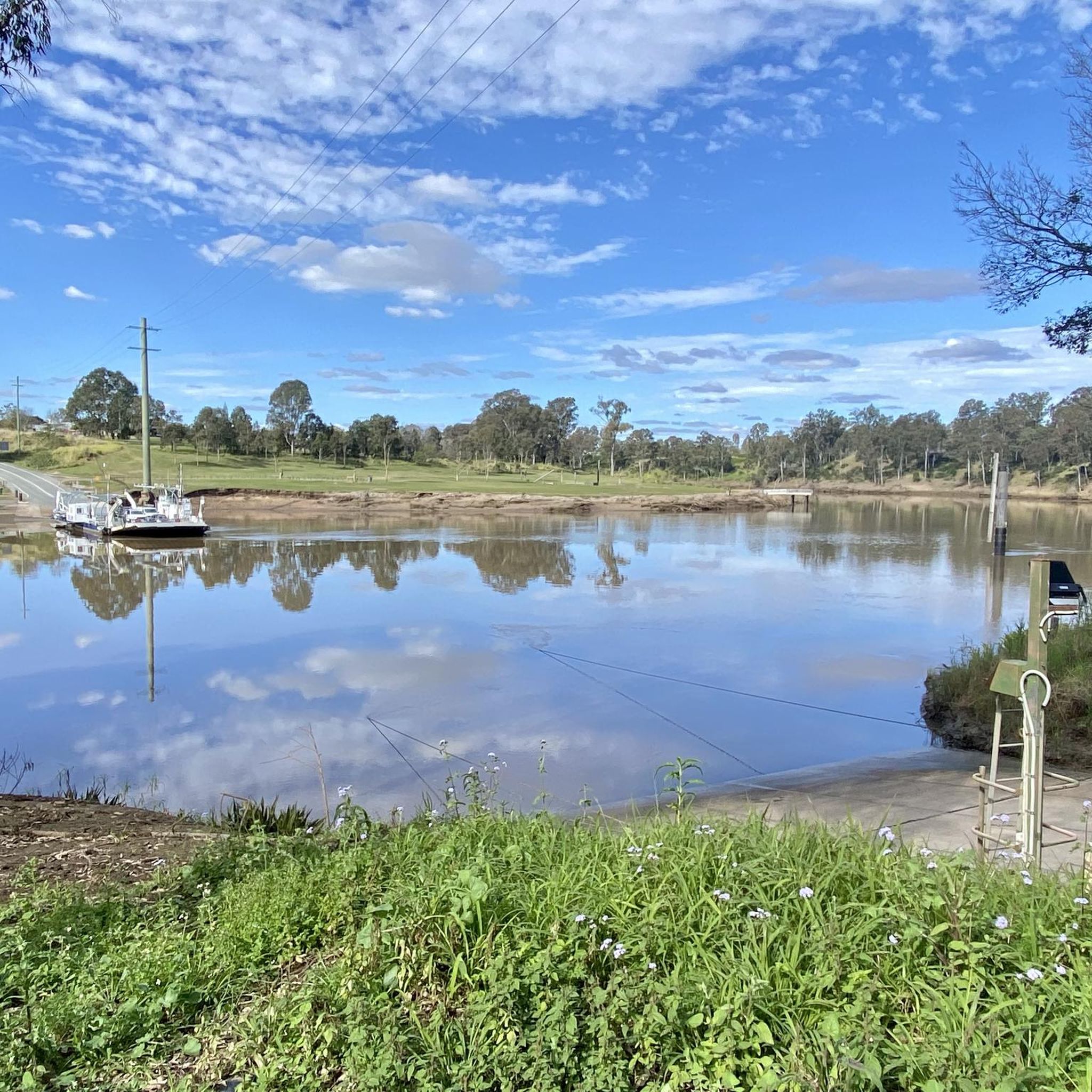

Tips from the Community

The entire end of this peninsula is cleared and mowed, so you can wander along near the lakeshore and see across the water to the southern mountains of D'Aguilar National Park in the distance. You can walk up the hill on the other side of the trail opposite the peninsula for a higher vista.
0
0
Lake Manchester is fed mostly by just two creeks - Branch Creek, which merges with the reservoir along this section of trail, and Cabbage Tree Creek on the southeast side of the watershed. You get a pretty view of the marshy confluence from the trail. Keep an eye out for turtles!
0
0
This is one of the few viewpoints that are mowed, so as you approach the water you come out into a grassy clearing with sweeping views of the water. Head down a short spur trail from the dirt road (main trail) to check out the view.
0
0

Nice site for an overnight stay, provided they've mown! I was there about 2 weeks ago and it was overgrown, I'd hate to try to pitch a tent in that long grass. Well worth walking up to the northwest of the site where it overlooks the creek
1
0
There aren't too many places on the circuit where you're close to the water - incredible views from the few
0
0
Go clockwise around the Lake Manchester Circuit and this section is a long slow incline along a high ridge
0
0

this viewpoint is The Little Mermaid viewpoint with expansive views. Make sure you do the little loop, not to miss it.
0
0
Frequently Asked Questions
How many hiking trails are available in Mount Crosby Weir Nature Refuge?
Mount Crosby Weir Nature Refuge offers a network of over 10 hiking trails. These routes vary in length and difficulty, providing options for different preferences and fitness levels.
Are there any easy or family-friendly hiking options in Mount Crosby Weir Nature Refuge?
Yes, the refuge has several easy trails suitable for families or those seeking a more relaxed walk. For example, the Hiking loop from Brassall is an easy 2.9-mile (4.7 km) trail through woodlands, typically completed in about 1 hour 18 minutes. Another easy option is the View of Lake Manchester loop from Lake Manchester, which is 4.2 miles (6.8 km) long.
What is the best time of year to go hiking in Mount Crosby Weir Nature Refuge?
The best time to hike in Mount Crosby Weir Nature Refuge is generally during the cooler, drier months from April to October. Summers in Queensland can be hot and humid, making hiking less comfortable, while the cooler months offer more pleasant temperatures for outdoor activities.
Are dogs allowed on the trails in Mount Crosby Weir Nature Refuge?
As a nature refuge, Mount Crosby Weir typically has restrictions on pets to protect local wildlife and natural habitats. It is generally recommended to leave dogs at home when visiting nature refuges, or to check specific signage at the entrance for current regulations regarding pets on trails.
What kind of wildlife can I expect to see while hiking?
Mount Crosby Weir Nature Refuge is home to diverse flora and fauna. Hikers often spot various bird species, wallabies, and other native wildlife within the dense woodlands and along the riverine areas. Keeping a quiet pace and observing from a distance increases your chances of a sighting.
Are there any circular hiking routes available?
Yes, many of the trails in Mount Crosby Weir Nature Refuge are designed as loops, offering varied scenery without retracing your steps. Popular circular routes include the Hiking loop from sawmill, a moderate 7.2-mile (11.6 km) trail, and the Hiking loop from Camerons Hill, a 5.4-mile (8.7 km) moderate path with landscape views.
What should I wear and bring for a hike in Mount Crosby Weir Nature Refuge?
For hiking in the refuge, it's advisable to wear comfortable, sturdy walking shoes, and clothing appropriate for the weather. Sun protection, including a hat and sunscreen, is essential, especially during sunnier periods. Always carry sufficient water, snacks, and a basic first-aid kit. Insect repellent can also be useful.
Is there parking available at the trailheads?
While specific parking details for every trailhead are not always listed, Mount Crosby Weir Nature Refuge generally provides designated parking areas near popular access points. It's recommended to check local signage upon arrival for the most accurate parking information and any potential fees or restrictions.
What do other hikers enjoy most about Mount Crosby Weir Nature Refuge?
The area is highly rated by the komoot community, with an average score of 4.4 stars. Reviewers often praise the quiet woodlands, the varied terrain, and the opportunity to immerse oneself in nature close to urban areas. The well-maintained paths and diverse loop options are also frequently highlighted.
Are there any longer or more challenging hikes for experienced hikers?
For experienced hikers looking for a longer challenge, the Lake Manchester Ridge Walk – Blue Gum Flats Campground loop from Lake Manchester is a moderate 10.4-mile (16.7 km) route. This trail offers a more extended journey through the landscape, with elevation changes typical of the region.
Can I reach Mount Crosby Weir Nature Refuge using public transport?
Public transport options directly to the trailheads within Mount Crosby Weir Nature Refuge may be limited. It is generally more convenient to access the refuge by car. If relying on public transport, you may need to combine bus services with a taxi or a longer walk from the nearest stop.
Most popular routes in Mount Crosby Weir Nature Refuge

Get inspired with the komoot mobile app


Explore more
Browse the best Hikes in other regions.
