The best walks and hikes in Marstaeller Road Reserve
4.4
(8)
119
hikers
10
hikes
Hiking in Marstaeller Road Reserve offers a network of trails through natural landscapes in Queensland. The area features varied terrain, including sections with moderate elevation changes and forested paths. These routes provide opportunities to explore the local environment.
Best hiking trails in Marstaeller Road Reserve
- The most popular hiking route is Hiking loop from sawmill, a 7.2 miles (11.6 km) trail that takes 3 hours 36 minutes to complete. This moderate route includes a significant elevation gain.
- Another top…
Last updated: November 17, 2026
5.0
(1)
17
hikers
13.0km
04:06
460m
460m
Moderate hike. Good fitness required. Easily walkable paths.
3.0
(1)
11
hikers
8.62km
02:44
330m
330m
Moderate hike. Good fitness required. Easily walkable paths.

4.0
(1)
24
hikers
7.62km
02:15
220m
220m
Moderate hike. Good fitness required. Easily walkable paths.
7
hikers
6.64km
01:54
160m
160m
Easy hike. Easily walkable paths.
4.3
(3)
30
hikers
16.8km
04:43
330m
330m
Moderate hike. Good fitness required. Easily walkable paths.
Get access to more routes and recommendations from other explorers.
Already have an account?
Our route recommendations are based on thousands of hikes, rides, and runs completed by other people on komoot.
Start today with a free account
Your next adventure awaits.
Popular around Marstaeller Road Reserve
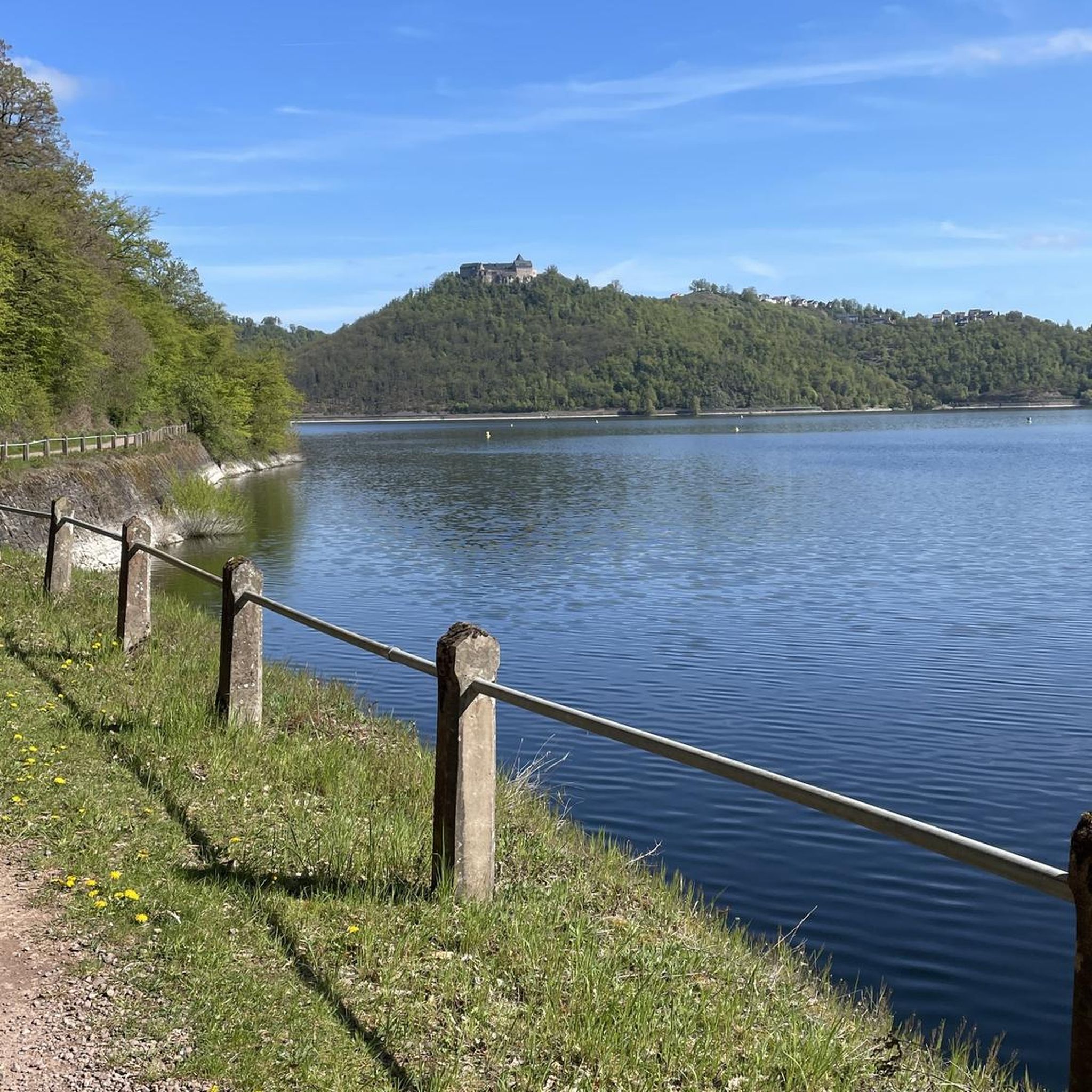
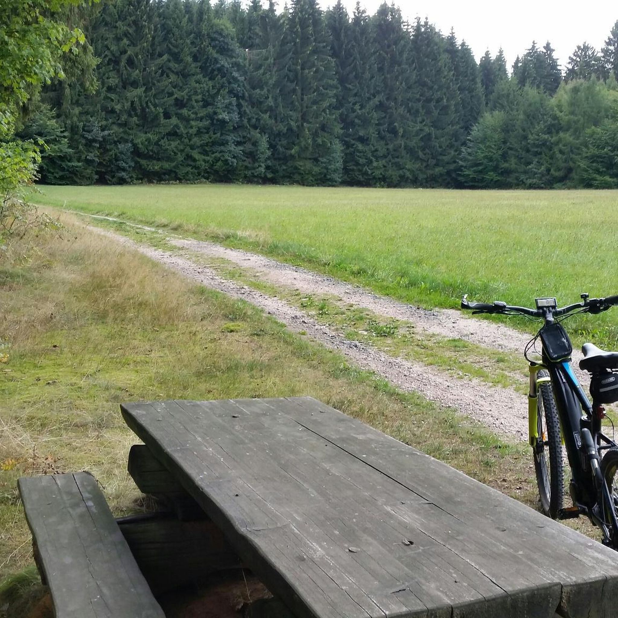

Tips from the Community

This is a very steep section of rough, loose gravel leading towards Mermaid Mountain. It is a much more challenging route than the track to the west. Weather climbing or descending, watch your footing here and take it slow.
0
0
Mermaid Mountain is the high point of the southern D'Aguilar Range, and the summit here is a pretty steep climb with some moderate scrambling near the summit. From the top, the view opens westerly across Lake Manchester and south toward Ipswich, with Mount Barney and Mount Glorious visible on the horizon.
0
0

The entire end of this peninsula is cleared and mowed, so you can wander along near the lakeshore and see across the water to the southern mountains of D'Aguilar National Park in the distance. You can walk up the hill on the other side of the trail opposite the peninsula for a higher vista.
0
0
Lake Manchester is fed mostly by just two creeks - Branch Creek, which merges with the reservoir along this section of trail, and Cabbage Tree Creek on the southeast side of the watershed. You get a pretty view of the marshy confluence from the trail. Keep an eye out for turtles!
0
0
This is one of the few viewpoints that are mowed, so as you approach the water you come out into a grassy clearing with sweeping views of the water. Head down a short spur trail from the dirt road (main trail) to check out the view.
0
0

Devils Break is a wide, multi-use doubletrack, climbing through thick eucalyptus forests. After heavy rain the track can become a bit washed out with some loose stones, but it's easy to follow even with a lack of signage. If tackling the track from south to north, there is a steep climb in the beginning, but take the track the opposite way, and there will be a steep descent.
0
0
Moggill Conservation Park stretches 491 hectares across eucalyptus woodlands and is open to bushwalking, mountain biking, and horseback riding. There is a good chance of seeing bees in the park, as commercial beekeeping has been allowed here since 1941. Bees love the spotted gum, grey ironbark, and protected wildflowers like the yellow parrot pea and grass trees that thrive here.
0
0
A wooden bench, supported by rocks, sits in a break in the eucalyptus forests created by a powerline clearing. The view is expansive, overlooking the urban Brisbane basin and extending toward the rolling hills in the distance. There are power lines obstructing the view a bit, but nothing takes away from the beauty too much.
0
0
Frequently Asked Questions
What is the general difficulty level of hiking trails in Marstaeller Road Reserve?
Marstaeller Road Reserve offers a range of hiking difficulties. There are 4 easy routes suitable for beginners or casual walks, and 8 moderate routes that include more significant elevation changes and varied terrain. There are no difficult routes listed, making it accessible for most hikers.
What are the typical lengths of hikes in Marstaeller Road Reserve?
The hiking trails in Marstaeller Road Reserve vary in length. You can find shorter routes like the Hiking loop from Brassall, which is about 4.7 km (2.9 miles), or longer options such as the Hiking loop from sawmill, covering approximately 11.6 km (7.2 miles).
Are there any circular hiking routes in Marstaeller Road Reserve?
Yes, many of the trails in Marstaeller Road Reserve are designed as loops, offering convenient circular hikes. Examples include the popular Hiking loop from Camerons Hill and the Moggill Conservation Park loop from Anstead, allowing you to start and finish at the same point.
Is parking available at the trailheads in Marstaeller Road Reserve?
While specific parking details can vary by trailhead, Marstaeller Road Reserve is generally accessible by car, and many starting points for trails have designated parking areas. It's always advisable to check the route details on komoot for the most accurate information regarding parking at your chosen starting point.
Can I reach Marstaeller Road Reserve trails using public transport?
Access to Marstaeller Road Reserve primarily relies on private transport due to its natural setting. Public transport options directly to trailheads may be limited. For specific routes, it's best to check local transport schedules and connections to nearby towns or access points.
Are there family-friendly hiking options in Marstaeller Road Reserve?
Yes, Marstaeller Road Reserve offers several easy routes suitable for families. The Hiking loop from Brassall is a good example of an easier trail with less elevation, making it a pleasant option for families with children.
Are dogs allowed on the hiking trails in Marstaeller Road Reserve?
Marstaeller Road Reserve is part of Queensland's natural areas. Generally, dogs are permitted on leash in most state forests and some conservation parks, but restrictions apply in others, especially those with sensitive wildlife. It's crucial to verify the specific regulations for each trail or section of the reserve before bringing your dog.
What is the best time of year to hike in Marstaeller Road Reserve?
The best time to hike in Marstaeller Road Reserve, located in Queensland, is typically during the cooler, drier months from April to October. During this period, temperatures are more comfortable for hiking, and there's less chance of heavy rainfall. Summer months can be hot and humid.
What are the winter hiking conditions like in Marstaeller Road Reserve?
Winter in Marstaeller Road Reserve (June to August) generally offers pleasant hiking conditions. Temperatures are mild, and rainfall is lower compared to summer. Trails are usually dry and well-maintained, making it an ideal time to explore the reserve without the intense heat or humidity.
What should I wear for hiking in Marstaeller Road Reserve?
Given Queensland's climate, lightweight, breathable clothing is recommended. Even in cooler months, layers are useful. Sturdy hiking shoes are essential for varied terrain, and always bring a hat, sunscreen, and plenty of water, especially during warmer periods.
What do other hikers enjoy the most about hiking in Marstaeller Road Reserve?
The area is highly rated by the komoot community, with an average score of 4.4 stars. Reviewers often praise the natural bushland, varied elevations, and well-maintained paths that offer a good balance of challenge and scenic beauty. The network provides options for different ability levels, from easy walks to more moderate hikes.
Are there any viewpoints or scenic spots along the trails?
While specific named viewpoints are not detailed, the trails in Marstaeller Road Reserve wind through natural bushland and varied terrain, offering numerous opportunities for scenic views of the surrounding landscapes. Routes like the Hawkesbury Road Nature Refuge loop from Anstead provide immersive experiences in the natural environment.
What kind of wildlife can I expect to see in Marstaeller Road Reserve?
Marstaeller Road Reserve's natural bushland environment is home to various native Australian wildlife. Hikers might spot a range of bird species, wallabies, and other small marsupials. Keep an eye out for reptiles as well, especially during warmer weather. Maintaining a respectful distance and observing quietly will increase your chances of sightings.
Most popular routes in Marstaeller Road Reserve

Get inspired with the komoot mobile app


Explore more
Browse the best Hikes in other regions.
