The best MTB trails in Boondall Wetlands
4.9
(5)
254
riders
3
rides
Mountain biking in Boondall Wetlands offers a network of shared bikeways through diverse wetland ecosystems. The terrain is largely flat, featuring a mix of bitumen, concrete, wooden boardwalks, and some dirt/gravel sections. This area is characterized by extensive mangrove forests, saltmarshes, and melaleuca wetlands, providing a unique environment for cycling. Riders can explore these landscapes on accessible paths, suitable for various skill levels.
Best mountain bike trails in Boondall Wetlands
- The most popular mountain bike trail is Binocular loop from…
Last updated: July 4, 2026
2
riders
Easy mountain bike ride. Great for any fitness level. Suitable for all skill levels.
5
riders
50.1km
02:34
150m
150m
Moderate mountain bike ride. Good fitness required. Suitable for all skill levels.

Sign up for free
13
riders
83.7km
06:18
1,430m
1,430m
Hard mountain bike ride. Very good fitness required. Advanced riding skills necessary.
4.8
(4)
164
riders
20.5km
01:29
250m
250m
Hard mountain bike ride. Great for any fitness level. Advanced riding skills necessary. Some portions of the route may require you to push your bike.
62
riders
37.0km
02:52
550m
550m
Hard mountain bike ride. Good fitness required. Advanced riding skills necessary. Some portions of the route may require you to push your bike.
Our route recommendations are based on thousands of hikes, rides, and runs completed by other people on komoot.
Start today with a free account
Your next adventure awaits.
Login or Signup
Tips from the Community

Teralba Park follows a quieter stretch of Kedron Brook with bushland pockets, open grassland, and long shared paths running beside the creek corridor. The park is known for its mix of recreation space and remnant vegetation, with waterbirds, flying foxes, and cyclists commonly seen along the bikeway. Picnic areas, playgrounds, toilets, and sporting facilities are spread throughout the reserve.
0
0
Samford Conservation Park protects a large area of open ironbark forest and shared bush trails on Brisbane’s northwestern fringe, popular with walkers, mountain bikers, trail runners, and horse riders. Ironbark Gully is the main day-use area, with picnic shelters, toilets, barbecues, drinking water, and access to several loop tracks through the reserve. The park is especially popular for fitness walks thanks to its rolling hills, wide gravel trails, and long shaded sections beneath the gums.
0
0
Geigers Road is one of the management trails through Samford Conservation Park, winding through open ironbark forest and spotted gums with steady climbs and long shaded sections. It’s popular with walkers, trail runners, mountain bikers, and horse riders thanks to its broad gravel surface and connections to several loop tracks through the reserve. Starting from the Ironbark Gully picnic area gives easy access to toilets, picnic tables, and nearby parking before heading deeper into the bush.
0
0
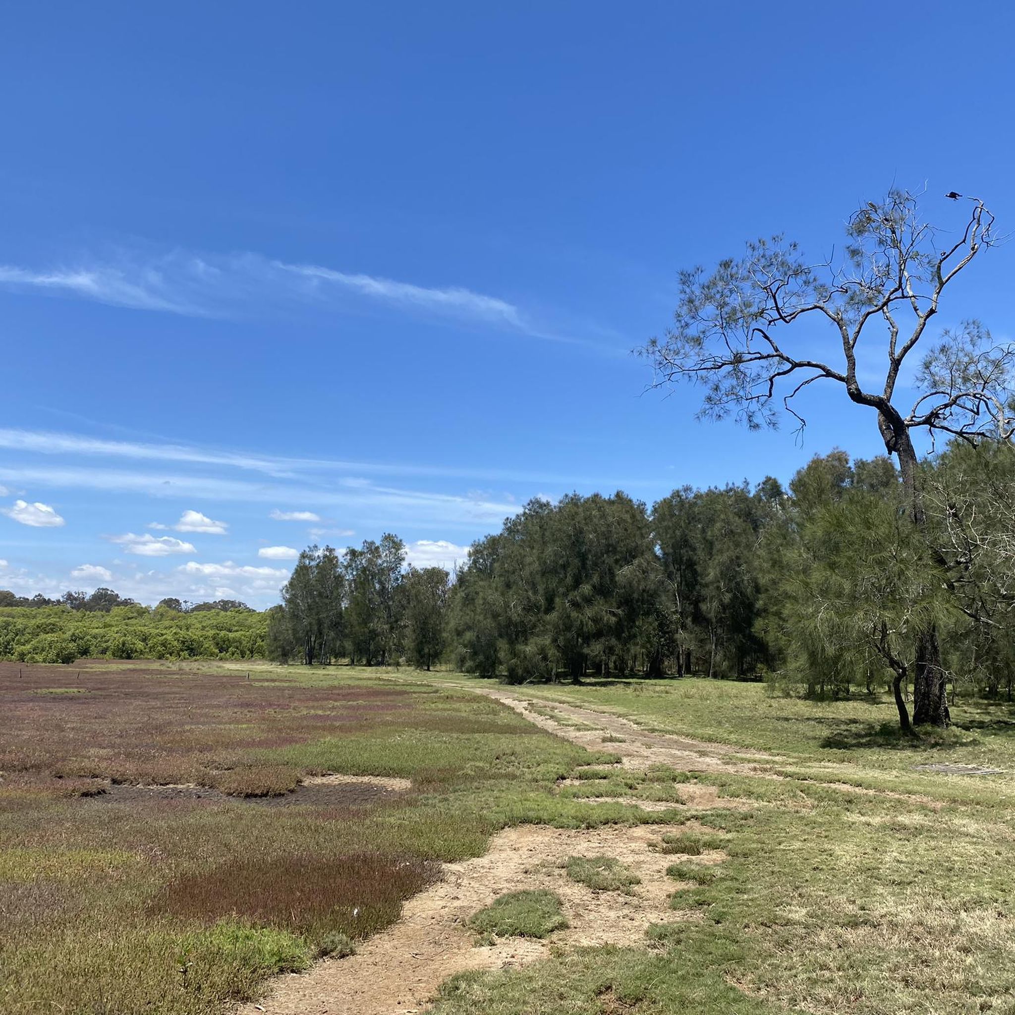
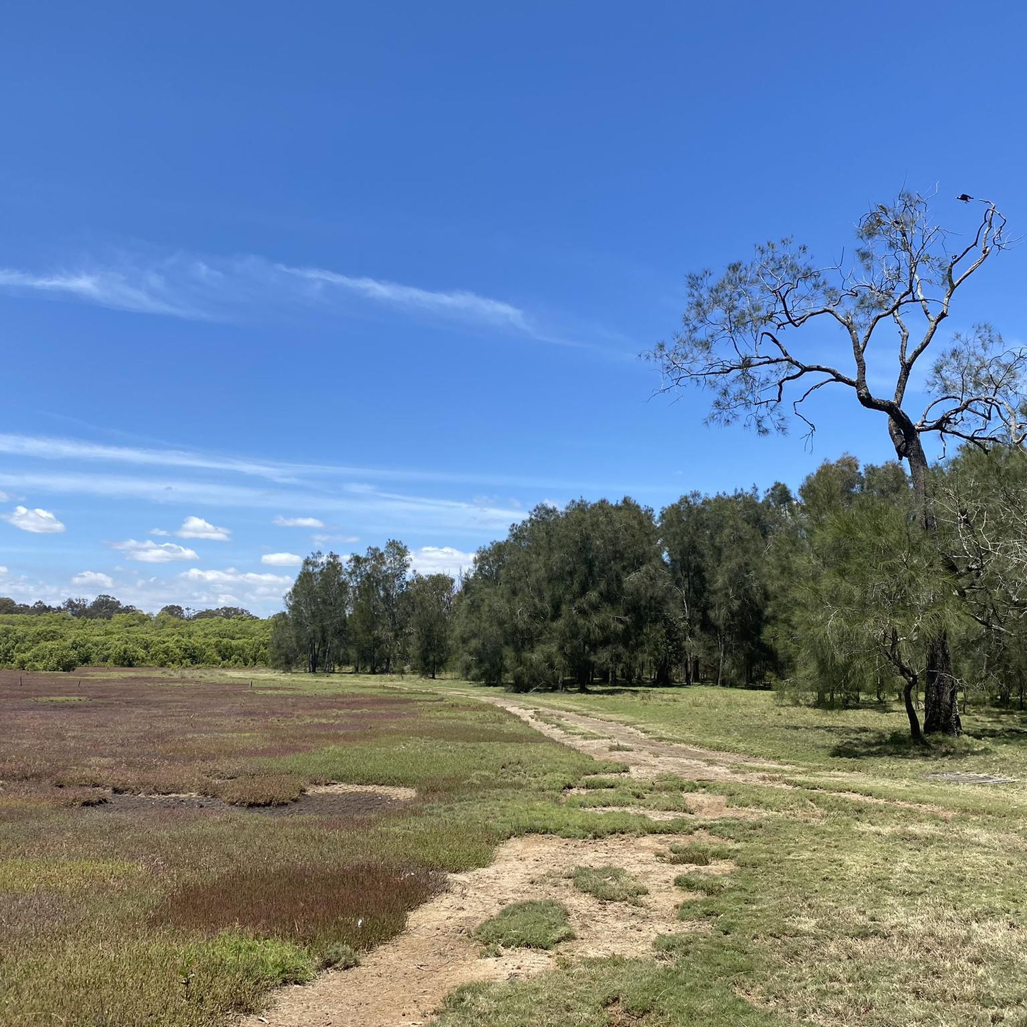
Schulz Canal is an engineered waterway designed for drainage and flood management. It runs through open, low-lying land, with grass-lined banks and wide, unobstructed views along its length. Water levels can vary depending on rainfall and tidal influence, with slower-moving sections and occasional birdlife along the edges.
0
0
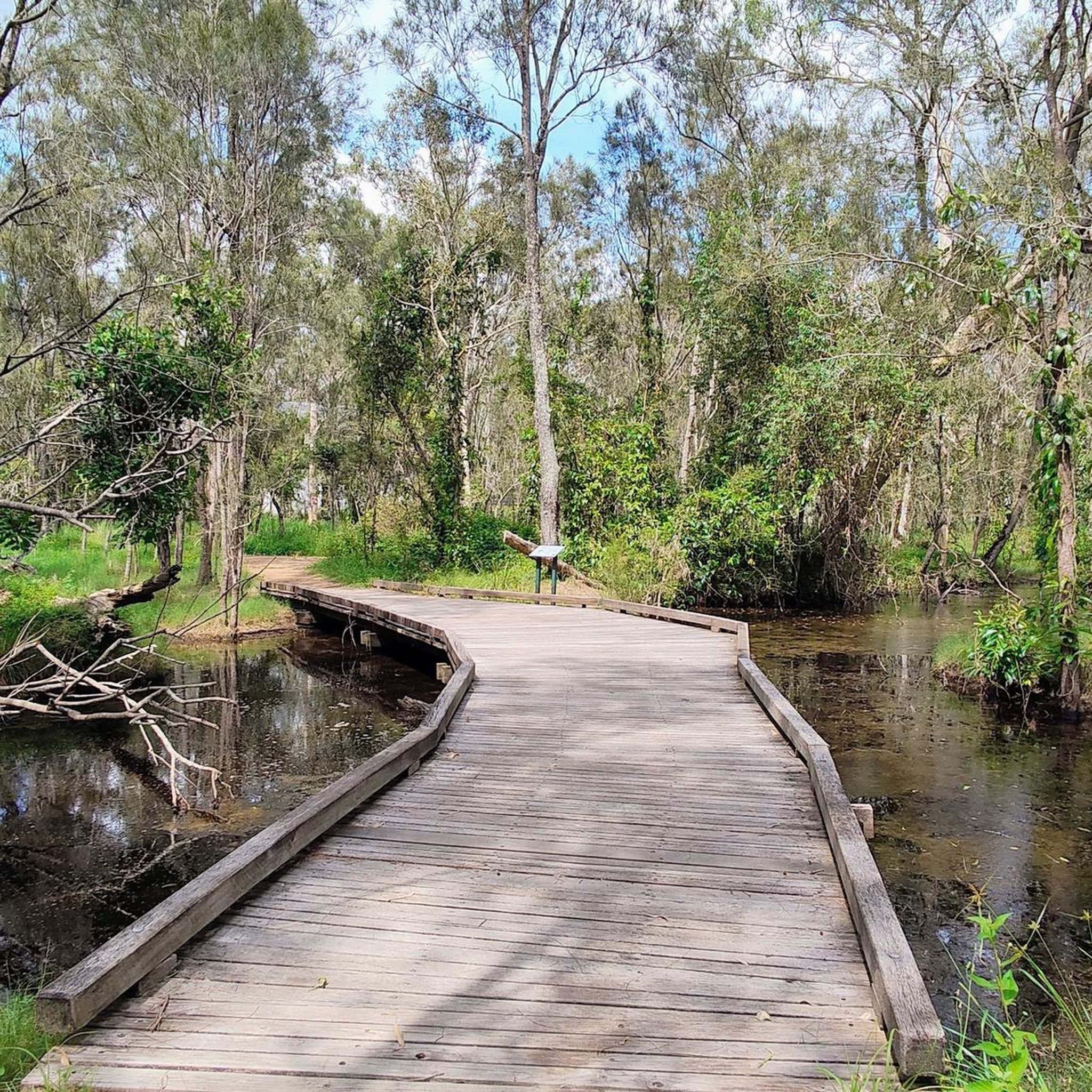
Running through Boondall Wetlands, the Jim Soorley Bikeway is a sealed shared path used by cyclists and walkers. The route passes through mangrove forest, saltmarsh, and open wetland areas, with sections of boardwalk and bridges over tidal creeks. It’s mostly flat, with long, uninterrupted stretches through the wetlands. Birdlife is common throughout, and conditions can feel exposed in open sections, with limited shade along parts of the route.
0
0
The Houghton Highway Bridge connects Brisbane to the Redcliffe Peninsula. A dedicated shared path runs alongside the bridge, used by both cyclists and pedestrians, with continuous views across Moreton Bay. The crossing is exposed, with little shelter from wind or sun, and conditions can feel noticeably different compared to the sheltered sections along the foreshore.
0
0
Stretching for over 150 kilometres, the Moreton Bay Cycleway runs along much of Brisbane’s northern coastline, linking areas from the city through to Redcliffe and beyond. This section between Shorncliffe and Woody Point follows the waterfront, with open views across Moreton Bay. The path is shared with pedestrians for much of the route, so expect mixed use and steady traffic.
0
0

Samford Conservation Park includes a network of shared and specialised trails, with the main walking route being the Crebra Circuit—a short 900-metre Grade 3 loop that winds through ironbark forest from the Ironbark Gully picnic area. Beyond this, a more expansive system of multi-use trails (shared by walkers, horse riders, and cyclists) connects fire roads and forest tracks across the park, ideal for an extended walk with plenty of varied route options. There are also multiple designated mountain-bike-only trails, including Kombi, Bandicoot, and Sunset, offering purpose-built downhill and intermediate-to-difficult riding experiences within the park’s wider trail network.
0
0
Frequently Asked Questions
What is the typical terrain like for mountain biking in Boondall Wetlands?
The terrain in Boondall Wetlands is largely flat and features a mix of surfaces, including bitumen, concrete, wooden boardwalks, and some dirt or gravel sections. While generally easy, some tracks might have minor slopes, narrow bridges, and can become uneven or rutted, especially after rain. It's more suited for leisurely rides than technical mountain biking.
Are there family-friendly mountain bike trails in Boondall Wetlands?
Yes, Boondall Wetlands is an excellent destination for family-friendly cycling. The trails are generally easy and accessible, making them suitable for riders of all skill levels. For example, the Binocular loop from Deagon is rated as easy and offers a pleasant ride through the wetlands.
What kind of wildlife can I expect to see while mountain biking in Boondall Wetlands?
Boondall Wetlands is a haven for wildlife, especially birds. You can expect to see a wide array of birdlife, including migratory shorebirds, particularly around the tidal flats and waterholes. The diverse ecosystems, including mangroves, saltmarshes, and melaleuca forests, support over 190 species of birds, making it a fantastic spot for nature observation.
What natural features or landmarks can I explore along the trails?
The wetlands offer diverse natural features such as extensive mangrove forests, saltmarshes along Nundah Creek and Moreton Bay, and melaleuca wetlands with casuarina and eucalypt woodlands. You can also visit the Boondall Wetlands Environment Centre for educational displays, or enjoy expansive views from the Anne Beasley Lookout. Bird hides are strategically placed for discreet birdwatching.
Is there parking available for mountain bikers at Boondall Wetlands?
Yes, there are numerous picnic areas and facilities within Boondall Wetlands, which typically include parking. The Boondall Wetlands Environment Centre is a central hub and usually has parking available, providing convenient access to the bikeway network.
What is the best time of year to visit Boondall Wetlands for mountain biking?
The Boondall Wetlands can be enjoyed year-round. However, for the most comfortable riding conditions, consider visiting during the cooler, drier months. After heavy rainfall, some tracks might become uneven, rutted, or even flooded, so checking local conditions is advisable.
Are there any longer mountain bike routes for more experienced riders?
While many trails are easy, there are longer options available. For instance, the Kedron Brook Cycleway loop from Toombul is a moderate 31.1-mile (50.1 km) path that follows the cycleway, offering varied scenery and a longer ride. For a more challenging experience, the Pump Shed Road Descent – Camp Mountain Lookout loop from Strathpine is rated difficult and significantly longer.
Can I reach Boondall Wetlands by public transport?
Boondall Wetlands is accessible by public transport. The Boondall train station is located nearby, providing a convenient option for reaching the area and accessing the bikeway network without a car.
What do other mountain bikers enjoy most about the trails in Boondall Wetlands?
The trails in Boondall Wetlands are highly rated by the komoot community, with an average score of 4.9 stars. Reviewers often praise the unique wetland ecosystems, the abundance of birdlife, and the accessible, well-maintained shared pathways that make for a pleasant and scenic ride.
Are there any loop tracks available for mountain biking?
Yes, many of the routes in Boondall Wetlands are designed as loops, allowing you to start and finish at the same point. Examples include the Binocular loop from Deagon and the Bee Gees Way loop from Woody Point, which offer circular journeys through the diverse landscapes.
Are there cafes or facilities near the mountain bike trails?
Yes, there are facilities available. The Boondall Wetlands Environment Centre serves as a hub for visitors, and there are numerous picnic areas throughout the wetlands. While specific cafes directly on the trails might be limited, you'll find options in the surrounding suburbs like Nudgee Beach or Boondall itself.
Most popular routes in Boondall Wetlands

Get inspired with the komoot mobile app


Explore more
Browse the best MTB trails in other regions.
