The best road cycling routes in Pumicestone National Park
4.2
(4)
277
riders
7
rides
Road cycling routes in Pumicestone National Park traverse a low-lying conservation area characterized by flat terrain and scenic waterways. The park's eastern boundary is defined by the Pumicestone Passage, a 22-mile (35 km) estuary with tidal channels and sandbanks. This region features significant wetlands and mangrove communities, providing a natural backdrop for cycling. Cyclists can also experience views across to the Glass House Mountains from various points along the routes.
Best road cycling routes in Pumicestone National Park
- The most…
Last updated: July 4, 2026
4.0
(1)
16
riders
29.6km
01:34
120m
120m
Easy road ride. Great for any fitness level. Mostly well-paved surfaces and easy to ride.
42
riders
64.9km
03:06
240m
240m
Moderate road ride. Good fitness required. Mostly well-paved surfaces and easy to ride.

Sign up for free
34
riders
40.6km
01:56
140m
140m
Easy road ride. Great for any fitness level. Mostly well-paved surfaces and easy to ride.
16
riders
46.7km
02:11
170m
170m
Moderate road ride. Good fitness required. Mostly well-paved surfaces and easy to ride.
12
riders
45.6km
02:01
360m
360m
Moderate road ride. Good fitness required. Mostly well-paved surfaces and easy to ride.
Get access to more routes and recommendations from other explorers.
Sign up for free
Already have an account?
Our route recommendations are based on thousands of hikes, rides, and runs completed by other people on komoot.
Start today with a free account
Your next adventure awaits.
Login or Signup
Popular around Pumicestone National Park
Tips from the Community

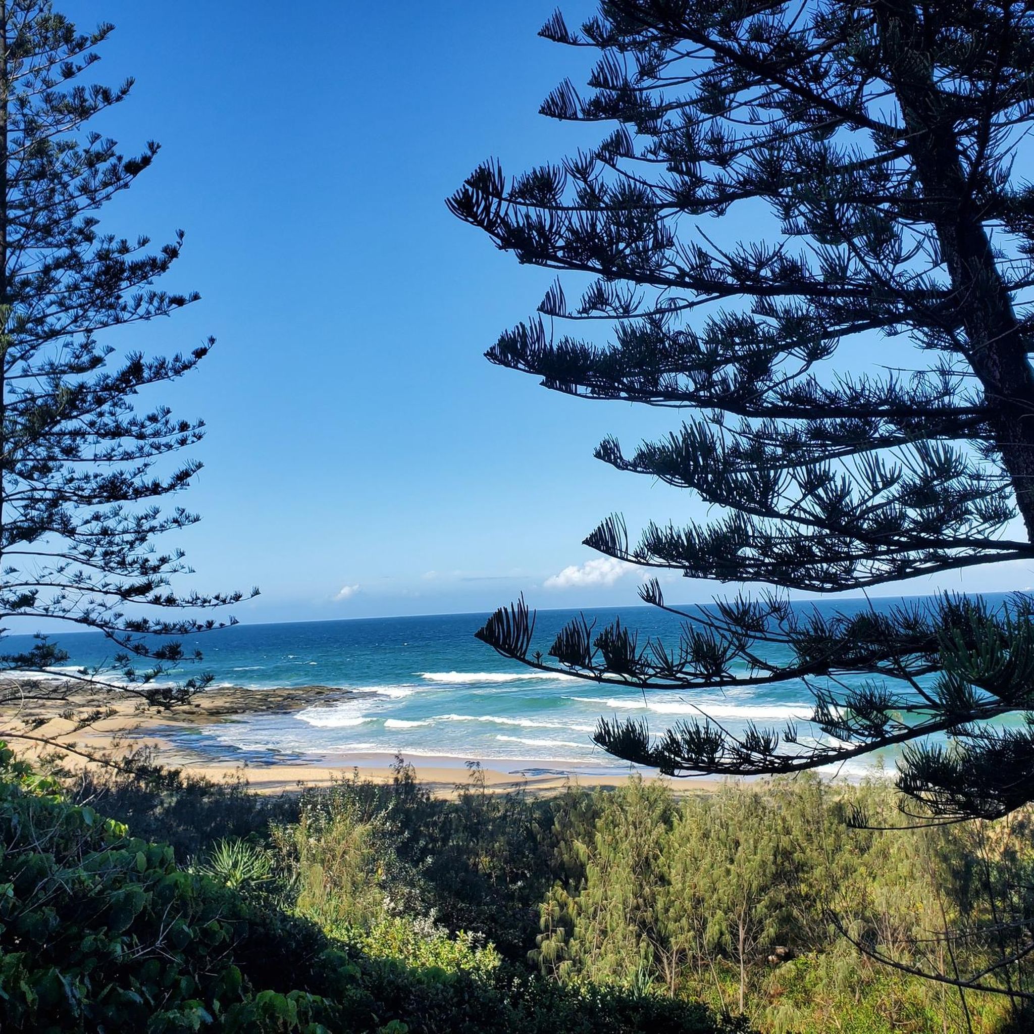
Keith Hill Park is a long waterfront park that stretches for around 1.5 kilometres along the southern end of Golden Beach, following the edge of the Pumicestone Passage. There are open lawns, picnic areas, playgrounds, and a shared pathway, making it a popular place for walking, cycling, and spending time by the water. At the southern end, the park reaches the mouth of Bells Creek, with a boat ramp and calm waters popular for boating, paddling, and fishing.
0
0
Tripcony Park is a small waterfront park nestled along the Pumicestone Passage with open views across the water toward Bribie Island. The park sits near what was once an important arrival point for early visitors to Caloundra, when passengers and supplies reached the town by boat before road access improved. Today, there are open lawns with plenty of shade, and several picnic areas, and its position on the coastal pathway makes it a lovely place to stop and watch boats move through the channel.
0
0
Caloundra Coastal Walk is a picturesque coastal trail that runs roughly 25 kilometres connecting beaches, headlands, and waterfront parklands along the shoreline. The sealed pathway follows the coastline past well known recreation areas including several parks, Kings Beach and Bulcock Beach, with endless beautiful ocean and passage views. It's relatively flat and well-maintained, making it an easy and popular route for walking, cycling, and running.
0
0
Bulcock Beach is a sheltered beach in Caloundra on the western side of the headland overlooking the Pumicestone Passage. Its calm waters are protected from ocean swell, making it an ideal spot for swimming, paddling, and family use. The beach sits alongside a lively foreshore with a boardwalk, picnic areas, and nearby cafés, making it an easy, accessible spot for relaxed seaside recreation.
0
0
Kings Beach is a popular surf beach on the Sunshine Coast known for its reliable waves and family-friendly facilities. The beach is patrolled for safety and includes a saltwater ocean pool, grassy areas for picnics, and a coastal boardwalk that connects to nearby headlands. With beautiful views across Moreton Bay towards Bribie Island, it's a great place for swimming, surfing, and enjoying a relaxing day by the seaside.
0
0

Siméon GREEN is right about swimming here. There will be flags over a very small section. There is a huge undertow - even between the flags at time. I even had difficulties staying safe standing up waist deep... great for a board. Lovely beach.
0
0

There's a bench and plenty place to park the bike. A spot to take a rest and enjoy the scenery. There are few commemorative plaques to honour our veterans here as well.
0
0
There's a park for children, so a good place to ride to and meet the family.
0
0
Frequently Asked Questions
How many road cycling routes are available in Pumicestone National Park?
Pumicestone National Park offers 7 distinct road cycling routes, catering to various preferences. These routes are generally low-lying and flat, making them accessible for many cyclists.
What kind of terrain can I expect when road cycling in Pumicestone National Park?
The terrain in Pumicestone National Park is predominantly flat and low-lying, making it ideal for road cycling. Routes often follow coastal paths along the Pumicestone Passage, offering scenic views of the estuary, wetlands, and mangroves. You can also enjoy picturesque views across to the iconic Glass House Mountains from various points.
Are there road cycling routes suitable for beginners or families in Pumicestone National Park?
Yes, there are 3 easy road cycling routes in the park, perfect for beginners or families. An excellent option is the Dicky Beach – Currimundi loop from Pelican Waters, which is 18.7 miles (30.1 km) long and offers coastal views.
What are some notable natural features or landmarks I can see along the road cycling routes?
Cyclists can enjoy expansive water views of the Pumicestone Passage, a significant estuary known for its diverse marine life and birdwatching opportunities. The routes also offer views of the Glass House Mountains and traverse areas with vital wetlands and mangrove communities.
Are there any circular road cycling routes in Pumicestone National Park?
Yes, many of the routes in Pumicestone National Park are designed as loops, allowing you to start and finish at the same point. For example, the Mooloolaba Beach – Dicky Beach loop from Golden Beach is a moderate 40.9 miles (65.9 km) circular path featuring varied coastal scenery.
What do other road cyclists enjoy the most about road cycling in Pumicestone National Park?
The area is highly rated by the komoot community, with an average score of 4.4 stars from 5 reviews. Reviewers often praise the flat, accessible terrain, the stunning coastal views along the Pumicestone Passage, and the opportunities for birdwatching and experiencing the natural wetlands.
What is the best time of year to go road cycling in Pumicestone National Park?
The low-lying nature of Pumicestone National Park makes it enjoyable for cycling year-round. However, the cooler, drier months from autumn to spring (March to November) generally offer the most comfortable conditions, avoiding the peak heat and humidity of summer.
Are there any longer, more challenging road cycling routes for experienced riders?
While the park is known for its flat terrain, some routes offer longer distances for those seeking a moderate challenge. The Ewan Maddock Dam Walkway – View from Little Mountain loop from Caloundra is a moderate 45.6 miles (73.4 km) route with some elevation gain, providing a good workout.
Where can I find parking or access points for road cycling routes in the area?
Many routes in and around Pumicestone National Park start from coastal towns like Pelican Waters, Golden Beach, or Caloundra, where public parking is generally available. Specific trailheads are often located near popular beaches or residential areas that connect to the cycling networks.
Can I combine road cycling with other activities in Pumicestone National Park?
Absolutely. The park's significant wetlands and the Pumicestone Passage are renowned for birdwatching, with over 350 species of birds. The area is also important for marine life, including dolphins and dugongs. You can easily combine a ride with stops for scenic viewing or wildlife observation.
Are there cafes or facilities near the road cycling routes in Pumicestone National Park?
While the national park itself is a conservation area, the surrounding towns and communities, such as those on Bribie Island and along the mainland coast, offer various cafes, restaurants, and facilities where cyclists can refuel and relax. Routes often pass through or near these populated areas.
How long does it typically take to complete a road cycling route in Pumicestone National Park?
Route durations vary depending on distance and your pace. For instance, an easy route like the Dicky Beach – Currimundi loop from Pelican Waters typically takes around 1 hour 36 minutes, while a moderate, longer route such as the Mooloolaba Beach – Dicky Beach loop from Golden Beach might take approximately 3 hours 10 minutes.
Most popular routes in Pumicestone National Park

Get inspired with the komoot mobile app


Explore more
Browse the best Road cycling routes in other regions.
