The best running trails in Southern Moreton Bay Islands National Park
125
runners
14
runs
Jogging in Southern Moreton Bay Islands National Park offers a unique experience across a coastal landscape. The region is characterized by low-lying terrain, with routes often following waterways and coastal paths. Elevation gains are minimal, making for generally flat and accessible running conditions. This area provides a blend of natural scenery and developed coastal environments suitable for various running preferences.
Best jogging routes in Southern Moreton Bay Islands National Park
- The most popular jogging route is Oyster Cove loop from Hope Island, a 6.8 miles (11.0 km) trail that takes 1 hour 8 minutes to complete. This route features flat terrain along the Oyster Cove area.
- Another top favourite among local runners is Oyster Cove – Cova Marina loop from Eastern Grey Reserve, a difficult 11.2 miles (18.1 km) path. This longer route explores more of the coastal waterways and residential areas.
- Local runners also love the Phil Hill Environmental Park loop from Hope Island, a 10.1 miles (16.3 km) trail leading through coastal parklands, often completed in about 1 hour 40 minutes.
- Jogging in Southern Moreton Bay Islands National Park is defined by coastal paths, flat terrain, and views of waterways. The network offers options for different ability levels, from moderate to more challenging long-distance running.
- The guide includes highly-rated routes that showcase the best of the region's landscape. More than 400 runners have used komoot to explore Southern Moreton Bay Islands National Park's varied terrain.
Last updated: July 4, 2026
5
runners
11.0km
01:08
20m
20m
Moderate run. Good fitness required. Mostly paved surfaces. Suitable for all skill levels.
5
runners
18.1km
01:52
40m
40m
Hard run. Very good fitness required. Mostly paved surfaces. Suitable for all skill levels.

Sign up for free
7
runners
Hard run. Very good fitness required. Mostly paved surfaces. Suitable for all skill levels.
6
runners
6.69km
00:41
10m
10m
Moderate run. Good fitness required. Mostly paved surfaces. Suitable for all skill levels.
8
runners
6.20km
00:38
10m
10m
Moderate run. Good fitness required. Mostly paved surfaces. Suitable for all skill levels.
Get access to more routes and recommendations from other explorers.
Sign up for free
Already have an account?
Our route recommendations are based on thousands of hikes, rides, and runs completed by other people on komoot.
Start today with a free account
Your next adventure awaits.
Login or Signup
Popular around Southern Moreton Bay Islands National Park

Tips from the Community

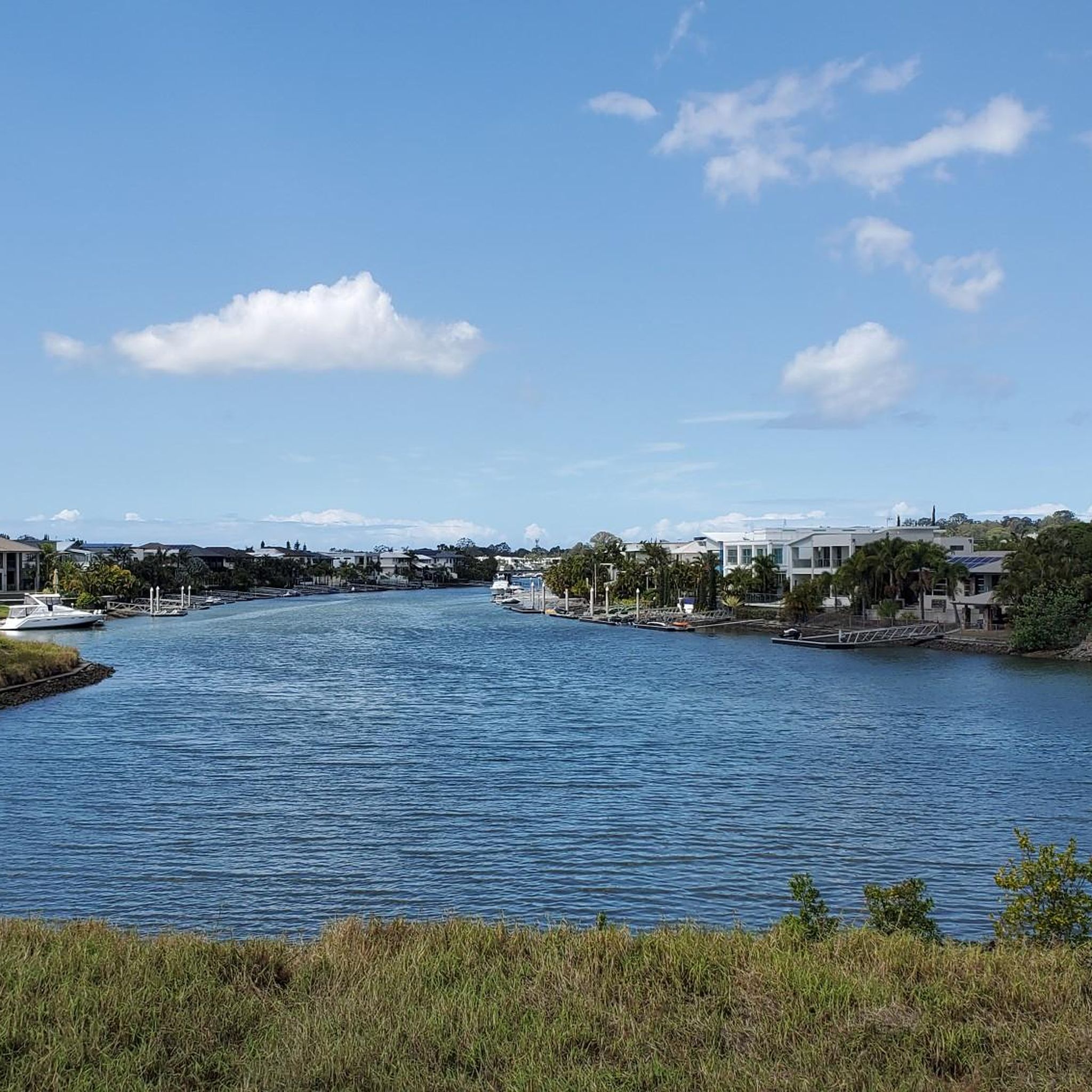
Located on the northern Gold Coast, Paradise Point sits along the Broadwater with a mix of residential streets, waterfront parklands, and small local centres. The area is known for its calm, protected waters compared to the open surf beaches further south, making it a popular spot for swimming, fishing, and boating. A series of jetties and foreshore access points run along the coastline, with views across to South Stradbroke Island and the surrounding waterways.
0
0
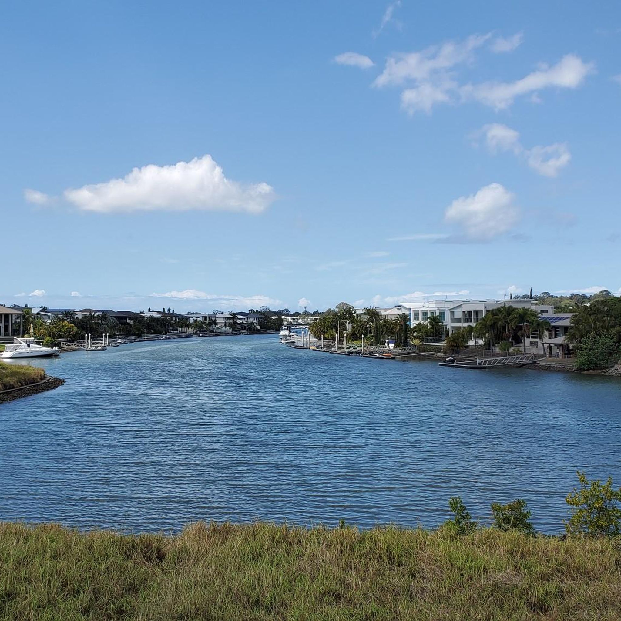
This shared path links parks, small beaches, and waterfront areas beside the Broadwater and Coomera River. The route is mostly flat and sealed, though sections near the point transition onto timber boardwalk. It’s a well-used path for walking, cycling, and running, with continuous water views and regular access to shaded parkland. Busier sections can require awareness due to mixed use.
0
0
This smaller, quieter beach sits along the Coomera River rather than facing South Stradbroke Island like most nearby foreshore swimming spots. The water here is typically calmer, with a more sheltered feel and fewer crowds. It sits beside Ann Jackson Park, a waterfront park with open grass, picnic areas, and direct access to the shoreline.
0
0
Frequently Asked Questions
How many running routes are available in Southern Moreton Bay Islands National Park?
There are 19 dedicated jogging routes in Southern Moreton Bay Islands National Park listed on komoot. These routes offer a variety of experiences across the coastal landscape.
Are there easy jogging routes suitable for beginners or shorter runs?
Yes, the park offers several easier options. There are 2 easy routes, and many moderate ones that are shorter. For example, the Running loop from Runaway Bay is a moderate 6.2 km (3.9 miles) path, ideal for a quicker run.
What is the typical terrain like for jogging in Southern Moreton Bay Islands National Park?
The terrain in Southern Moreton Bay Islands National Park is generally low-lying and flat, with minimal elevation changes. Routes often follow coastal paths and waterways, providing a smooth running surface suitable for various paces.
Are there any circular running routes in the area?
Yes, many of the jogging routes in Southern Moreton Bay Islands National Park are circular. For instance, the Running loop from Hollywell offers a pleasant 6.7 km (4.2 miles) circular path, allowing you to start and finish in the same location.
What kind of distances can I expect on the jogging trails?
Running routes in the park vary in length. You can find shorter options around 6 km (3.7 miles), such as the Running loop from Runaway Bay, up to longer, more challenging runs like the Phil Hill Environmental Park loop from Hope Island, which is 16.3 km (10.1 miles).
Is Southern Moreton Bay Islands National Park suitable for longer, more challenging runs?
Absolutely. For those seeking a greater challenge, there are 4 difficult routes available. The Phil Hill Environmental Park loop from Hope Island, at 16.3 km (10.1 miles), is a popular choice for experienced runners looking for a longer distance.
What is the best time of year to go jogging in Southern Moreton Bay Islands National Park?
The Southern Moreton Bay Islands generally experience a subtropical climate. The cooler, drier months from autumn to spring (March to November) are often preferred for outdoor activities like jogging, as summer can be hot and humid.
What should I wear for jogging in this region?
Given the coastal environment, lightweight, breathable athletic wear is recommended. Sun protection, including a hat, sunglasses, and sunscreen, is essential due to open exposure. Hydration is also key, so consider carrying water, especially on longer runs.
Are there any specific viewpoints or scenic spots along the running routes?
Many routes in Southern Moreton Bay Islands National Park offer scenic views of the waterways and coastal landscapes. Trails often run alongside the water, providing pleasant vistas throughout your run. While specific named viewpoints are not highlighted in the data, the general coastal setting ensures picturesque surroundings.
How can I find less crowded jogging routes in the park?
To find less crowded routes, consider exploring some of the less frequently recorded tours on komoot, or opt for runs during off-peak hours, such as early mornings or weekdays. The park's network of trails offers many options beyond the most popular ones, allowing for a more solitary experience.
What do other runners enjoy about jogging in Southern Moreton Bay Islands National Park?
Runners frequently appreciate the flat terrain and coastal scenery that define the routes in Southern Moreton Bay Islands National Park. The ability to run alongside waterways and through parklands provides a refreshing and engaging experience for many.
Most popular routes in Southern Moreton Bay Islands National Park

Get inspired with the komoot mobile app


Explore more
Browse the best Running Trails & Routes in other regions.
