The best road cycling routes in Myall Lakes National Park
87
riders
6
rides
Road cycling routes in Myall Lakes National Park traverse a landscape characterized by an expansive system of freshwater lakes, coastal forests, and over 40 kilometers of beaches. The terrain primarily features flat bitumen surfaces on key routes like Mungo Brush Road, though some segments on other routes may include unpaved sections. Cyclists can expect a mix of lakeside views, forested areas, and coastal vistas. The park's elevation changes are generally modest, with some routes offering gentle gradients.
Best road cycling…
Last updated: July 2, 2026
31
riders
54.6km
02:05
40m
40m
Moderate road ride. Good fitness required. Some segments of this route may be unpaved and difficult to ride.
14
riders
86.0km
03:28
280m
280m
Moderate road ride. Good fitness required. Mostly well-paved surfaces and easy to ride.

Sign up for free
21
riders
18.8km
00:48
120m
120m
Easy road ride. Great for any fitness level. Mostly well-paved surfaces and easy to ride.
16
riders
23.2km
01:06
170m
170m
Easy road ride. Great for any fitness level. Mostly well-paved surfaces and easy to ride.
Get access to more routes and recommendations from other explorers.
Sign up for free
Already have an account?
Our route recommendations are based on thousands of hikes, rides, and runs completed by other people on komoot.
Start today with a free account
Your next adventure awaits.
Login or Signup
Popular around Myall Lakes National Park
Tips from the Community

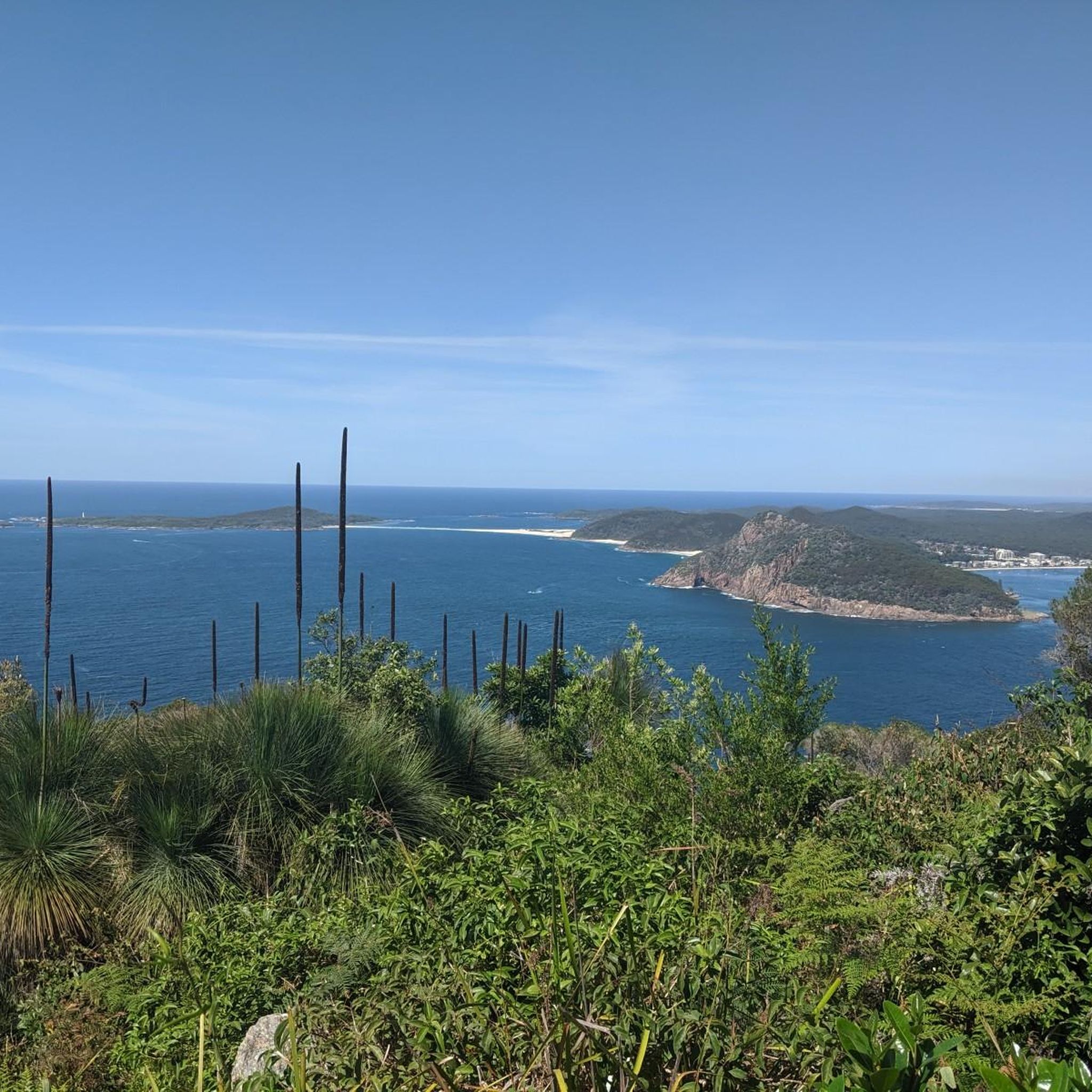
Shoal Bay is a sheltered coastal bay at the northern edge of Port Stephens, known for its calm, clear waters and gently curving sandy beach. Framed by surrounding headlands, including Tomaree Head, the bay is protected from strong ocean swells, making it popular for swimming and boating. From here, the view across the water is beautiful, inviting you to slow down and take in the scenery.
0
0
Tomaree Head is a prominent coastal headland within Tomaree National Park at the entrance to Port Stephens, known for its beautiful panoramic views over the bay and surrounding beaches. The area is accessed via the popular Tomaree Head Summit Walk and other short trails, with a car park, picnic areas, toilets and nearby beach access at Shoal Bay. Entry to Tomaree National Park is free, making it an easily accessible spot for walking, sightseeing and coastal wildlife viewing.
0
0


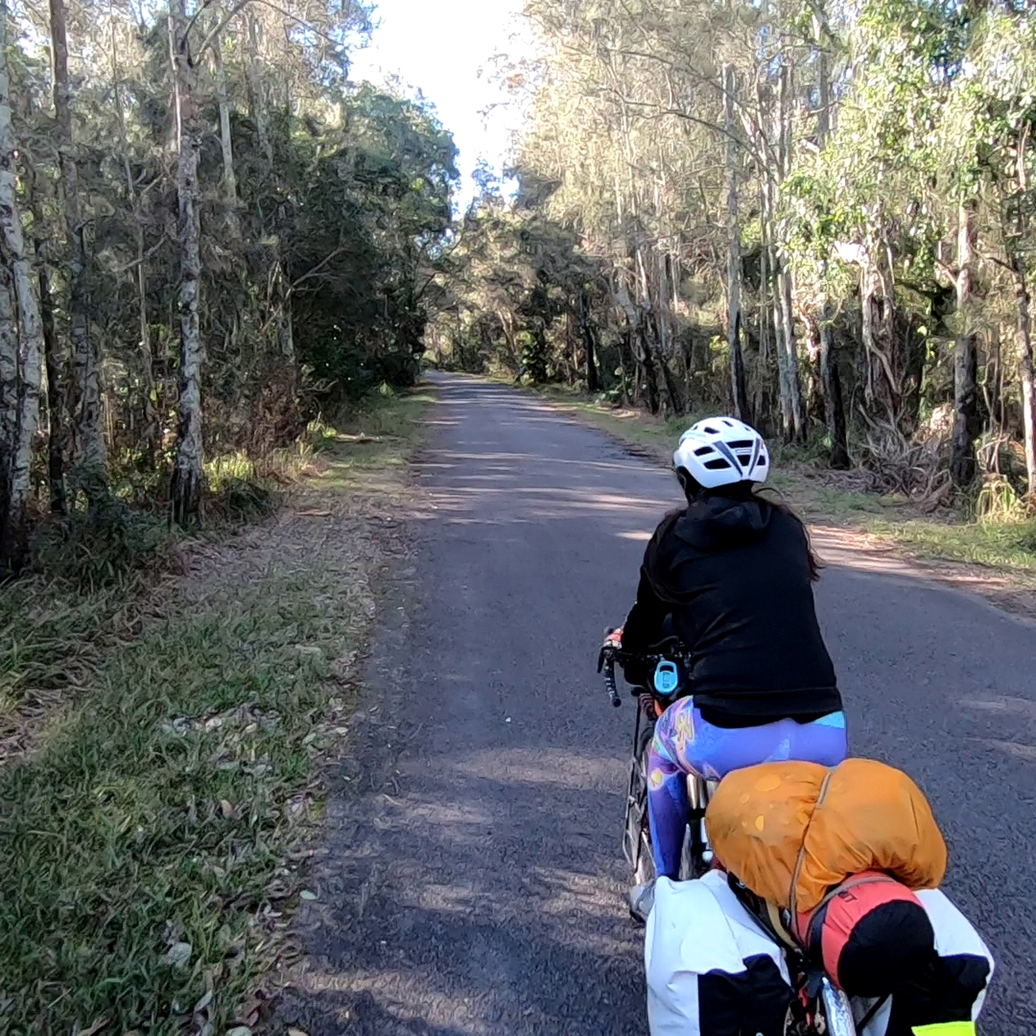
It's an easy 4hr ride from Tea Gardens to Bombah Point and back. Can stop along the way. You'll be back in Tea Gardens in time for lunch and the mid-afternoon return ferry to Nelson Bay.
1
0
Good coffee stop other side. Ferry on the 1/2 hr and hr during summer 8am - 6pm
0
0
Catch the first morning ferry from Nelson Bay to Tea Gardens
1
0
Frequently Asked Questions
What kind of terrain can I expect on road cycling routes in Myall Lakes National Park?
The road cycling routes in Myall Lakes National Park primarily feature flat bitumen surfaces, especially on key roads like Mungo Brush Road. However, some routes may include unpaved segments, which might be more comfortable on a road bike with slightly wider tires or a hybrid bike. For example, the Old Gibber Trail – Bombah Point Ferry loop has potential unpaved sections. Elevation changes are generally modest, offering gentle gradients suitable for various fitness levels.
Are there any easy road cycling routes suitable for beginners in Myall Lakes National Park?
Yes, Myall Lakes National Park offers several easy road cycling routes. The Little Beach loop from Nelson Bay is an easy 14.4-mile (23.2 km) route, and the Mangrove point – Bagnalls Beach Reserve loop from Nelson Bay is another easy option, covering 14.4 miles (23.2 km) through coastal areas.
What are the notable landmarks or natural features I can see while cycling in Myall Lakes National Park?
Cyclists can enjoy diverse scenery including the expansive Myall Lakes system, coastal forests, and over 40 kilometers of beaches. Points of interest include the culturally significant Dark Point Aboriginal Place, and the historic Sugarloaf Lighthouse at Seal Rocks, which offers breathtaking ocean views and whale watching opportunities between May and November. Routes often provide views of tranquil waterways and diverse ecosystems.
Is Myall Lakes National Park suitable for family-friendly road cycling?
Yes, the park offers routes with generally flat terrain and bitumen surfaces, making it suitable for families. Routes like Mungo Brush Road are known for their smooth cycling experience. When planning, look for routes described as 'easy' in the guide, such as the Little Beach loop from Nelson Bay, which are often good choices for families.
What is the best time of year to go road cycling in Myall Lakes National Park?
The park is enjoyable for road cycling throughout much of the year. Spring is particularly vibrant with abundant wildflowers. For whale watching from viewpoints like Sugarloaf Lighthouse, May to November is ideal. Always check local weather forecasts and road conditions before your trip, as some roads may undergo upgrades or be affected by strong winds, particularly around the Bombah Point ferry.
Are there any circular road cycling routes in Myall Lakes National Park?
Yes, several routes in the park are designed as loops. A popular moderate option is the Old Gibber Trail – Bombah Point Ferry loop from Singing Bridge, which is 33.9 miles (54.6 km) long. Another is the Roadbike loop from Shoal Bay, a moderate 51.7-mile (83.1 km) path with varied terrain.
Where can I park my car when visiting Myall Lakes National Park for cycling?
Myall Lakes National Park has numerous access points and facilities. While specific parking areas for each route are not detailed here, many campgrounds and picnic areas throughout the park offer parking. It's advisable to check the NSW National Parks website or local signage for designated parking spots near your chosen starting point.
Can I use public transport to access road cycling routes in Myall Lakes National Park?
Public transport options directly into the heart of Myall Lakes National Park are limited. Access is primarily by car. However, the Bombah Point ferry operates daily, providing access across the lake for a fee, though it is cash-only and may close under strong winds. This ferry can be part of a cycling route, such as the Old Gibber Trail – Bombah Point Ferry loop.
Are there any permits required for road cycling in Myall Lakes National Park?
Generally, permits are not required for cycling on designated roads and trails within Myall Lakes National Park. However, standard national park entry fees may apply for vehicles. It's always a good practice to check the official NSW National Parks website for the most current information regarding fees and any specific trail access requirements before your visit.
Are there cafes or pubs near the road cycling routes in Myall Lakes National Park?
While the park itself is largely natural, surrounding towns and villages near the park's boundaries, such as Nelson Bay or Tea Gardens, offer cafes, pubs, and other amenities where cyclists can refuel and relax. Some routes, like the Mangrove point – Bagnalls Beach Reserve loop from Nelson Bay, start or pass through areas with more facilities.
What do other road cyclists enjoy most about road cycling in Myall Lakes National Park?
Road cyclists frequently praise the diverse scenery, which includes tranquil lakeside views, lush coastal forests, and pristine beaches. The mix of flat bitumen surfaces on key routes and the opportunity to explore a Ramsar Wetland of International Significance are often highlighted. The komoot community has used these routes over 90 times, appreciating the varied terrain and natural beauty.
Are there any routes that offer significant elevation gain for a more challenging ride?
While Myall Lakes National Park is generally known for its modest elevation changes, some routes do offer more significant climbs. The Bramble's Reserve – WWII tank traps loop from Boomerang Dr at Peprico Pl, for example, features an elevation gain of over 486 meters, providing a more challenging experience for those seeking it.
Most popular routes in Myall Lakes National Park

Get inspired with the komoot mobile app


Explore more
Browse the best Road cycling routes in other regions.
