The best road cycling routes in Glenrock State Conservation Area
5.0
(29)
927
riders
53
rides
Road cycling routes in Glenrock State Conservation Area and its surrounding localities offer a mix of coastal paths, urban connections, and routes through forested areas. The region, situated near Newcastle's CBD, features varied terrain including gentle inclines and more challenging hills. While Glenrock State Conservation Area is known for its mountain biking trails, road cycling routes often utilize connecting pathways like the Fernleigh Track and other Newcastle cycleways. These routes provide access to coastal views and natural woodlands adjacent to…
Last updated: July 4, 2026
17
riders
Moderate road ride. Good fitness required. Mostly well-paved surfaces and easy to ride.
5.0
(1)
9
riders
21.5km
01:02
270m
270m
Easy road ride. Great for any fitness level. Mostly well-paved surfaces and easy to ride.

Sign up for free
34
riders
97.2km
04:30
800m
800m
Moderate road ride. Good fitness required. Mostly well-paved surfaces and easy to ride.
11
riders
16.6km
00:49
170m
170m
Easy road ride. Great for any fitness level. Mostly well-paved surfaces and easy to ride.
8
riders
74.4km
03:21
460m
460m
Moderate road ride. Good fitness required. Mostly well-paved surfaces and easy to ride.
Get access to more routes and recommendations from other explorers.
Sign up for free
Already have an account?
Our route recommendations are based on thousands of hikes, rides, and runs completed by other people on komoot.
Start today with a free account
Your next adventure awaits.
Login or Signup
Popular around Glenrock State Conservation Area
Tips from the Community

Macquarie Pier forms the breakwall extending from the harbour toward Nobbys Head in Newcastle. Construction began in 1818 under Governor Lachlan Macquarie, originally using convict labour to connect Nobbys Island to the mainland. The structure helped create a safer harbour entrance by stabilising the sand and controlling wave movement.
0
0
Lake Macquarie is the largest coastal saltwater lake in Australia, forming a broad, open water body surrounded by suburbs, parkland, and small inlets. From the shoreline, views stretch across long distances of water, often with boats, jetties, and changing light reflecting off the surface. It makes for a beautiful, breezy walk.
1
0

Nobbys Beach is one of Newcastle’s most prominent and accessible beaches, nestled at the entrance to the Hunter River near the iconic Nobbys Head and lighthouse. It’s well known as one of the safer swimming spots in the city, popular with families, beginner surfers, and walkers enjoying the adjacent breakwall and coastal paths. Surrounded by open parkland, benches, picnic areas, and shaded shelters, the beach is a great place to relax and spend the day, with beautiful views of passing ships. It is also a great place to start or finish the Bathers Way coastal walk.
0
0

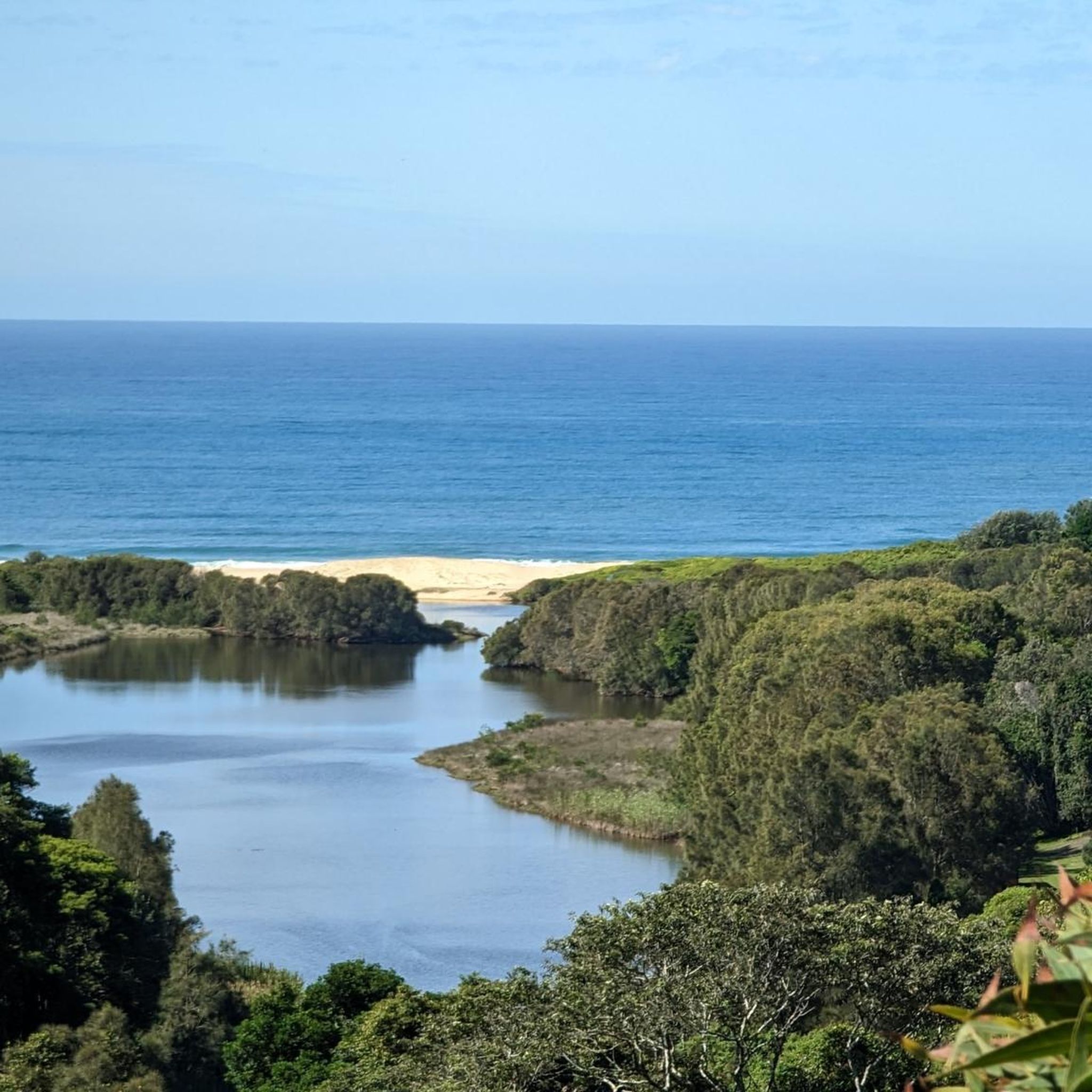
Awabakal Nature Reserve was established in January 1978 and spans a whopping 228 hectares. Dogs are not allowed in the reserve, but it's a great place for kids and is pram accessible via the paved Fernleigh Track. From July to October, wildflowers send the park into a colorful spectacle. The reserve is home to dense forests, ocean vistas, lagoons, restrooms, and picnic benches.
0
0
The Former Belmont Railway Station serves as the terminus for the Fernleigh Track. Here are remnants of the old train tracks, a station platform, and a commemorative sign. This railway was converted into the Fernleigh Track, a rail trail that makes good use of the old corridor. Here you will also find the library and a little food stand to fuel up before or after your adventure.
0
0

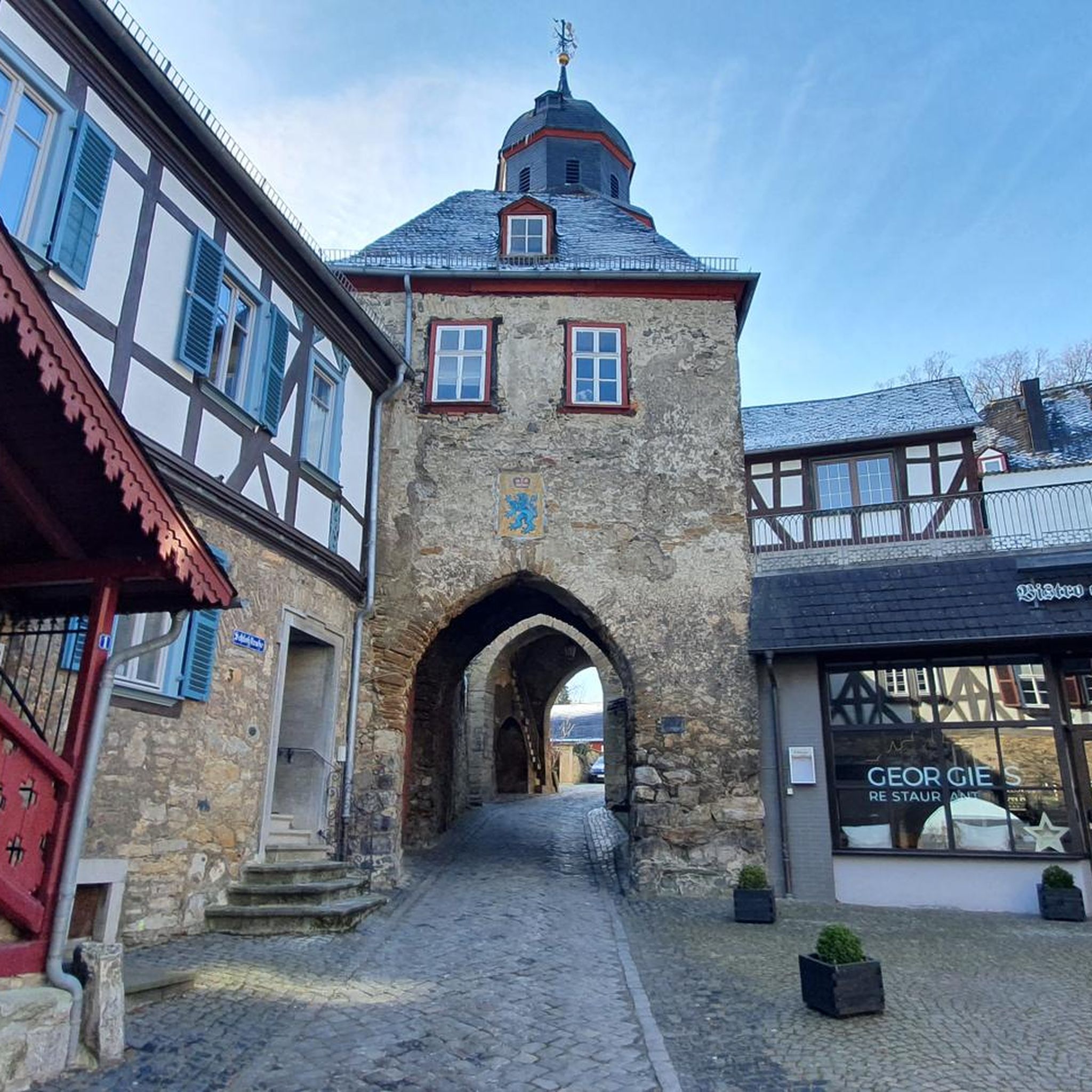
The heritage-listed Newcastle Customs House was originally completed in 1877 and was in use as a customs house and other government facility until the 1989 Newcastle Earthquake. The building was heavily damaged during the tremor and was closed until major renovations and other seismic proofing work was completed. The building was reopened in 1995 as the Customs House Hotel.
0
0
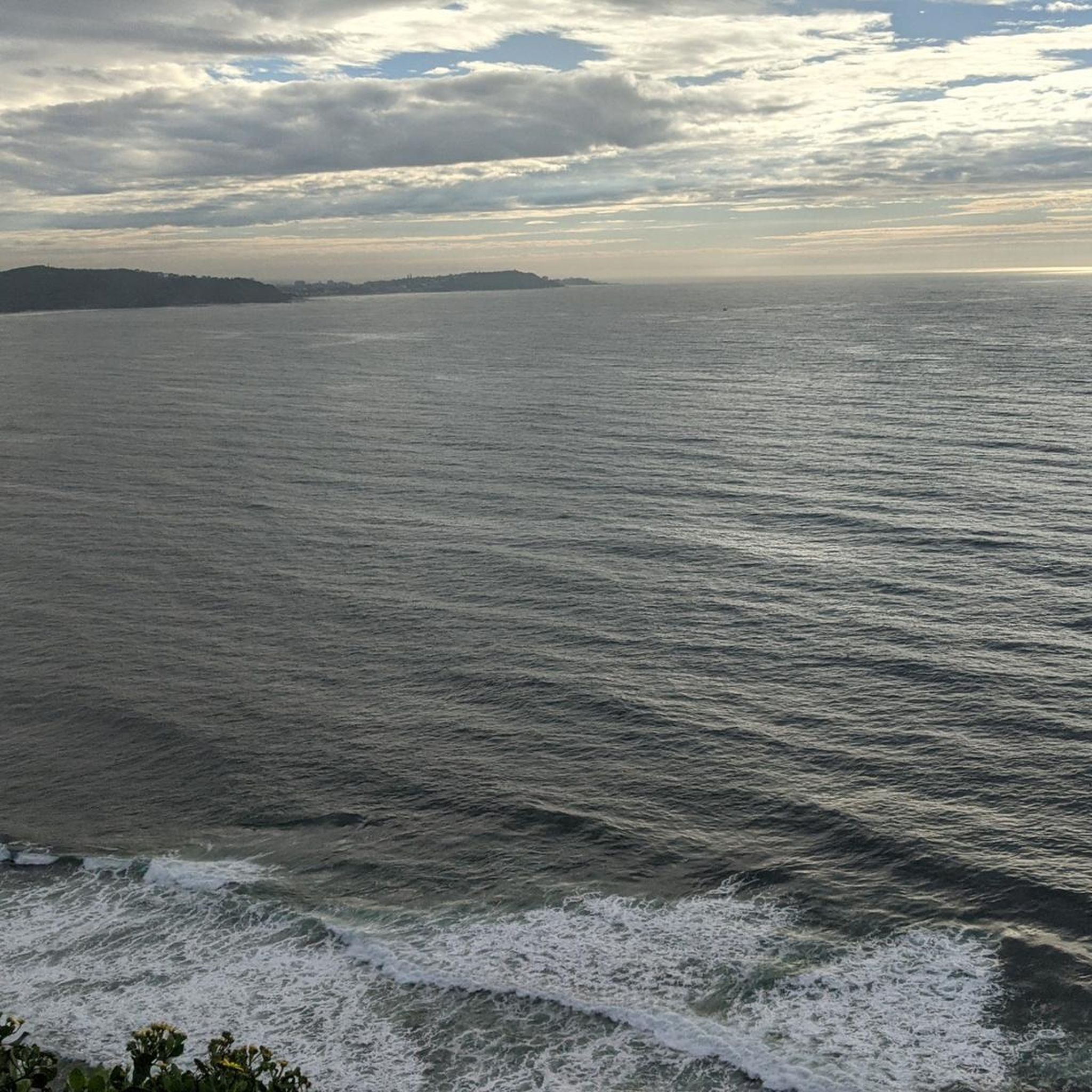
From here you have an excellent view of the historic Nobbys Head Lighthouse. The crashing waves in the foreground add a dramatic touch to the iconic landmark.
0
0
Frequently Asked Questions
How many road cycling routes are available in Glenrock State Conservation Area and its surroundings?
There are over 60 road cycling routes available in Glenrock State Conservation Area and its surrounding localities. These routes offer a mix of coastal paths, urban connections, and trails through forested areas, catering to various preferences.
What is the best time of year for road cycling in the Glenrock area?
The Glenrock area is generally pleasant for road cycling throughout the year. However, for optimal conditions, consider cycling during the cooler months to avoid the peak summer heat. Whale migration season, from May to November, can offer additional scenic views from coastal lookouts.
What kind of terrain and elevation can I expect on road cycling routes near Glenrock State Conservation Area?
Road cycling routes in the Glenrock area feature varied terrain. While some routes utilize relatively flat urban cycleways and shared paths like the Fernleigh Track, others, particularly those connecting to the conservation area, can include significant inclines. The region is known for its 'hills, hills, hills,' offering challenging climbs for those seeking a rigorous workout.
Are there road cycling routes suitable for beginners or families in the Glenrock area?
Yes, there are several road cycling routes suitable for beginners and families. Out of the 65 routes available, 23 are rated as easy. These often utilize connecting cycleways and shared paths, providing a more relaxed experience. An example of an easy route is Whitebridge Railway Station – Hickson Street Lookout loop from Dudley, which offers potential coastal views.
Are there any advanced road cycling options for experienced riders in the Glenrock area?
For experienced riders seeking a challenge, there are 5 routes rated as difficult in the Glenrock area. These routes often feature longer distances and more significant elevation gains, providing a demanding ride. An example of a moderate route that can be extended for a longer challenge is the Whitebridge Railway Station – Start of Fernleigh Track loop from Adamstown, which covers nearly 100 km.
What natural features or viewpoints can I expect to see while road cycling near Glenrock State Conservation Area?
While road cycling, you can enjoy coastal views, especially from routes that pass near Burwood Beach or Leichhardt's Lookout. The routes also traverse through tranquil forest settings with spotted gum, ironbark, and white mahogany trees. Although the Yuelarbah Trail with its waterfalls is primarily for pedestrians, connecting road routes offer glimpses of the diverse landscapes surrounding the conservation area.
Where can I park my car when road cycling in Glenrock State Conservation Area?
Glenrock State Conservation Area is conveniently located just 5-10 kilometers from Newcastle's CBD, making it easily accessible. Parking is generally available at various access points to the conservation area and along connecting cycleways. Specific parking information can often be found on local council or National Parks websites for the area.
Is public transport available to reach road cycling routes near Glenrock State Conservation Area?
Yes, due to its proximity to Newcastle's CBD, public transport options are available to reach areas near Glenrock State Conservation Area. Many road cycling routes, such as those utilizing the Fernleigh Track, have access points that are reachable by public transport, allowing for convenient access to your ride.
Are there any permits required for road cycling in Glenrock State Conservation Area?
Generally, no specific permits are required for road cycling on public roads or designated cycleways that connect to or run adjacent to Glenrock State Conservation Area. However, it's always advisable to check the official NSW National Parks and Wildlife Service website for any specific regulations or updates regarding the conservation area.
What do other road cyclists enjoy the most about road cycling in the Glenrock area?
The Glenrock area is highly rated by the komoot community, with an average score of 4.97 stars from over 30 reviews. Road cyclists often praise the diverse network of coastal connections, urban cycleways, and routes through local woodlands. The ability to find options for different ability levels, from easy loops to more challenging, longer distances, is also frequently highlighted.
Are there any loop trails for road cycling in the Glenrock State Conservation Area region?
Yes, many road cycling routes in the Glenrock region are designed as loops, offering convenient starting and ending points. For example, The Good Food – Whitebridge Railway Station loop from Adamstown Heights is a popular 22.3 km loop that connects suburban areas with local amenities.
Can I find cafes or places to eat near the road cycling routes in Glenrock State Conservation Area?
Yes, given the area's proximity to Newcastle and its suburbs, you'll find numerous cafes and eateries near the road cycling routes. Many routes connect through or pass close to local towns and urban centers, providing ample opportunities for refreshments before, during, or after your ride.
Most popular routes in Glenrock State Conservation Area

Get inspired with the komoot mobile app


Explore more
Browse the best Road cycling routes in other regions.
