The best running trails in Tuggerah State Conservation Area
5.0
(2)
186
runners
10
runs
Jogging in Tuggerah State Conservation Area offers diverse landscapes for outdoor exercise. The region features lush forests, tranquil waterways, and serene bushland, providing varied terrain for runners. Trails range from mostly paved surfaces to more accessible paths, with options for different distances and elevation changes. The area is characterized by its natural ambiance and scenic views, including lakeside paths and lookout points.
Best jogging routes in Tuggerah State Conservation Area
- The most popular jogging route is Tim Farrell Lookout loop…
Last updated: November 10, 2026
35
runners
28.8km
03:00
80m
80m
Hard run. Very good fitness required. Mostly paved surfaces.
52
runners
15.0km
01:34
50m
50m
Moderate run. Good fitness required. Mostly paved surfaces.

5.0
(1)
19
runners
5.40km
00:40
90m
90m
Moderate run. Good fitness required. Mostly paved surfaces.
5.0
(1)
13
runners
8.79km
01:02
130m
130m
Moderate run. Good fitness required. Mostly paved surfaces.
14
runners
6.19km
00:39
20m
20m
Moderate run. Good fitness required. Mostly paved surfaces.
Get access to more routes and recommendations from other explorers.
Already have an account?
Our route recommendations are based on thousands of hikes, rides, and runs completed by other people on komoot.
Start today with a free account
Your next adventure awaits.
Popular around Tuggerah State Conservation Area

Tips from the Community

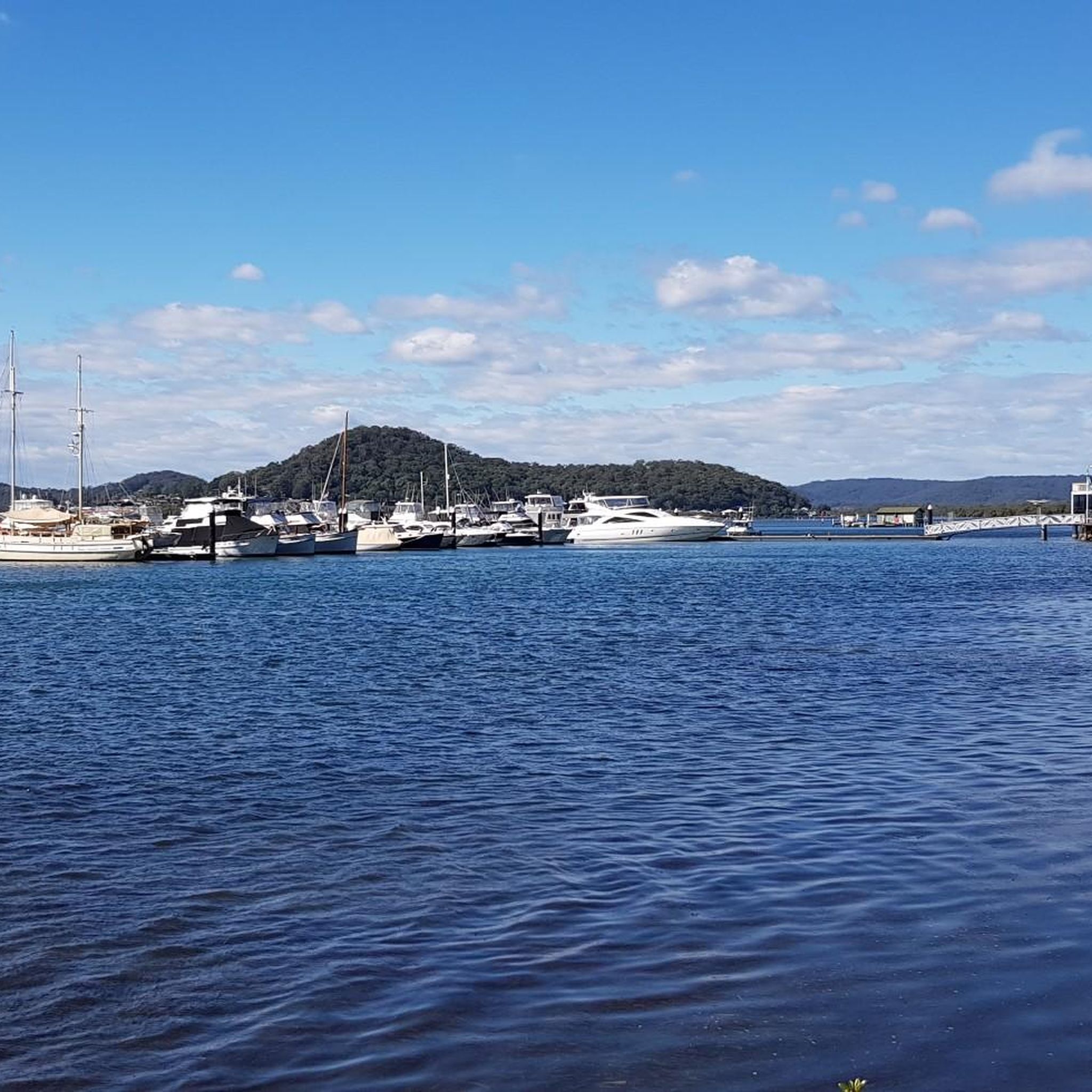
The Entrance Bridge crosses the channel where Tuggerah Lake meets the ocean, connecting The Entrance with The Entrance North. Built in the late 1960s, this concrete bridge replaced a narrow, one-lane timber bridge that was constructed in 1934. It has a separate footpath and cycleway, so you can cross away from the traffic while you enjoy watching the water move through the channel below you.
0
0

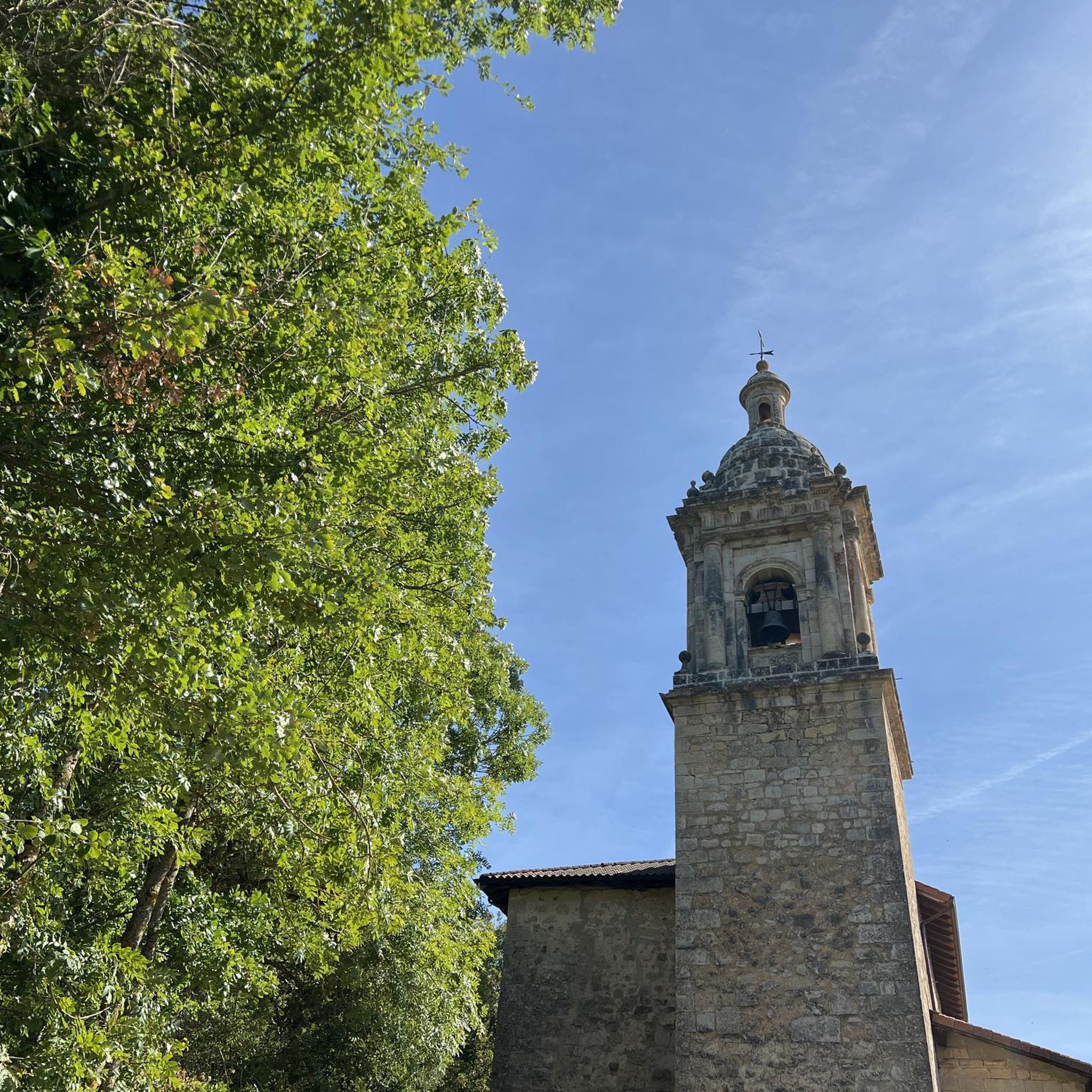
Crackneck Lookout is on the edges of a paved car park, with multiple benches, rubbish bins and picnic benches. When the weather allows, there are often paragliders taking off and landing on this large grassy stretch.
0
0

Frequently Asked Questions
What kind of terrain can I expect on the running trails in Tuggerah State Conservation Area?
The Tuggerah State Conservation Area offers a diverse range of terrains for runners. You'll find trails with mostly paved surfaces, such as sections of the Tuggerah Lakes Cycleway, ideal for smoother runs. Other paths are more accessible bushland trails, requiring sure-footedness. The area features lush forests, tranquil waterways, and serene bushland, providing varied experiences from flat lakeside paths to routes with significant elevation gain.
Are there any easy or beginner-friendly running routes in the area?
Yes, the Tuggerah State Conservation Area caters to various fitness levels. For beginners or those seeking a less strenuous, scenic run, the Tuggerah Lakes Cycleway is an excellent option. This 12-kilometer concrete path offers lakeside views and minimal elevation. While the guide highlights more challenging routes, there are also easier sections and shorter loops available within the conservation area.
Can I find running routes with scenic views or lookouts?
Absolutely. The Tuggerah State Conservation Area is known for its breathtaking natural scenery. Many routes offer picturesque waterways and verdant forests. Specific lookouts, such as Crackneck Lookout and Tim Farrell Lookout, provide stunning coastal views that make for rewarding stops during your run. For example, the Crackneck Lookout – Wyrrabalong Lookout loop from Bateau Bay offers beautiful vistas.
Are dogs allowed on the jogging trails in Tuggerah State Conservation Area?
Generally, dogs are not permitted in NSW national parks and reserves, including Tuggerah State Conservation Area, to protect native wildlife. It's always best to check the latest regulations with NSW National Parks and Wildlife Service before planning your run with a dog.
Are there any family-friendly running options in Tuggerah State Conservation Area?
For families looking for a pleasant run or walk, the Tuggerah Lakes Cycleway is a great choice. Its mostly flat, paved surface and scenic lakeside views make it suitable for all ages and fitness levels. While some routes in the conservation area are more challenging, there are also shorter, accessible paths that families can enjoy together.
What do other runners enjoy most about jogging in Tuggerah State Conservation Area?
The running routes in Tuggerah State Conservation Area are highly rated by the komoot community, with an average score of 5.0 stars from 2 reviews. Runners often praise the diverse landscapes, from lush forests to tranquil waterways, and the serene natural ambiance that provides a refreshing escape into the Australian wilderness. The variety of trails, catering to different fitness levels, is also a key highlight.
Are there any circular running routes available?
Yes, many of the running routes in Tuggerah State Conservation Area are designed as loops, offering a convenient way to start and finish at the same point. Examples include the Tim Farrell Lookout loop from Chittaway Bay and the Car graveyard #2 loop from Pacific Hwy before Dalgety Rd, providing varied distances and difficulties.
What are some of the more challenging running routes for experienced runners?
For experienced runners seeking a demanding workout, the Tuggerah State Conservation Area offers several challenging options. The Tim Farrell Lookout loop from Chittaway Bay is a difficult 28.8 km trail with extensive views. Another demanding path is the Car graveyard #2 loop from Pacific Hwy before Dalgety Rd, a 23.2 km route featuring significant elevation gain.
Is there parking available near the trailheads?
While specific parking details for every trailhead are not provided, Tuggerah State Conservation Area is generally accessible by car. It is advisable to check local signage or the NSW National Parks and Wildlife Service website for designated parking areas and any potential fees before your visit.
What is the best time of year to go running in Tuggerah State Conservation Area?
The changing seasons bring different charms to Tuggerah State Conservation Area, offering unique experiences year-round. However, for comfortable running, the cooler months of autumn and spring are often ideal, avoiding the peak heat of summer. Always check local weather forecasts before heading out, especially during periods of high temperatures or heavy rainfall.
Are there any cafes or places to get refreshments near the running routes?
While the conservation area itself focuses on natural experiences, the surrounding towns and communities, such as The Entrance and Chittaway Bay, offer various cafes and dining options where you can refuel before or after your run. These areas are typically a short drive from the main access points of the conservation area.
How many running routes are there in Tuggerah State Conservation Area?
There are over a dozen dedicated running routes available in Tuggerah State Conservation Area, catering to different distances and difficulty levels. These include a mix of easy, moderate, and difficult trails, ensuring options for every type of runner.
Most popular routes in Tuggerah State Conservation Area

Get inspired with the komoot mobile app


Explore more
Browse the best Running Trails & Routes in other regions.
