The best running trails in Muogamarra Nature Reserve
133
runners
9
runs
Jogging routes in Muogamarra Nature Reserve traverse a landscape characterized by Hawkesbury sandstone formations and varied terrain. The reserve features impressive volcanic pipes and diverse ecosystems, including dry sclerophyll forests and mangroves along the Hawkesbury River. Runners can experience a rich biodiversity, with over 900 plant species and opportunities for wildlife spotting. The area offers a mix of fire trails, grassy paths, and sections through rainforest-like environments.
Best jogging routes in Muogamarra Nature Reserve
- The most popular jogging route is…
Last updated: July 4, 2026
8
runners
19.4km
02:33
500m
500m
Hard run. Very good fitness required. Mostly paved surfaces. Suitable for all skill levels.
6
runners
14.7km
01:48
310m
310m
Hard run. Very good fitness required. Mostly paved surfaces. Suitable for all skill levels.

Sign up for free
34
runners
13.0km
01:37
230m
230m
Moderate run. Good fitness required. Mostly paved surfaces. Suitable for all skill levels.
6
runners
13.5km
01:41
250m
250m
Moderate run. Good fitness required. Mostly paved surfaces. Suitable for all skill levels.
16
runners
25.5km
03:04
520m
520m
Hard run. Very good fitness required. Mostly paved surfaces. Suitable for all skill levels.
Get access to more routes and recommendations from other explorers.
Sign up for free
Already have an account?
Our route recommendations are based on thousands of hikes, rides, and runs completed by other people on komoot.
Start today with a free account
Your next adventure awaits.
Login or Signup
Popular around Muogamarra Nature Reserve
Tips from the Community

This trailhead is accessible from Berowra station and is the northern access point of the Berowra Track from Mount Ku-ring-gai. The track is steep and runs along Waratah and Cowan Creeks, with some great lookout points along the way.
0
0

Berowra is a popular town for hikers, cyclists, and other outdoor enthusiasts of the great Sydney area. There is a popular hiking track between Berowra and Cowan that makes up part of The Great North Walk. Though this is usually done as a point to point walk, the convenient public transit links between the two towns make it easy to get back to your starting point.
0
0

Lyrebird Gully Track stretches 8.6 kilometers one way, and on each side of the track is a trackhead. This is the southernmost track head; both the north and south track heads have a train station, so bushwalkers can walk the Lyrebird Gully Track as an out-and-back or one-way and return to the other end on a 15-minute train ride.
0
0

Brisbane Water National Park protects more than 11,000 hectares of rugged sandstone ridges, sheltered valleys and coastal waterways on the Central Coast north of Sydney. The park is known for its network of bushwalking tracks, including sections of the Great North Walk. Its mix of scenic lookouts, Aboriginal heritage sites and quiet forest trails makes it a popular escape for walkers exploring the region.
0
0
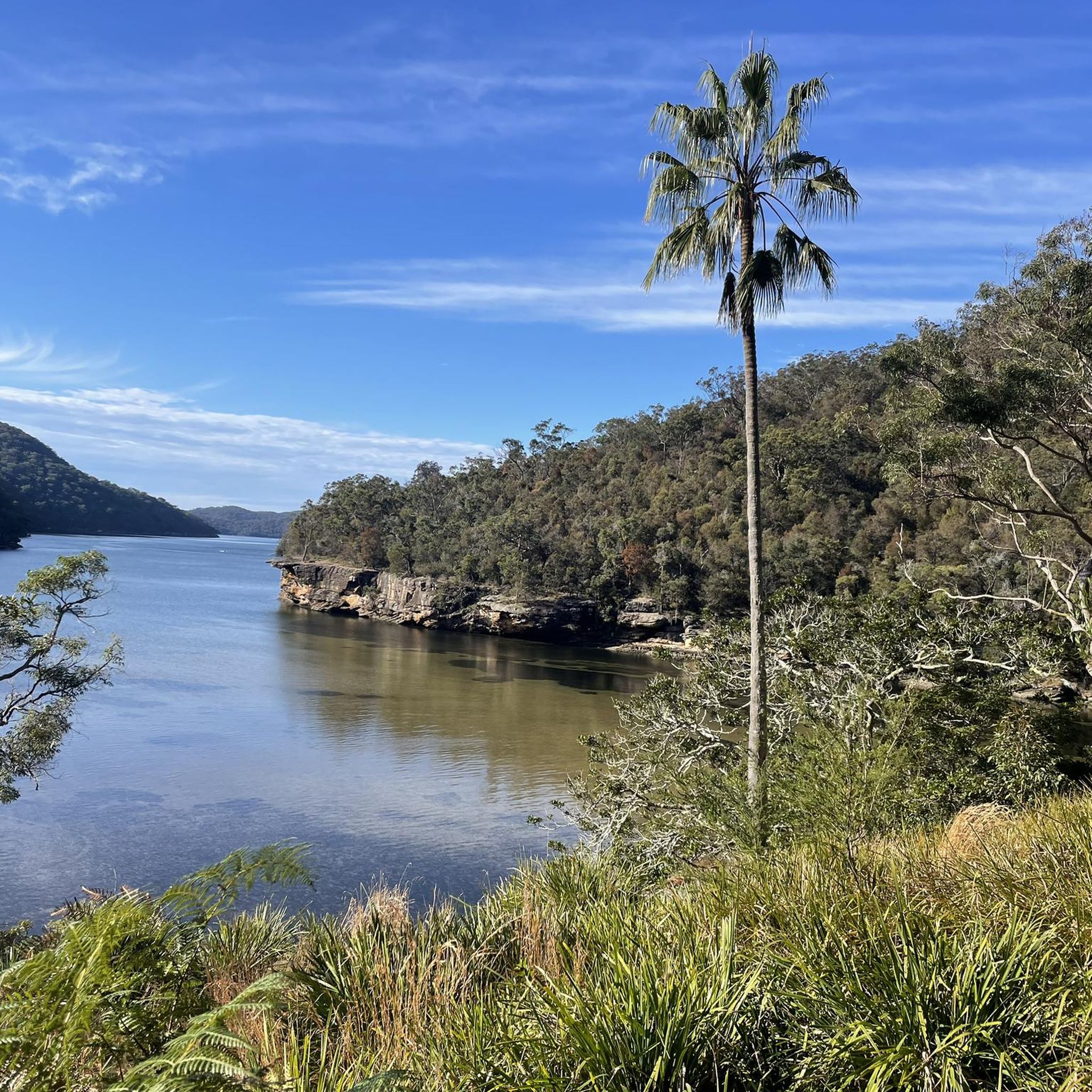
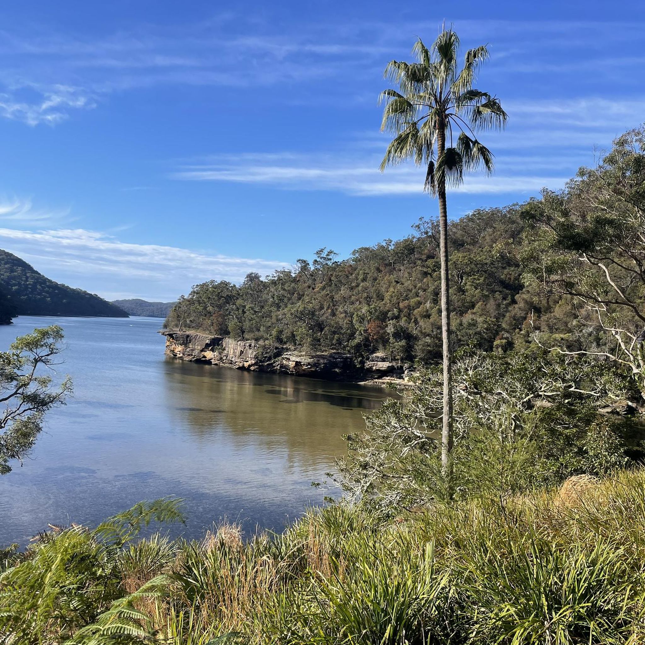
Along this section of the track, Cowan Creek is quiet, with shallow rocky pools, smooth sandstone slabs, and overhanging trees that create a sheltered, intimate setting. The still water reflects the surrounding forest, making it a peaceful contrast to the higher ridge sections of the creek along the walk away from the main foreshore at Bobbin Head.
0
0
The Bobbin Head Aboriginal Engraving Site features sandstone carvings created by the area’s Traditional Owners, depicting figures, animals and cultural symbols. A short side track leads to the engravings, where signage helps explain their meaning and significance. Visiting this site is a chance to learn and appreciate the long history of connection to this landscape.
0
0
The Warimoo Track climbs steadily through tall forest from Bobbin Head, following a well-formed bush track with a mix of steps and natural surface. As it gains elevation, glimpses through the trees hint at Cowan Creek below before the track returns to the ridge. It provides the return leg of the loop back toward the Sphinx Memorial through classic Ku-ring-gai bushland.
0
0
The Sphinx Memorial is a large sandstone monument built in the 1920s to honour Australian soldiers who served in World War I. Carved directly from the rock, it sits beside the track in open bushland, creating a quiet, reflective starting point for the walk. Its distinctive shape and historic significance make it one of the park's best-known landmarks.
0
0
Frequently Asked Questions
How many running routes are available in Muogamarra Nature Reserve?
Komoot features over a dozen running routes in Muogamarra Nature Reserve. These trails offer a variety of experiences, from moderate to challenging, allowing you to explore the region's unique landscapes.
What is the best time of year to go jogging in Muogamarra Nature Reserve?
The reserve is typically open to the public for only six weeks each year, usually in spring (August and September). This is the best time to visit, as the reserve transforms into a spectacular display of wildflowers, including native orchids, waratahs, and Gymea lilies, creating a vibrant and scenic backdrop for your run.
Are there any family-friendly jogging routes in Muogamarra Nature Reserve?
While many routes in the guide are challenging, the region research suggests some shorter, flatter options within the reserve that might be suitable for families or beginners. These include the Point Loop (2km) with views over Peats Crater, and the J.D. Tipper Loop (1km) overlooking Brooklyn. These offer a gentler introduction to the reserve's natural beauty.
What kind of terrain can I expect on the running trails?
Jogging routes in Muogamarra Nature Reserve traverse diverse terrain. You'll encounter paths over Hawkesbury sandstone formations, fire trails, grassy areas, and sections through dry sclerophyll forests and even rainforest-like environments. Some trails also feature impressive volcanic pipes and mangroves along the Hawkesbury River.
Are there any circular running routes in the reserve?
Yes, many of the routes in this guide are circular, offering a complete loop experience. For example, you can try the challenging Brooklyn Dam – Site of Windybanks Boatshed loop from Cowan, which is nearly 20 km long, or the equally demanding Pool – Calna Creek loop from Berowra, covering about 19.4 km.
What kind of wildlife might I see while running in Muogamarra Nature Reserve?
Muogamarra Nature Reserve is home to a rich biodiversity. You might spot swamp wallabies, brush-tailed possums, echidnas, and around 140 native bird species. The diverse ecosystems provide excellent opportunities for wildlife observation along the trails.
Are there any notable viewpoints or landmarks along the running trails?
Yes, the reserve offers several impressive viewpoints. The Point Loop provides views over Peats Crater and the Hawkesbury River. The J.D. Tipper Loop offers views overlooking Brooklyn. For more expansive vistas, the Deerubbin Lookover trail descends to a rock shelter with impressive views of the Hawkesbury River approximately 180 meters below. You can also find historical sites like Aboriginal rock engravings and shell middens.
What are some of the more challenging running routes in the area?
For experienced runners seeking a challenge, routes like the Brooklyn Dam – Site of Windybanks Boatshed loop from Hawkesbury River, a difficult 22 km path, or the Firefighters Rest – slipway loop from Berowra, a difficult 14.7 km trail, offer significant elevation changes and varied terrain to test your endurance.
What do other runners enjoy most about jogging in Muogamarra Nature Reserve?
Over 200 runners have used komoot to explore Muogamarra Nature Reserve. They often praise the region's unique natural features, such as the Hawkesbury sandstone plateaus and volcanic pipes, as well as the opportunity to experience diverse ecosystems and historical sites while running.
Is there public transport access to the jogging trails in Muogamarra Nature Reserve?
While the guide focuses on the trails themselves, accessing Muogamarra Nature Reserve often requires planning. For detailed information on public transport options to the reserve, it's best to consult the official National Parks website: nationalparks.nsw.gov.au.
Are there any specific permits or bookings required to jog in the reserve?
Yes, Muogamarra Nature Reserve is a protected area with limited public access. It is typically open for only six weeks in spring, and booking in advance, especially for guided tours, is essential. You should check the official NSW National Parks website for current access requirements and booking information: nationalparks.nsw.gov.au.
Are there any routes that feature waterfalls or unique water features?
Yes, the region research mentions the Bird Gully Swamp trail, which skirts a unique 'hanging swamp' habitat and leads to the top of a waterfall. This offers a distinct natural feature to experience during your run.
What should I wear for jogging on the trails in Muogamarra Nature Reserve?
Given the varied terrain, including sandstone, fire trails, and potentially wet areas near swamps or rivers, it's advisable to wear sturdy trail running shoes with good grip. Layered clothing is also recommended, especially during spring when temperatures can vary, and don't forget sun protection and sufficient water.
Most popular routes in Muogamarra Nature Reserve

Get inspired with the komoot mobile app


Explore more
Browse the best Running Trails & Routes in other regions.
