The best cycling routes in Kincumba Mountain Reserve
4.7
(27)
312
riders
19
rides
Touring cycling in Kincumba Mountain Reserve and its surrounding areas offers routes that traverse diverse landscapes, including bushland, coastal views, and local waterways. The region features a mix of terrain, from well-maintained paths to sections that may include unpaved surfaces, suitable for touring bikes with varied tire capabilities. Panoramic views of the coastline and surrounding natural areas are common along many routes. The area provides a network of trails that cater to different cycling preferences, connecting natural features with local…
Last updated: November 17, 2026
4.5
(14)
92
riders
Moderate bike ride. Good fitness required. Mostly paved surfaces.
6
riders
21.1km
01:22
130m
130m
Easy bike ride. Mostly paved surfaces.

5
riders
20.1km
01:35
360m
360m
Moderate bike ride. Good fitness required. Mostly paved surfaces.
5
riders
26.8km
01:47
350m
350m
Moderate bike ride. Good fitness required. Mostly paved surfaces.
5.0
(1)
21
riders
57.9km
03:41
420m
420m
Moderate bike ride. Good fitness required. Mostly paved surfaces.
Get access to more routes and recommendations from other explorers.
Already have an account?
Our route recommendations are based on thousands of hikes, rides, and runs completed by other people on komoot.
Start today with a free account
Your next adventure awaits.

Tips from the Community

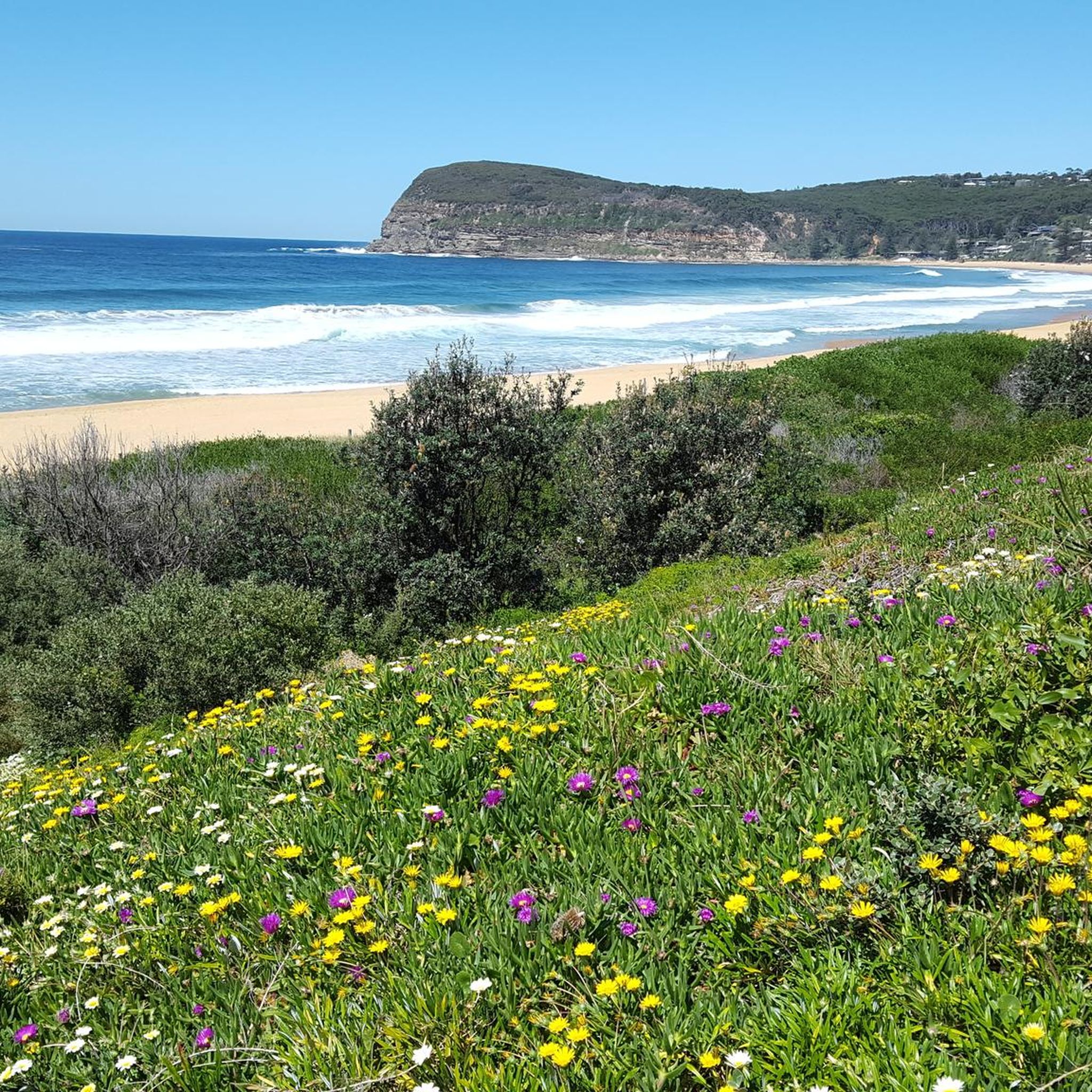
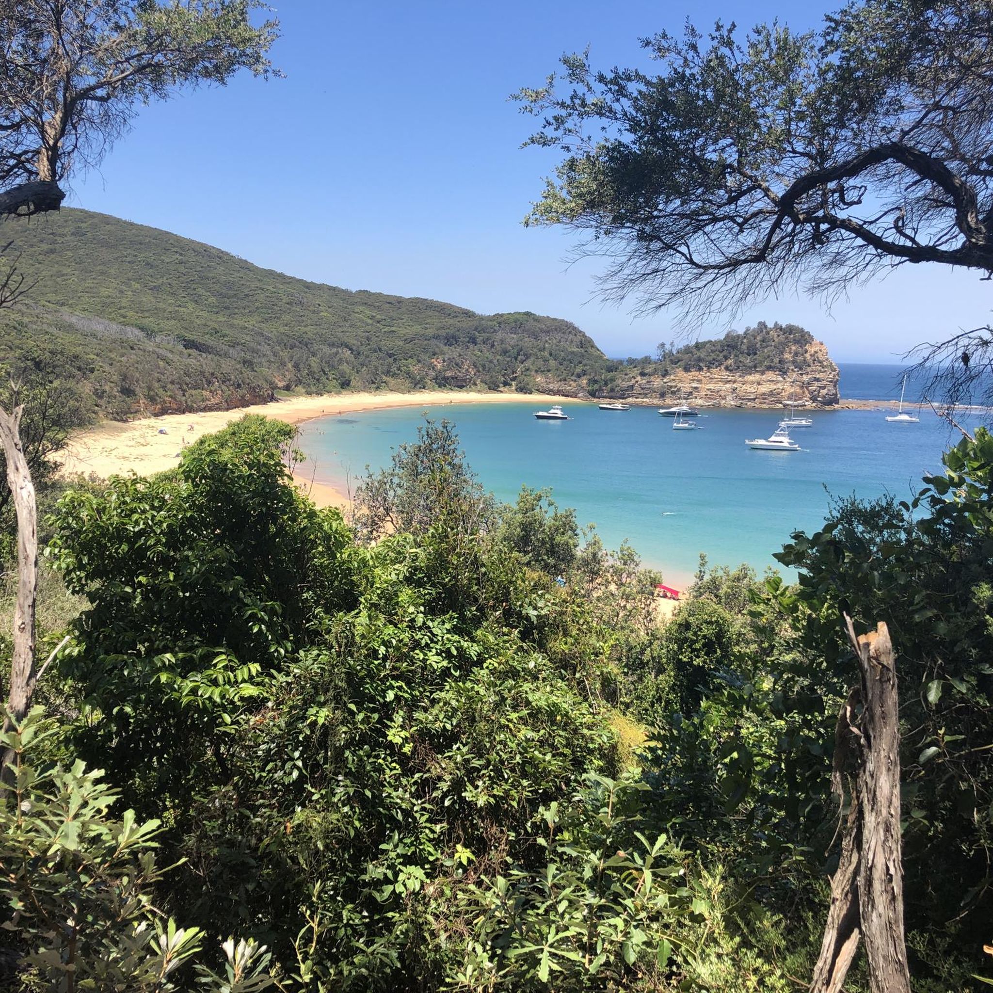
Wyrrabalong National Park runs along the Central Coast near The Entrance and is split into northern and southern sections by the channel that separates them. North Wyrrabalong sits on the traditional Country of the Awabakal people, and the south Wyrrabalong belongs to Darkinjung Country, with plenty of opportunities for bushwalking, swimming, surfing, and fishing across both. Coastal lookouts at either end make it a popular spot for whale watching during migration season, and the spring wildflowers, rainforest, and wetlands in the park’s northern reaches make it a beautiful place to explore.
0
0
Terilbah Reserve sits along Tuggerah Lake, with open grassy areas, benches, a playground, and a fishing platform. It's also home to the Sensory Gardens, planted with native species you can not only see, but touch and smell, so blind and low-vision visitors can enjoy the textures and scents of the Australian bush too. Wheelchair-friendly paths and small bridges wind past seats and weather shelters, making it an easy place to stop and enjoy during a walk or ride along the lake.
0
0
The Entrance Bridge crosses the channel where Tuggerah Lake meets the ocean, connecting The Entrance with The Entrance North. Built in the late 1960s, this concrete bridge replaced a narrow, one-lane timber bridge that was constructed in 1934. It has a separate footpath and cycleway, so you can cross away from the traffic while you enjoy watching the water move through the channel below you.
0
0

Woy Woy Fishermen’s Wharf has a seafood restaurant with panoramic views of Brisbane Water, a fresh seafood market, and a takeaway kiosk famous for classic fish and chips to enjoy on the boardwalk. There are solar-powered smart charging benches and a dedicated fishing zone just outside the Wharf. Free public parking is available directly adjacent to the wharf off The Boulevarde, though these spaces fill up quickly on weekends, so overflow parking can be found a short walk away at the Deepwater Plaza shopping centre or the Woy Woy Commuter Car Park.
0
0
Woy Woy Wharf is a modern waterfront hub, supporting both daily commuting and relaxed, seaside tourism. Woy Woy is affectionately known as “Pelican Town”, so there is a great chance of seeing giant, wild pelicans congregate around the wharf area. You can see more of the area by hopping onto the historic Central Coast Ferry directly from the pier.
1
0

Garnet Adcock Memorial Park marks the western end of the foreshore walk, with wide open lawns and plenty of space to stretch your legs. Named after World War I officer and local entrepreneur Garnet Adcock, the park has long been a hub for community sport and recreation.
0
0
Follow the edge of Brisbane Water, where calm estuary waters, passing ferries and visiting pelicans make this one of Gosford's most relaxing waterfront walks. The broad shared path offers uninterrupted views across the bay.
0
0

This popular shared-use path runs along the shore of Brisbane Waters. It pass through numerous parks and nature reserve as well as by cafés, train stations, and marinas. It is an excellent way to explore the area on foot or by pedal, without having to worry about car traffic.
0
0
Frequently Asked Questions
How many touring cycling routes are available in Kincumba Mountain Reserve and its surrounding areas?
There are over 25 touring cycling routes available in Kincumba Mountain Reserve and the nearby region. These routes cater to various skill levels, with 10 easy, 11 moderate, and 8 difficult options.
What is the best time of year to go touring cycling in Kincumba Mountain Reserve?
The Central Coast region, including Kincumba Mountain Reserve, generally offers pleasant cycling conditions for much of the year. Spring and autumn provide mild temperatures, which are ideal for exploring. During the migration season from July to October, you might even spot humpback whales from elevated coastal viewpoints along some routes.
What are the typical terrain conditions for touring cycling in Kincumba Mountain Reserve?
While Kincumba Mountain Reserve is known for its mountain biking trails, touring cycling routes in the broader area offer a mix of terrain. You can expect mostly paved surfaces on many routes, but some segments may be unpaved or consist of gravel trails. If you have a gravel bike with wider tires, you might find some of the fire trails within the reserve navigable, but be prepared for varied conditions.
Are there any circular touring cycling routes in the area?
Yes, many touring cycling routes in the Kincumba Mountain Reserve area are designed as loops. For example, the View of Brisbane Water – Spike Milligan Bridge loop from Erina High School is a popular circular route, as is the Arte Café – Autumn Foliage in West Gosford loop from Yattalunga.
What do other touring cyclists say about the routes in Kincumba Mountain Reserve?
The touring cycling routes in the Kincumba Mountain Reserve area are highly rated by the komoot community, with an average score of 4.7 stars from over 30 reviews. Cyclists often praise the diverse landscapes, including bushland, coastal views, and routes around lagoons, as well as the variety of options for different ability levels.
Are the touring cycling routes in Kincumba Mountain Reserve suitable for families?
Yes, there are family-friendly touring cycling routes available. The area offers 10 easy routes, such as the Arte Café – Autumn Foliage in West Gosford loop from Yattalunga, which is 12.7 miles (20.5 km) long and suitable for a more relaxed ride.
Is Kincumba Mountain Reserve accessible by public transport for cyclists?
While Kincumba Mountain Reserve itself is primarily accessed by car, some routes in the broader Central Coast region may be reachable via public transport connections. It's advisable to check local bus schedules and routes from nearby towns like Erina or Gosford to see if they align with your chosen starting points for cycling tours.
Where can I park my car when visiting Kincumba Mountain Reserve for cycling?
Kincumba Mountain Reserve has designated parking areas, such as Honeman's Rock Picnic Area, which is a popular spot with scenic views. For routes starting outside the reserve, like the View of Brisbane Water – Spike Milligan Bridge loop from Erina High School, you would typically find parking facilities near the specified starting points in those towns.
Are dogs allowed on the touring cycling routes in Kincumba Mountain Reserve?
Kincumba Mountain Reserve is part of the Central Coast Council's park system. Generally, dogs are permitted in many public reserves but often require to be on a leash. For specific regulations regarding dogs on trails within the reserve, especially for cycling, it's best to consult the official Central Coast Council website or signage at the reserve entrance. You can find more information on the council's bush reserves page: Central Coast Council Bush Reserves.
Are there cafes or places to eat near the touring cycling routes?
Yes, several touring cycling routes pass through or near towns and suburbs where you can find cafes and eateries. For instance, the Arte Café – Autumn Foliage in West Gosford loop from Yattalunga explicitly mentions a cafe in its name, indicating opportunities for refreshments along the way.
What kind of views can I expect on the touring cycling routes?
The touring cycling routes offer diverse and scenic views. You can expect panoramic vistas of the surrounding bushland and coastline, especially from lookouts like Colin Watters Lookout. Many routes also feature views of local waterways such as Brisbane Water, Avoca Lake, and Terrigal Lagoon, providing a mix of natural beauty.
Are there touring cycling routes for beginners in Kincumba Mountain Reserve?
Yes, there are 10 easy touring cycling routes available in the area. An example is the Arte Café – Autumn Foliage in West Gosford loop from Yattalunga, which is an easy 12.7 miles (20.5 km) path, suitable for those new to touring cycling or looking for a relaxed ride.
What are some challenging touring cycling routes in the Kincumba Mountain Reserve area?
For experienced touring cyclists seeking a challenge, there are 8 difficult routes available. The Avoca Lagoon loop from Erina is a difficult 30.9 miles (49.7 km) trail with significant elevation gain, making it a demanding option for those looking for a strenuous ride.
Can I find routes with significant elevation gain?
Yes, some routes in the area feature significant elevation changes. For example, the Avoca Lagoon loop from Erina has an elevation gain of over 730 meters, offering a challenging workout for cyclists.
Most popular routes in Kincumba Mountain Reserve

Get inspired with the komoot mobile app


Explore more
Browse the best Cycling routes in other regions.
