The best MTB trails in Brindabella National Park
5.0
(4)
164
riders
4
rides
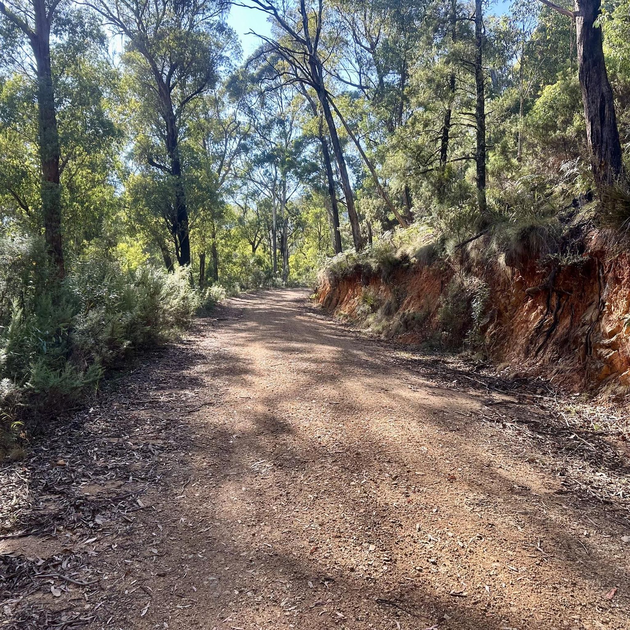
Mountain biking in Brindabella National Park offers a remote alpine bush environment with challenging trails. The region is characterized by mountainous terrain, covered with red stringybark and scribbly gums, and features extensive networks of 4WD trails suitable for mountain biking. Riders can traverse ridgelines that provide views of the Brindabella Range and across the Australian Alps. The park's landscape includes forested areas and diverse natural features, making it a destination for experienced mountain bikers.
Best mountain bike trails in Brindabella…
Last updated: July 4, 2026
3
riders
46.7km
04:05
1,000m
1,000m
Hard mountain bike ride. Very good fitness required. Suitable for all skill levels.
5
riders
42.2km
03:56
860m
860m
Moderate mountain bike ride. Good fitness required. Suitable for all skill levels.

Sign up for free
5.0
(2)
62
riders
13.2km
01:09
190m
190m
Hard mountain bike ride. Great for any fitness level. Advanced riding skills necessary. Some portions of the route may require you to push your bike.
5.0
(2)
89
riders
Hard mountain bike ride. Great for any fitness level. Advanced riding skills necessary. Some portions of the route may require you to push your bike.
5
riders
23.7km
02:13
440m
440m
Moderate mountain bike ride. Good fitness required. Suitable for all skill levels.
Our route recommendations are based on thousands of hikes, rides, and runs completed by other people on komoot.
Start today with a free account
Your next adventure awaits.
Login or Signup
Popular around Brindabella National Park

Tips from the Community

There’s a map of the trails at this entry to Cotter Pines.
1
0
Great views from this lower section of trail and a picnic bench.
1
0
Canberra views and a picnic bench on this lower spot along the trails.
0
0
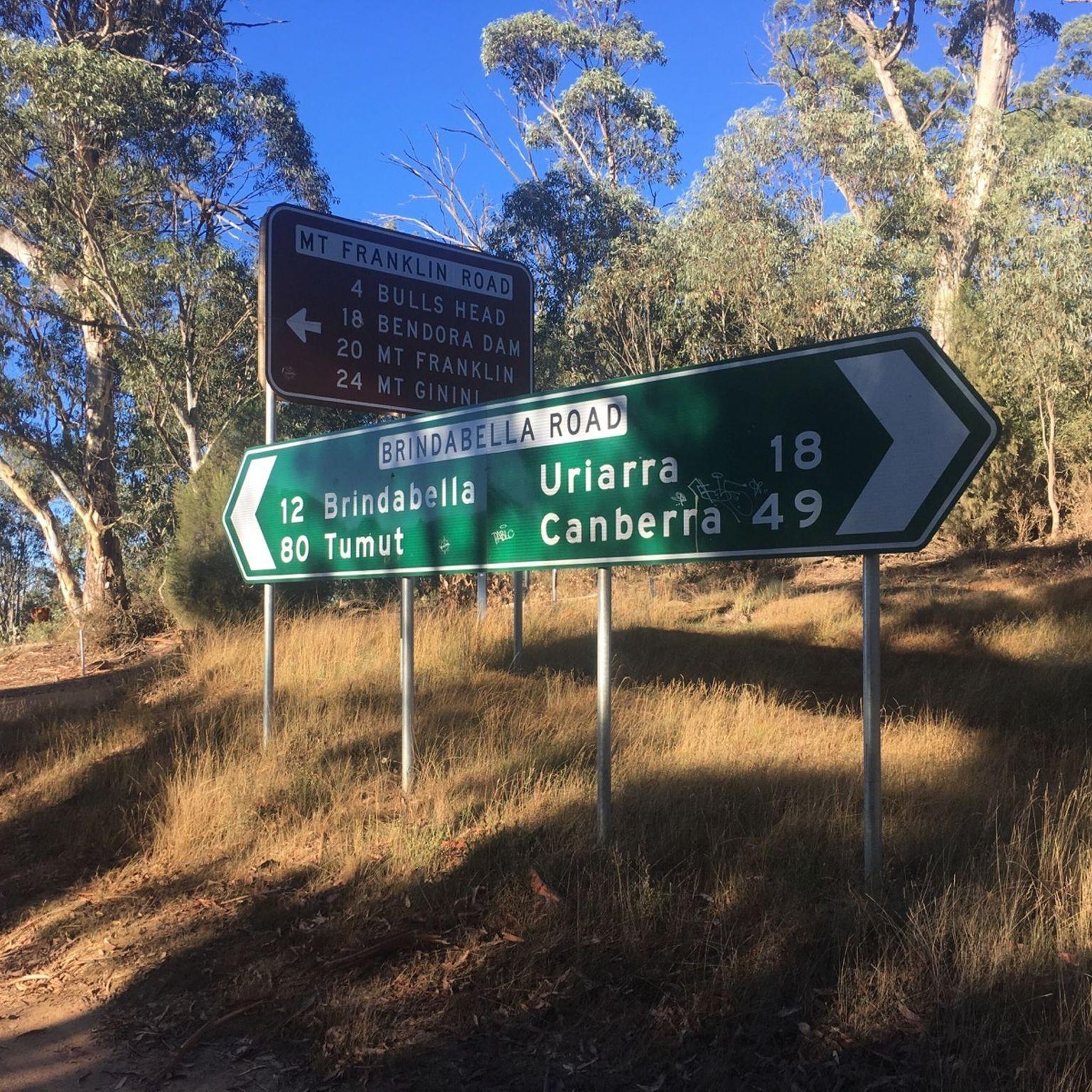
One of the entries to Cotter Pines, from Brindabella Road. This entry has a trail map.
0
0
Great riverside campground, with hot showers. You’ll need to book your spot through the act parks website.
0
0

Great road ride from Canberra. If you want to climb further, ride your gravel bike and make your way to Picadilly Circus to enjoy a fantastic view.
0
0

Frequently Asked Questions
How many mountain bike trails are available in Brindabella National Park?
Brindabella National Park offers a selection of 5 mountain bike trails, ranging from moderate to difficult, providing a remote alpine bush environment for riders.
What kind of terrain and difficulty can I expect on mountain bike trails in Brindabella National Park?
The trails in Brindabella National Park are characterized by remote alpine bush and mountainous terrain, often utilizing extensive networks of challenging 4WD tracks. You can expect significant elevation changes and varied surfaces. The majority of routes are rated as difficult, with one moderate option available.
Are there any beginner-friendly mountain bike trails in Brindabella National Park?
While most trails in Brindabella National Park are rated difficult, there is one moderate route, the Mountainbike loop from District of Coree. This 26.3-mile (42.3 km) path navigates through forested ridgelines and offers a less strenuous option compared to the park's more challenging trails. However, the park is generally considered suitable for intermediate to advanced riders.
Are there options for advanced mountain bikers in Brindabella National Park?
Yes, Brindabella National Park is well-suited for advanced mountain bikers, with 4 out of 5 routes rated as difficult. Trails like the Bulls Head Picnic Area loop from Uriarra Hill offer significant elevation gain and challenging terrain, providing a demanding experience for experienced riders.
What are the parking options for mountain biking in Brindabella National Park?
Parking is generally available at various access points to the park's trails. For example, routes often start from areas like Uriarra Hill, Uriarra Village, or Stony Creek Nature Reserve, where you can typically find space to park your vehicle before heading out on the trails.
Is public transport available to Brindabella National Park for mountain bikers?
Brindabella National Park is a remote alpine area, and direct public transport options are very limited or non-existent. Access is primarily by private vehicle, often via 4WD tracks, especially for reaching trailheads deep within the park.
Are there any permits required for mountain biking in Brindabella National Park?
While general entry to Brindabella National Park does not typically require a permit, it's always advisable to check the official NSW National Parks and Wildlife Service website for any current alerts, closures, or specific permit requirements, especially for certain activities or remote areas. You can find more information at nationalparks.nsw.gov.au.
What should I bring for a mountain biking trip in Brindabella National Park?
Given the remote and challenging nature of the park, it's crucial to be self-sufficient. Essential items include plenty of water, food, a first-aid kit, navigation tools (like a GPS device or komoot app with offline maps), appropriate clothing for varying weather conditions, bike repair tools, and emergency communication devices. Always inform someone of your plans before heading out.
What natural features and viewpoints can I expect to see while mountain biking in Brindabella National Park?
The park offers spectacular views of the Brindabella Range and, on clear days, panoramic vistas extending to Canberra and across the Australian Alps. Trails often traverse forested ridgelines, and specific routes like the View of Canberra – Eagle Rock Lookout loop from Uriarra Village lead directly to scenic viewpoints such as Eagle Rock Lookout.
Are there any circular mountain bike routes in Brindabella National Park?
Yes, several mountain bike routes in Brindabella National Park are designed as loops. Examples include the Bulls Head Picnic Area loop from Uriarra Hill, the Mountainbike loop from District of Coree, and the View of Canberra – Eagle Rock Lookout loop from Stony Creek Nature Reserve, providing convenient starting and ending points.
What do other mountain bikers enjoy the most about mountain biking in Brindabella National Park?
The area is highly rated by the komoot community, with an average score of 5.0 stars from over 6 reviews. Riders often praise the remote alpine bush environment, the challenging nature of the trails, and the stunning views of the Brindabella Range and Australian Alps.
Is Brindabella National Park suitable for family mountain biking?
Brindabella National Park's mountain bike trails are generally considered challenging, with most routes rated difficult and featuring significant elevation changes. While there is one moderate route, the remote and rugged nature of the park means it is typically more suited for experienced riders rather than casual family outings with young children.
Can I bring my dog mountain biking in Brindabella National Park?
No, dogs are generally not permitted on trails within Brindabella National Park, as it is a protected area for wildlife. National Parks in NSW have strict rules regarding pets to protect native flora and fauna. Always check the official park regulations before visiting.
What is the best time of year for mountain biking in Brindabella National Park?
The best time for mountain biking in Brindabella National Park is typically during the warmer, drier months, from late spring through autumn (October to April). Winter can bring snow and ice, making many trails impassable or extremely challenging. Always check weather conditions and park alerts before planning your trip, as the alpine environment can experience rapid changes.
Most popular routes in Brindabella National Park

Get inspired with the komoot mobile app


Explore more
Browse the best MTB trails in other regions.
