The best road cycling routes in Urambi Hills Nature Reserve
4.4
(41)
1,629
riders
67
rides
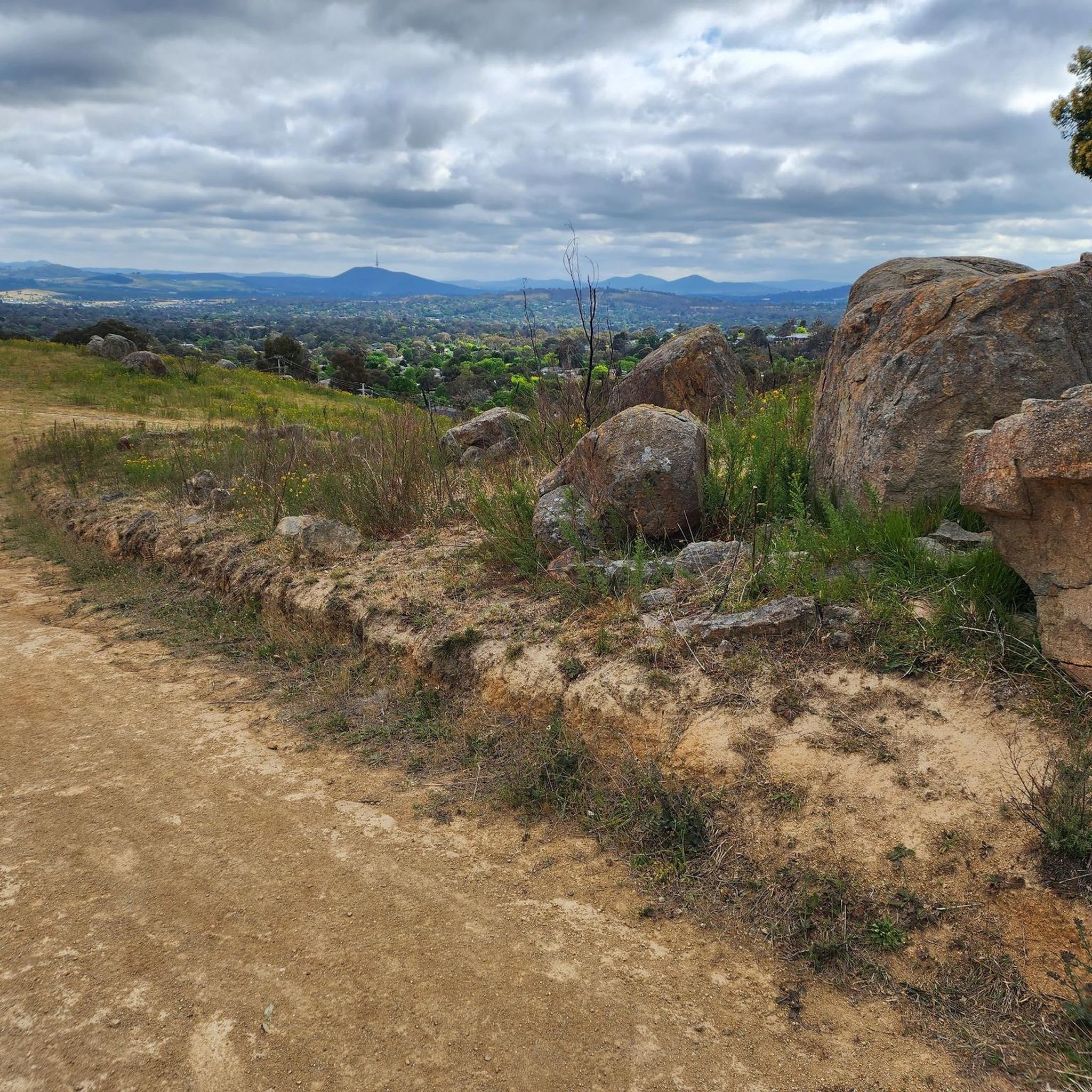
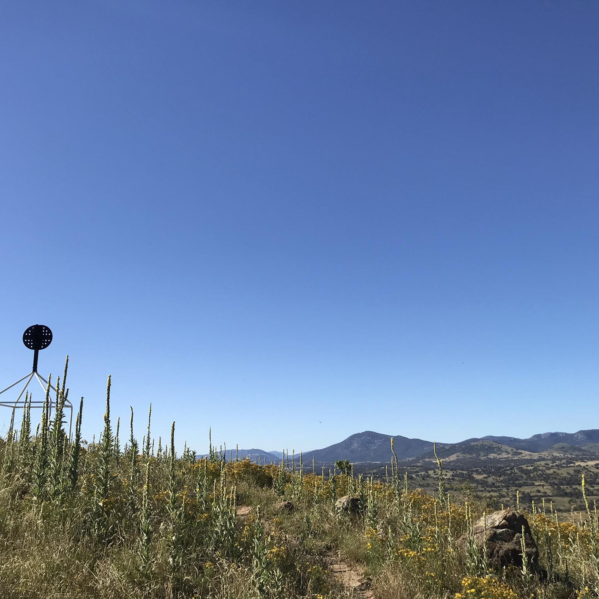
Road cycling routes in Urambi Hills Nature Reserve traverse a protected area characterized by rolling green hills and expansive grassy woodlands. The reserve features well-maintained management trails and sections of the Centenary Trail, providing dedicated paths for cyclists. From ridgetops, panoramic views extend across the Tuggeranong Town Centre, Lake Tuggeranong, and the distant Brindabella Mountain ranges. The terrain offers a mix of mostly paved surfaces suitable for various skill levels, with routes ranging from gentle loops to more challenging climbs.
…Last updated: July 5, 2026
14
riders
67.0km
03:31
870m
870m
Moderate road ride. Good fitness required. Some segments of this route may be unpaved and difficult to ride.
13
riders
58.7km
02:32
410m
410m
Moderate road ride. Good fitness required. Mostly well-paved surfaces and easy to ride.

Sign up for free
10
riders
Moderate road ride. Good fitness required. Mostly well-paved surfaces and easy to ride.
90
riders
104km
04:34
760m
760m
Moderate road ride. Good fitness required. Mostly well-paved surfaces and easy to ride.
5.0
(2)
59
riders
36.8km
01:36
270m
270m
Easy road ride. Great for any fitness level. Mostly well-paved surfaces and easy to ride.
Get access to more routes and recommendations from other explorers.
Sign up for free
Already have an account?
Our route recommendations are based on thousands of hikes, rides, and runs completed by other people on komoot.
Start today with a free account
Your next adventure awaits.
Login or Signup



Tips from the Community

Mount Ainslie Nature Reserve covers 637 hectares of native bushland on Canberra's northeast edge, adjacent to Mount Majura Nature Reserve. There is a network of shared trails that wind through eucalypt forest, leading to beautiful views of Lake Burley Griffin and the city from the summit. Aside from the popular trails, the reserve also protects critically endangered grassy woodlands and diverse habitats that support threatened birds, rare plants, and native wildlife.
0
0

The Captain James Cook Memorial commemorates Captain James Cook's first sighting of the East Coast of Australia. Aside from the globe sculpture, the giant water jet is part of the memorial. This jet shoots about six tons of water 152 metres at random times.
1
0
On the north shore of Kings Park sits the Australian Merchant Navy Memorial, honouring the Australian Merchant Navy's deployment in World War I and World War II. The monument was created by Daryl Jackson Alastair Swayn.
0
0
Scrivener Dam is a concrete gravity dam on the Molonglo River, completed in 1963, and is responsible for creating Lake Burley Griffin as a recreational and ornamental body of water. Named after surveyor Charles Scrivener, the dam is about 33 metres high and 319 metres long, with hydraulically operated fish‑belly flap gates that precisely control the lake levels and provide flood management capability. The dam also carries a roadway and the walking/cycling path, and helps form the backdrop to one of Canberra’s key engineering landmarks.
0
0
The Commonwealth Bridge is the major road crossing over Lake Burley Griffin, carrying six lanes of traffic plus a shared foot and cycle path between Canberra’s city centre and the Parliamentary Zone. It is an integral element of the lake’s heritage landscape, with beautiful views across the Molonglo River. The river runs roughly 115 kilometres from the Great Dividing Range through New South Wales into the Australian Capital Territory, where the Scrivener Dam impounds its waters to form Lake Burley Griffin. Historically rich in native fish and culturally important to local Aboriginal peoples, the river continues beyond Canberra to join the Murrumbidgee River as part of the larger Murray–Darling basin.
0
0
In 1964, the Molonglo River was dammed, creating this wetland. Today, these 260 hectares of land, forest, and waterways are protected. Within this park are the Kells Swamp Loop, Woodland Walk, and Billabong Walk. Keep your eyes peeled for platypuses, rakali, and micro-bats, and from the bird blind, you may see a few of the 200 bird species that visit this wetland every year.
0
0
Lake Tuggeranong is a beautiful artificial lake in Canberra’s Tuggeranong district, created in the 1980s as part of the suburb’s town centre development. There is a shared walking and cycling path that circles the lake, passing parks, wetlands, and recreation areas along the shoreline. The lake is a popular local spot ideal for walking, cycling, kayaking, and birdwatching.
0
0
Tuggeranong Town Park Beach is a small sandy lakeside area within Tuggeranong Town Park on the northern shore of Lake Tuggeranong. The beach sits along open lawns and playgrounds, making it a popular place for families to relax by the water. Nearby facilities include picnic tables, barbecues, public toilets, playgrounds, and plenty of walking paths around the lake.
0
0
Frequently Asked Questions
How many road cycling routes are available in Urambi Hills Nature Reserve?
Urambi Hills Nature Reserve offers over 70 road cycling routes, catering to a wide range of preferences and fitness levels. You'll find everything from easy loops to more challenging rides with significant elevation gain.
What kind of terrain and landscapes can I expect while road cycling in Urambi Hills Nature Reserve?
The reserve is characterized by rolling green hills and expansive grassy woodlands, primarily featuring critically endangered Yellow Box–Blakely's Red Gum Grassy Woodland. While many routes have mostly paved surfaces, you'll also encounter varied terrain, including ridgetops that offer spectacular 360-degree views of the Tuggeranong Town Centre, Lake Tuggeranong, and the distant Brindabella Mountain ranges.
Are there road cycling routes suitable for beginners or families in Urambi Hills Nature Reserve?
Yes, there are numerous options for less experienced riders and families. About half of the routes are rated as easy, providing gentle loops with minimal elevation. For example, the Mimi's Pit Stop – Lake Tuggeranong loop from Southern Cross Stadium is an easy 7.9 km trail that takes about 20 minutes to complete.
What are the most challenging road cycling routes in the reserve?
For experienced cyclists seeking a challenge, routes like the Scrivener Dam – Canberra National Arboretum loop from Kambah offer significant elevation gain over its 75.3 km distance. This route is rated as difficult and requires very good fitness.
Can I bring my dog on the road cycling trails in Urambi Hills Nature Reserve?
Yes, dogs are permitted on-leash on tracks and trails within Urambi Hills Nature Reserve. However, please be mindful of other users and wildlife, and always ensure your dog is under control.
Are there any notable viewpoints or landmarks along the road cycling routes?
Absolutely. Many routes offer invigorating and spectacular 360-degree views from the ridgetops. You can see the Tuggeranong Town Centre, Lake Tuggeranong, the Murrumbidgee River, the Bullen Range, and even the distant Brindabella Mountain ranges and Mount Tennant. The reserve also contains three listed Aboriginal heritage sites, adding cultural significance to your ride.
Are there loop trails available for road cycling in Urambi Hills Nature Reserve?
Yes, many of the road cycling routes in the reserve are designed as loops, allowing you to start and finish at the same point. This includes popular options like the Scrivener Dam – BentSpoke Brewing Co. loop from Viking Park, which offers a balanced ride with moderate climbs.
Where can I park when visiting Urambi Hills Nature Reserve for cycling?
While specific parking areas for cyclists are not detailed in the route descriptions, Urambi Hills Nature Reserve is accessible from various points on the southern edge of Kambah. Look for designated parking areas near trailheads or access points to the Centenary Trail or management trails.
What do other cyclists enjoy most about road cycling in Urambi Hills Nature Reserve?
The area is highly rated by the komoot community, with an average score of 4.3 stars from over 30 reviews. Cyclists often praise the diverse landscapes, the panoramic views from ridgetops, and the well-maintained trails that cater to various skill levels. The tranquil setting of rolling green hills and grassy woodlands is also frequently highlighted.
What is the best time of year to go road cycling in Urambi Hills Nature Reserve?
The reserve is suitable for cycling year-round, but spring and autumn generally offer the most pleasant conditions with milder temperatures and vibrant natural scenery. Summer can be hot, so early morning or late afternoon rides are recommended, while winter rides might require warmer gear.
Are there any cafes or places to eat near the road cycling routes?
While Urambi Hills Nature Reserve itself is a protected area without commercial facilities, it is located on the southern edge of Kambah, which is part of the broader Canberra region. You can find cafes and eateries in nearby suburbs like Kambah or Tuggeranong Town Centre, which are easily accessible from many of the cycling routes.
What unique natural features can I observe while cycling in the reserve?
Beyond the scenic rolling hills and woodlands, Urambi Hills Nature Reserve protects rocky areas that are home to the vulnerable Pink-tailed Worm-lizard. It also provides habitat for threatened and declining woodland bird species, making it a great spot for nature observation and birdwatching during your ride.
Most popular routes in Urambi Hills Nature Reserve

Get inspired with the komoot mobile app


Explore more
Browse the best Road cycling routes in other regions.
