The best running trails in Namadgi National Park
5.0
(1)
220
runners
10
runs
Jogging in Namadgi National Park offers access to a diverse landscape at the northern tip of the Australian Alps, just southwest of Canberra. The region is characterized by extensive mountain bushland, including high-altitude sphagnum bogs, open grasslands, and varied woodlands. Joggers can experience environments ranging from steep slopes and open plateaus to sheltered fern gullies and significant rock formations like Booroomba Rocks and Square Rock.
Best jogging routes in Namadgi National Park
- The most popular jogging route is Point Hut…
Last updated: July 9, 2026
12
runners
20.4km
02:57
960m
960m
Hard run. Very good fitness required. Mostly paved surfaces. Suitable for all skill levels.
18
runners
20.4km
03:14
1,060m
1,060m
Hard run. Very good fitness required. Sure-footedness, sturdy shoes and alpine experience required.

Sign up for free
12
runners
21.9km
03:03
1,120m
1,120m
Hard run. Very good fitness required. Mostly paved surfaces. Suitable for all skill levels.
15
runners
15.6km
02:15
680m
680m
Hard run. Very good fitness required. Sure-footedness, sturdy shoes and alpine experience required.
5.0
(1)
20
runners
25.1km
03:11
570m
570m
Hard run. Very good fitness required. Mostly paved surfaces. Suitable for all skill levels.
Get access to more routes and recommendations from other explorers.
Sign up for free
Already have an account?
Our route recommendations are based on thousands of hikes, rides, and runs completed by other people on komoot.
Start today with a free account
Your next adventure awaits.
Login or Signup

Tips from the Community

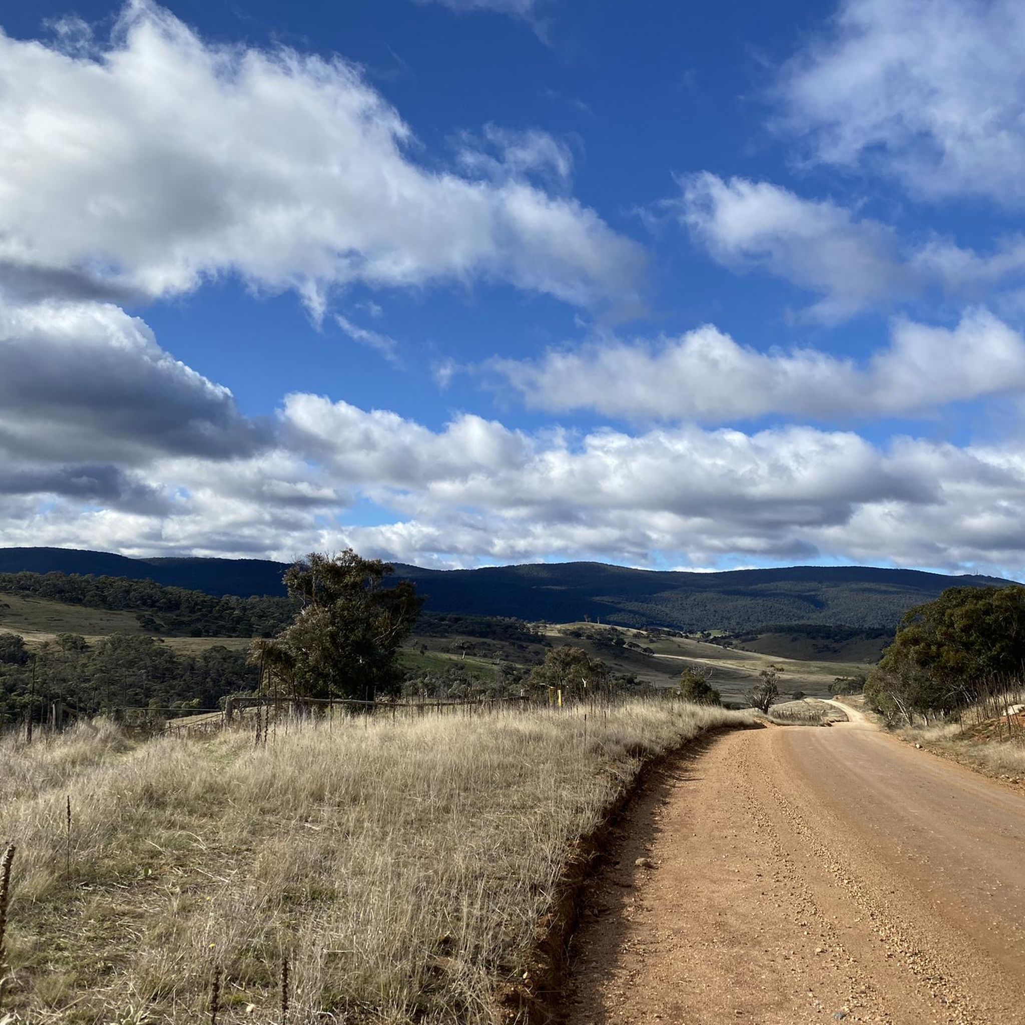
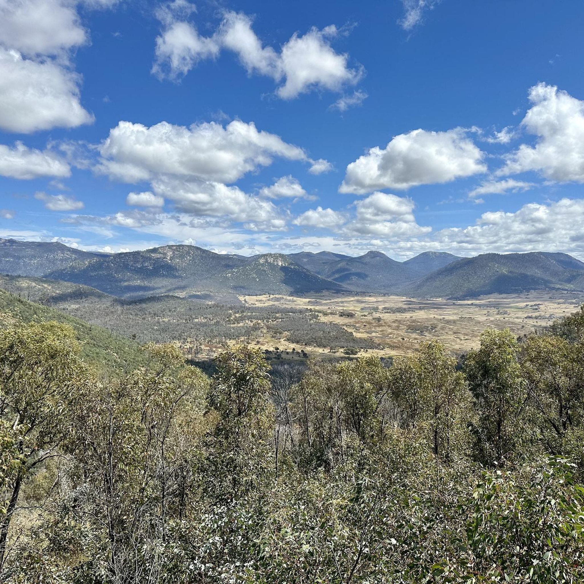
The summit of Mount Tennent rises to about 1,375 metres, making it one of the most prominent peaks visible from southern Canberra. From the top, there are beautiful views across Namadgi National Park, including the Gudgenby Valley and distant peaks of the Australian Alps.
0
0
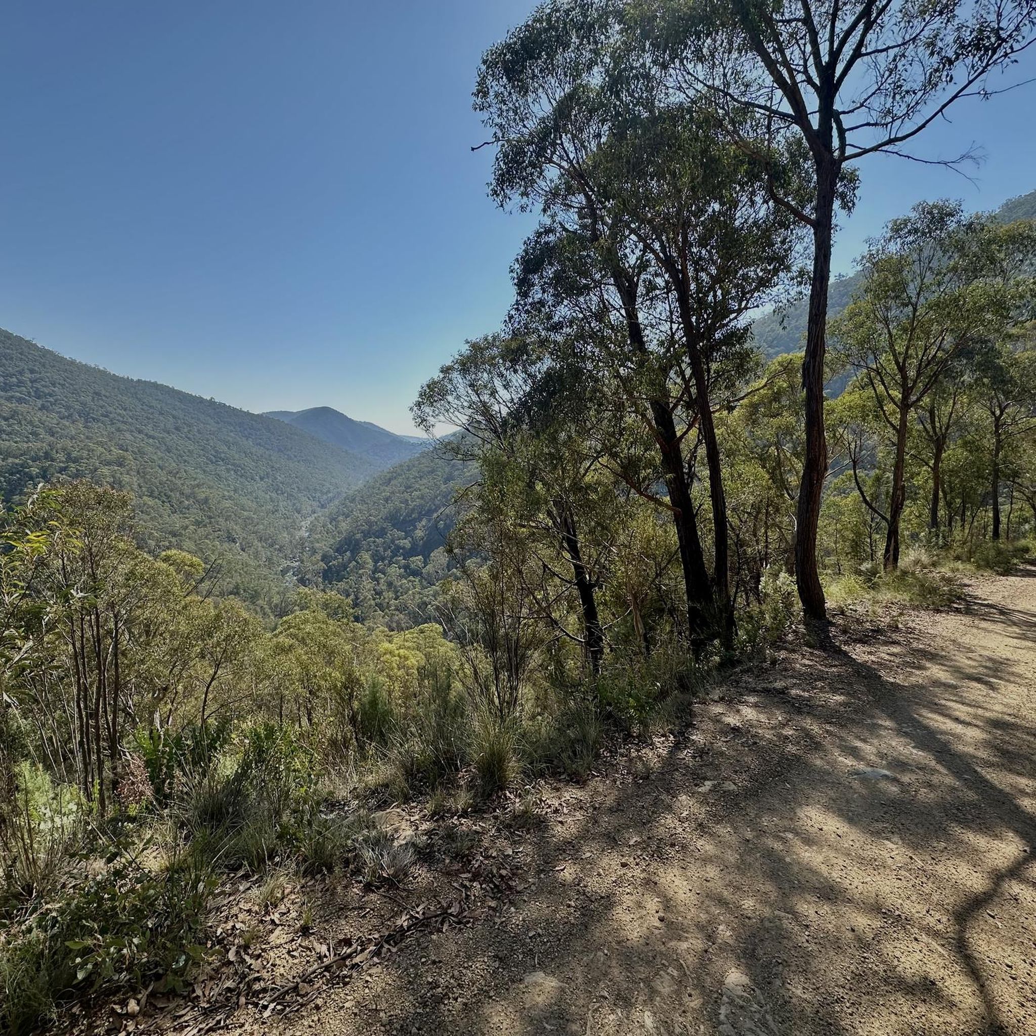
Cypress Pine Lookout is one of the main viewpoints along the Mount Tennent Track, roughly halfway up the mountain. The lookout sits near stands of native cypress pine and opens up to wide views across the Gudgenby Valley toward the surrounding ranges of Namadgi National Park. It’s an ideal place for a scenic break before continuing the climb toward the summit.
0
0
Mount Tennent Track is a relatively challenging route that climbs steadily to the summit. The well-formed path passes through dry forest and rocky slopes, gaining significant elevation as it winds up the mountain’s ridgeline. Along the way, there are several viewpoints with expansive views across the Gudgenby Valley and surrounding ranges.
0
0

Relatively new trail cut to the summit that's a lot less boggier and easier on your feet.
0
0
Frequently Asked Questions
How many running routes are available in Namadgi National Park?
Namadgi National Park offers a diverse network of over 10 running routes, catering to various fitness levels. The komoot community has explored 12 different tours in the park, ranging from moderate to difficult.
What makes running in Namadgi National Park a unique experience?
Running in Namadgi National Park provides access to the northern tip of the Australian Alps, featuring extensive mountain bushland, high-altitude sphagnum bogs, open grasslands, and varied woodlands. You'll encounter diverse environments from steep slopes and open plateaus to sheltered fern gullies and significant rock formations like Booroomba Rocks and Square Rock.
What do other runners appreciate most about the trails in Namadgi National Park?
The running routes in Namadgi National Park are highly rated by the komoot community, with an average score of 5.0 stars. Runners often praise the challenging climbs, expansive views, and the opportunity to experience a remote wilderness just a short drive from Canberra.
Are there any easy or beginner-friendly jogging routes in Namadgi National Park?
While many trails in Namadgi National Park are considered moderate to difficult, there are options for less strenuous runs. For example, the Point Hut Pond loop from Banks is a moderate 3.7-mile (6.0 km) route that offers a relatively flat path, suitable for a more relaxed jog.
Can I find challenging running trails in Namadgi National Park?
Absolutely. Namadgi National Park is known for its challenging routes, with 7 out of 12 tours rated as difficult. Trails like the Mount Tennent – Cypress Pine Lookout loop from Tharwa offer significant elevation gain and are a favorite among experienced trail runners.
Are there circular running routes in Namadgi National Park?
Yes, many of the popular running routes in Namadgi National Park are circular, allowing you to experience varied scenery without retracing your steps. Examples include the Pryors Hut loop from District of Cotter River and the Mount Tennent – Cypress Pine Lookout loop from Tharwa.
Are there any specific viewpoints or landmarks along the running trails?
Many trails offer spectacular views. The Mount Tennent – Cypress Pine Lookout loop leads to the Cypress Pine Lookout and the Mount Tennent summit, providing expansive vistas. Other notable formations like Square Rock also offer extensive views across the park.
Are there historical sites or cultural attractions I can explore near the running routes?
Namadgi National Park is rich in history. You can find several historic huts, such as Brayshaw's Hut and Brandy Flat Hut, which tell the story of early settlers. The park also contains the significant Yankee Hat Rock Art Site, showcasing Aboriginal heritage.
Is Namadgi National Park suitable for family-friendly jogging?
While some trails are challenging, the park does offer options suitable for families. The Yerrabi Walking Track, for instance, is an easier, well-marked trail that provides varied landscapes and views, making it a good choice for families looking to jog together.
Are dogs allowed on the running trails in Namadgi National Park?
As a national park, Namadgi National Park generally has restrictions on pets to protect native wildlife. Dogs are typically not permitted on trails within the park. It's always best to check the official park regulations before planning your visit.
What is the best time of year to go running in Namadgi National Park?
Namadgi National Park offers unique experiences year-round. Spring and summer bring blooming alpine wildflowers and milder temperatures, ideal for exploring. Autumn provides beautiful foliage, while winter can offer a challenging, snow-dusted landscape at higher elevations, though specific gear and caution are advised.
Where can I find parking for the running trails in Namadgi National Park?
The Namadgi Visitor Centre serves as a primary gateway to the park and is a common starting point for many trails, offering parking facilities. Specific trailheads throughout the park also have designated parking areas, which are usually indicated on park maps.
How accessible is Namadgi National Park from Canberra?
Namadgi National Park is remarkably accessible, located just 40 minutes southwest of Canberra. This close proximity allows for a remote wilderness experience without a long journey, making it convenient for day trips or longer visits from the city.
Most popular routes in Namadgi National Park
Most popular attractions in Namadgi National Park

Get inspired with the komoot mobile app


Explore more
Browse the best Running Trails & Routes in other regions.
