The best road cycling routes in Wanniassa Hills Nature Reserve
4.3
(72)
2,777
riders
87
rides
Road cycling in Wanniassa Hills Nature Reserve offers diverse landscapes and accessible routes within north-eastern Tuggeranong, adjacent to Canberra. The reserve is characterized by rolling hills, open forest, and woodland areas, providing varied terrain for cyclists. Portions of its management trails and the Centenary Trail are suitable for road bikes, including some bitumen surfaces. Mount Wanniassa, at 809 meters above sea level, provides ridgetop views of southern Canberra and the Brindabella Mountains.
Best road cycling routes in Wanniassa Hills Nature…
Last updated: July 5, 2026
5.0
(3)
23
riders
21.4km
00:55
130m
130m
Easy road ride. Great for any fitness level. Mostly well-paved surfaces and easy to ride.
23
riders
31.9km
01:27
280m
280m
Easy road ride. Great for any fitness level. Mostly well-paved surfaces and easy to ride.

Sign up for free
16
riders
44.1km
02:30
470m
470m
Moderate road ride. Good fitness required. Some segments of this route may be unpaved and difficult to ride.
6
riders
86.3km
03:50
650m
650m
Moderate road ride. Good fitness required. Mostly well-paved surfaces and easy to ride.
8
riders
31.6km
01:32
280m
280m
Moderate road ride. Great for any fitness level. Some segments of this route may be unpaved and difficult to ride.
Get access to more routes and recommendations from other explorers.
Sign up for free
Already have an account?
Our route recommendations are based on thousands of hikes, rides, and runs completed by other people on komoot.
Start today with a free account
Your next adventure awaits.
Login or Signup
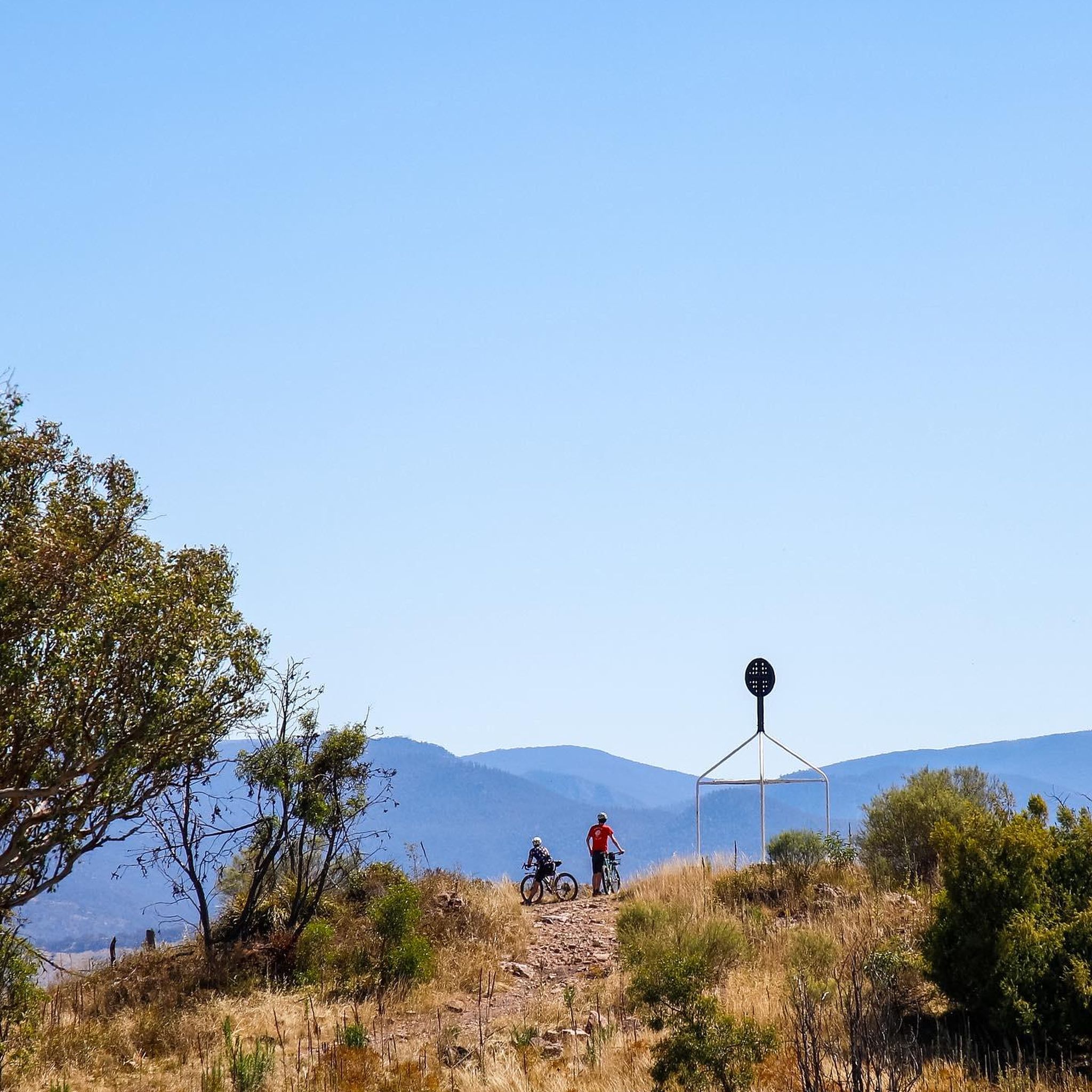
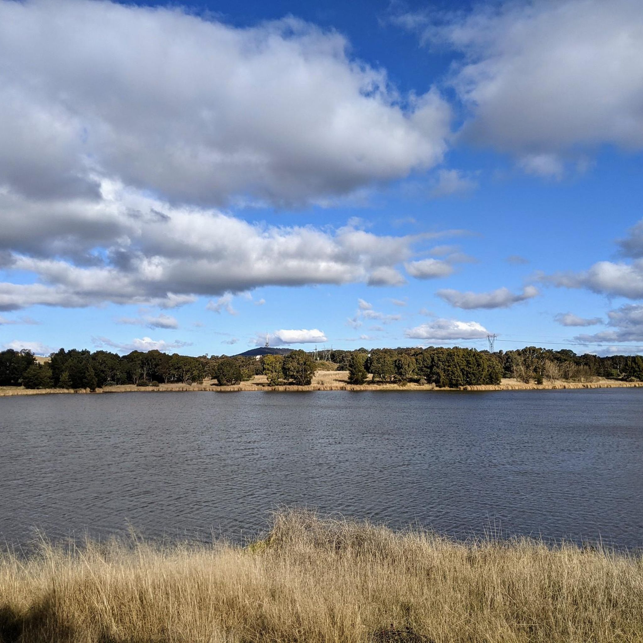
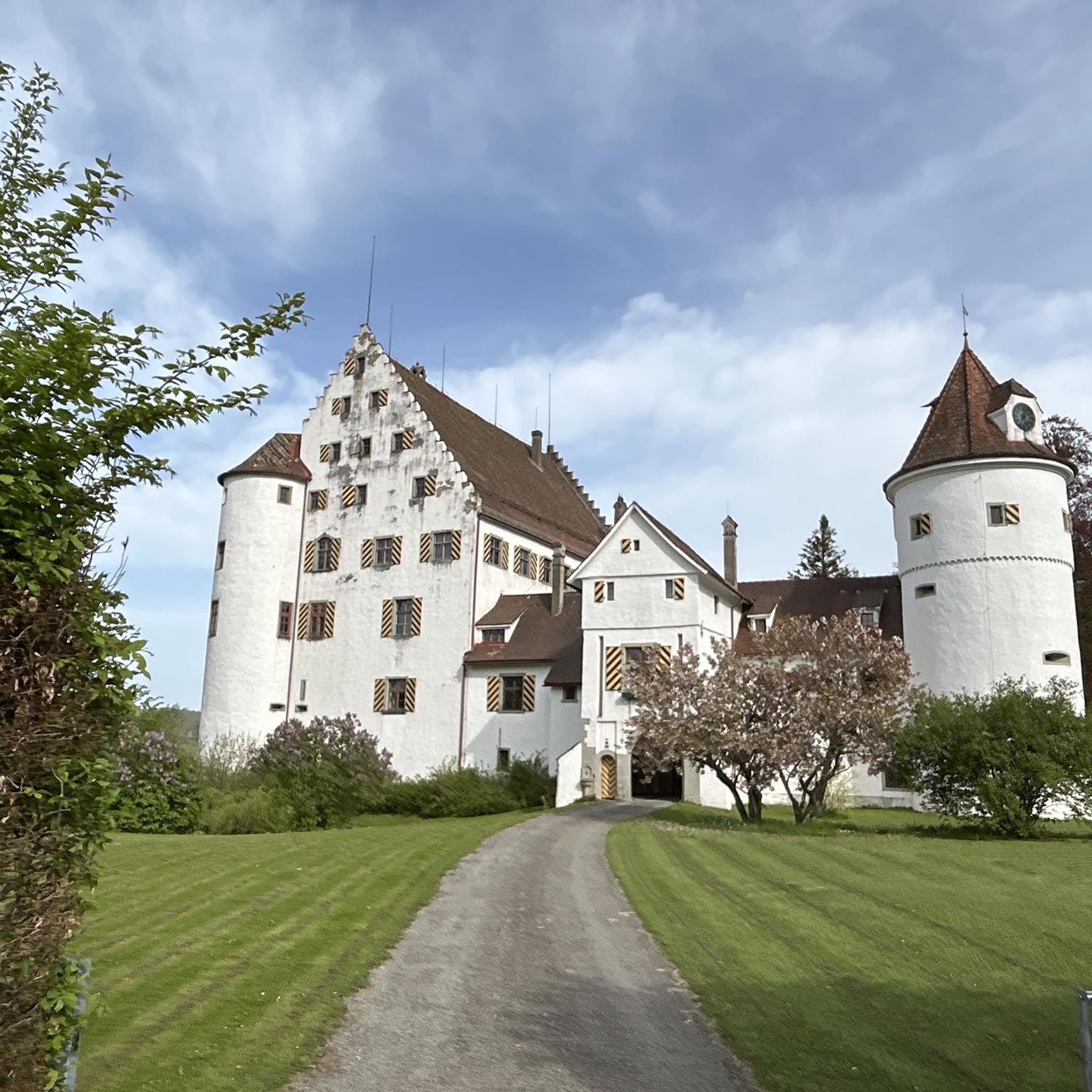
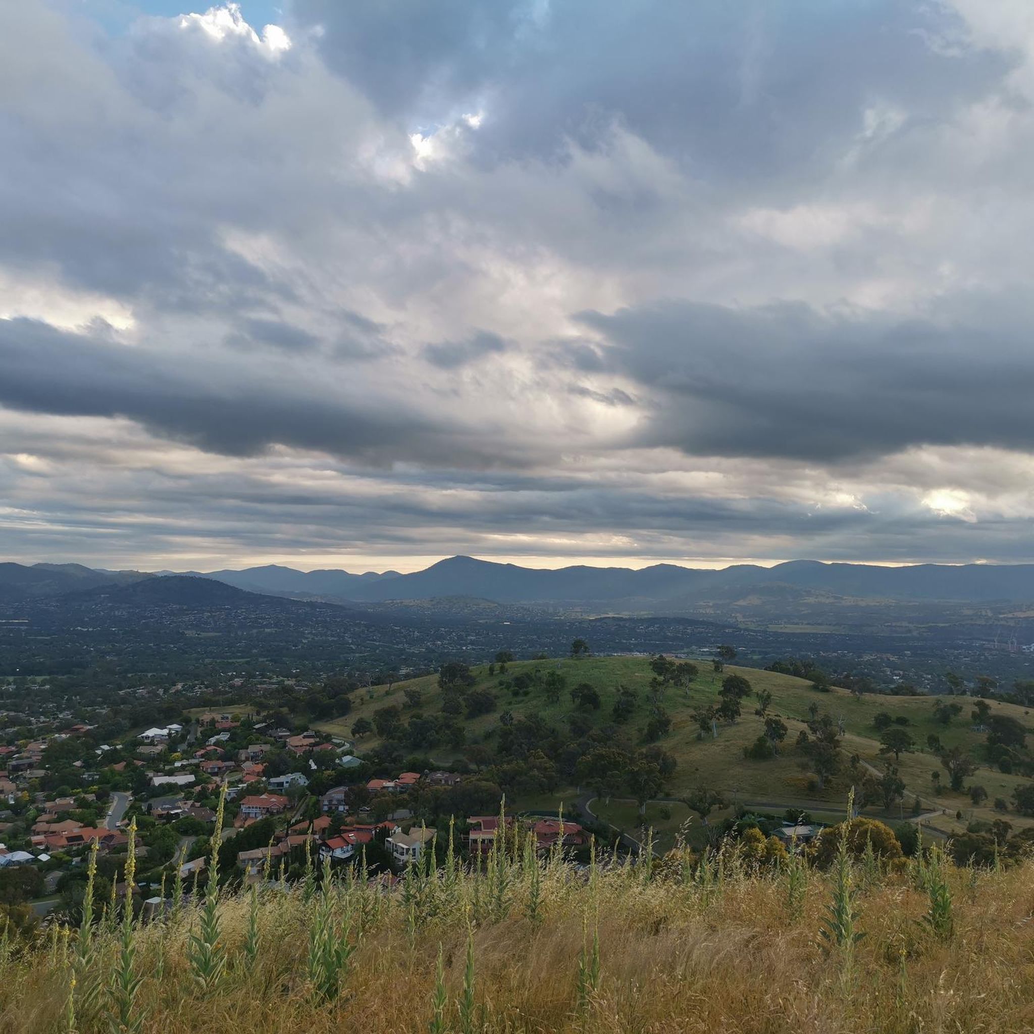
Tips from the Community

Scrivener Dam is a concrete gravity dam on the Molonglo River, completed in 1963, and is responsible for creating Lake Burley Griffin as a recreational and ornamental body of water. Named after surveyor Charles Scrivener, the dam is about 33 metres high and 319 metres long, with hydraulically operated fish‑belly flap gates that precisely control the lake levels and provide flood management capability. The dam also carries a roadway and the walking/cycling path, and helps form the backdrop to one of Canberra’s key engineering landmarks.
0
0
Emu Bank Bridge is a dedicated pedestrian and cycling bridge that crosses Lake Ginninderra, connecting the Belconnen Town Centre waterfront with parkland and walking paths on the opposite shore. As part of the lake’s shared path network, there are fantastic panoramic views across the water toward the surrounding suburbs and skyline of Belconnen.
0
0
Lake Ginninderra is a beautiful artificial lake, created in 1974 by damming Ginninderra Creek. There are several parklands, walking and cycling paths, and popular recreation areas near the Belconnen Town Centre and the University of Canberra that surround the lake. Its open shoreline and wetlands attract a variety of waterbirds, making it a well-known spot for walking, picnicking, and enjoying the lakeside views.
0
0

In 1964, the Molonglo River was dammed, creating this wetland. Today, these 260 hectares of land, forest, and waterways are protected. Within this park are the Kells Swamp Loop, Woodland Walk, and Billabong Walk. Keep your eyes peeled for platypuses, rakali, and micro-bats, and from the bird blind, you may see a few of the 200 bird species that visit this wetland every year.
0
0
Ngadyung Beach is a small, sandy, quiet lakeside area nestled along Lake Tuggeranong. The beach sits along open grass and the shared path that forms part of the Lake Tuggeranong Circuit. It's a peaceful place to stop along the lake for views across the water and a short break during a walk or cycle.
0
0
Lake Tuggeranong is a beautiful artificial lake in Canberra’s Tuggeranong district, created in the 1980s as part of the suburb’s town centre development. There is a shared walking and cycling path that circles the lake, passing parks, wetlands, and recreation areas along the shoreline. The lake is a popular local spot ideal for walking, cycling, kayaking, and birdwatching.
0
0
Tuggeranong Town Park Beach is a small sandy lakeside area within Tuggeranong Town Park on the northern shore of Lake Tuggeranong. The beach sits along open lawns and playgrounds, making it a popular place for families to relax by the water. Nearby facilities include picnic tables, barbecues, public toilets, playgrounds, and plenty of walking paths around the lake.
0
0

The National Arboretum in Canberra has beautiful cycling tracks that run across the whole place. It’s perfect for mountain or gravel bikes. The natural scenery combined with the zen of flowing tracks and change in elevation means you could simply ride forever.
0
0
Frequently Asked Questions
How many road cycling routes are available in Wanniassa Hills Nature Reserve?
There are over 90 road cycling routes in Wanniassa Hills Nature Reserve, offering a wide range of options for different skill levels and preferences. This includes 44 easy routes, 42 moderate routes, and 5 more challenging difficult routes.
What kind of terrain can I expect on road cycling routes in Wanniassa Hills Nature Reserve?
The reserve features diverse terrain, characterized by rolling hills, open forest, and woodland areas. While some sections may include wide dirt management roads, many portions are suitable for road bikes, including bitumen surfaces. You'll find both leisurely rides and more challenging ascents.
Are there any beginner-friendly road cycling routes in the Wanniassa Hills area?
Yes, Wanniassa Hills Nature Reserve offers numerous easy routes suitable for beginners. For example, the Scrivener Dam – View of Telstra Tower loop from Gowrie provides a scenic, manageable ride. Many of the 44 easy routes available are perfect for those new to road cycling in the region.
Where can I find challenging road bike climbs in Wanniassa Hills Nature Reserve?
For those seeking a challenge, the reserve's rolling hills offer significant ascents. While not within the immediate reserve, the nearby Mt Stromlo Summit Climb – Mount Stromlo Observatory loop from Viking Park is a popular choice for its varied terrain and substantial climb, often completed in about 2 hours 29 minutes.
What are the best times of year for road biking in Wanniassa Hills Nature Reserve?
Spring is particularly beautiful, with vibrant wildflower displays adding to the scenic rides. However, the reserve is generally accessible year-round. It's always advisable to check the weather forecast before heading out, especially during summer for high temperatures or winter for cooler conditions.
Are there any loop road bike trails in Wanniassa Hills Nature Reserve?
Yes, many of the road cycling routes in the area are designed as loops, allowing you to start and finish at the same point. An example is The Handlebar – Stromlo Forest Park loop from Wanniassa, which offers a moderate 31.57 km ride.
What scenic viewpoints can I expect to see while road biking in the Wanniassa Hills area?
A key attraction is Mount Wanniassa, which stands at 809 meters. Ascending to its summit or other ridgetop areas rewards cyclists with spectacular panoramic views of southern Canberra, including the Woden and Tuggeranong areas, and the distant Brindabella Mountains. These provide excellent spots for a break.
What do other road cyclists enjoy most about road cycling in Wanniassa Hills Nature Reserve?
The area is highly rated by the komoot community, with an average score of 4.3 stars from over 60 reviews. Reviewers often praise the diverse landscapes, the accessible trails that cater to various fitness levels, and the breathtaking ridgetop views of Canberra and the Brindabella Mountains.
Are there any notable natural features or wildlife to look out for?
The reserve protects a rich diversity of open forest and woodland plant species, including critically endangered Yellow Box–Blakely's Red Gum Grassy Woodland. Keep an eye out for the vulnerable Pink-tailed Worm-lizard in rocky areas, and Wedge-tailed Eagles occasionally nesting, making it an important habitat for threatened woodland birds.
Where can I find information about the Wanniassa Hills Nature Reserve itself?
For more detailed information about the reserve's conservation efforts, facilities, and general guidelines, you can visit the official ACT Parks and Conservation Service website: act.gov.au.
What should I bring for a road cycling trip in Wanniassa Hills Nature Reserve?
Given the varied terrain and potential for climbs, it's advisable to bring sufficient water, snacks, appropriate cycling gear, a helmet, and sun protection. A basic repair kit and a charged phone are also recommended for safety, especially on longer routes or those with more remote sections.
Are there any cafes or places to refuel near the Wanniassa Hills Nature Reserve road bike trails?
While the reserve itself is a natural area, its proximity to Canberra's suburbs like Fadden and Macarthur means you'll find various cafes and amenities in the surrounding areas where you can refuel before or after your ride.
Most popular routes in Wanniassa Hills Nature Reserve

Get inspired with the komoot mobile app


Explore more
Browse the best Road cycling routes in other regions.
