The best walks and hikes in Jerrabomberra West Grasslands Nature Reserve
4.5
(48)
1,871
hikers
53
hikes
Hiking in Jerrabomberra West Grasslands Nature Reserve offers access to one of Australia's largest remaining areas of Natural Temperate Grasslands. The region is characterized by open, grassy plains that transition into woodlands, providing varied landscapes for exploration. Elevated points like Isaacs Ridge Trig Point offer sweeping views across the reserve and surrounding areas. This unique ecosystem is home to diverse flora and fauna, making it a significant natural feature for outdoor activities.
Best hiking trails in Jerrabomberra West Grasslands Nature…
Last updated: November 17, 2026
5.0
(1)
5
hikers
4.50km
01:21
130m
130m
Easy hike. Easily walkable paths.
5.0
(1)
2
hikers
3.53km
01:03
110m
110m
Easy hike. Easily walkable paths.

4.0
(2)
11
hikers
6.52km
01:55
180m
170m
Easy hike. Easily walkable paths.
2
hikers
5.83km
01:42
150m
160m
Easy hike. Easily walkable paths.
5.0
(1)
17
hikers
8.31km
02:29
230m
230m
Moderate hike. Good fitness required. Easily walkable paths.
Get access to more routes and recommendations from other explorers.
Already have an account?
Our route recommendations are based on thousands of hikes, rides, and runs completed by other people on komoot.
Start today with a free account
Your next adventure awaits.
Popular around Jerrabomberra West Grasslands Nature Reserve

Road Cycling Routes in Jerrabomberra West Grasslands Nature Reserve
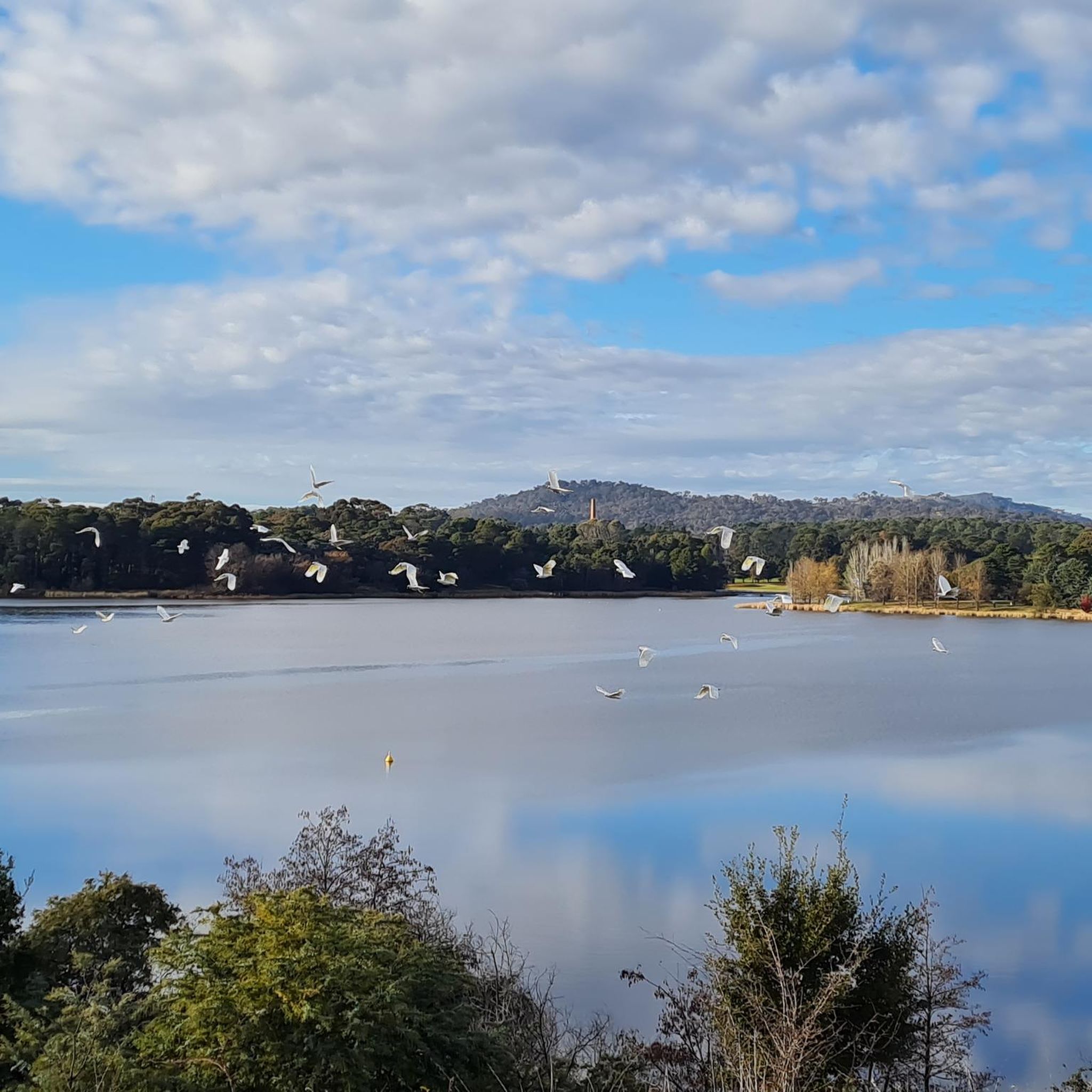
Cycling in Jerrabomberra West Grasslands Nature Reserve
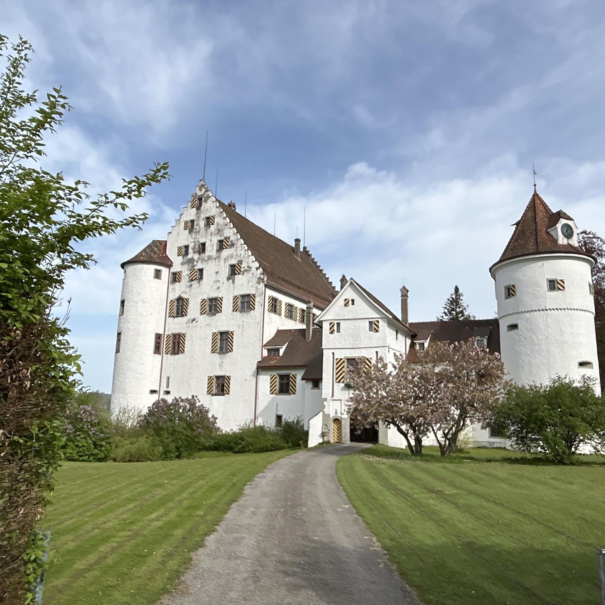
Running Trails in Jerrabomberra West Grasslands Nature Reserve
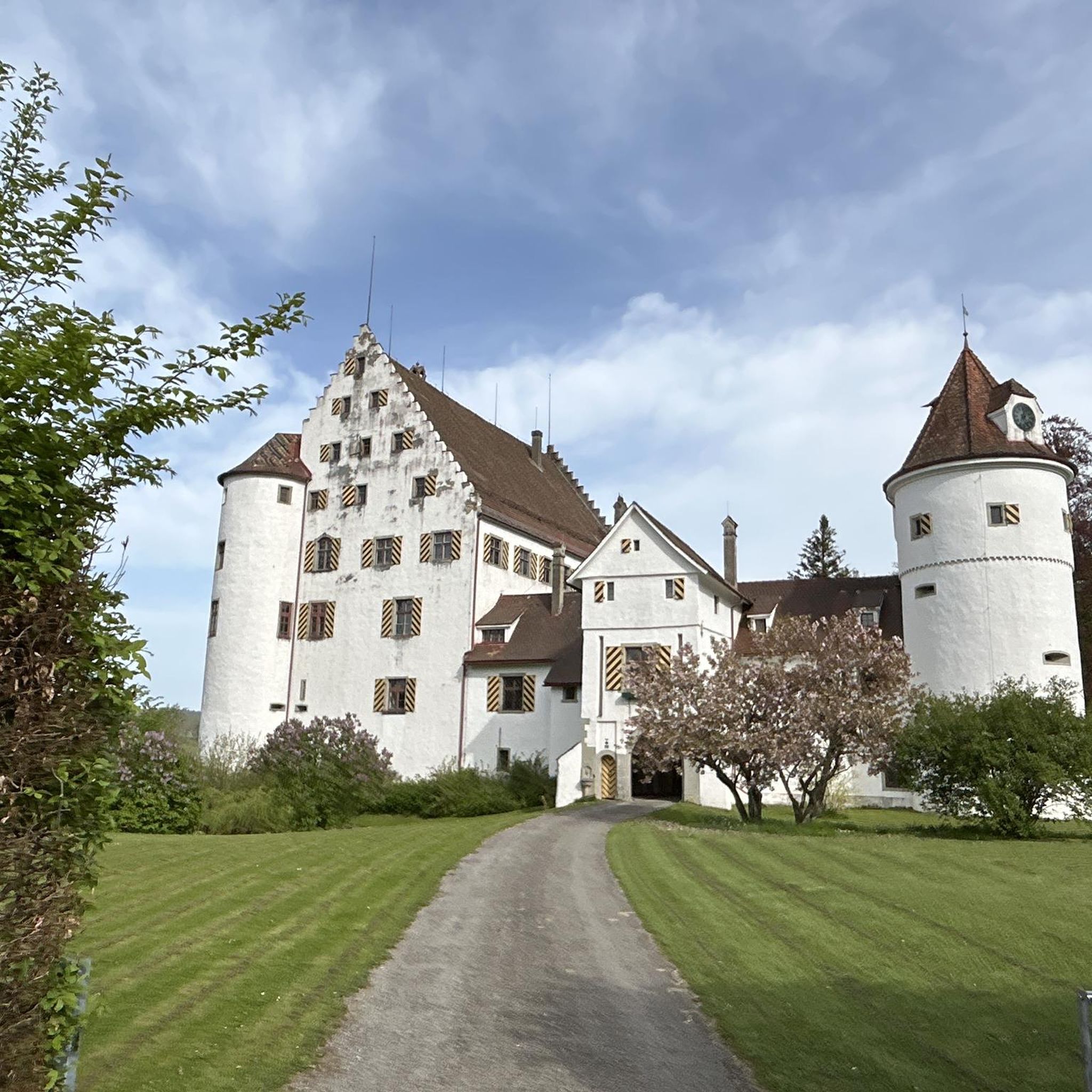
MTB Trails in Jerrabomberra West Grasslands Nature Reserve

Gravel biking in Jerrabomberra West Grasslands Nature Reserve
Tips from the Community

The Spine winds gradually uphill through Isaacs Pines, following a narrower line beneath the trees instead of the wider management roads nearby. It’s designed as a shared trail for walking, running and cross-country riding, with a gentler gradient than the steeper routes higher on the ridge. As you climb, gaps in the pines start opening towards Woden Valley and the Brindabella Ranges.
0
0
Isaacs Ridge Nature Reserve climbs above Woden Valley through open eucalypt woodland, with broad views across Canberra appearing as you gain height. The reserve protects one of the ACT’s larger connected areas of endangered Yellow Box–Blakely’s Red Gum grassy woodland, so stick to the existing tracks as you explore. Dogs are allowed on lead, and the more open ridgeline sections can feel quite exposed on hot or windy days.
0
0
There’s informal roadside parking along Long Gully Road, giving you quick access to Isaacs Pines and the ridge tracks. Pull well off the road where possible and take extra care getting in and out, as traffic can move quickly along this stretch. If the roadside spots are full, Shepherdson Place is the better overflow option, with a small informal parking area.
0
0

Jerrabomberra Hill Road is open to mountain biking and bushwalking. This track, Jerrabomberra Hill Road or the Jerra Hill Climb, is a steady climb on well-graded dirt road. It can be biked in either direction and is not open to public vehicles. It passes two groups of water towers and leads from the car park up to Mount Jerrabomberra Lookout.
0
0
The Jerrabomberra Mountain Reserve is home to Mount Jerrabomberra Lookout, forests and walking tracks. The walking track starts and finishes at the trackhead car park off Jerrabomberra Hill Road (access through Halloran Drive) and takes bushwalkers up the mountain through tracks and management roads. There are seasonal native wildflowers that create colour in this dry sclerophyll forest and open woodlands, so keep an eye out for blooms in spring.
0
0
Mount Jerrabomberra rises approximately 783 metres above sea level. Right by the tall radio tower at the summit is the Mount Jerrabomberra Lookout sits an observation deck with informational panels. The scenery is beautiful and from this deck there are great views over Queanbeyan, the Australian Capital Territory skyline, and distant mountain ranges.
0
0


Will need decent rubber and low psi but this fairly flat, flowing singletrack is good fun. No large gaps, drops or descents. Watch for jagged rocks and exposed tree roots.
0
0
Frequently Asked Questions
How many hiking trails are available in Jerrabomberra West Grasslands Nature Reserve?
There are over 60 hiking trails in Jerrabomberra West Grasslands Nature Reserve. The majority are easy (around 40) or moderate (around 23), with a few more challenging options available.
What kind of landscapes can I expect to see while hiking here?
The reserve is renowned for its extensive Natural Temperate Grasslands, one of Australia's largest remaining areas of this endangered ecosystem. You'll experience pleasant walks that transition from woodlands into open, grassy plains, offering a unique and important natural environment.
Are there any notable viewpoints or landmarks along the trails?
Yes, several points offer expansive vistas. The Quartz Trig provides sweeping grasslands views. Other trails lead to elevated perspectives like the Mount Wanniassa Summit Lookout and the Isaacs Ridge Trig Point, offering panoramic views of the surrounding landscape. The area also protects significant Aboriginal heritage sites.
What is the best time of year to go hiking in Jerrabomberra West Grasslands Nature Reserve?
The reserve is beautiful year-round, but spring and autumn generally offer the most pleasant hiking conditions with milder temperatures and vibrant natural scenery. Early mornings are particularly rewarding for birdwatching and experiencing mist views.
Are there any family-friendly hiking options?
Yes, the reserve offers several easy trails suitable for families. Paths are generally well-maintained and accessible. An example is the Lower Spine Pines Singletrack – Isaacs Ridge Trig Point loop from Farrer, which is an easy 6.3 km route with gentle ascents.
Can I bring my dog on the hiking trails?
To protect the sensitive natural values of the grasslands, particularly in line with the National Recovery Plan for the Grassland Earless Dragon, dogs are typically not permitted within Jerrabomberra West Grasslands Nature Reserve.
Are there any circular hiking routes available?
Yes, many of the trails in the reserve are designed as loops, allowing for a varied experience without retracing your steps. Examples include the Isaacs Ridge Trig Point – Lower Spine Pines Singletrack loop from Isaacs and the Mount Taylor Summit loop from Farrer.
What do other hikers enjoy most about Jerrabomberra West Grasslands Nature Reserve?
The area is highly rated by the komoot community, with an average score of 4.6 stars from over 50 reviews. Hikers often praise the unique experience of walking through the extensive natural temperate grasslands, the sweeping views from elevated points, and the peaceful atmosphere.
Is public transport available to access the hiking trails?
While direct public transport to the heart of the reserve might be limited, access to Jerrabomberra West Grasslands Nature Reserve is often gained via Callum Brae Nature Reserve. You would need to check local bus routes for connections to areas near Callum Brae or other entry points.
Where can I park when visiting the reserve?
Access to the reserve is typically via Callum Brae Nature Reserve, which has designated parking areas. It's advisable to check specific entry points for available parking facilities before your visit.
What kind of wildlife can I expect to see?
The reserve is an important ecosystem for diverse flora and fauna. It's particularly good for birdwatching, especially in the early morning. While the Jerrabomberra Wetlands (a distinct area) is a major bird sanctuary, the grasslands themselves host various avian residents and other native wildlife.
Are there any long-distance hiking options?
While many trails are moderate in length, there are options for longer hikes. For example, the Mount Taylor Summit loop from Farrer is an 8.6 km route, and the Isaacs Ridge Trig Point – Lower Spine Pines Singletrack loop from Isaacs covers 8 km, providing more extended exploration opportunities.
Most popular routes in Jerrabomberra West Grasslands Nature Reserve

Get inspired with the komoot mobile app


Explore more
Browse the best Hikes in other regions.
