The best MTB trails in Farrer Ridge Woodland Reserve
4.7
(26)
1,425
riders
58
rides
Mountain biking in Farrer Ridge Woodland Reserve offers a diverse network of trails within the Canberra Nature Park, situated between the suburbs of Farrer and Wanniassa. The terrain features significant natural woodland, including critically endangered Yellow Box–Blakely's Red Gum Grassy Woodland, and varied elevations. Riders can navigate crafted singletrack, jump lines, and management trails, with some sections offering steep climbs and technical features. The reserve provides panoramic views over Tuggeranong, the Brindabella mountain ranges, and the Woden Town Centre.
Best mountain bike trails in Farrer Ridge Woodland Reserve
- The most popular mountain bike trail is Lower Spine Pines Singletrack – Bruce Ridge Trailhead and Map loop from Farrer, a 67.6 miles (108.7 km) trail that takes 8 hours 51 minutes to complete. This difficult route features varied terrain and significant elevation gain.
- Another top favourite among local mountain bikers is Lower Spine Pines Singletrack loop from Isaacs, a moderate 7.1 miles (11.4 km) path. This route includes crafted singletrack and natural elements, offering a balanced riding experience.
- Local mountain bikers also love the View from Farrer Ridge loop from Isaacs, a 10.4 miles (16.7 km) trail leading through woodland and offering panoramic views, often completed in about 1 hour 29 minutes.
- Mountain biking in Farrer Ridge Woodland Reserve is defined by diverse trail networks, protected woodland vegetation, and panoramic ridge views. The network offers options for easy, moderate, and difficult routes, catering to various skill levels.
- The routes in Farrer Ridge Woodland Reserve are highly rated by the komoot community with an average score of 4.6 stars from over 20 reviews. More than 1500 mountain bikers have used komoot to explore Farrer Ridge Woodland Reserve's varied terrain.
Last updated: July 2, 2026
21
riders
105km
08:17
1,340m
1,340m
Hard mountain bike ride. Very good fitness required. Advanced riding skills necessary.
12
riders
11.4km
01:14
360m
360m
Moderate mountain bike ride. Good fitness required. Suitable for all skill levels.

Sign up for free
8
riders
16.7km
01:30
240m
240m
Easy mountain bike ride. Great for any fitness level. Suitable for all skill levels.
5
riders
65.5km
04:13
870m
860m
Moderate mountain bike ride. Good fitness required. Suitable for all skill levels.
16
riders
27.9km
01:57
270m
270m
Moderate mountain bike ride. Great for any fitness level. Advanced riding skills necessary.
Get access to more routes and recommendations from other explorers.
Sign up for free
Already have an account?
Our route recommendations are based on thousands of hikes, rides, and runs completed by other people on komoot.
Start today with a free account
Your next adventure awaits.
Login or Signup

Tips from the Community

Canberra Centenary Trail is a long-distance walking and cycling route that forms a 145-kilometre loop around the Australian Capital Territory. In this rural section near Hall, the trail follows easy farm paths and grassy hills as it approaches the climb to One Tree Hill. This quieter part of the route offers expansive views of farmland and distant ranges, giving the walk a remote feel despite being close to Canberra.
0
0
Hall is a small historic village on the northern edge of the ACT and a common starting point for the route to One Tree Hill. The path from the village quickly leaves the streets behind and climbs through open farmland toward the ridge. Its quiet rural setting is a charming gateway to the surrounding countryside and nearby tracks.
0
0
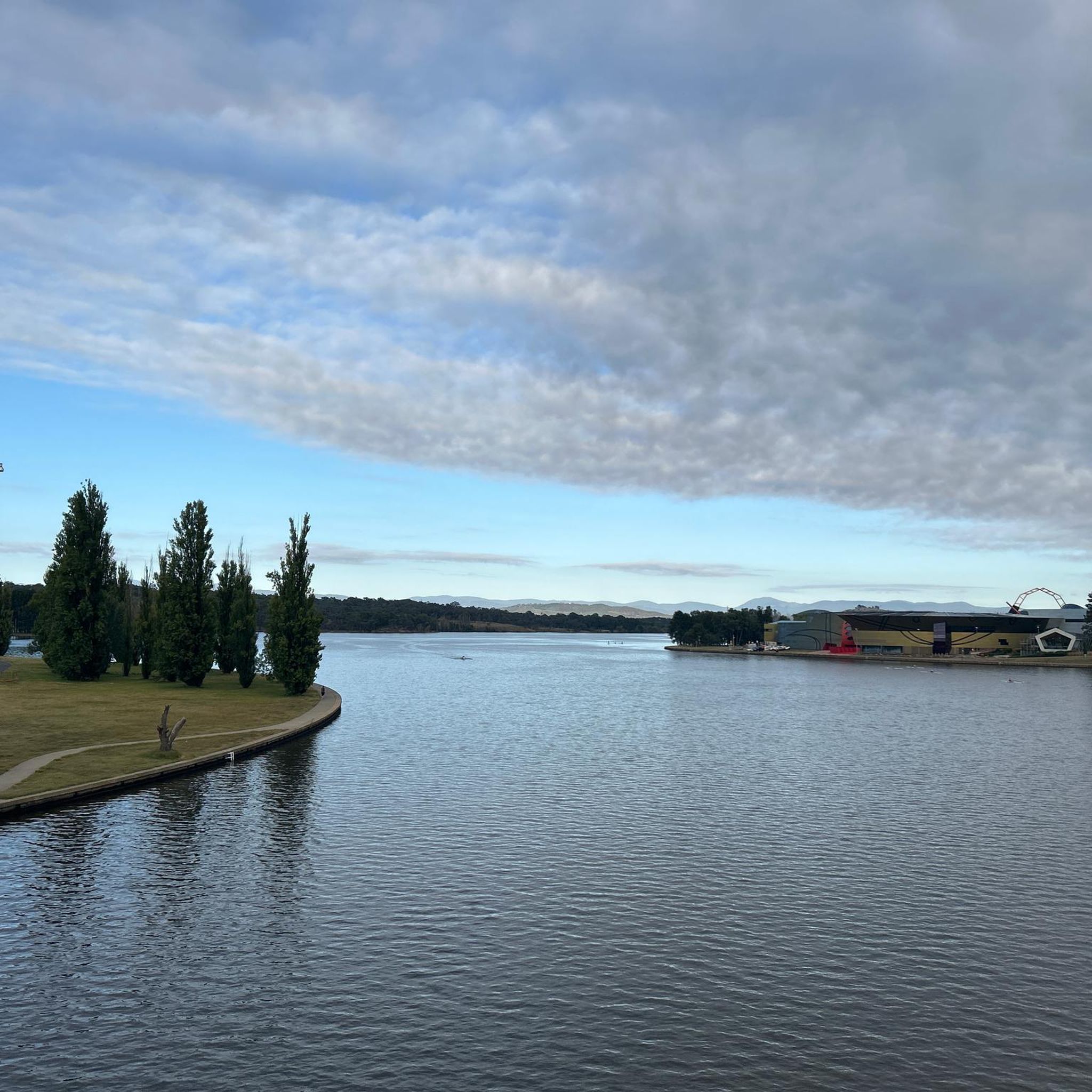
Lake Ginninderra is a beautiful artificial lake, created in 1974 by damming Ginninderra Creek. There are several parklands, walking and cycling paths, and popular recreation areas near the Belconnen Town Centre and the University of Canberra that surround the lake. Its open shoreline and wetlands attract a variety of waterbirds, making it a well-known spot for walking, picnicking, and enjoying the lakeside views.
0
0
Ngadyung Beach is a small, sandy, quiet lakeside area nestled along Lake Tuggeranong. The beach sits along open grass and the shared path that forms part of the Lake Tuggeranong Circuit. It's a peaceful place to stop along the lake for views across the water and a short break during a walk or cycle.
0
0
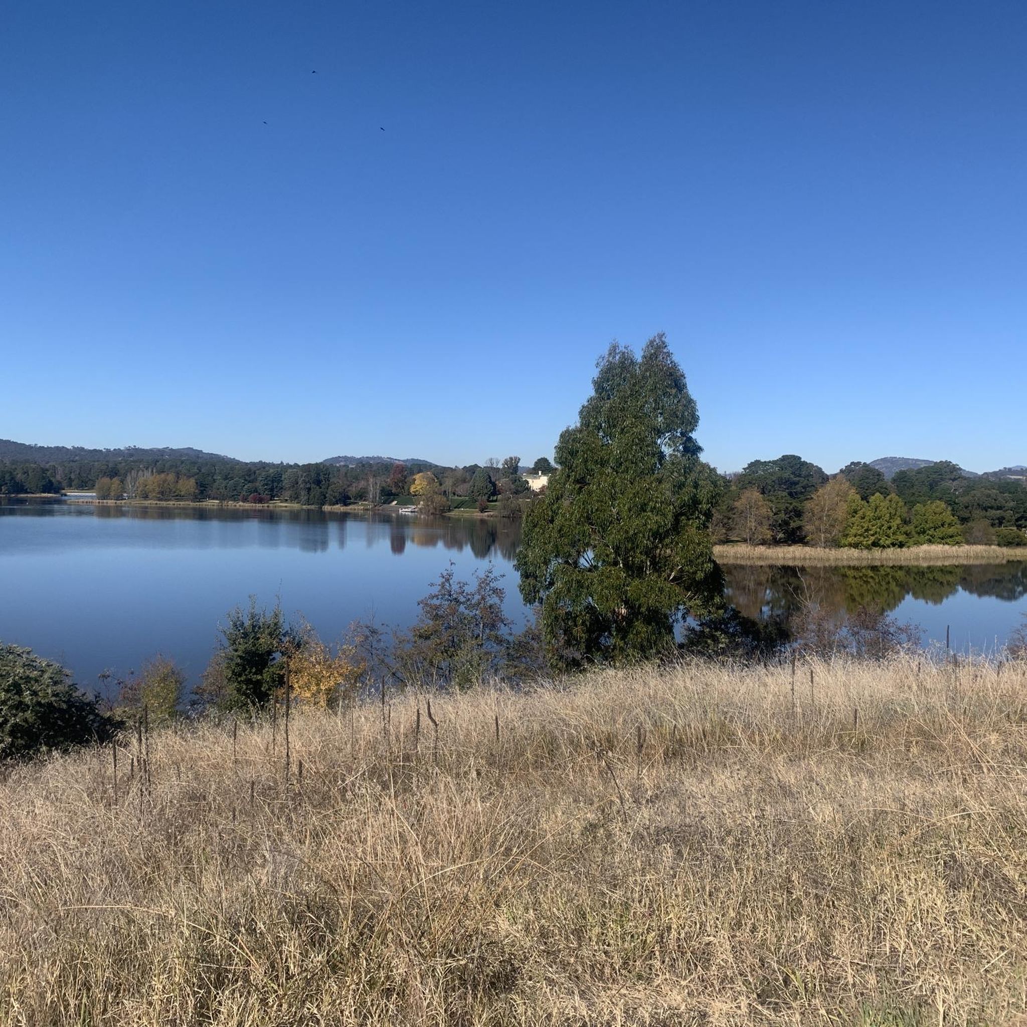
Lake Tuggeranong is a beautiful artificial lake in Canberra’s Tuggeranong district, created in the 1980s as part of the suburb’s town centre development. There is a shared walking and cycling path that circles the lake, passing parks, wetlands, and recreation areas along the shoreline. The lake is a popular local spot ideal for walking, cycling, kayaking, and birdwatching.
0
0
Tuggeranong Town Park Beach is a small sandy lakeside area within Tuggeranong Town Park on the northern shore of Lake Tuggeranong. The beach sits along open lawns and playgrounds, making it a popular place for families to relax by the water. Nearby facilities include picnic tables, barbecues, public toilets, playgrounds, and plenty of walking paths around the lake.
0
0

Built in honour of all Australians who have died as a result of war, this museum, memorial, and archive consists of five buildings and a sculpture garden. The museum is open every day aside from Christmas and the site hosts commemoration services on ANZAC and Remembrance Days.
0
0

Great ride from Kambah Pools to Red Rock Gorge and then finishing off at the Tuggeranong Stone Wall. Some steep sections but mostly rideable with a gravel bike with wide tyres.
0
0
Frequently Asked Questions
How many mountain bike trails are available in Farrer Ridge Woodland Reserve?
Farrer Ridge Woodland Reserve offers a diverse network of over 60 mountain bike trails. These routes cater to various skill levels, with options ranging from easy, family-friendly rides to challenging, difficult trails.
What types of mountain bike trails can I expect in Farrer Ridge Woodland Reserve?
The reserve features a mix of crafted singletrack, jump lines (including tabletop and doubles lines), and management trails. You'll encounter varied terrain with steep sections, twists, and natural elements, providing a dynamic riding experience. Remember that cycling is permitted on management trails only within the reserve.
Are there any easy mountain bike trails suitable for beginners or families?
Yes, Farrer Ridge Woodland Reserve has 18 easy mountain bike trails. A good option for a more relaxed ride is the View from Farrer Ridge loop from Isaacs, which is 16.7 km long and offers pleasant woodland scenery and panoramic views. Another easy route is the Lake Tuggeranong loop from Viking Park.
Where can I find challenging mountain bike trails in Farrer Ridge Woodland Reserve?
For experienced riders seeking a challenge, there are 10 difficult trails. The Lower Spine Pines Singletrack – Bruce Ridge Trailhead and Map loop from Farrer is a demanding 108.7 km route with significant elevation gain. Another difficult option is the Cotter Campground – Evolution Jump Trail loop from Kambah.
What are the best viewpoints or landmarks to see while mountain biking?
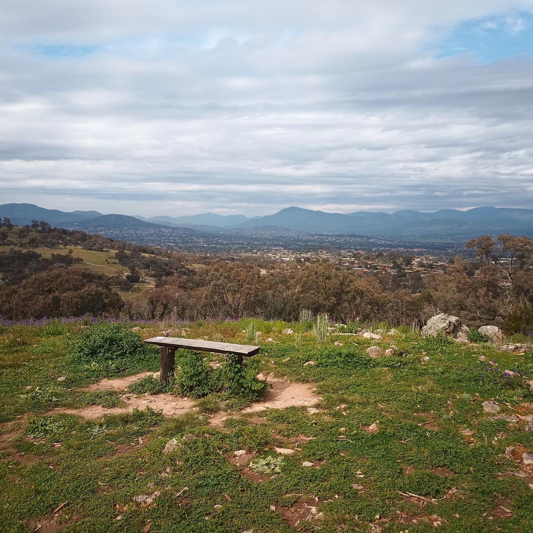
From the ridge, you can enjoy sweeping 180-degree views over Tuggeranong, the Brindabella mountain ranges, Woden Town Centre, and even the Telstra Tower in the distance. Farrer Hill, in particular, offers significant vistas. The reserve also protects a nationally critically endangered Yellow Box–Blakely's Red Gum Grassy Woodland.
What do other mountain bikers say about Farrer Ridge Woodland Reserve?
The mountain bike trails in Farrer Ridge Woodland Reserve are highly rated by the komoot community, with an average score of 4.6 stars from over 20 reviews. Riders often praise the diverse trail network, the mix of natural and crafted features, and the rewarding panoramic views from the ridge.
Is Farrer Ridge Woodland Reserve suitable for mountain biking with dogs?
While the reserve is popular for outdoor activities, specific regulations regarding dogs on mountain bike trails can vary. It's always best to check the latest local Canberra Nature Park guidelines for pet access on trails before heading out.
Are there any circular mountain bike routes in the reserve?
Yes, many of the trails in Farrer Ridge Woodland Reserve are designed as loops, allowing for circular rides. For example, the moderate Lower Spine Pines Singletrack loop from Isaacs offers a balanced riding experience through crafted singletrack and natural elements.
What is the best time of year to go mountain biking in Farrer Ridge Woodland Reserve?
Canberra's climate means spring and autumn generally offer the most pleasant conditions for mountain biking, with mild temperatures. Summer can be hot, so early morning or late afternoon rides are preferable. Winter rides are possible, but trails might be damp or muddy after rain, and temperatures will be cooler.
Where can I park when visiting Farrer Ridge Woodland Reserve for mountain biking?
The reserve is located between the suburbs of Farrer and Wanniassa. Parking is typically available at various access points around the perimeter of the reserve, often near residential areas or designated trailheads. Specific parking details can usually be found on local Canberra Nature Park maps or websites.
Can I reach Farrer Ridge Woodland Reserve by public transport?
Farrer Ridge Woodland Reserve is situated within Canberra, and public transport options, such as local bus services, may provide access to the surrounding suburbs of Farrer and Wanniassa. From there, it would likely be a short ride or walk to the trailheads. Check local Transport Canberra schedules for the most current information.
Most popular routes in Farrer Ridge Woodland Reserve

Get inspired with the komoot mobile app


Explore more
Browse the best MTB trails in other regions.
