The best walks and hikes in Kinlyside Nature Reserve
4.3
(12)
395
hikers
17
hikes
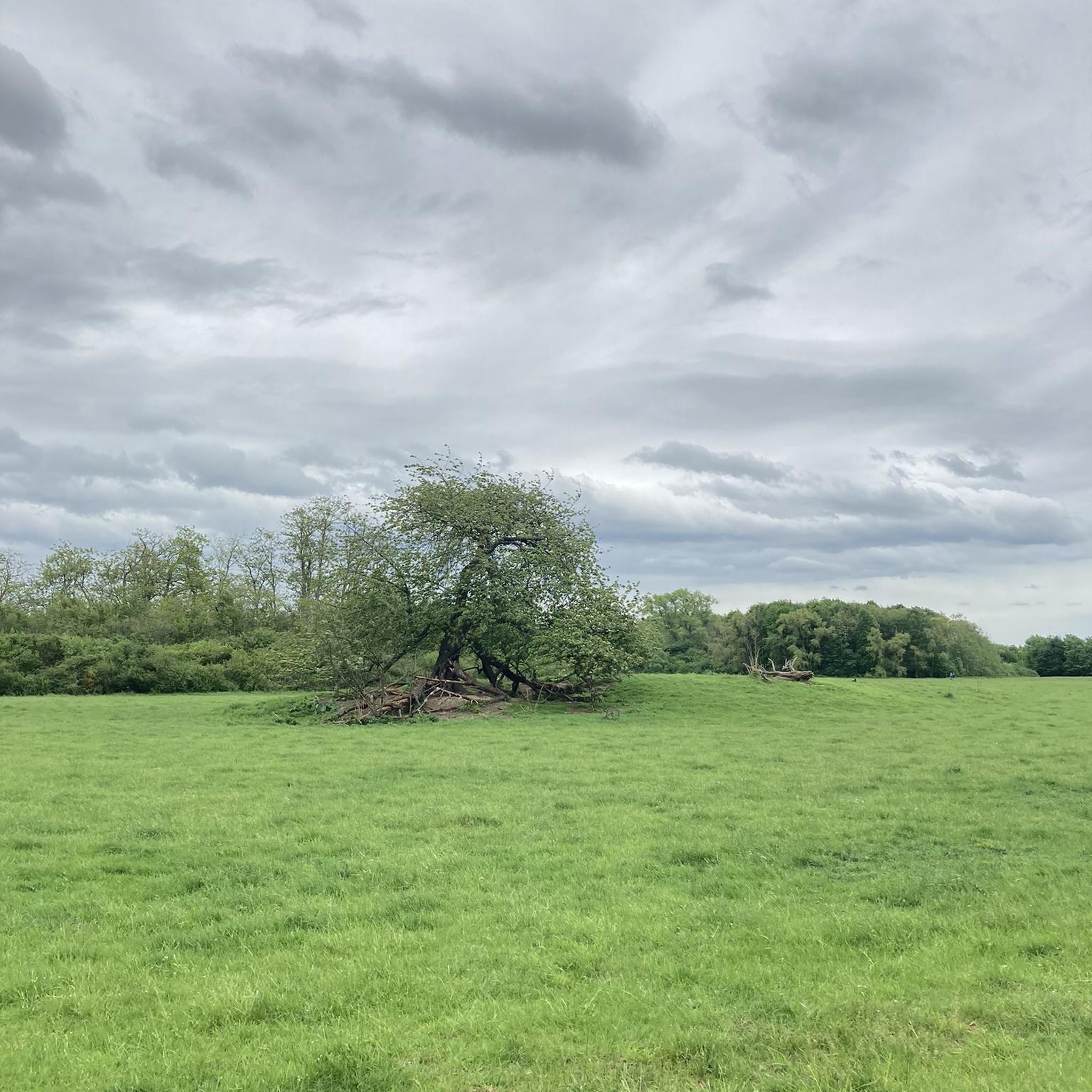
Hiking in Kinlyside Nature Reserve features a protected landscape characterized by critically endangered Yellow Box–Blakely's Red Gum Grassy Woodland, ancient eucalypt trees, and sweeping grasslands. The terrain includes areas along Halls Creek and undulating ridges with knolls and dips. This 228-hectare reserve in the Australian Capital Territory offers a mix of recovering grazing land and natural woodland environments.
Best hiking trails in Kinlyside Nature Reserve
- The most popular hiking route is Hiking loop from Kinlyside Nature Reserve, a 5.6…
Last updated: July 4, 2026
5.0
(2)
97
hikers
9.03km
02:36
210m
210m
Moderate hike. Good fitness required. Easily-accessible paths. Suitable for all skill levels.
80
hikers
4.07km
01:02
10m
10m
Easy hike. Great for any fitness level. Easily-accessible paths. Suitable for all skill levels.

Sign up for free
16
hikers
4.11km
01:09
80m
80m
Easy hike. Great for any fitness level. Easily-accessible paths. Suitable for all skill levels.
7
hikers
5.52km
01:32
100m
100m
Easy hike. Great for any fitness level. Easily-accessible paths. Suitable for all skill levels.
4.5
(4)
119
hikers
7.21km
01:50
20m
20m
Easy hike. Great for any fitness level. Easily-accessible paths. Suitable for all skill levels.
Get access to more routes and recommendations from other explorers.
Sign up for free
Already have an account?
Our route recommendations are based on thousands of hikes, rides, and runs completed by other people on komoot.
Start today with a free account
Your next adventure awaits.
Login or Signup



Tips from the Community

This is a lovely shared-use path that forms a continuous loop around Yerrabi Pond and is ideal for walking, running, and cycling. The mostly sealed track follows the shoreline, with beautiful views across the water and regular access points and rest areas. The path is relatively flat the entire way, and the scenic setting makes it an easy and enjoyable circuit for exploring the parklands around the pond.
0
0
Yerrabi Pond is a beautiful artificial lake created for stormwater management that also supports birdlife and local ecosystems. The pond is surrounded by open green space and wetlands, and is a great balance of both natural habitat and recreational space. Its peaceful setting and expansive views make it a focal point for plenty of outdoor activities in this area.
0
0
Yerrabi Pond District Park is a large open parkland that surrounds Yerrabi Pond. You'll find a mix of recreation spaces, playgrounds, and picnic areas, making it an ideal destination that offers something for everyone looking to enjoy some time outdoors. The park includes beautifully landscaped lawns, wetlands, and shared pathways for walking and cycling. With its accessible design and amenities, it's a popular outdoor hub for the Gungahlin community.
0
0
One Tree Hill is the highest point on the Canberra Centenary Trail, sitting on the border between the ACT and New South Wales. From the open hilltop, there are sweeping views that extend across Canberra’s northern suburbs, the rural plains around Hall, and the distant Brindabella Range. A trig point marks the summit, making it a rewarding destination after the steady climb.
0
0
Canberra Centenary Trail is a long-distance walking and cycling route that forms a 145-kilometre loop around the Australian Capital Territory. In this rural section near Hall, the trail follows easy farm paths and grassy hills as it approaches the climb to One Tree Hill. This quieter part of the route offers expansive views of farmland and distant ranges, giving the walk a remote feel despite being close to Canberra.
0
0
Hall is a small historic village on the northern edge of the ACT and a common starting point for the route to One Tree Hill. The path from the village quickly leaves the streets behind and climbs through open farmland toward the ridge. Its quiet rural setting is a charming gateway to the surrounding countryside and nearby tracks.
0
0
The Lake Ginninderra Shared Path is a sealed multi-use route that loops around the shoreline of Lake Ginninderra through parklands, recreation areas, and sections of lakeside bushland. Popular with walkers, runners, and cyclists, the route offers continuous, beautiful views of the water the entire way, especially if you're here at sunset.
0
0
Emu Bank Bridge is a dedicated pedestrian and cycling bridge that crosses Lake Ginninderra, connecting the Belconnen Town Centre waterfront with parkland and walking paths on the opposite shore. As part of the lake’s shared path network, there are fantastic panoramic views across the water toward the surrounding suburbs and skyline of Belconnen.
0
0
Frequently Asked Questions
Is Kinlyside Nature Reserve open to the public for hiking?
Public entry to Kinlyside Nature Reserve is generally not permitted at present, as it is under a rural lease and formally closed to the public. Access, when available, sometimes requires permission from the landowner or occurs during guided events. For hiking experiences in similar natural environments, consider nearby alternatives such as Mulligans Flat Nature Reserve or Mount Rogers.
What kind of terrain can I expect when hiking in the Kinlyside Nature Reserve area?
The Kinlyside Nature Reserve area features a mix of terrain, including critically endangered Yellow Box–Blakely's Red Gum Grassy Woodland with ancient eucalypt trees and sweeping grasslands. You'll find areas along Halls Creek, recovering grazing land, and undulating ridges with knolls and dips. The routes in the broader area range from easy strolls to moderate hikes.
How many hiking trails are available in the Kinlyside Nature Reserve area?
There are 16 hiking routes available in the broader Kinlyside Nature Reserve area, ranging from easy to moderate difficulty. These include trails that explore the natural woodland and nearby features.
Are there family-friendly hiking options near Kinlyside Nature Reserve?
Yes, there are family-friendly hiking options in the vicinity. For example, the Mount Rogers loop from Fraser is an easy 3.4-mile (5.5 km) path that offers views and passes through open parkland, suitable for families. Another easy option is the Creek loop from Latham.
What natural features or wildlife might I encounter in the Kinlyside Nature Reserve area?
The Kinlyside Nature Reserve area is known for its critically endangered Yellow Box–Blakely's Red Gum Grassy Woodland. It serves as an important habitat for threatened woodland birds like the Diamond Firetail and Southern Whiteface, as well as the endangered Golden Sun Moth and vulnerable Pink-tailed Worm-lizard. While direct access to the reserve is restricted, these species are indicative of the rich biodiversity in the surrounding region.
Are there any circular walks in the Kinlyside Nature Reserve area?
Yes, many of the routes in the area are circular. A popular moderate option is the Hiking loop from Kinlyside Nature Reserve, which is 5.6 miles (9.0 km) long. For an easier circular walk, consider the Mulligans Flat Nature Reserve loop from Forde.
What do other hikers enjoy the most about hiking in the Kinlyside Nature Reserve area?
The area is highly rated by the komoot community, with an average score of 4.2 stars. Hikers often praise the varied woodland scenery, the peaceful atmosphere, and the opportunity to experience ancient eucalypt trees and sweeping grasslands.
What are some good alternative hiking locations if Kinlyside Nature Reserve is not accessible?
Given the current access restrictions to Kinlyside Nature Reserve, excellent nearby alternatives include Mulligans Flat Nature Reserve and Mount Rogers. These areas offer similar natural environments with diverse trails. For example, the Mulligans Flat Nature Reserve loop from Forde is a great option for exploring native bushland.
Are there any historical or cultural sites in the Kinlyside Nature Reserve area?
Yes, Kinlyside Nature Reserve is situated on Ngunnawal Country and protects 30 Aboriginal heritage sites listed on the ACT Heritage Register, including stone artifacts and scarred trees. The area also features remnants of 19th-century land use from European settlement, adding a layer of historical interest to the landscape.
What is the best time of year to hike in the Kinlyside Nature Reserve region?
The Kinlyside Nature Reserve region, like much of the Australian Capital Territory, offers pleasant hiking conditions during spring and autumn when temperatures are milder. Spring brings wildflowers, while autumn showcases beautiful foliage. Summer can be hot, and winter can be cool, but both seasons are still suitable for hiking with appropriate preparation.
Are there any long-distance hiking options in the Kinlyside Nature Reserve vicinity?
While Kinlyside Nature Reserve itself is not currently open for public access, the broader area offers longer routes. For instance, the Mulligans Flat Nature Reserve loop from Manning Clark North is a moderate 10.3-mile (16.6 km) trail, providing a more extended hiking experience through native bushland.
Most popular routes in Kinlyside Nature Reserve

Get inspired with the komoot mobile app


Explore more
Browse the best Hikes in other regions.
