The 3 Most Amazing Peaks around Brigachtal
Best mountain peaks around Brigachtal are characterized by a charming hilly landscape on the eastern edge of the Black Forest. The region, part of the Baar plateau, features elevated areas and diverse forest environments. The highest elevation within the municipal area reaches 793 meters above sea level in the Weißwald, offering tranquil forest walks. Brigachtal provides extensive networks of hiking and cycling paths for exploring its natural surroundings.
Best mountain peaks around Brigachtal
- The most popular mountain peaks is Magdalenenberg…
Last updated: July 1, 2026
Magdalenenberg Oak
Highlight • Natural Monument
Translated by Google •
Tip by

Türnleberg Summit and Richard Schmidt Memorial
Highlight • Summit
Translated by Google •
Tip by

Sign up now to discover places like this
Get recommendations on the best single tracks, peaks, & plenty of other exciting outdoor places.
Sign up for free
Türnleberg (790 m)
Highlight • Summit
de.m.wikipedia.org/wiki/T%C3%BCrnleberg
Translated by Google •
Tip by

Friedrichshöhe Guesthouse
Highlight • Settlement
Translated by Google •
Tip by

Blatthaldenhütte Viewpoint
Highlight • Mountain Hut
When the distance is far, the Feldberg can easily be seen with binoculars.
Translated by Google •
Tip by

Sign up for free to discover even more peaks around Brigachtal.
Sign up for free
Already have an account?
Start today with a free account
Your next adventure awaits.
Login or Signup

Tips from the Community

The Türnleberg is located at 793 m near VS and is on the former border between Baden and Württemberg
0
0

Just to avoid disappointment: the inn has been closed for years.
1
0

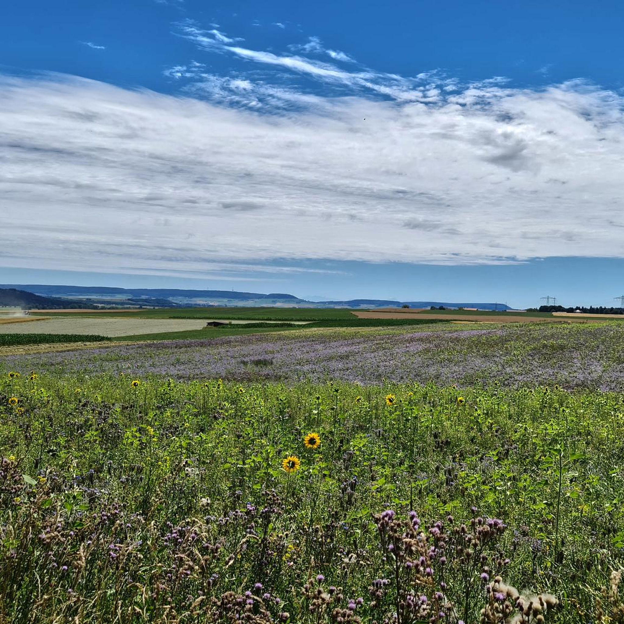
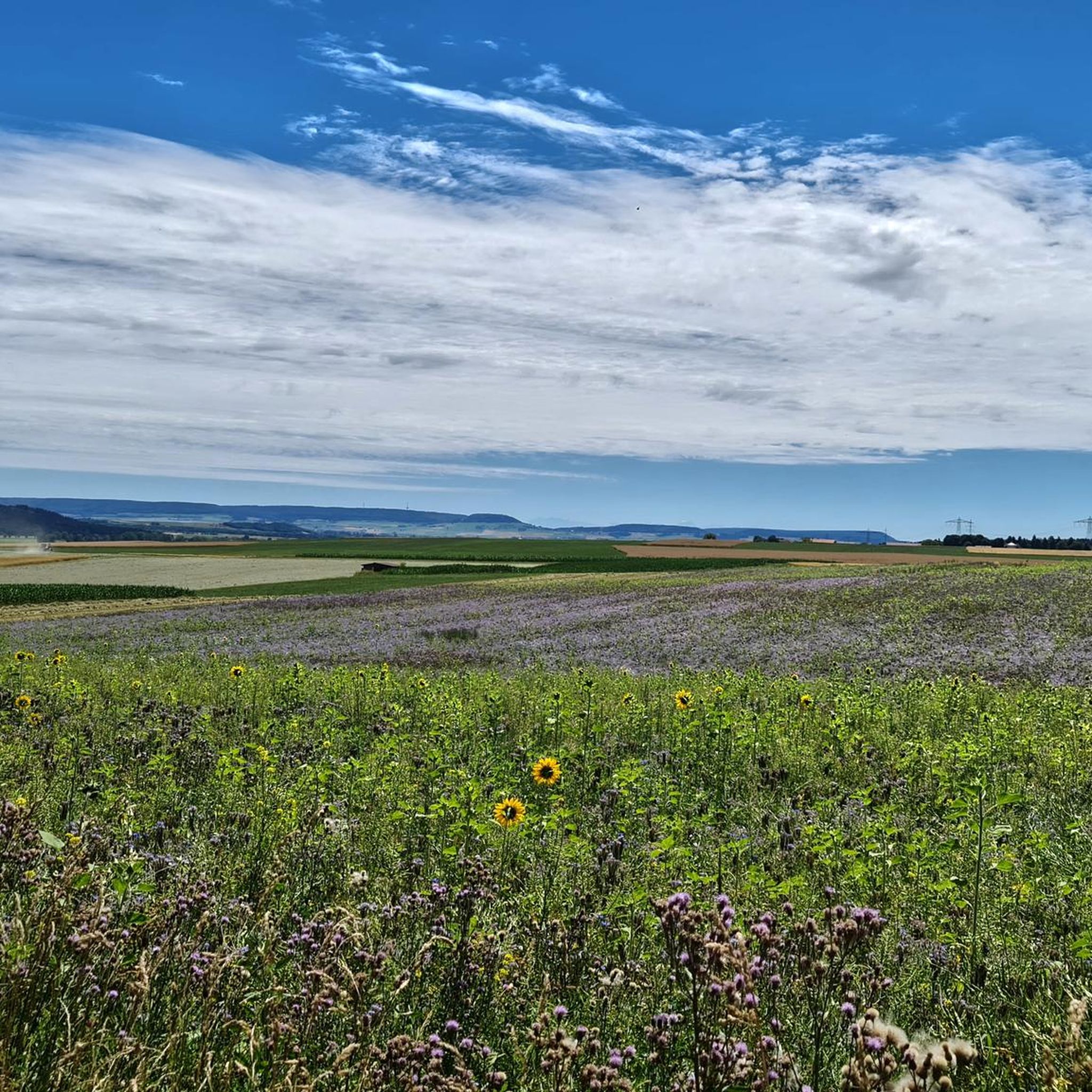
Great vantage point with a wonderful view
0
0

The hut belongs to the district of Unterbaldingen (= highest point, 915 m); amazing place with fantastic view!
1
0

Highest elevation near VS-Shwenningen
1
0

More information under the following link: https://de.m.wikipedia.org/wiki/T%C3%BCrnleberg
7
0

Nice nature reserve. With many information boards
3
0

After a long ascent, you can take a relaxed break here, I can only recommend ... stop in for 30 minutes as the view is fantastic. When the distance is far, the Feldberg can easily be seen with binoculars.
4
0
Frequently Asked Questions
What are the most notable elevated areas or 'peaks' to explore in Brigachtal?
Brigachtal features several elevated areas that offer natural beauty and recreational opportunities. Key spots include the Magdalenenberg Oak, known for its views, and the Magdalenenberg Celtic Burial Mound, a significant historical site. Another popular spot is the Türnleberg Summit and Richard Schmidt Memorial, which offers resting opportunities and historical context. The highest point within the municipal area is the Weißwald, reaching 793 meters above sea level.
What kind of natural features can I expect to see around Brigachtal's elevated areas?
The region is characterized by a charming hilly landscape on the eastern edge of the Black Forest. You'll find diverse forest environments, particularly in the Weißwald, which historically featured fir trees and now includes spruce, Scots pine, beech, maple, and birch. Mosses often cover the ground, indicating a moist environment. The Magdalenenberg Oak itself is a prominent natural monument.
Are there any historical sites among the elevated areas in Brigachtal?
Yes, Brigachtal is rich in history. The Magdalenenberg Celtic Burial Mound is a major historical landmark, considered the largest burial mound in the world, dating back to the early Iron Age. The Türnleberg Summit and Richard Schmidt Memorial also holds historical significance, as it's located on the former border between Baden and Württemberg.
What is the highest elevation point in the Brigachtal area?
The highest elevation within the Brigachtal municipal area reaches 793 meters above sea level, located in the Weißwald. This area is situated on a main Muschelkalk ridge and offers tranquil forest walks.
Are there family-friendly options for exploring the elevated areas around Brigachtal?
Yes, several spots are suitable for families. Both the Magdalenenberg Oak and the Magdalenenberg Celtic Burial Mound are categorized as family-friendly, offering accessible natural and historical experiences.
What do visitors enjoy most about the elevated areas and 'peaks' in Brigachtal?
Visitors appreciate the tranquil forest walks, the great views of the surroundings, and the opportunity to rest on benches at spots like the Türnleberg Summit. The historical significance of sites like the Magdalenenberg Celtic Burial Mound also draws considerable interest. The komoot community has shared over 120 photos and given more than 400 upvotes to these spots.
What outdoor activities can I do near the elevated areas of Brigachtal?
Brigachtal offers an extensive network of hiking and cycling paths. You can find various routes for different sports. For running, explore options like the 'Brigach Riverside Spot loop from Brigachtal Klengen' or 'Running loop from Brigachtal Kirchdorf' found in the Running Trails around Brigachtal guide. Mountain biking enthusiasts can check out routes like 'Brigach Riverside Path – Singletrails Near Aufen loop from Brigachtal Klengen' in the MTB Trails around Brigachtal guide. There are also gravel biking routes available, such as 'Linachtalsperre Dam – Linach Dam loop from Villingen (Schwarzwald)' in the Gravel biking around Brigachtal guide.
Is the Brigachtal region part of a larger natural park?
Yes, the Brigachtal region is part of the Southern Black Forest Nature Park, which further emphasizes its natural beauty and commitment to preserving its diverse environments.
What is the general terrain like in Brigachtal?
Brigachtal is characterized by a charming hilly landscape, situated on the eastern edge of the Black Forest. It lies between 705 and 790 meters above sea level and is part of the Baar plateau, which generally ranges from 600 to 900 meters above sea level. While not featuring dramatic mountain ascents, the terrain offers pleasant natural excursions through elevated forest areas and hillsides.
Are there any specific viewpoints recommended in Brigachtal?
Yes, the Magdalenenberg Oak is highlighted for offering great views of the surroundings. The Türnleberg Summit and Richard Schmidt Memorial also provides opportunities to enjoy the area's scenery.
What is the significance of the Baar plateau in relation to Brigachtal?
Brigachtal is located on the Baar plateau, which generally lies between 600 and 900 meters above sea level and borders the southeastern Black Forest. This plateau defines the region's characteristic hilly terrain and contributes to its unique landscape, distinct from the higher peaks of the Black Forest itself. You can learn more about the Baar region on Wikipedia.
Most popular routes around Brigachtal
Most popular attractions around Brigachtal

Get inspired with the komoot mobile app


Explore more
See even more amazing summits around Brigachtal with these guides:
