The best road cycling routes in Pasa
4.7
(9)
98
riders
10
rides
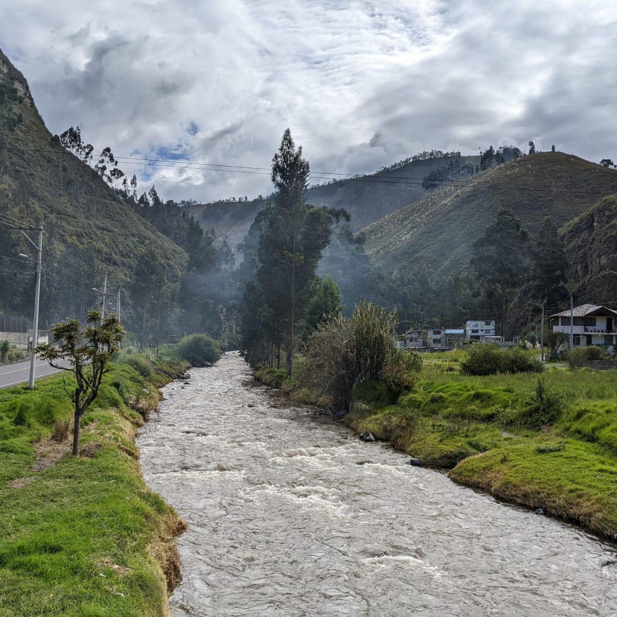
Road cycling in Pasa features a landscape characterized by significant elevation changes, offering routes with both moderate and difficult climbs. The region's terrain includes rolling hills and varied gradients, making it suitable for road cyclists seeking a challenge. Many routes are designed as loops, providing diverse scenery and return points.
Best road cycling routes in Pasa
- The most popular road cycling route is Simón Bolívar Market loop from Ambato, a 24.4 miles (39.2 km) trail that takes 2 hours…
Last updated: July 16, 2026
4.5
(4)
16
riders
30.9km
01:51
730m
730m
Moderate road ride. Good fitness required. Mostly well-paved surfaces and easy to ride.
5.0
(1)
13
riders
59.3km
03:36
1,510m
1,510m
Hard road ride. Very good fitness required. Mostly well-paved surfaces and easy to ride.

Sign up for free
13
riders
48.0km
02:27
710m
710m
Moderate road ride. Good fitness required. Mostly well-paved surfaces and easy to ride.
13
riders
45.2km
02:33
740m
740m
Moderate road ride. Good fitness required. Mostly well-paved surfaces and easy to ride.
4
riders
47.8km
02:40
1,010m
1,010m
Hard road ride. Very good fitness required. Mostly well-paved surfaces and easy to ride.
Get access to more routes and recommendations from other explorers.
Sign up for free
Already have an account?
Our route recommendations are based on thousands of hikes, rides, and runs completed by other people on komoot.
Start today with a free account
Your next adventure awaits.
Login or Signup
Popular around Pasa

Tips from the Community

Frequently Asked Questions
What is the general difficulty level for road cycling in Pasa?
Road cycling in Pasa is characterized by significant elevation changes, offering routes with both moderate and difficult climbs. The terrain includes rolling hills and varied gradients, making it suitable for cyclists seeking a challenge. There are 5 moderate and 5 difficult routes available.
What are the typical distances for road cycling routes in Pasa?
Routes in Pasa vary in length. For example, the Simón Bolívar Market loop from Ambato is 24.4 miles (39.2 km), while the Simón Bolívar Market loop from Parque 2 culturas extends to 36.9 miles (59.3 km).
Are there any beginner-friendly road cycling routes in Pasa?
Pasa's road cycling routes are generally categorized as moderate to difficult due to the significant elevation changes and varied gradients. There are no routes specifically classified as 'easy' in the current selection, but moderate options like the Start – Flat loop from Ambato could be a good starting point for those looking for a less intense challenge within the moderate category.
What kind of terrain can I expect on road cycling routes in Pasa?
You can expect a landscape with significant elevation changes, including rolling hills and varied gradients. Routes often feature challenging ascents and descents, providing a dynamic and engaging experience for road cyclists.
Are there any loop road cycling routes in Pasa?
Yes, many of the road cycling routes in Pasa are designed as loops, offering diverse scenery and convenient return points. Examples include the Quebrada Puchato loop from Santa Rosa and the Simón Bolívar Market – Start loop from Presidencial.
What do other road cyclists enjoy most about road cycling in Pasa?
The area is highly rated by the komoot community, with an average score of 4.7 stars from around 10 reviews. Cyclists often praise the challenging ascents, varied gradients, and scenic loop routes that define the region's road cycling experience.
How many road cycling routes are available in Pasa?
There are 10 road cycling routes available in Pasa, offering a range of experiences for cyclists.
What is the best time of year for road biking in Pasa?
While specific seasonal details are not provided, road cycling in Pasa involves significant elevation changes. It's generally advisable to check local weather conditions, especially for rain or extreme temperatures, before planning your ride to ensure a safe and enjoyable experience on the varied terrain.
Are there any advanced road cycling routes for experienced riders in Pasa?
Yes, Pasa offers several challenging routes suitable for advanced road cyclists. Approximately half of the routes are classified as 'difficult,' featuring substantial ascents and demanding gradients. The Simón Bolívar Market loop from Parque 2 culturas, for instance, includes over 1,500 feet of climbing over its 36.9 miles.
Can I find cafes or places to stop along the road cycling routes in Pasa?
While specific cafes are not detailed for each route, many routes start or pass through towns and markets, such as the various 'Simón Bolívar Market' loops. These areas typically offer opportunities for refreshments and breaks. It's always a good idea to check the route details on komoot for points of interest or plan your stops in advance.
Are there any scenic viewpoints along the road cycling routes in Pasa?
Given the region's rolling hills and varied gradients, many routes naturally offer scenic vistas. While specific viewpoints are not listed, the significant elevation changes mean you'll often be rewarded with expansive views of the surrounding landscape as you climb and descend.
How can I find parking for road cycling routes in Pasa?
Parking information is typically available on the individual route pages on komoot. Many routes start from accessible points within or near towns, where public parking might be available. It's recommended to check the specific starting point of your chosen route for detailed parking suggestions.
Most popular routes in Pasa

Get inspired with the komoot mobile app


Explore more
Browse the best Road cycling routes in other regions.
