The best running trails in Tumbaco
5.0
(10)
369
runners
11
runs
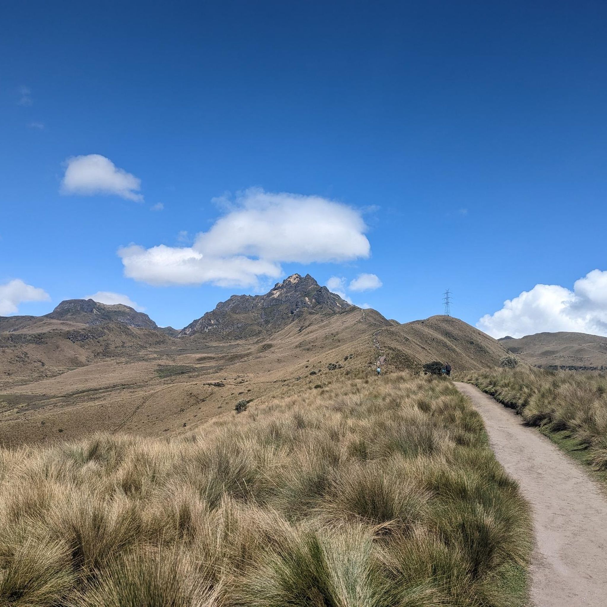
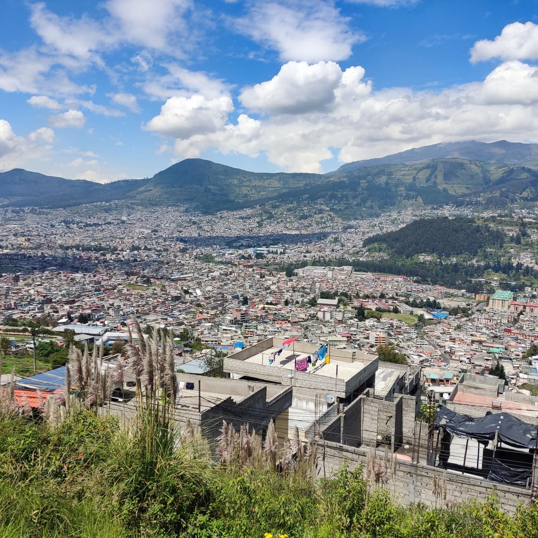
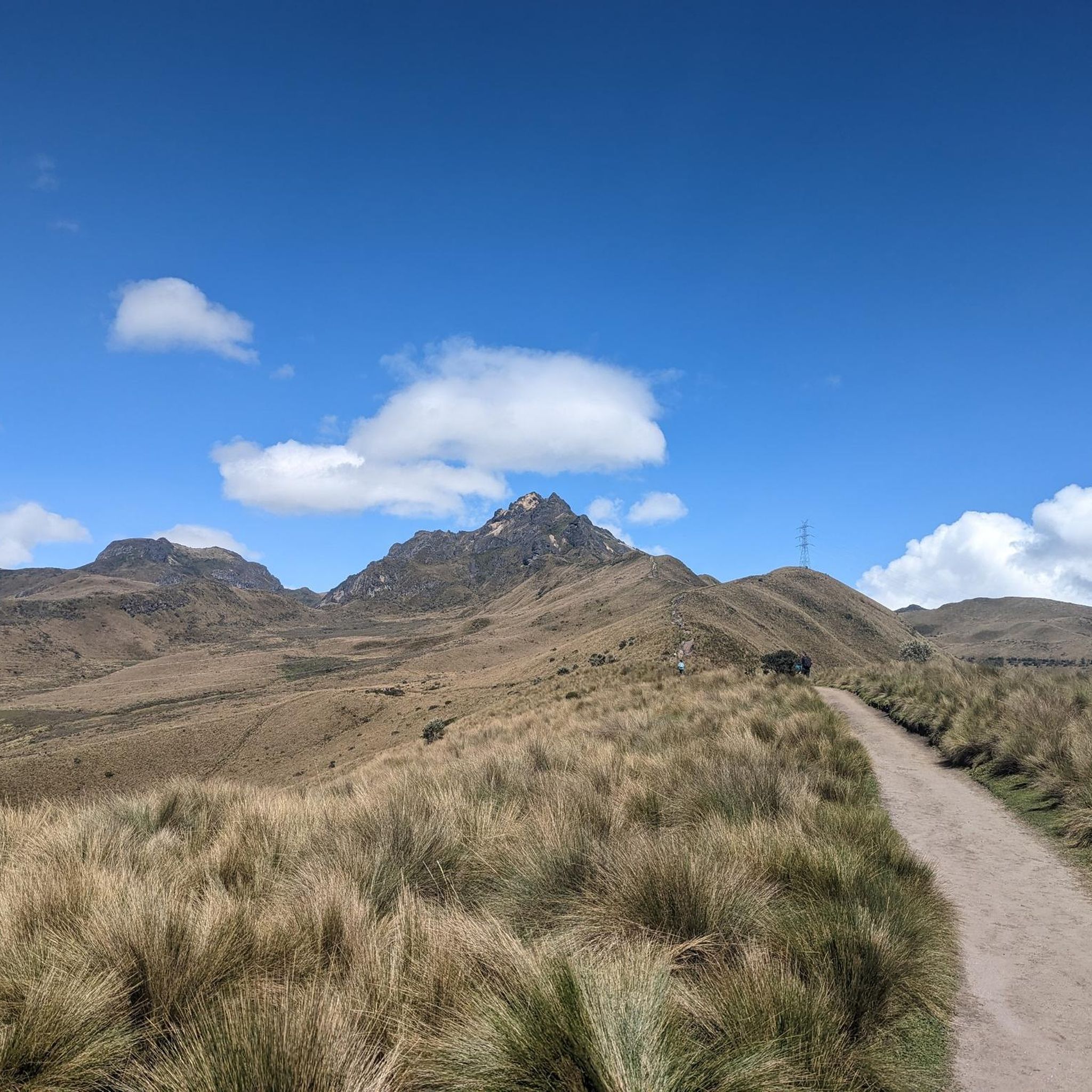
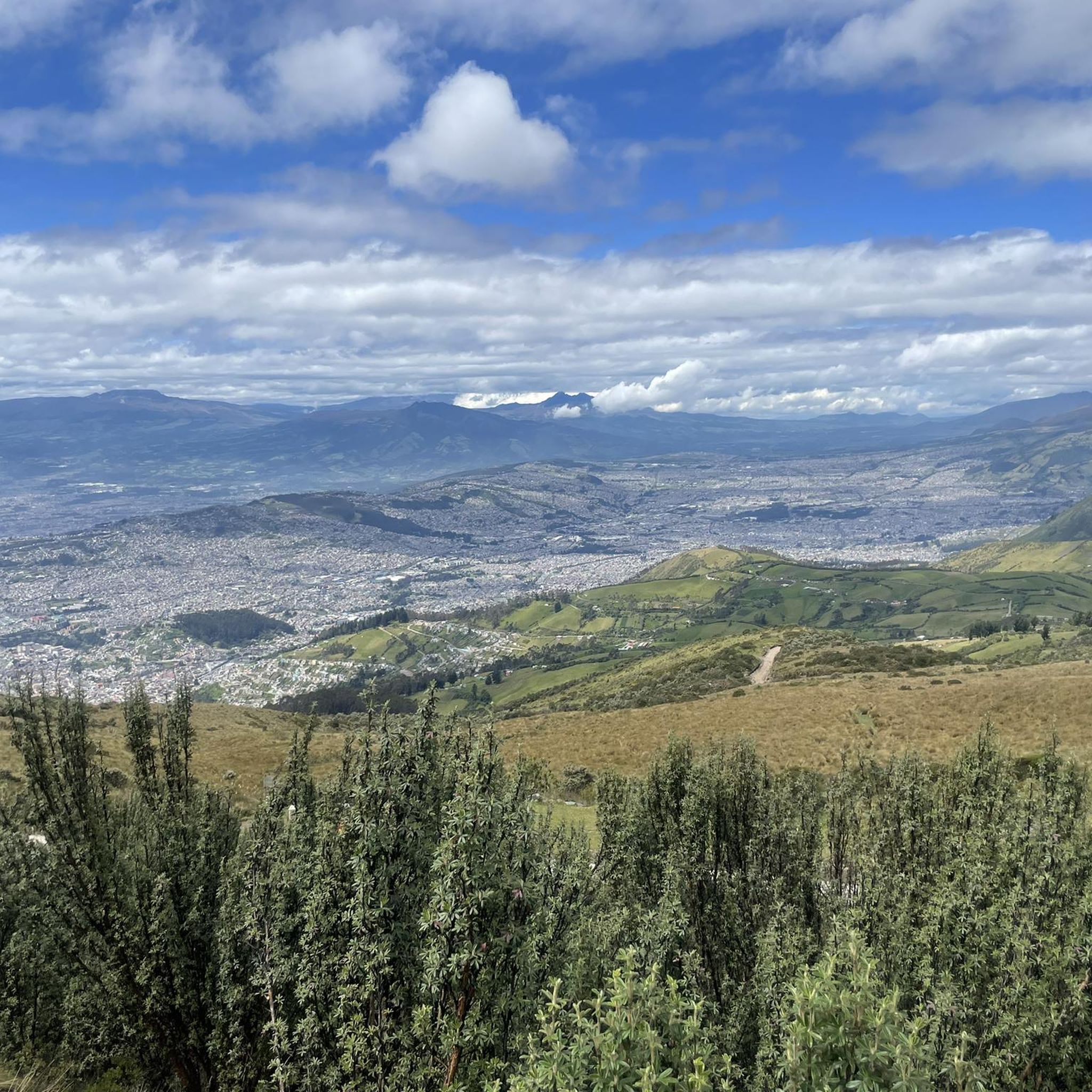
Jogging in Tumbaco offers diverse terrain in a valley located east of Quito, characterized by a warmer climate due to its lower elevation of approximately 2,200 meters above sea level. The region features varied landscapes, including the Tumbaco Valley with its mountain backdrops, the extinct Ilaló Volcano, and natural areas surrounding the El Chiche River. Running routes often alternate through green spaces, countryside, and accessible paths, providing a mix of natural and semi-urban environments.
Best jogging routes in Tumbaco
- The…
Last updated: June 27, 2026
18
runners
15.2km
01:37
160m
160m
Hard run. Very good fitness required. Mostly paved surfaces. Suitable for all skill levels.
19
runners
8.21km
00:51
60m
60m
Moderate run. Good fitness required. Mostly paved surfaces. Suitable for all skill levels.

Sign up for free
17
runners
10.6km
01:06
80m
80m
Moderate run. Good fitness required. Mostly paved surfaces. Suitable for all skill levels.
5.0
(1)
15
runners
6.10km
00:39
50m
50m
Moderate run. Good fitness required. Mostly paved surfaces. Suitable for all skill levels.
17
runners
18.5km
03:10
1,420m
1,430m
Hard run. Very good fitness required. Sure-footedness, sturdy shoes and alpine experience required.
Get access to more routes and recommendations from other explorers.
Sign up for free
Already have an account?
Our route recommendations are based on thousands of hikes, rides, and runs completed by other people on komoot.
Start today with a free account
Your next adventure awaits.
Login or Signup
Popular around Tumbaco
Tips from the Community


beautiful place to train 45 uphill 25 downhill...
1
0

excellent route to do in the morning and at night
0
0
bring water and something to eat
0
0
Frequently Asked Questions
How many running routes are available in Tumbaco?
Komoot offers over a dozen dedicated running routes in Tumbaco. These routes cater to various fitness levels, ranging from moderate to difficult, ensuring there's a suitable option for most runners.
What kind of terrain can I expect on Tumbaco's jogging routes?
Tumbaco offers a diverse range of terrain for jogging. You'll find routes alternating through natural areas, green spaces, and pretty countryside. Many paths are accessible and paved, while others, like sections of the Chaquiñán Trail, are hard dirt tracks. The landscape is characterized by stunning valley views, mountains, and the presence of the Ilaló Volcano and El Chiche River.
What is the climate like for running in Tumbaco?
Tumbaco enjoys a favorable climate for outdoor activities. Its slightly lower elevation than Quito (approximately 2,200 meters above sea level) contributes to a warmer and more comfortable climate, making it ideal for cardiovascular exercise.
Are there routes suitable for beginners or those looking for an easy run?
While Tumbaco features many moderate routes, there are no routes explicitly classified as 'easy' in the komoot guide. However, moderate routes like the Santa Clara loop from Playa Chica 1 (10.9 km) or the Running loop from Buena Esperanza (8.1 km) offer balanced experiences with moderate elevation changes, which can be suitable for those building their fitness.
Are there challenging routes for experienced runners in Tumbaco?
Yes, Tumbaco offers several challenging routes for experienced runners. The most popular difficult route is the El Mirador loop from Leopold Chavez, an 18.5 km trail with significant elevation gain, taking approximately 3 hours and 10 minutes to complete. The Chaquiñán Trail also features hilly sections for those seeking a moderate challenge.
What are some notable natural features or landmarks I might see while running in Tumbaco?
While running in Tumbaco, you can enjoy amazing landscapes with mountains and clouds, the dramatic backdrop of the extinct Ilaló Volcano, and natural areas surrounding the beautiful El Chiche River. The Ilaló Cross is a prominent man-made monument located on the Ilaló Volcano, offering panoramic views.
Is the Chaquiñán Trail a good option for jogging in Tumbaco?
Absolutely. The Chaquiñán Trail is a highly regarded 20 km (12 mile) one-way hard dirt track, built on a former railroad bed. It's considered one of South America's greatest running and cycling routes, offering diverse scenery including park-like settings, stretches through Tumbaco, a canyon, and natural areas around the El Chiche River. It includes some hilly sections with an elevation gain of 525 meters, providing a moderate challenge.
Are there any circular running routes in Tumbaco?
Yes, many of Tumbaco's running routes are circular, offering convenient loops for your run. Examples include the Santa Clara loop from Playa Chica 1, the Running loop from Buena Esperanza, and the Running loop from Mariscal Sucre. Additionally, Parque del Reservorio offers a 3.7 km loop around a reservoir.
What do other runners enjoy the most about jogging in Tumbaco?
The komoot community highly rates the jogging experience in Tumbaco, with an average score of 5.0 stars from over 9 reviews. Runners often praise the varied terrain, the stunning valley views, and the presence of natural features like the Ilaló Volcano and El Chiche River, which provide a tranquil environment away from the city bustle.
Are there any running routes that are particularly scenic?
Many routes in Tumbaco are scenic. The Chaquiñán Trail is renowned for its diverse landscapes, including park-like settings and natural areas around the El Chiche River. Routes like the Mirador de Guápulo loop from La Carolina offer beautiful viewpoints, and the Parque del Reservorio features a path with a narrow walkway across the water, providing unique views.
Can I find long-distance running trails in Tumbaco?
For long-distance running, the Chaquiñán Trail is an excellent choice, stretching 20 km (12 miles) one-way. Another substantial option is the difficult El Mirador loop from Leopold Chavez, which covers 18.5 km (11.5 miles) and includes significant elevation changes, making it a demanding long-distance run.
Most popular routes in Tumbaco
Most popular attractions in Tumbaco

Get inspired with the komoot mobile app


Explore more
Browse the best Running Trails & Routes in other regions.
