The 13 Most Amazing Peaks around Weiler bei Bingen
Best mountain peaks around Weiler bei Bingen are situated in the hilly landscape of Rhineland-Palatinate, Germany, offering elevated natural areas and viewpoints. The region provides a mountain-like experience with notable features and scenic vistas. These locations offer views over the Rhine and Nahe rivers, with elevations reaching up to 612 meters. The area is popular for hiking, featuring diverse trails and panoramic outlooks.
Best mountain peaks around Weiler bei Bingen
- The most popular mountain peaks is Hochsteinchen lookout tower,…
Last updated: May 27, 2026
Salzkopf Tower
Highlight • Viewpoint
Translated by Google •
Tip by

Franzosenkopf
Highlight • Summit
Translated by Google •
Tip by

Sign up now to discover places like this
Get recommendations on the best single tracks, peaks, & plenty of other exciting outdoor places.
Sign up for free
Schanzerkopf
Highlight • Summit
Translated by Google •
Tip by

Hochsteinchen lookout tower
Highlight • Viewpoint
Translated by Google •
Tip by
Ohligsberg shelter with views over the Rhine Valley
Highlight • Mountain Hut
The view to the east of the …
Translated by Google •
Tip by
Sign up for free to discover even more peaks around Weiler bei Bingen.
Sign up for free
Already have an account?
Start today with a free account
Your next adventure awaits.
Login or Signup
Popular around Weiler bei Bingen
The Soonwaldsteig – A 6-stage trek in the Hunsrück
Die Magie von Klammen und Schluchten im Herzen Deutschlands
Hiking around Weiler bei Bingen
Road Cycling Routes around Weiler bei Bingen
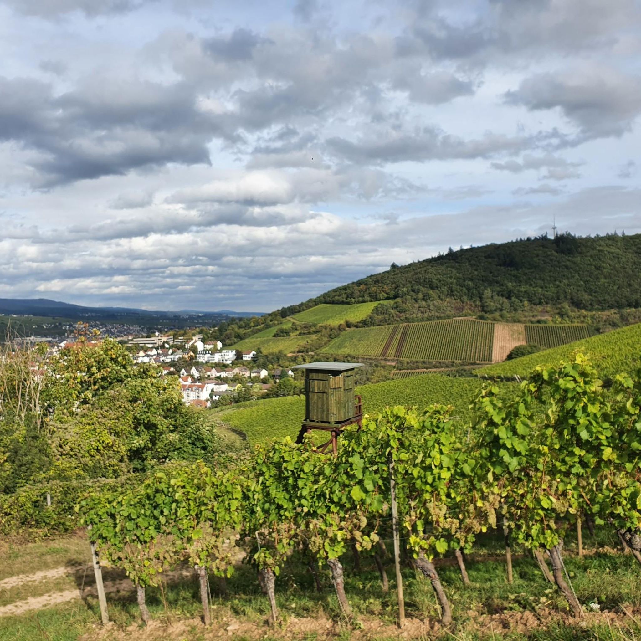
MTB Trails around Weiler bei Bingen
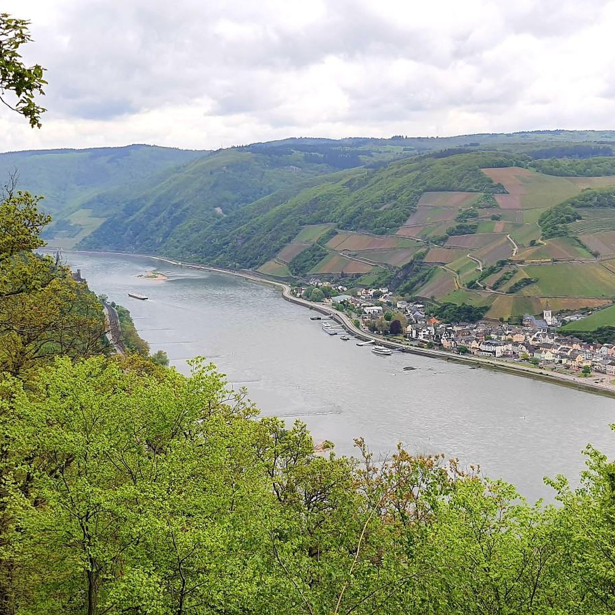
Cycling around Weiler bei Bingen
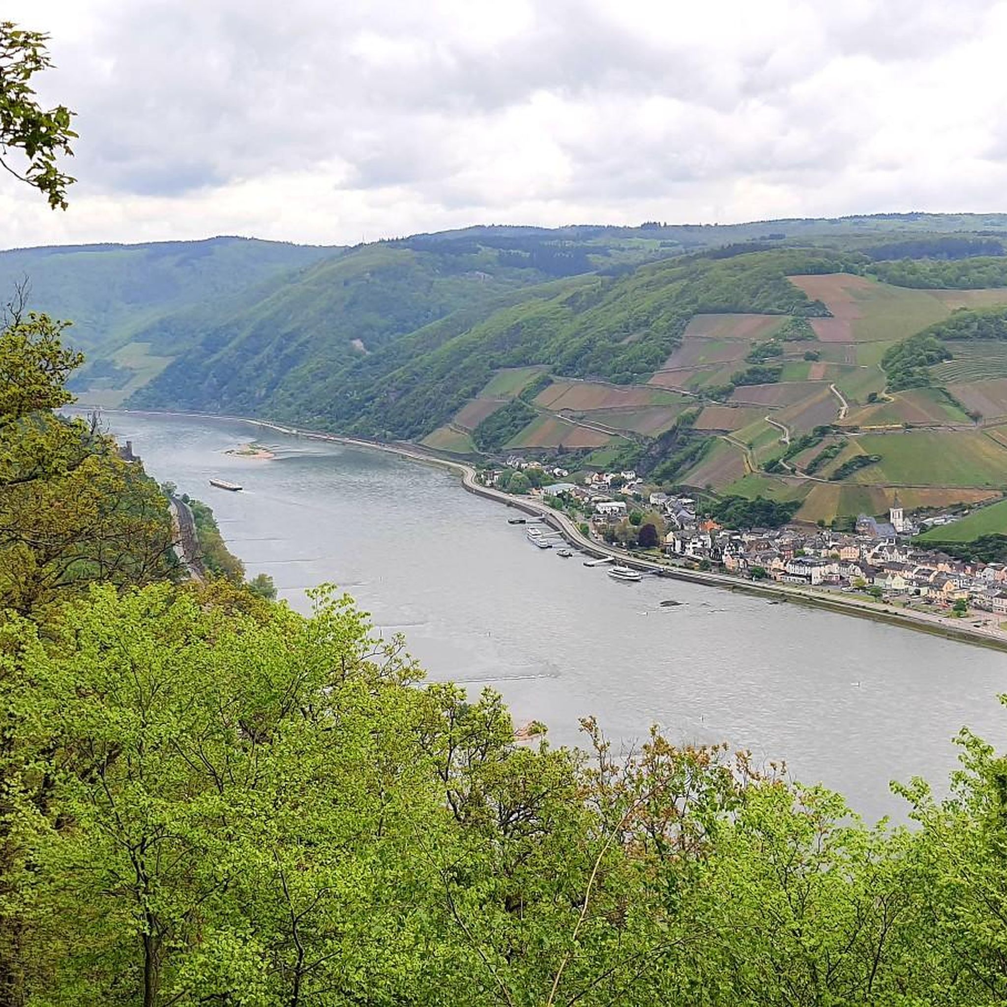
Running Trails around Weiler bei Bingen
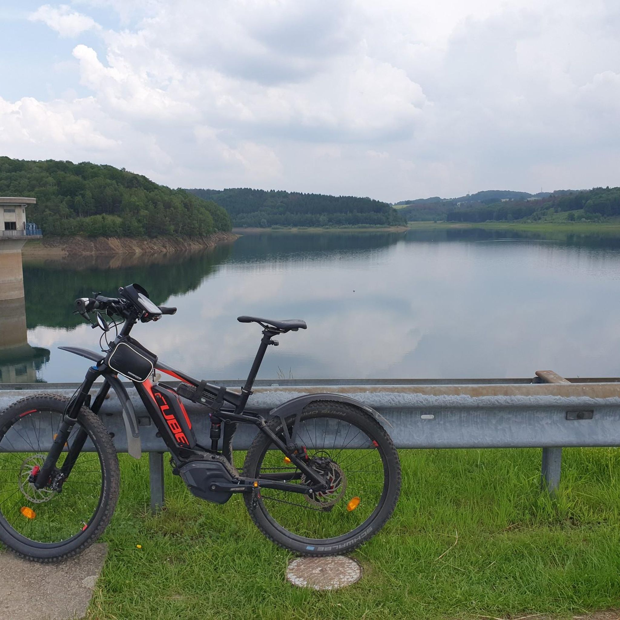
Gravel biking around Weiler bei Bingen
Other adventures around Weiler bei Bingen

Tips from the Community


As the name suggests, it was the westernmost location of the Franconians in the past. But riding up it on a mountain bike is an experience. 550 meters of elevation gain in one go from Niederheimbach. It's also ideal for runners for a good workout. And also for hikers for the unique views of and across the Rhine.
0
0

beautiful vantage point for a winter hike in the snow
0
0
It's only 600 meters but it can be cold in winter 🥶
0
0

Frequently Asked Questions
What are some of the most popular viewpoints around Weiler bei Bingen?
The region offers several highly-rated viewpoints. The Hochsteinchen lookout tower is a popular choice, featuring a steel observation tower from which you can see the Hunsrück, Middle Rhine Valley, and Taunus. Another favorite is Weissenfels Viewpoint, known for its peaceful atmosphere and views towards Bad Kreuznach and Donnersberg. Additionally, the Ohligsberg shelter with views over the Rhine Valley provides an unobstructed vista to the east over the Binger Forest and the Middle Rhine Valley.
Are there any mountain peaks with historical significance or unique structures?
Yes, the Salzkopf Tower is a notable peak with a tower that, after climbing about 100 steps, offers extensive views of the Hunsrück, Taunus, and the Middle Rhine Valley. The tower is roofed, allowing for enjoyment even in rain. Further afield, the Niederwalddenkmal, accessible from the Bingen area, is an imposing monument with the Germania statue, offering fantastic panoramic views over the Rhine. Nearby, the Rossel castle ruins, built in 1774, also provide wonderful views of the Nahe estuary and the Binger Loch.
What kind of hiking trails can I find near these mountain peaks?
The Binger Forest, where many of these elevated points are located, features numerous hiking trails. You can find routes like the "Rhein-Nahe-Schleife" and the "Baumgeister-Tour," which offer unique perspectives with wide views over the Rhine and Nahe river valleys. The "Baumgeister-Tour" is particularly unique for its carved tree spirits along the path. For more detailed hiking options, explore the Hiking around Weiler bei Bingen guide.
Are there family-friendly options for exploring the elevated areas?
While specific 'family-friendly' categories are not always explicitly tagged for every peak, many trails in the Binger Forest are suitable for various fitness levels. The Bingen Forest Adventure Trail is a 4.5-kilometer circular path designed to highlight the area's natural beauty and history, which can be a good option for families. The Weissenfels Viewpoint is also noted as being family-friendly.
What are the difficulty levels of the hikes to these peaks?
The difficulty levels vary. For instance, a hike encompassing Druidenberg and Aussichtspunkt Elisenhöhe, starting from Weiler bei Bingen, is considered moderately difficult, covering approximately 9.61 km with an ascent of 435 meters. Many routes are well-maintained and cater to different fitness levels, from easy walks to more challenging ascents within the Binger Forest.
What outdoor activities, besides hiking, are available in the region?
Beyond hiking, the area around Weiler bei Bingen is excellent for cycling. You can find numerous routes for road cycling and gravel biking. For road cycling, consider routes like the "Old Customs House, Bingen – Rhine-Nahe-Eck loop." Gravel biking offers options such as the "Niederwald monument – Rossel Ruins loop." Discover more options in the Road Cycling Routes around Weiler bei Bingen and Gravel biking around Weiler bei Bingen guides.
What natural features can I expect to see from these elevated points?
From the various elevated points, you can expect breathtaking panoramic views over the Rhine and Nahe rivers, vineyards, and the extensive Binger Forest. The region's hilly landscape provides a 'mountain-like' experience, showcasing diverse mixed forests and wide river valleys. Some viewpoints, like Prinzenkopf, offer vistas towards Assmannshausen and Rüdesheim, providing views of the Rhine in both directions.
Is there a highest point or a significant summit in the broader region?
While the immediate area around Weiler bei Bingen features significant elevations, the Kalte Herberge, at 619 meters, is identified as the highest mountain in the Rheingau region. It provides expansive views, making it a significant summit for those seeking the highest elevations in the broader area.
What do visitors enjoy most about the mountain peaks and viewpoints near Weiler bei Bingen?
Visitors frequently praise the stunning panoramic views, especially over the Rhine and Nahe river valleys. The peaceful atmosphere at spots like Weissenfels Viewpoint and the opportunity to enjoy nature are highly valued. Many also appreciate the well-maintained trails and the unique features, such as the Hochsteinchen lookout tower and the carved tree spirits on the "Baumgeister-Tour" in the Binger Forest.
Are there any lesser-known or 'hidden gem' elevated spots worth visiting?
While not a 'hidden gem' in the sense of being unknown, the Franzosenkopf, located in the middle of the Binger Forest, offers a more secluded experience. While the summit itself is marked by a stone stele, the surrounding deforested parcels provide glimpses of the Middle Rhine Valley, and the large windthrow area east of the summit is considered interesting by visitors. It's ideal for those who enjoy sprinting mountains and exploring many beautiful trails in the vicinity.
What is the average and maximum elevation in the Weiler bei Bingen area?
The municipality of Weiler bei Bingen itself has an average elevation of 261 meters. Within its bounds, the maximum elevation reaches up to 612 meters, offering a significant 'mountain-like' experience despite not being characterized by towering alpine peaks.
Most popular routes around Weiler bei Bingen
Most popular attractions around Weiler bei Bingen

Get inspired with the komoot mobile app


Explore more
See even more amazing summits around Weiler bei Bingen with these guides:
