The best road cycling routes in Angochagua
4.6
(14)
223
riders
13
rides
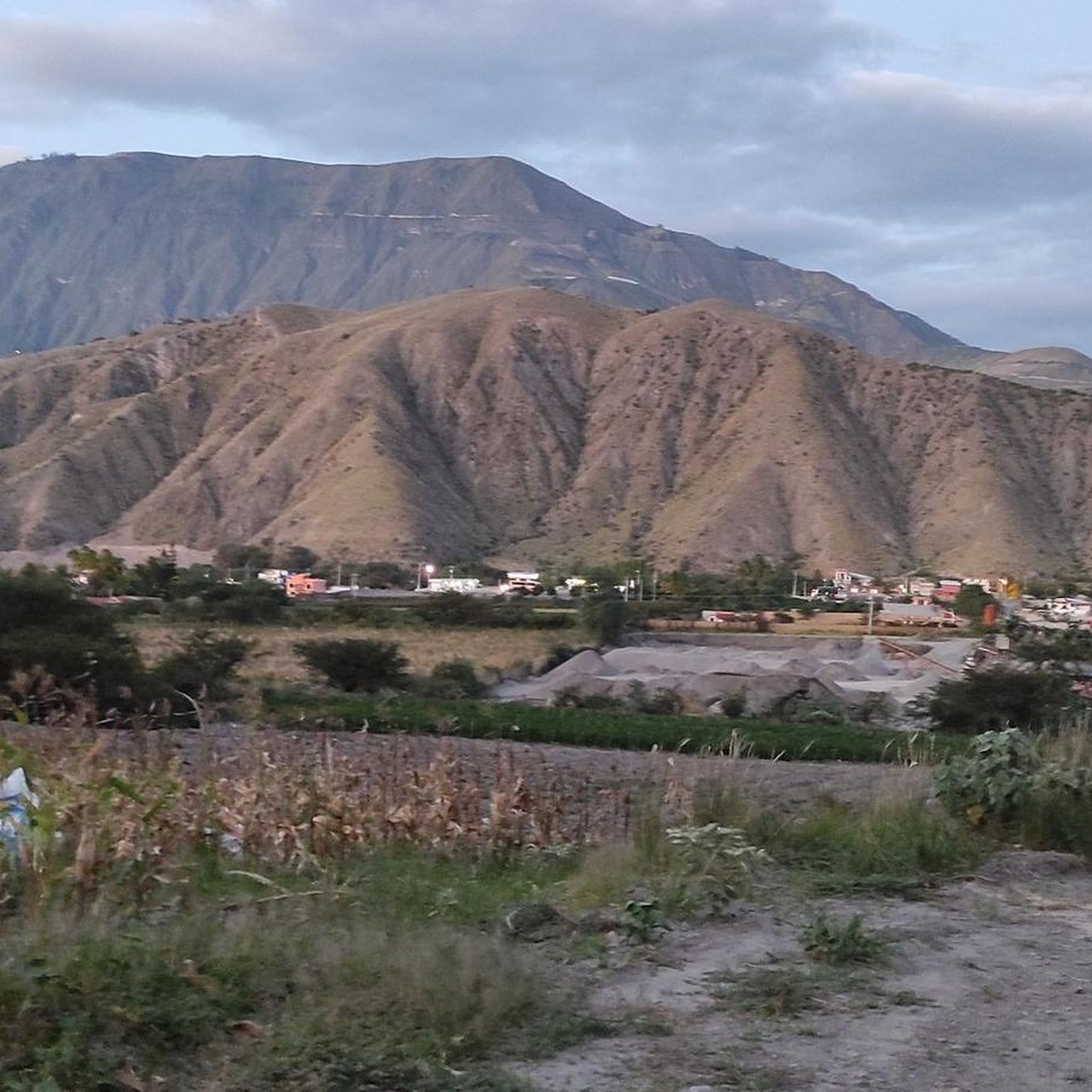
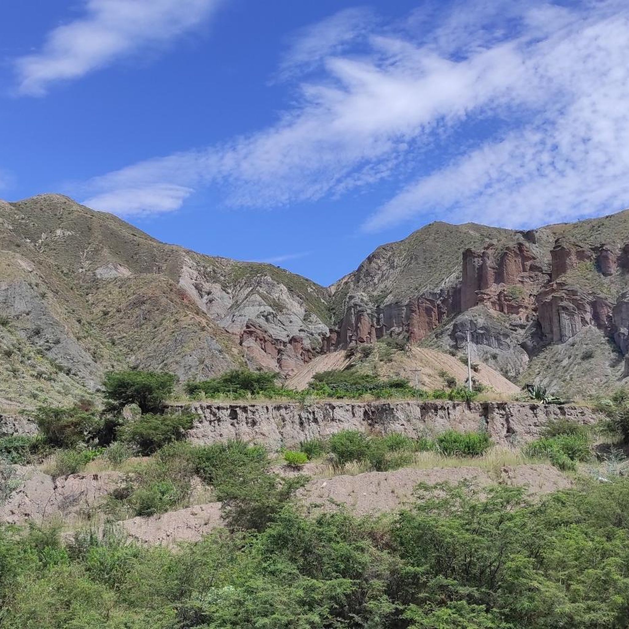
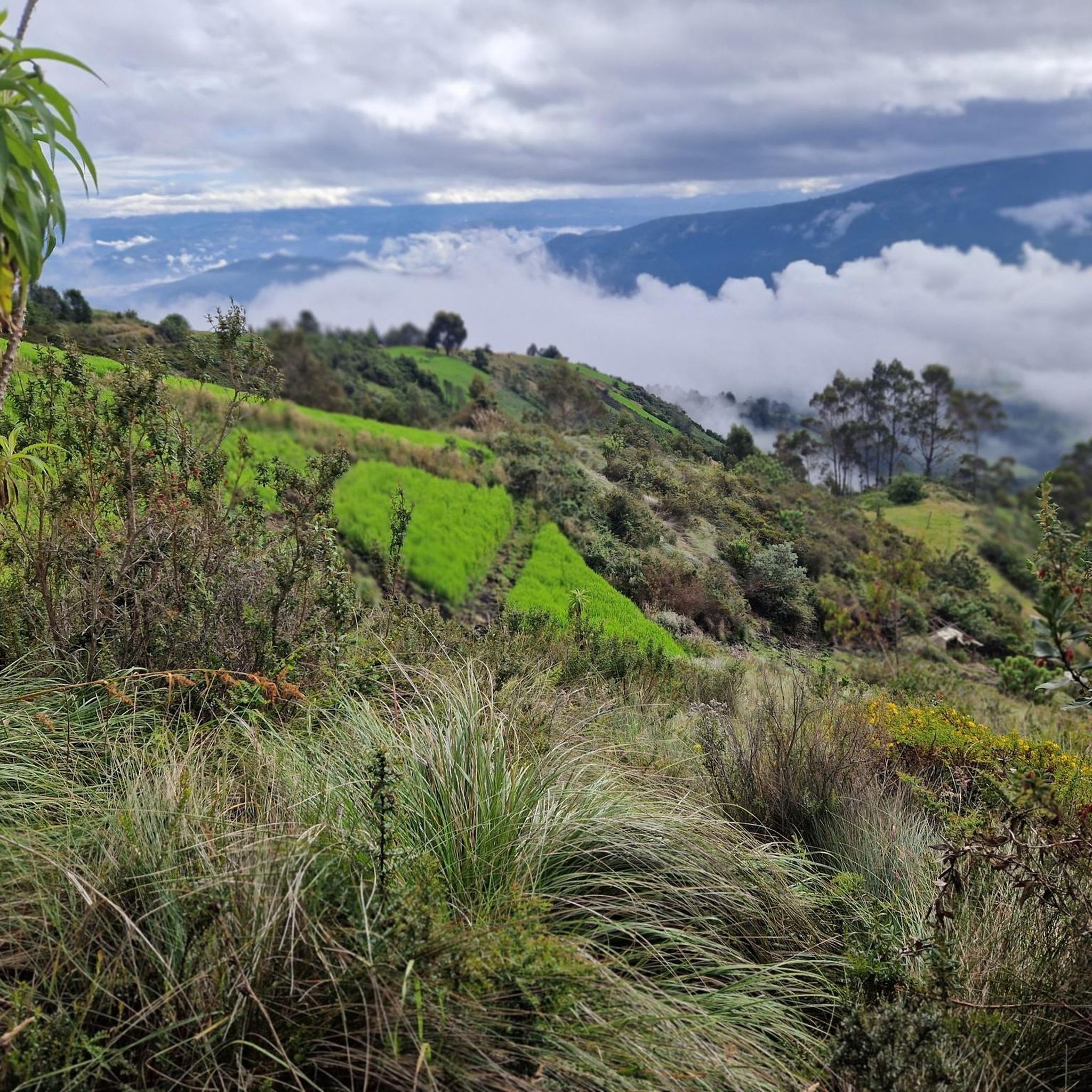
Road cycling in Angochagua, Ecuador, is characterized by its dramatic Andean landscapes and diverse terrain within the Imbabura Geopark. The region features extensive mountainous areas, offering views of peaks like Punta Loma and Jacapungo, and is near Volcán Cayambe. Cyclists can expect significant elevation changes and high-altitude passes, traversing a variety of ecosystems from páramos to cultivated valleys. The routes provide panoramic views of agricultural fields and mountains, making for challenging and scenic rides.
Best road cycling routes in Angochagua
…Last updated: July 11, 2026
4.0
(4)
29
riders
52.4km
02:51
950m
950m
Hard road ride. Very good fitness required. Mostly well-paved surfaces and easy to ride.
29
riders
122km
06:51
2,590m
2,590m
Hard road ride. Very good fitness required. Mostly well-paved surfaces and easy to ride.

Sign up for free
5.0
(1)
12
riders
40.4km
02:24
650m
650m
Moderate road ride. Good fitness required. Mostly well-paved surfaces and easy to ride.
10
riders
73.8km
04:20
1,610m
1,610m
Hard road ride. Very good fitness required. Mostly well-paved surfaces and easy to ride.
5.0
(1)
8
riders
20.5km
01:25
510m
510m
Moderate road ride. Good fitness required. Some segments of this route may be unpaved and difficult to ride.
Get access to more routes and recommendations from other explorers.
Sign up for free
Already have an account?
Our route recommendations are based on thousands of hikes, rides, and runs completed by other people on komoot.
Start today with a free account
Your next adventure awaits.
Login or Signup
Popular around Angochagua
Tips from the Community

lower sprockets and enjoy a very fun climb
0
0

This stretch of asphalt road connects Conaqui with Imantag. The road is quiet and passes through cultivated fields and hills. A very picturesque panorama.
0
0
This incredible suspension bridge allows you to cross the Mira River. Pedaling on the moving wooden beams is truly exciting, even more exciting is thinking that the locals cross it with heavy motor vehicles!
0
0

Keep your head down and pedal with your heart💙
0
0

Frequently Asked Questions
What is the general difficulty level of road cycling routes in Angochagua?
Road cycling in Angochagua is known for its challenging Andean terrain. Most routes are classified as difficult, with 7 out of 13 routes falling into this category. There are also 6 moderate routes available, offering options for experienced cyclists seeking significant elevation changes and high-altitude passes.
How many road cycling routes are available in Angochagua?
There are 13 road cycling routes available in Angochagua, offering a variety of distances and challenges. These routes are highly rated by the komoot community, with an average score of 4.7 stars.
What kind of terrain can I expect on road cycling routes in Angochagua?
Angochagua's road cycling routes traverse dramatic Andean landscapes within the Imbabura Geopark. You can expect extensive mountainous areas with views of peaks like Punta Loma and Jacapungo, and proximity to Volcán Cayambe. Routes often feature significant elevation changes, high-altitude passes, and diverse ecosystems ranging from high Andean páramos to cultivated valleys. Panoramic views of agricultural fields and mountains are common.
Are there any loop road cycling routes in Angochagua?
Yes, many of the road cycling routes in Angochagua are designed as loops, allowing you to start and finish in the same location. Examples include the challenging Road to Imantag – Highway to Ibarra and Alamor loop from Ibarra, the extensive Beautiful Views loop from Ibarra, and the moderate Landscapes loop from Yacucalle.
What scenic views can I expect while road cycling in Angochagua?
Road cycling in Angochagua offers breathtaking Andean vistas. You'll encounter panoramic views of valleys, agricultural fields, and mountains, with glimpses of snow-capped volcanoes like Cayambe. The region also features picturesque lagoons, some with turquoise waters, and viewpoints such as the 'Mirador Muchanakun Rumi' (the stones that kiss), providing expansive beauty.
What cultural attractions can I explore near the road cycling routes in Angochagua?
Beyond the natural beauty, Angochagua offers rich cultural experiences. The town of Zuleta, within Angochagua, is known for its hand-embroidery workshops, traditional saddlery, and the Casa Carangue Museum, which delves into local history and archaeology. Engaging with local indigenous communities and their traditions is a significant part of the visitor experience.
What are the road conditions like for cycling in Angochagua?
The Imbabura province, where Angochagua is located, has seen improvements in its road networks, providing good conditions for cycling. However, given the mountainous terrain and high-altitude passes, cyclists should expect varied road surfaces and be prepared for challenging climbs and descents.
What is the best time of year for road biking in Angochagua?
While specific seasonal details for Angochagua are not provided, Ecuador's Andean region generally experiences two main seasons: a dry season (roughly June to September) and a wet season (October to May). The dry season typically offers more stable weather and clearer views, which might be preferable for high-altitude road cycling.
Are there any less crowded road cycling routes in Angochagua?
While Angochagua is a recognized destination for its natural beauty, many of its routes offer a sense of immersion in nature away from large crowds. Routes like the Area Verde loop from Ibarra or the Landscapes loop from Yacucalle provide opportunities to experience the region's beauty on less frequented paths.
What do other road cyclists enjoy most about road cycling in Angochagua?
The komoot community highly rates road cycling in Angochagua, with an average score of 4.7 stars from 11 reviews. Cyclists frequently praise the dramatic Andean landscapes, the challenging yet rewarding terrain, and the panoramic views of mountains and valleys. The opportunity to experience significant elevation changes and high-altitude passes is also a major draw.
Are there any moderate road cycling routes suitable for those looking for a less intense challenge?
Yes, Angochagua offers several moderate road cycling routes. For instance, the Landscapes loop from Yacucalle is a moderate 20.5 km route with manageable elevation gains. Another good option is the Area Verde loop from Ibarra, a moderate 38.4 km route, both providing beautiful scenery without the extreme demands of the difficult trails.
Can I find places to eat or drink along the road cycling routes in Angochagua?
Angochagua's focus on sustainable and rural tourism means you can find authentic experiences, including local gastronomy. While specific cafes or restaurants directly on every route are not detailed, the region's towns and villages, such as Zuleta, offer opportunities to enjoy local cuisine and support communities. Planning your route to pass through these areas is recommended.
Most popular routes in Angochagua

Get inspired with the komoot mobile app


Explore more
Browse the best Road cycling routes in other regions.
