The best road cycling routes in Quiroga
4.5
(4)
98
riders
5
rides
Road cycling in Quiroga, a municipality in Lugo, Spain, offers diverse terrain within its natural landscape. The region is characterized by rolling hills, river valleys, and agricultural areas, providing varied backdrops for rides. Quiroga is also part of the Camino de Invierno, a long-distance route that traverses different Galician provinces. The area's geography includes elements of the Ribeira Sacra, known for its dramatic canyons and terraced vineyards, which contribute to scenic road cycling routes.
Best road cycling routes in Quiroga
…Last updated: July 11, 2026
16
riders
58.8km
03:39
1,330m
1,330m
Hard road ride. Very good fitness required. Some segments of this route may be unpaved and difficult to ride.
6
riders
25.9km
01:25
370m
370m
Moderate road ride. Good fitness required. Mostly well-paved surfaces and easy to ride.

Sign up for free
5
riders
22.2km
01:13
350m
350m
Moderate road ride. Good fitness required. Mostly well-paved surfaces and easy to ride.
5
riders
72.8km
03:53
1,030m
1,030m
Hard road ride. Very good fitness required. Some segments of this route may be unpaved and difficult to ride.
3
riders
30.7km
01:40
350m
350m
Moderate road ride. Good fitness required. Some segments of this route may be unpaved and difficult to ride.
Our route recommendations are based on thousands of hikes, rides, and runs completed by other people on komoot.
Start today with a free account
Your next adventure awaits.
Login or Signup
Popular around Quiroga
Tips from the Community

The town of Otavalo is located at 2,532 meters above sea level. It offers many services and is perfect for a few days' break. Worth visiting is the Mercado Municipal 24 de Mayo which offers a wide choice of fresh local products and, above all, a food court in which to refresh yourself!
2
0
This stretch of asphalt road connects Conaqui with Imantag. The road is quiet and passes through cultivated fields and hills. A very picturesque panorama.
0
0

Frequently Asked Questions
What kind of terrain can I expect when road cycling in Quiroga?
Quiroga offers a diverse landscape for road cycling, characterized by rolling hills, scenic river valleys, and agricultural areas. The region also features elements of the Ribeira Sacra, known for its dramatic canyons and terraced vineyards, providing varied and picturesque backdrops for your rides.
Are there road cycling routes suitable for beginners in Quiroga?
The road cycling routes in Quiroga are generally categorized as moderate to difficult. While there are no routes specifically listed as 'easy,' moderate options like the La Compañía loop from Otavalo or the Ilumán Bridge Crossing loop from Otavalo might be suitable for those with some cycling experience looking for a less strenuous ride.
What is the best time of year to go road cycling in Quiroga?
Road cycling in Quiroga is popular during various times of the year, with users frequently engaging in rides in February and August. These months likely offer favorable conditions for exploring the region's diverse terrain.
Are there challenging road cycling routes for experienced riders?
Yes, Quiroga offers several challenging routes for advanced road cyclists. For instance, the Highway to Ibarra and Alamor – Beautiful Views loop from Andrade Marín is a difficult 62.7-mile (100.9 km) route with significant elevation gain, offering extensive views. Another demanding option is the Highway to Ibarra and Alamor loop from Cotacachi, a 36.5-mile (58.8 km) path.
What are some notable natural attractions I can see near the road cycling routes?
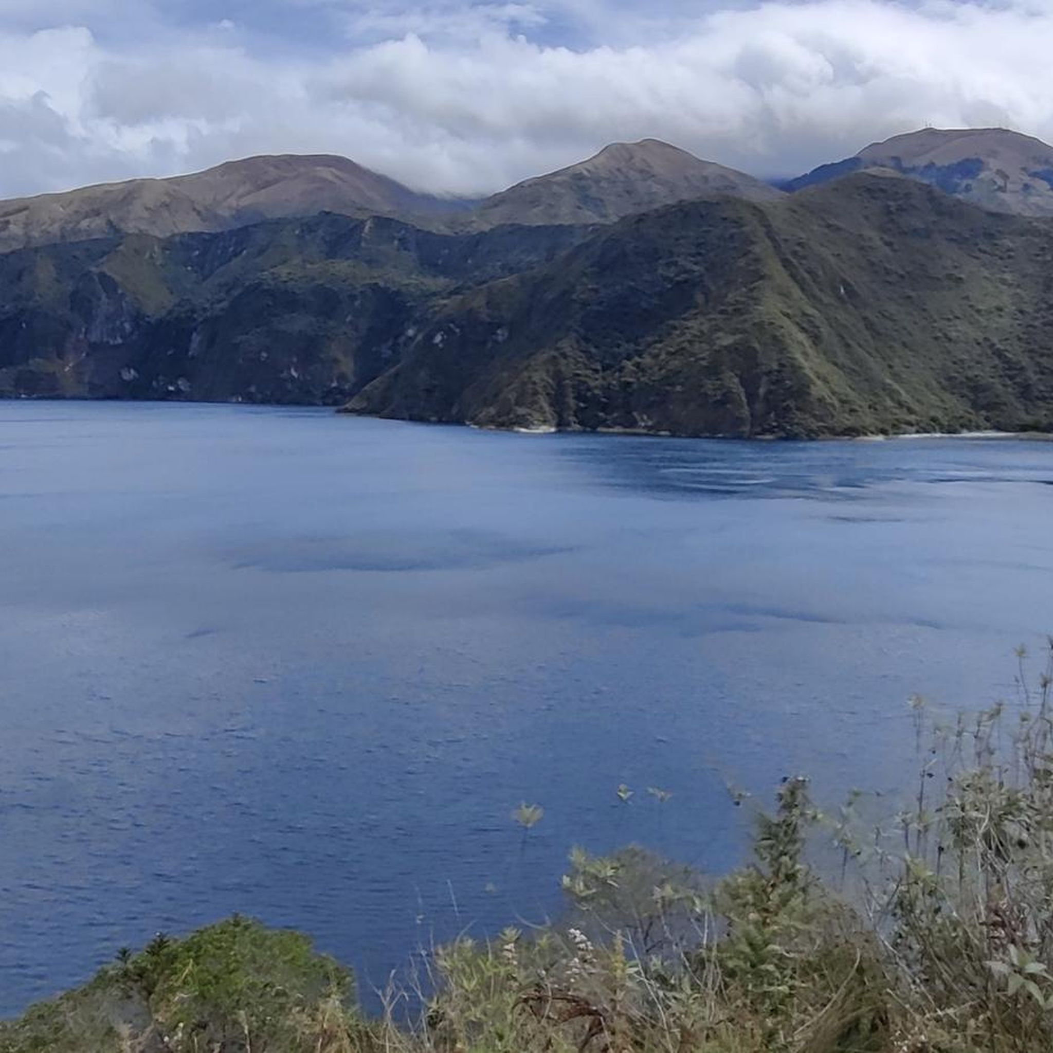
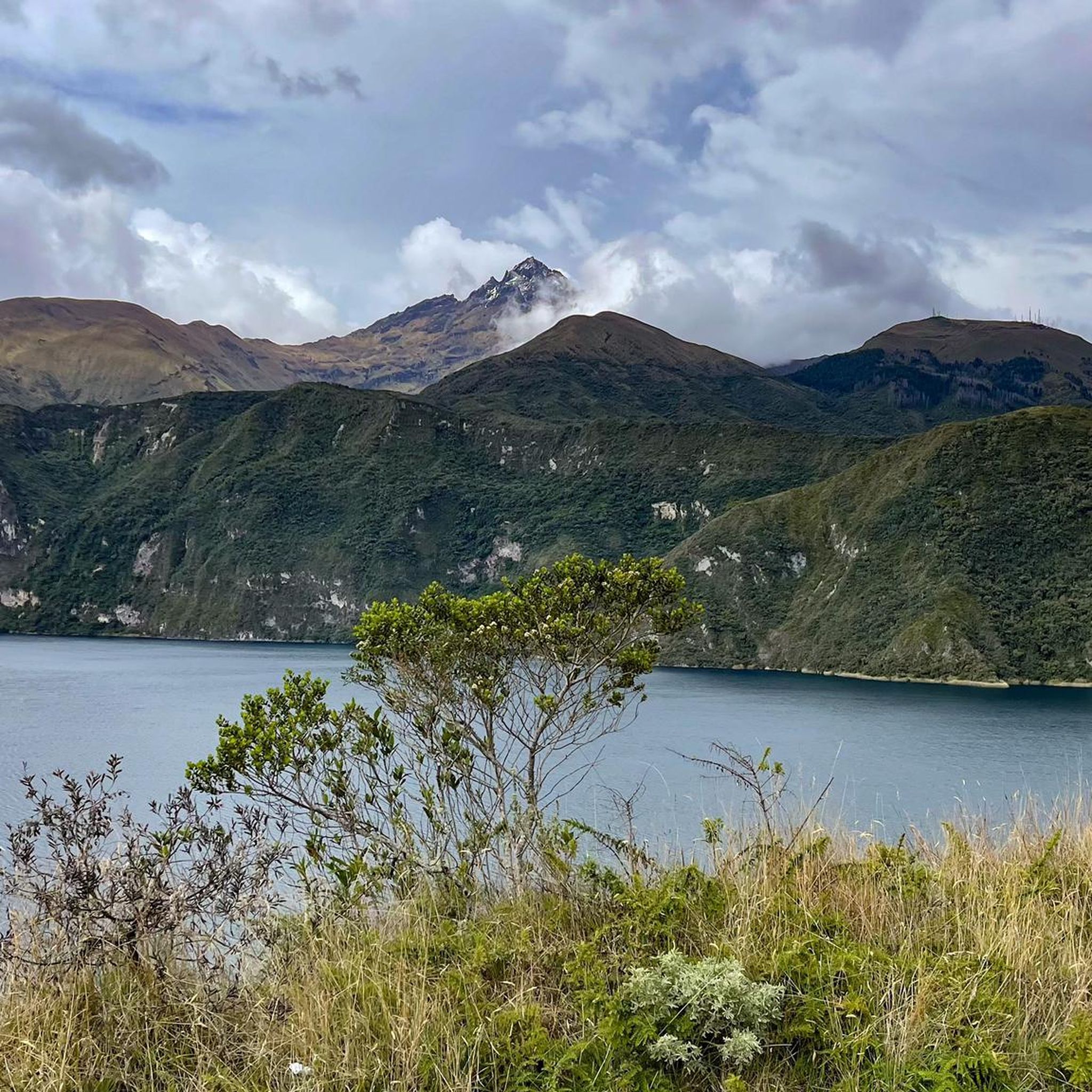
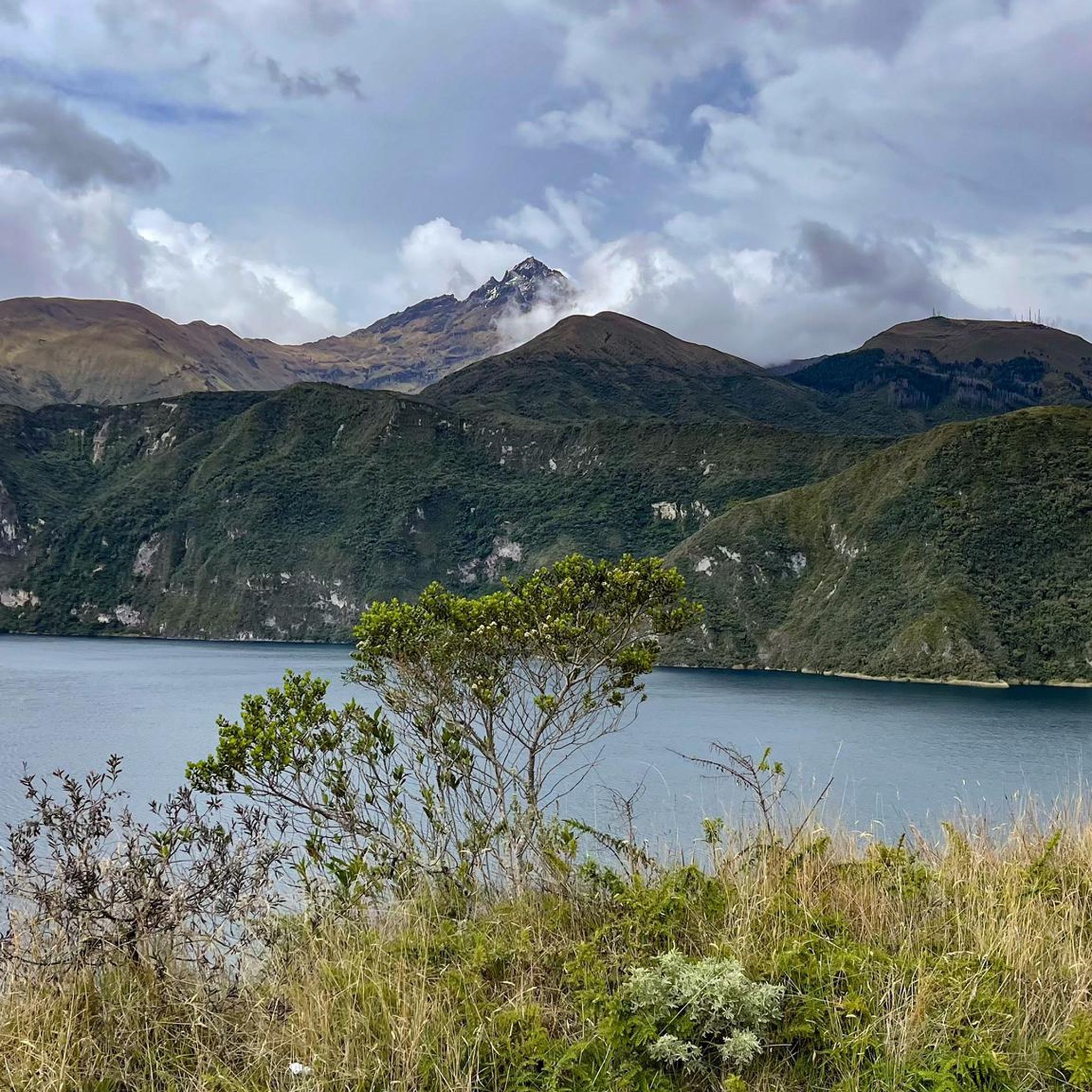
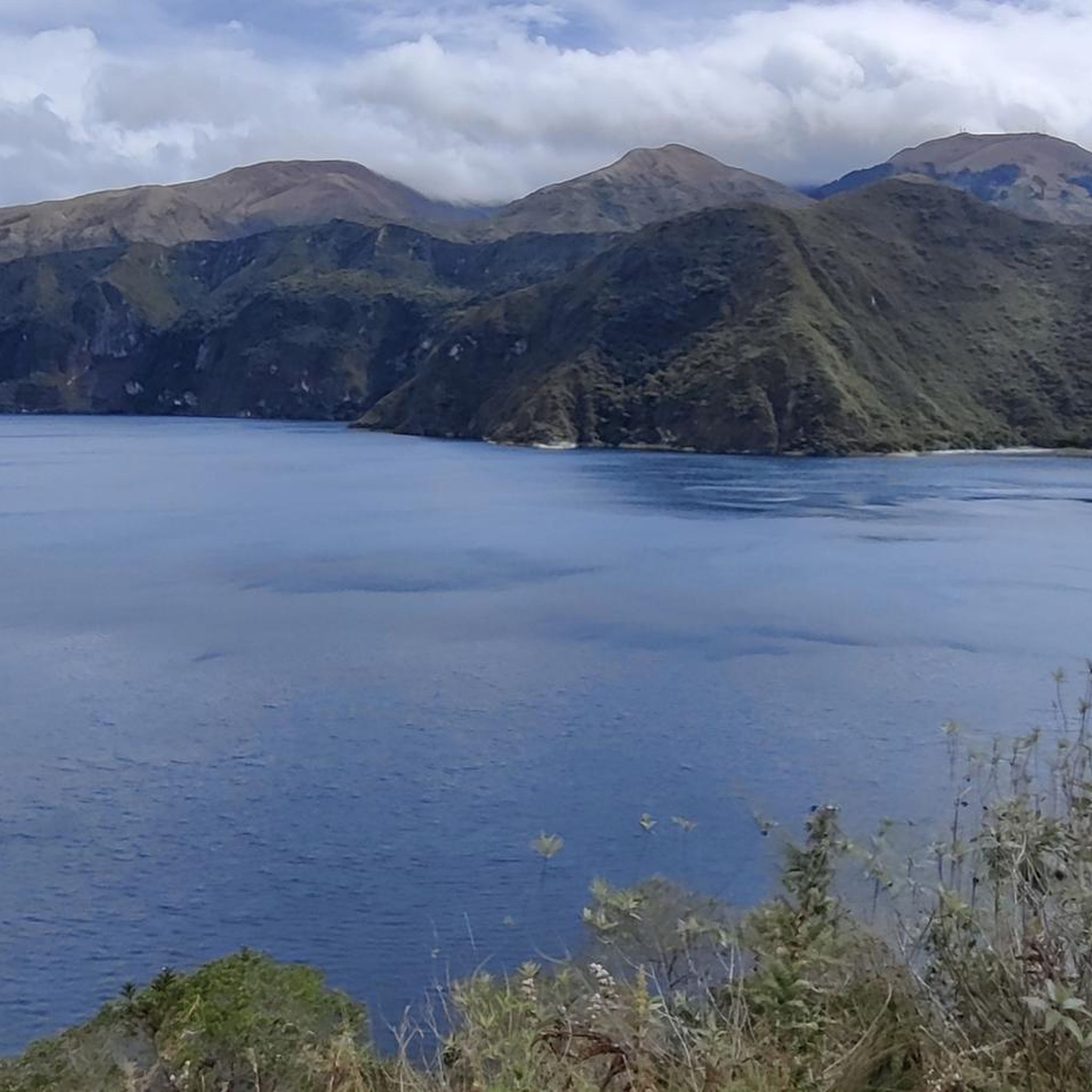
While cycling in Quiroga, you can explore several natural attractions. Highlights include the stunning Peguche Waterfall, the serene San Pablo Lake, and the Wildflower Path in Reserva Ecológica Cotacachi-Cayapas. You might also encounter the Cuicocha Lagoon Loop Trailhead, which offers beautiful scenery.
Are there any cultural or historical landmarks along the cycling paths?
Yes, beyond natural beauty, Quiroga's region is rich in cultural heritage. The area is part of the 'Camino de Invierno' (Winter Way), an official route of the Camino de Santiago. You can also find points of interest like the Facchawahua Stone Sculptures and Wish Fountain, and the El Lechero Sacred Tree and Viewpoint.
How long do road cycling routes in Quiroga typically take to complete?
The duration of road cycling routes in Quiroga varies depending on their length and difficulty. For example, a moderate route like the Ilumán Bridge Crossing loop from Otavalo typically takes about 1 hour 47 minutes, while a difficult route such as the Highway to Ibarra and Alamor – Beautiful Views loop from Andrade Marín can take around 5 hours 36 minutes.
What do other road cyclists say about their experience in Quiroga?
The road cycling routes in Quiroga are highly rated by the komoot community, with an average score of 4.5 stars from over 4 reviews. Cyclists often praise the varied terrain, from rolling hills to river valleys, and the scenic backdrops provided by the agricultural areas and elements of the Ribeira Sacra.
Are there any loop routes available for road cycling in Quiroga?
Yes, many of the road cycling routes in Quiroga are designed as loops, allowing you to start and finish in the same location. Examples include the challenging Highway to Ibarra and Alamor – Beautiful Views loop from Andrade Marín and the moderate La Compañía loop from Otavalo.
Is Quiroga part of any long-distance cycling routes?
Yes, Quiroga is notably part of the 'Camino de Invierno' (Winter Way), which is an official route of the Camino de Santiago. This 275 km path offers an alternative route through Galicia, passing through Quiroga and connecting various provinces, making it suitable for long-distance touring.
What kind of scenery can I expect on the road cycling routes?
The routes in Quiroga offer a rich variety of scenery. You'll cycle through areas characterized by rolling hills and lush river valleys. The region's agricultural landscapes provide a serene backdrop, and you'll also encounter the dramatic canyons and terraced vineyards typical of the Ribeira Sacra.
Most popular routes in Quiroga
Most popular attractions in Quiroga

Get inspired with the komoot mobile app


Explore more
Browse the best Road cycling routes in other regions.
