The best road cycling routes in San Fco. De Natabuela
4.6
(18)
312
riders
17
rides
Road cycling routes in San Fco. De Natabuela traverse a landscape characterized by lush greenery and rolling hills, offering views of the Andes mountains. The terrain includes varied elevations, with both challenging ascents and rewarding descents. Routes often wind through forests and alongside rivers, providing diverse scenery for road cyclists.
Best road cycling routes in San Fco. De Natabuela
- The most popular road cycling route is Highway to Ibarra and Alamor – Beautiful Views loop from Andrade Marín, a…
Last updated: July 11, 2026
4.5
(4)
63
riders
101km
05:40
1,980m
1,970m
Hard road ride. Very good fitness required. Mostly well-paved surfaces and easy to ride.
4.0
(4)
29
riders
52.4km
02:51
950m
950m
Hard road ride. Very good fitness required. Mostly well-paved surfaces and easy to ride.

Sign up for free
29
riders
122km
06:51
2,590m
2,590m
Hard road ride. Very good fitness required. Mostly well-paved surfaces and easy to ride.
5.0
(1)
12
riders
40.4km
02:24
650m
650m
Moderate road ride. Good fitness required. Mostly well-paved surfaces and easy to ride.
10
riders
73.8km
04:20
1,610m
1,610m
Hard road ride. Very good fitness required. Mostly well-paved surfaces and easy to ride.
Get access to more routes and recommendations from other explorers.
Sign up for free
Already have an account?
Our route recommendations are based on thousands of hikes, rides, and runs completed by other people on komoot.
Start today with a free account
Your next adventure awaits.
Login or Signup
Popular around San Fco. De Natabuela


Tips from the Community

lower sprockets and enjoy a very fun climb
0
0

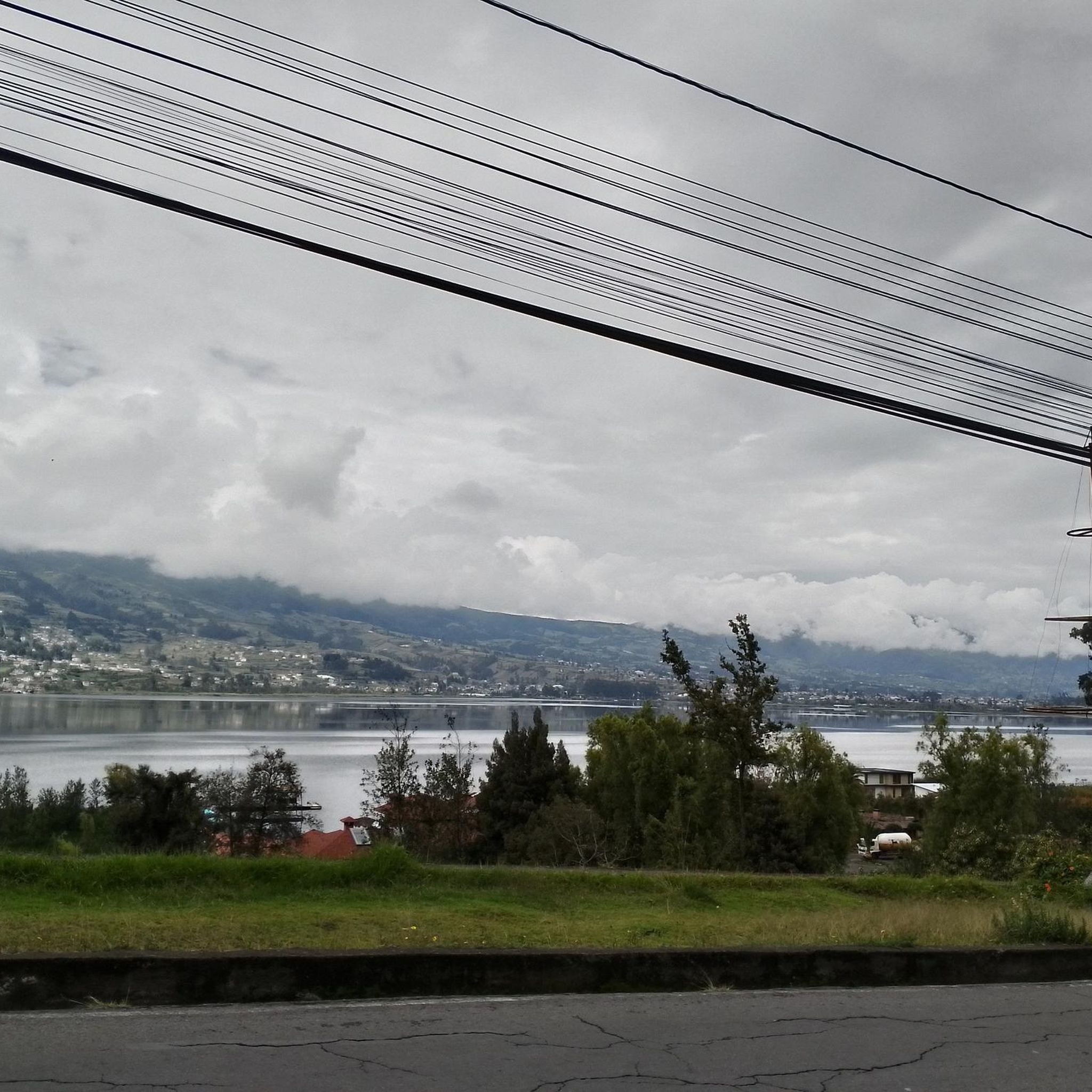
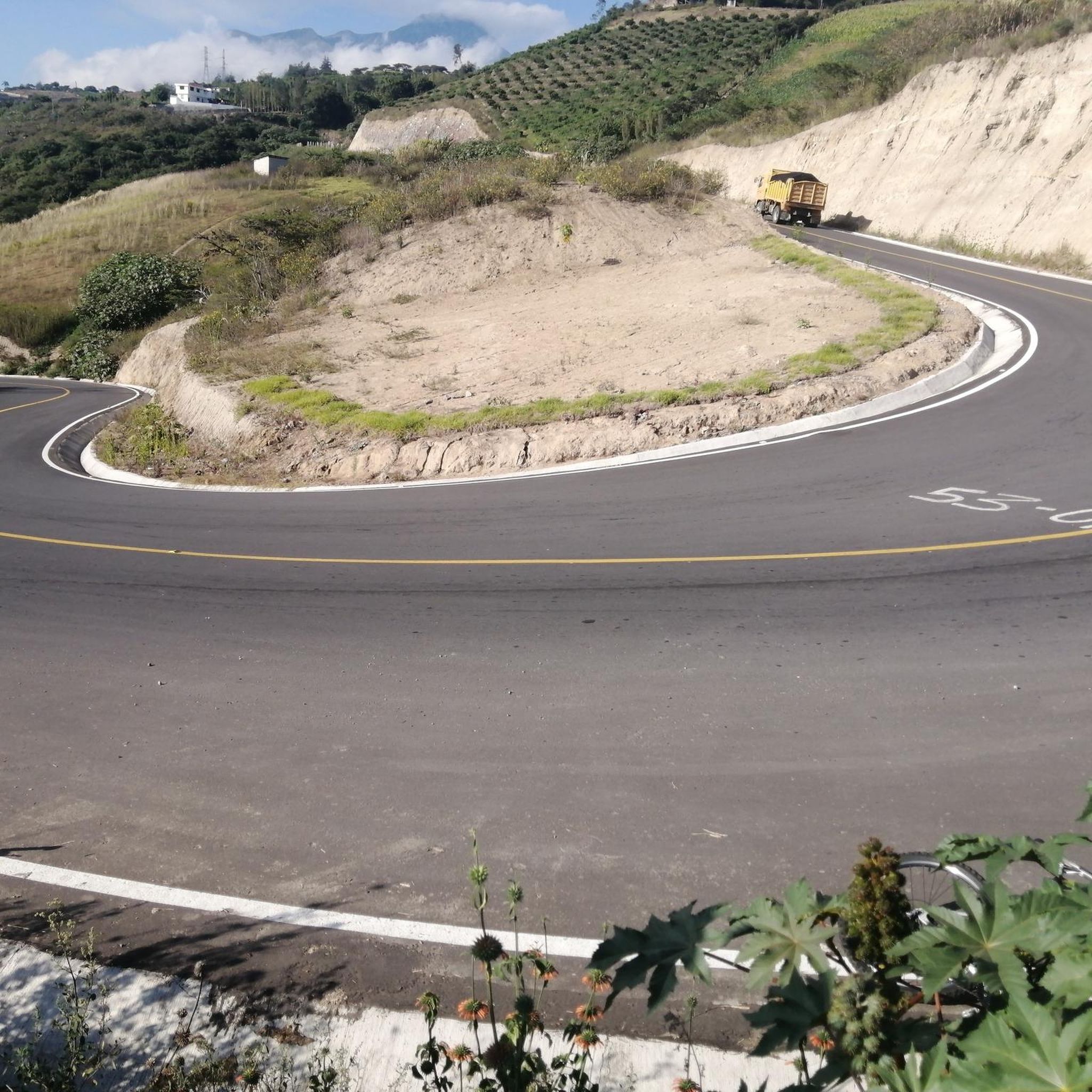
This stretch of asphalt road connects Conaqui with Imantag. The road is quiet and passes through cultivated fields and hills. A very picturesque panorama.
0
0
This incredible suspension bridge allows you to cross the Mira River. Pedaling on the moving wooden beams is truly exciting, even more exciting is thinking that the locals cross it with heavy motor vehicles!
0
0

Keep your head down and pedal with your heart💙
0
0

Frequently Asked Questions
How many road cycling routes are available in San Fco. De Natabuela?
There are over 15 road cycling routes available in San Fco. De Natabuela, offering a variety of experiences for different skill levels. The komoot community has explored these routes over 290 times, highlighting their popularity.
What kind of terrain can I expect when road cycling in San Fco. De Natabuela?
Road cycling in San Fco. De Natabuela features diverse terrain, from lush greenery and rolling hills to challenging ascents and rewarding descents. You'll often find routes winding through forests and alongside rivers, all set against the backdrop of the majestic Andes mountains.
Are there routes suitable for beginners or less experienced road cyclists?
While many routes in San Fco. De Natabuela are considered difficult, there are several moderate options available. For example, the Landscapes loop from Yacucalle is a moderate 12.7-mile (20.5 km) trail that provides a good introduction to the region's varied landscapes.
What are some notable landmarks or attractions I can see along the road cycling routes?
The region offers several points of interest. You might encounter the scenic Road to Imantag, or explore natural wonders like Peguche Waterfall and Yahuarcocha Lake. The Facchawahua Stone Sculptures and Wish Fountain also offer a unique cultural stop.
What do other road cyclists enjoy most about road cycling in San Fco. De Natabuela?
The area is highly rated by the komoot community, with an average score of 4.6 stars from over 15 reviews. Cyclists often praise the breathtaking views of the Andes mountains, the diverse natural settings, and the mix of challenging ascents and rewarding descents.
Are there any long-distance or challenging road cycling routes for experienced riders?
Yes, experienced riders will find several challenging routes. The Highway to Ibarra and Alamor – Beautiful Views loop from Andrade Marín is a difficult 62.7-mile (100.9 km) route with significant elevation gain. Another demanding option is the Beautiful Views loop from Ibarra, spanning over 75 miles (121 km) with substantial climbs.
What is the best time of year for road cycling in San Fco. De Natabuela?
While specific seasonal details are not provided, the region's location in Ecuador's highlands suggests a generally mild climate. It's always advisable to check local weather forecasts before your ride, especially concerning rainfall, as routes often wind through forests and alongside rivers.
Are there options for circular road cycling routes?
Yes, many of the routes in San Fco. De Natabuela are designed as loops, allowing you to start and finish at the same point. Examples include the Road to Imantag – Highway to Ibarra and Alamor loop from Ibarra and The Curve loop from Ibarra.
Can I find family-friendly road cycling routes in the area?
While the guide primarily highlights moderate to difficult routes, the varied terrain and scenic beauty mean that shorter, less strenuous sections of roads might be suitable for families. It's recommended to review the route profiles carefully for elevation and distance to determine suitability for younger or less experienced family members.
What are the typical distances and elevation gains for road cycling routes here?
Routes vary significantly. You can find shorter moderate loops like the Landscapes loop from Yacucalle at 12.7 miles (20.5 km) with around 500 meters of elevation gain. Longer, difficult routes, such as the Highway to Ibarra and Alamor – Beautiful Views loop from Andrade Marín, can span over 60 miles (100 km) with nearly 2,000 meters of climbing.
Is San Fco. De Natabuela easily accessible for cyclists using public transport?
The region's accessibility from major cities like Ibarra or Otavalo makes it a convenient base for visitors. While specific public transport options for cyclists are not detailed, these larger towns often have connections that might accommodate bicycles, making it possible to reach starting points for routes.
Most popular attractions in San Fco. De Natabuela

Get inspired with the komoot mobile app


Explore more
Browse the best Road cycling routes in other regions.
