The best road cycling routes in Pujili
4.8
(8)
123
riders
18
rides
Road cycling in Pujili offers routes through the diverse Andean landscapes of Ecuador's Cotopaxi Province. The region is characterized by mountainous terrain, with routes often providing views of towering volcanic peaks like Cotopaxi and Illinizas, and deep valleys such as the Toachi Canyon. Cyclists can expect varied elevations, traversing páramo landscapes and passing through traditional indigenous communities.
Best road cycling routes in Pujili
- The most popular road cycling route is Flat loop from Latacunga, a 43.0 miles (69.3 km)…
Last updated: July 12, 2026
17
riders
69.3km
03:28
1,010m
1,010m
Hard road ride. Very good fitness required. Mostly well-paved surfaces and easy to ride.
5.0
(2)
15
riders
47.0km
02:23
590m
590m
Moderate road ride. Good fitness required. Some segments of this route may be unpaved and difficult to ride.

Sign up for free
4.0
(2)
14
riders
43.2km
01:50
350m
350m
Moderate road ride. Good fitness required. Some segments of this route may be unpaved and difficult to ride.
8
riders
62.7km
03:30
1,160m
1,160m
Hard road ride. Very good fitness required. Mostly well-paved surfaces and easy to ride.
8
riders
31.1km
01:48
270m
270m
Easy road ride. Great for any fitness level. Mostly well-paved surfaces and easy to ride.
Get access to more routes and recommendations from other explorers.
Sign up for free
Already have an account?
Our route recommendations are based on thousands of hikes, rides, and runs completed by other people on komoot.
Start today with a free account
Your next adventure awaits.
Login or Signup
Popular around Pujili
Frequently Asked Questions
How many road cycling routes are available in Pujilí?
Pujilí offers a selection of 18 road cycling routes, catering to various skill levels. These routes traverse the diverse Andean landscapes of Ecuador's Cotopaxi Province.
What kind of terrain can I expect when road cycling in Pujilí?
Road cycling in Pujilí is characterized by mountainous Andean terrain, with routes often providing views of towering volcanic peaks like Cotopaxi and Illinizas, and deep valleys such as the Toachi Canyon. You'll experience varied elevations, traversing páramo landscapes and passing through traditional indigenous communities.
Are there challenging road cycling routes in Pujilí?
Yes, Pujilí offers several challenging road cycling routes. For instance, the Flat loop from Latacunga is classified as difficult, covering 43.0 miles (69.3 km) with over 1,000 meters of elevation gain, making it suitable for endurance riders seeking a significant climb.
Are there any easier road cycling options for beginners or casual riders?
Yes, there are easier routes available. The Sector peligroso en lluvia loop from Latacunga is an easy 19.3-mile (31.1 km) trail, offering a less strenuous option for those new to road cycling in the region or looking for a more relaxed ride.
What are the best times of year to go road cycling in Pujilí?
The Andean highlands around Pujilí generally experience two main seasons: a dry season (typically June to September) and a wet season (October to May). The dry season often offers more stable weather conditions, making it ideal for road cycling, though conditions can change rapidly in the mountains. Always check the local weather forecast before heading out.
What natural features and landmarks can I see along the road cycling routes?
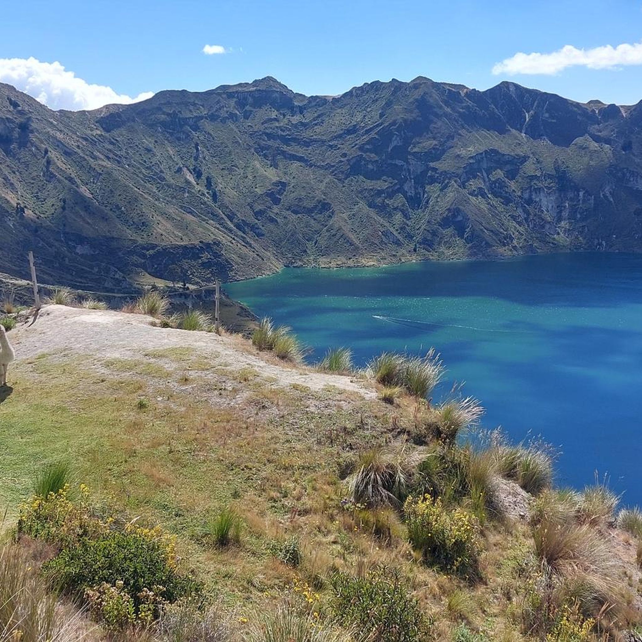
The routes around Pujilí offer stunning views of iconic natural features. You might catch glimpses of the majestic Cotopaxi Volcano and the twin peaks of the Illinizas volcanoes. The dramatic geological formations of the Toachi Canyon are also a prominent feature in the region, especially when cycling towards areas like the Quilotoa Lagoon.
Are there any loop routes for road cyclists in Pujilí?
Yes, many of the road cycling routes in Pujilí are designed as loops, allowing you to start and finish in the same location. Examples include the Yambo loop from Latacunga, a moderate 29.2-mile (47.0 km) path, and the Roadbike loop from Latacunga, a 26.8-mile (43.2 km) trail.
What do other road cyclists enjoy most about cycling in Pujilí?
The road cycling routes in Pujilí are highly rated by the komoot community, with an average score of 4.8 stars. Cyclists often praise the stunning Andean páramo landscapes, the constant views of volcanic peaks, and the immersive experience of passing through traditional indigenous communities.
Is there parking available for cyclists near the route starting points?
While specific parking facilities for cyclists are not detailed for every route, many routes originate from larger towns like Latacunga. In these areas, you can typically find public parking options, though it's advisable to research specific parking availability for your chosen starting point in advance.
Can I reach the road cycling routes using public transport?
Pujilí and nearby towns like Latacunga are generally accessible by public transport within Ecuador. Buses are a common mode of transport between cities and towns in the region. Cyclists often use these services to reach starting points, though you may need to check with individual bus companies regarding policies for transporting bicycles.
Are there any family-friendly road cycling routes in Pujilí?
While many routes in Pujilí involve varied elevations and mountainous terrain, some of the easier, shorter loop routes could be considered more family-friendly, especially for families with older children or those accustomed to cycling. The Sector peligroso en lluvia loop from Latacunga is an easy option that might be suitable.
Are there cafes or places to stop for refreshments along the routes?
As routes often pass through or near traditional indigenous communities and towns, you may find small local shops or eateries offering refreshments. However, it's always recommended to carry sufficient water and snacks, especially on longer or more remote sections, as dedicated cycling cafes might be sparse outside of larger urban centers.
Most popular routes in Pujili

Get inspired with the komoot mobile app


Explore more
Browse the best Road cycling routes in other regions.
