The best cycling routes in Urbina (Taya)
4.4
(11)
126
riders
14
rides
Touring cycling routes in Urbina (Taya) are primarily situated in a mountainous region, characterized by páramo landscapes and the presence of reservoirs. The terrain often includes significant elevation changes, offering challenging routes for experienced cyclists. The area's natural features provide a backdrop for routes that traverse high-altitude ecosystems.
Best touring cycling routes in Urbina (Taya)
- The most popular touring cycling route is EMBALSE loop from Tulcán, a 28.4 miles (45.6 km) trail that takes 3 hours 17 minutes to…
Last updated: July 2, 2026
12
riders
45.6km
03:17
960m
960m
Hard bike ride. Very good fitness required. Mostly paved surfaces. Suitable for all skill levels.
5.0
(2)
11
riders
57.3km
04:07
930m
930m
Hard bike ride. Very good fitness required. Mostly paved surfaces. Suitable for all skill levels.

Sign up for free
10
riders
22.1km
01:25
250m
240m
Moderate bike ride. Good fitness required. Mostly paved surfaces. Suitable for all skill levels.
7
riders
34.0km
02:24
640m
640m
Hard bike ride. Very good fitness required. Mostly paved surfaces. Suitable for all skill levels.
9
riders
26.9km
01:45
380m
370m
Moderate bike ride. Good fitness required. Mostly paved surfaces. Suitable for all skill levels.
Get access to more routes and recommendations from other explorers.
Sign up for free
Already have an account?
Our route recommendations are based on thousands of hikes, rides, and runs completed by other people on komoot.
Start today with a free account
Your next adventure awaits.
Login or Signup
Popular around Urbina (Taya)

Tips from the Community

you need to show them your yellow fever vaccine. (Update: Not anymore 19.11.2025)
0
0

there are some km's with quite a few landslides. Still doable with touring setups.
1
0
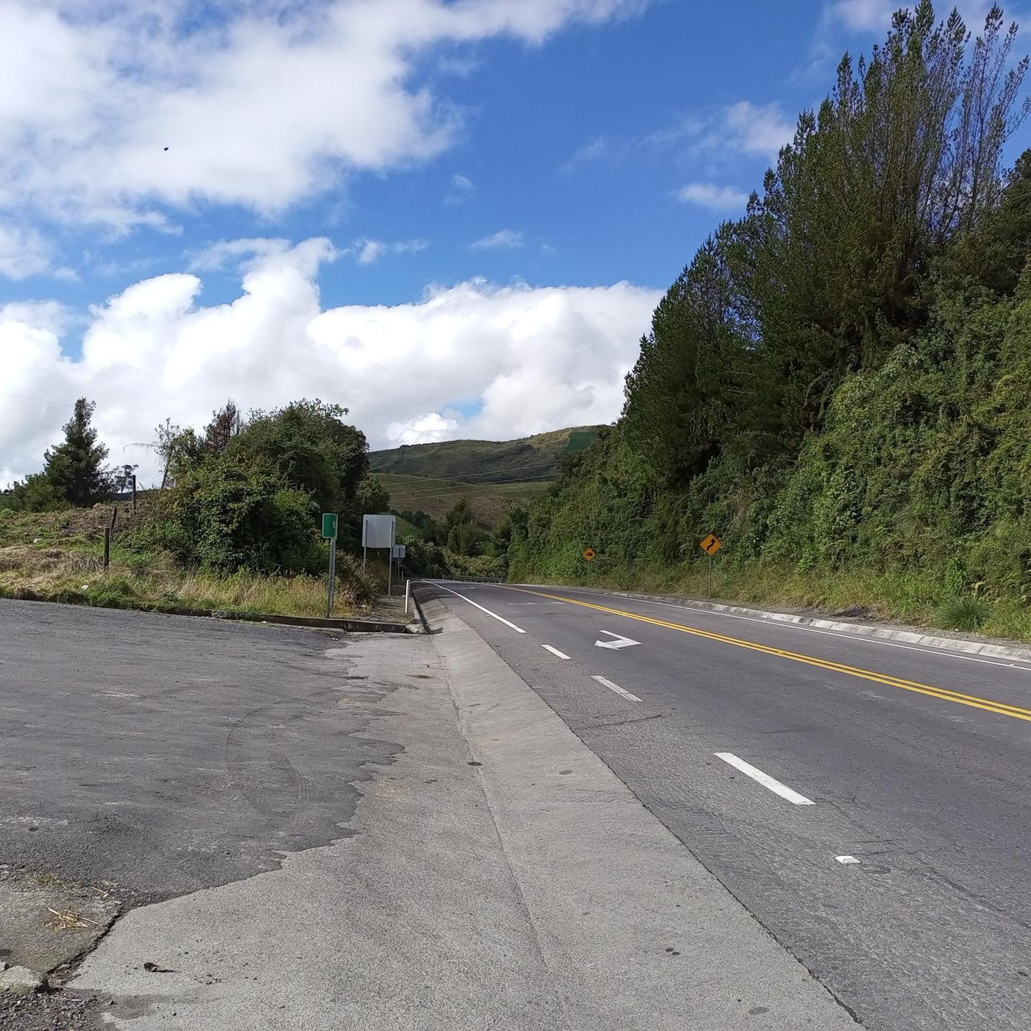
Beautiful route through the Paramo to El Angel. The first part of the road is quite good. The gradient is low. At some point there are some km's with mud and landslides. Have to push the bike for a bit but still mangeable with touring setups. Best to start early to have enough time.
0
0

The parámo is a particular climatic area found at certain heights in the Andes in Ecuador, Colombia and Venezuela. These humid areas are characterized by enormous plants called "frailejones" because they resemble the figure of a friar. The peculiarity of these plants with a unique appearance is that they are able to retain the humidity in the air and transfer it underground.
2
0
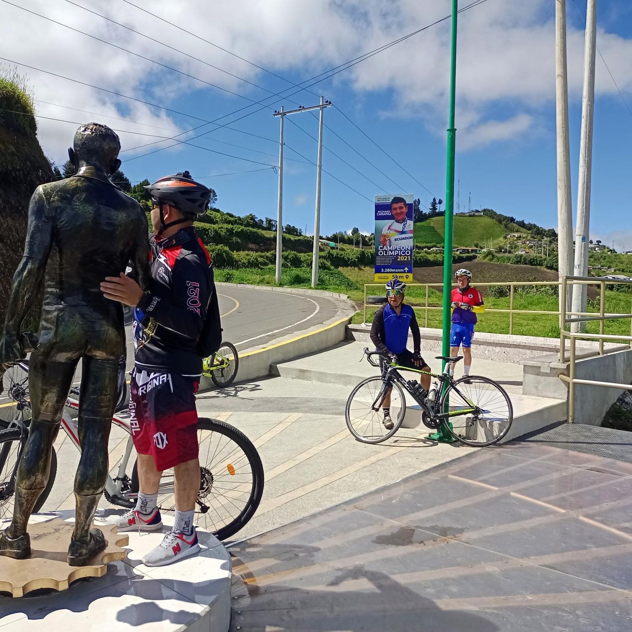
Tulcán is a small town on the border with Colombia, as well as the starting point for the famous MTB trail "Trans Ecuador". Despite its modest size it is possible to find everything you need to stock up. Not only that but Tulcán boasts a vibrant cycling community both sporting and urban, it is quite common to come across critical mass or cycling events of all sorts.
0
0
Frequently Asked Questions
What kind of terrain can I expect on touring cycling routes in Urbina (Taya)?
The touring cycling routes in Urbina (Taya) are primarily in a mountainous region, featuring páramo landscapes and often including significant elevation changes. You'll encounter high-altitude ecosystems and routes near reservoirs, providing a challenging and scenic backdrop for your ride.
Are there any easy touring cycling routes for beginners in Urbina (Taya)?
Urbina (Taya) offers routes ranging from moderate to difficult. There are no routes specifically categorized as easy. Cyclists should be prepared for significant elevation changes and challenging terrain, even on moderate routes.
How many touring cycling routes are available in Urbina (Taya)?
There are 14 touring cycling routes available in Urbina (Taya) for you to explore, offering a variety of distances and challenges.
What is the typical length and duration of touring cycling routes in Urbina (Taya)?
Route lengths vary, but you can find options like the Tulcán loop from Tulcán, which is 13.7 miles (22.1 km) and takes about 1 hour 24 minutes. Longer, more challenging routes, such as the Landslide Section – Frailejones in the Páramo loop from Tulcán, cover 35.8 miles (57.7 km) and can take over 4 hours.
Are there any circular touring cycling routes in Urbina (Taya)?
Yes, many of the touring cycling routes in Urbina (Taya) are loops. For example, you can try the EMBALSE loop from Tulcán, which offers a 28.4-mile (45.6 km) ride with significant climbs around a reservoir.
What is the best season for touring cycling in Urbina (Taya)?
Given the mountainous terrain and páramo landscapes, weather conditions can change rapidly. It's advisable to check the local weather forecast before heading out, regardless of the season. High-altitude ecosystems may experience cooler temperatures and more unpredictable weather.
Can I find advanced touring cycling routes in Urbina (Taya)?
Absolutely. Urbina (Taya) is known for its challenging routes. Six of the fourteen available routes are classified as difficult, featuring significant elevation changes and demanding terrain. The Tulcán loop from Parcela is one such difficult route, covering 33.9 miles (54.6 km).
What do other touring cyclists say about the routes in Urbina (Taya)?
The komoot community highly rates the touring cycling routes in Urbina (Taya), with an average score of 4.4 stars from over 10 reviews. Cyclists often appreciate the unique páramo landscapes and the challenging nature of the rides.
Are the touring cycling routes in Urbina (Taya) suitable for families?
Given that all routes are categorized as moderate to difficult with significant elevation changes, they may not be suitable for all families, especially those with young children or beginners. These routes are generally better suited for experienced cyclists looking for a challenge.
Is public transport available to access the touring cycling routes in Urbina (Taya)?
Information regarding specific public transport options directly to the trailheads is not readily available. It is recommended to research local transport services in the vicinity of towns like Tulcán, which serve as starting points for several routes, to plan your access.
Where can I park my vehicle when accessing touring cycling routes in Urbina (Taya)?
While specific parking facilities for each trailhead are not detailed, routes often start from towns or accessible points. It is advisable to look for public parking options in nearby towns such as Tulcán or Rumichaca, which are common starting points for many tours, including the Tulcán loop from Rumichaca.
Most popular routes in Urbina (Taya)

Get inspired with the komoot mobile app


Explore more
Browse the best Cycling routes in other regions.
