The best road cycling routes in Gualaceo
4.1
(11)
679
riders
5
rides
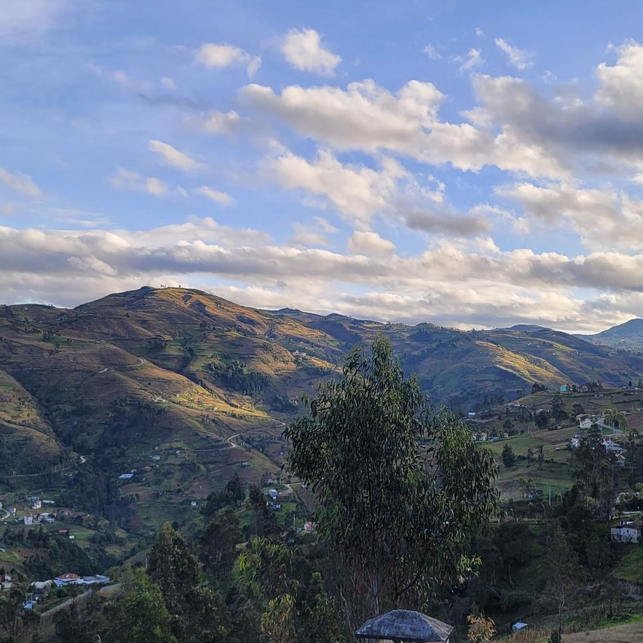
Road cycling routes in Gualaceo traverse an Andean valley setting, situated at an altitude of 7,640 feet (2,330 meters) above sea level. The region is characterized by mountainous scenery and is crossed by four rivers: San Francisco, Santa Bárbara, Guaymincay, and San José. These features contribute to diverse natural landscapes suitable for road cycling, often involving significant elevation gains. The terrain primarily consists of paved surfaces, with some unpaved segments offering varied challenges.
Best road cycling routes in Gualaceo
- The…
Last updated: July 2, 2026
121
riders
91.3km
05:03
1,780m
1,770m
Hard road ride. Very good fitness required. Mostly well-paved surfaces and easy to ride.
5.0
(1)
112
riders
130km
07:06
2,330m
2,330m
Hard road ride. Very good fitness required. Some segments of this route may be unpaved and difficult to ride.

Sign up for free
1.0
(1)
7
riders
39.2km
01:48
360m
360m
Moderate road ride. Good fitness required. Some segments of this route may be unpaved and difficult to ride.
6
riders
30.6km
01:30
380m
380m
Moderate road ride. Good fitness required. Mostly well-paved surfaces and easy to ride.
2
riders
50.8km
03:16
1,480m
1,480m
Hard road ride. Very good fitness required. Mostly well-paved surfaces and easy to ride.
Our route recommendations are based on thousands of hikes, rides, and runs completed by other people on komoot.
Start today with a free account
Your next adventure awaits.
Login or Signup
Popular around Gualaceo

Tips from the Community


Cuenca, with its almost 700,000 inhabitants, is the third largest city in Ecuador. It is located at an altitude of 2,500 meters above sea level, within a basin surrounded by gentle hills (hills that reach altitudes even above 3,000 metres). The city is an extraordinary combination of Andean and European culture. It offers everything you need for a regenerating break from the pedals. Don't miss the Pumapungo anthropological museum: it helps you learn more about Ecuadorian traditions and culture.
1
0

Frequently Asked Questions
What kind of terrain can I expect on road cycling routes in Gualaceo?
Gualaceo's road cycling routes traverse an Andean valley setting, offering mountainous scenery with significant elevation gains. The terrain is primarily paved, though some segments might be unpaved, adding varied challenges to your ride.
How many road cycling routes are available in Gualaceo?
There are 5 road cycling routes detailed in this guide for Gualaceo, ranging from moderate to difficult. These routes are designed to help you explore the diverse landscapes of the region.
Are there routes suitable for moderate-level road cyclists?
Yes, Gualaceo offers routes for moderate-level road cyclists. For instance, the Swing With a View of Gualaceo loop from Paute is a moderate 39.2 km (24.4 miles) route, and the Swing With a View of Gualaceo loop from Chordeleg covers 30.6 km (19.0 miles) and is also rated moderate.
What natural features or landmarks can I see along the road cycling routes?
As you cycle through Gualaceo, you'll encounter breathtaking Andean landscapes and lush natural environments. The region is traversed by four rivers—San Francisco, Santa Bárbara, Guaymincay, and San José—which enhance the scenic beauty. You might also find opportunities to visit attractions like Ecuagenera Orchids, known for its diverse flora.
When is the best time of year for road cycling in Gualaceo?
Gualaceo enjoys a pleasant Andean valley climate with an average temperature of 17 degrees Celsius (63 degrees Fahrenheit) year-round. This consistent, mild weather makes it suitable for road cycling throughout most of the year, ensuring lush, green landscapes.
Are there circular road cycling routes in Gualaceo?
Yes, many of the road cycling routes in Gualaceo are designed as loops, allowing you to start and finish in the same location. Examples include the popular Swing With a View of Gualaceo loop from Gualaceo and the longer Laguna Chocar – Swing With a View of Gualaceo loop from Gualaceo.
What do other cyclists say about road cycling in Gualaceo?
The road cycling routes in Gualaceo are highly rated by the komoot community, with an average score of 4.1 stars from over 10 reviews. Cyclists often praise the stunning Andean scenery, the challenge of the elevation gains, and the diverse natural landscapes.
Are there any longer, more challenging road cycling routes for experienced riders?
Experienced riders will find several challenging options. The Laguna Chocar – Swing With a View of Gualaceo loop from Gualaceo is a difficult 116.5 km (72.4 miles) path with extensive views and significant climbs. Another demanding option is the Cuenca – Swing With a View of Gualaceo loop from Gualaceo, a 119.2 km (74.0 miles) trail through the Andean valley.
Are there family-friendly road cycling routes in Gualaceo?
While Gualaceo's road cycling routes often feature significant elevation gains and are generally rated moderate to difficult, families with older, experienced children might enjoy shorter, less strenuous segments or routes starting from nearby towns like Paute or Chordeleg, which offer moderate options.
Are there parking facilities available near the cycling routes in Gualaceo?
Gualaceo is a town with various amenities. While specific dedicated cycling parking facilities are not detailed, you can typically find parking within the town or near starting points of routes, especially if you plan to begin your ride from Gualaceo itself or other nearby towns.
How can I reach Gualaceo by public transport for cycling?
Gualaceo is accessible by public transport, primarily buses, from larger cities like Cuenca. These services can transport you and your bicycle to the region, allowing you to start your cycling adventure from various points within the canton.
Are there cafes, pubs, or accommodation options near the cycling routes?
Gualaceo, known as 'El Jardín del Azuay,' is a vibrant town offering various amenities. You'll find cafes, restaurants, and accommodation options within the town center and surrounding areas, providing convenient places to refuel and rest after your rides.
Most popular routes in Gualaceo

Get inspired with the komoot mobile app


Explore more
Browse the best Road cycling routes in other regions.
