The best walks and hikes in Chiquintad
5.0
(3)
12
hikers
6
hikes
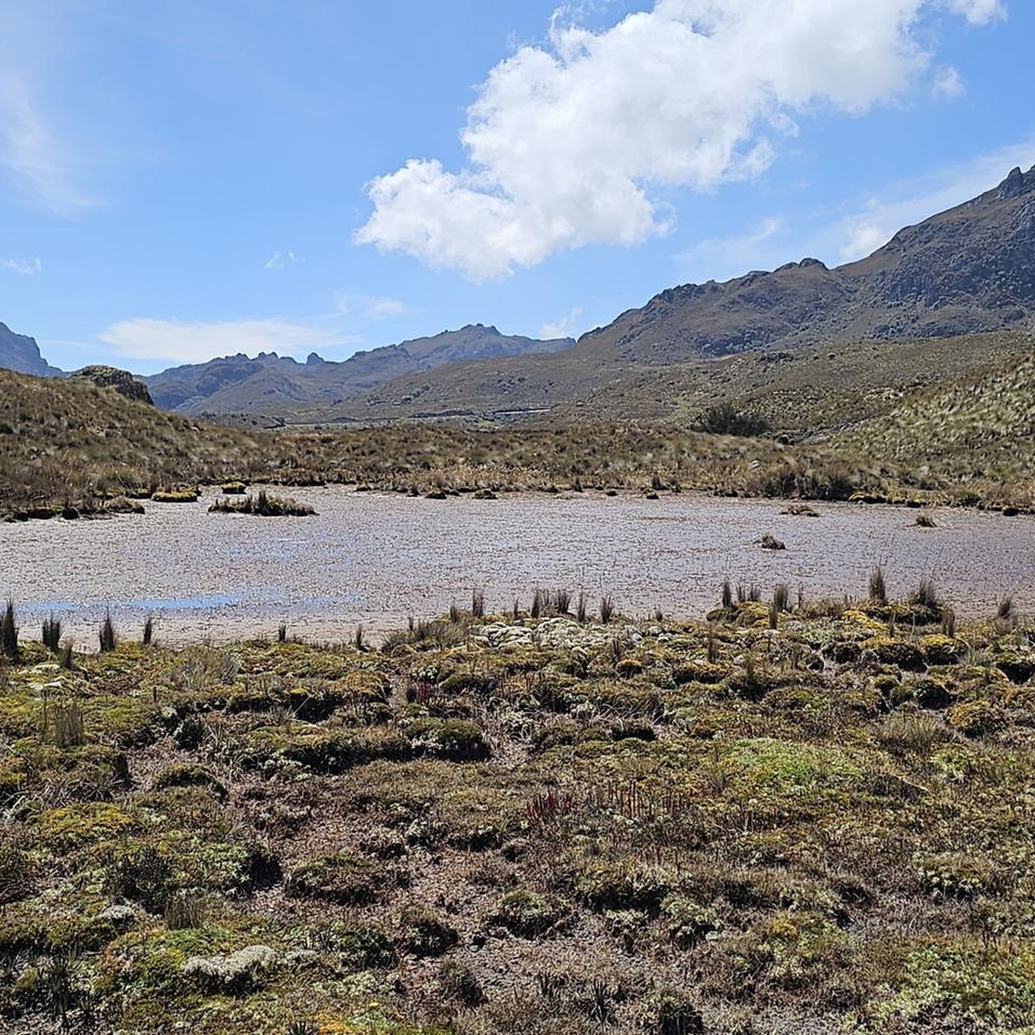
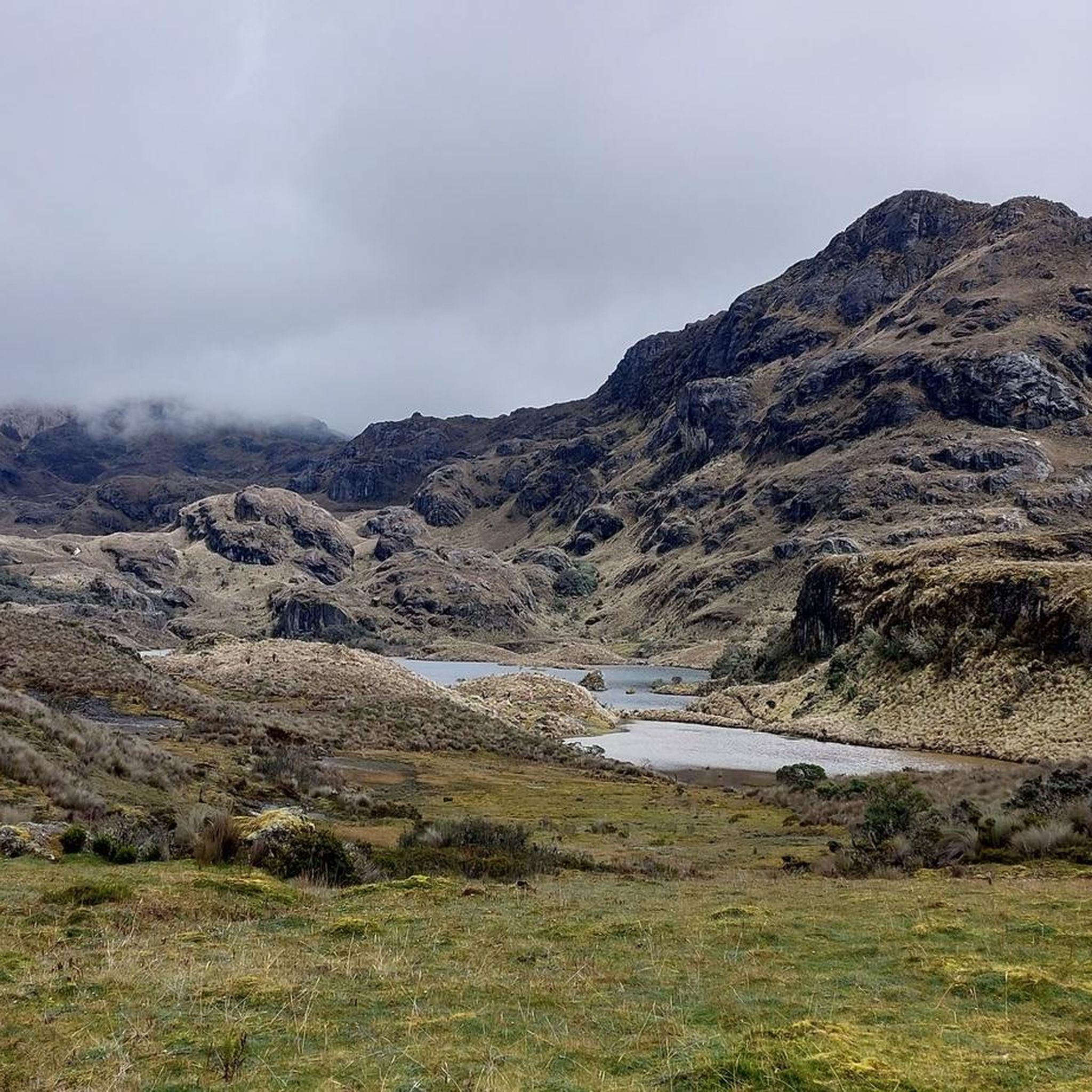
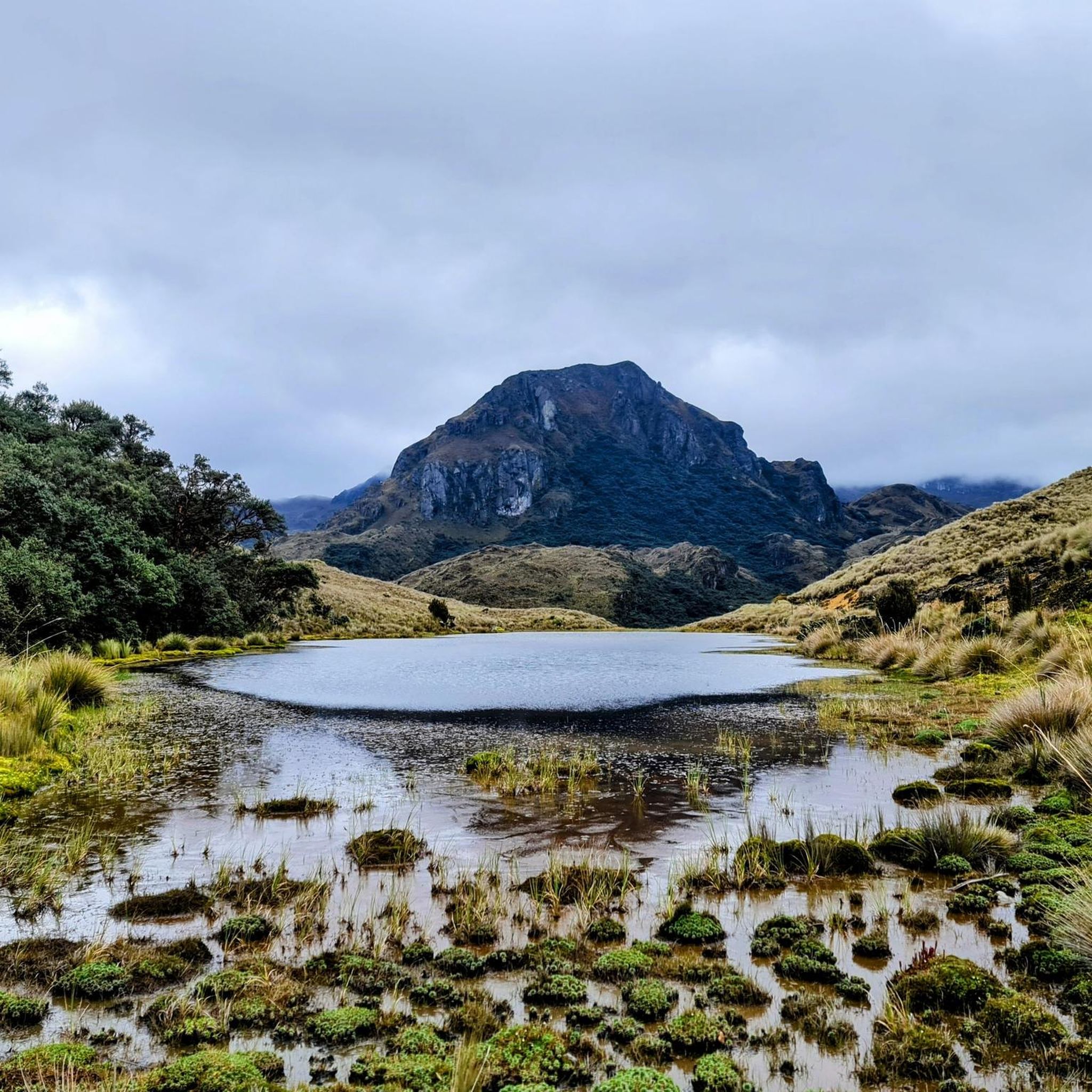
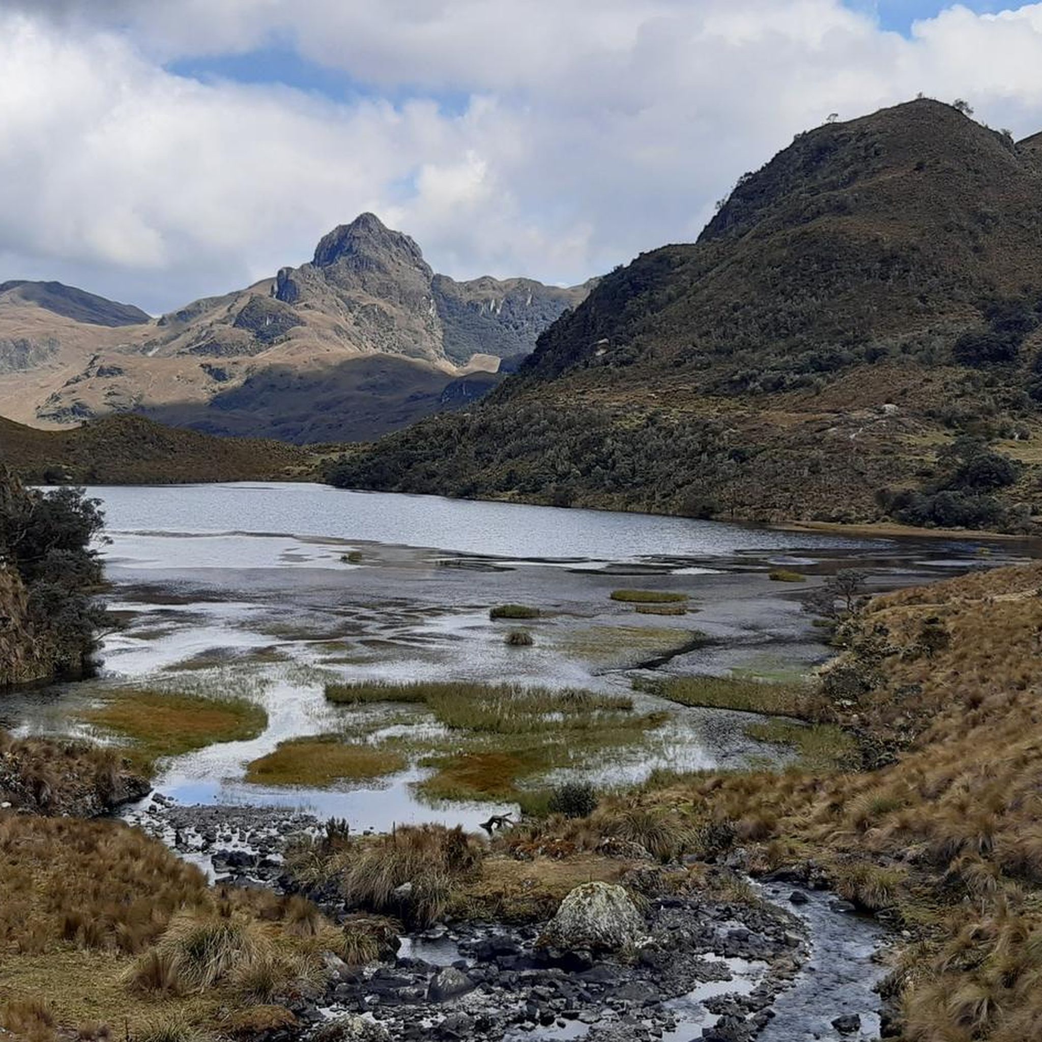
Hiking trails in Chiquintad, Ecuador, are situated within the Andean highlands, offering varied terrain at an average altitude of 2,440 meters above sea level, with surrounding hills reaching over 3,000 meters. The region is characterized by lush green spaces, diverse ecosystems, and notable natural features including several waterfalls. Extensive trails connect visitors with the natural environment, providing opportunities to explore the local flora and fauna.
Best hiking trails in Chiquintad
- The most popular hiking route is Cerro Monjas loop from…
Last updated: July 11, 2026
5.0
(3)
11
hikers
6.21km
02:07
280m
280m
Moderate hike. Good fitness required. Easily-accessible paths. Suitable for all skill levels.
1
hikers
19.8km
05:50
560m
560m
Hard hike. Very good fitness required. Easily-accessible paths. Suitable for all skill levels.

Sign up for free
Moderate hike. Good fitness required. Easily-accessible paths. Suitable for all skill levels.
Moderate hike. Good fitness required. Easily-accessible paths. Suitable for all skill levels.
11.6km
03:24
300m
310m
Moderate hike. Good fitness required. Easily-accessible paths. Suitable for all skill levels.
Our route recommendations are based on thousands of hikes, rides, and runs completed by other people on komoot.
Start today with a free account
Your next adventure awaits.
Login or Signup
Tips from the Community

Icto Cruz park is an incredible place. In addition to offering a dense network of paths for walking and mountain biking, there is also a relaxation area complete with fireplace and firewood! There is also a beautiful vantage point to admire the city of Cuenca. Getting to the park can be tiring but it's worth every drop of sweat.
0
0

Nice courtyard next to the cathedral with nice bars and restaurants on 2 levels right next to the cathedral. Here you can take a break between sightseeing in the city and you have a great view of the cathedral with its blue domes.
1
0
There is a roof-top restaurant on top of the beautiful fashion department store. Take the elevator to the rear of the department store.
1
0
In the former Escuela Central is the museum with various exhibition themes including a grave with skeletons or on the other hand textiles. The old building alone is worth a visit. Admission free.
1
0
Museum of modern and contemporary art. Admission free. The ambience with the inner courtyards alone is worth the visit.
0
0
Bullfights used to be held at San Sebastian Square. In addition to the church of the same name, there is also a museum for contemporary art on the square. A quiet place to hang out with a few cafes.
0
0
Fresh goods, hustle and bustle and massages, rubbing with fragrant fresh herbs.
1
0

Cuenca definitely worth a trip.
0
0
Frequently Asked Questions
What kind of terrain can I expect on hiking trails in Chiquintad?
Chiquintad is nestled within the Andean highlands, offering varied terrain at an average altitude of 2,440 meters above sea level, with surrounding hills reaching over 3,000 meters. You can expect lush green spaces, diverse ecosystems, and significant elevation changes, providing a dramatic backdrop for your hikes.
Are there any waterfalls to discover while hiking in Chiquintad?
Yes, Chiquintad is known for its impressive waterfalls. You can explore the 15-meter high Cascada de San Antonio, fed by the Quintul River, which offers a natural trail flanked by native plants. Another notable waterfall is Cascada Saymirín, located about 1.5 kilometers from the parish center, which originated from an irrigation canal and flows into the Machángara River. There's also the recently discovered Cascada El Campanario on the Saymirín River.
Are there family-friendly hiking options in Chiquintad?
While many routes involve moderate elevation changes, Chiquintad offers extensive trails and green areas suitable for various skill levels. The path to Cascada de San Antonio, for example, is described as a light hike ideal for families. Always check the specific route details for elevation and distance to ensure it matches your family's ability.
Can I bring my dog on the hiking trails in Chiquintad?
The trails in Chiquintad are generally open to responsible dog owners. However, it's always recommended to keep your dog on a leash, especially in areas with wildlife or livestock, and to carry out any waste. There are no specific restrictions mentioned, but local regulations may apply.
Are there circular hiking routes available in Chiquintad?
Yes, Chiquintad features several circular routes. For instance, you can try the Cerro Monjas loop from Sucre, a moderate 4.0-mile (6.5 km) trail. Another option is the Estanque de anfibios – Cerro Monjas loop from Las Antenas, an 8.8-mile (14.2 km) moderate path through diverse ecosystems.
What is the best time of year to go hiking in Chiquintad?
Given its location in the Andean highlands, Chiquintad generally offers pleasant hiking conditions year-round, though weather can be variable. The region experiences a tropical highland climate. It's always advisable to check local weather forecasts before heading out and be prepared for changes in temperature and potential rain, especially at higher altitudes.
What do other hikers enjoy most about hiking in Chiquintad?
The komoot community highly rates the hiking experience in Chiquintad, with an average score of 5.0 stars. Hikers often praise the stunning Andean landscapes, the impressive waterfalls, and the opportunity to connect with the authentic essence of nature on the extensive green trails.
Are there any longer or more challenging hikes in the area?
For those seeking a more challenging experience, the Laguna Machangaracocha loop from Presa Chanlud is a difficult 12.3-mile (19.8 km) trail that takes approximately 5 hours 50 minutes to complete, leading through the Andean highlands.
What kind of natural features can I expect to see along the trails?
Beyond the waterfalls, the trails in Chiquintad allow you to immerse yourself in the lush green spaces and diverse ecosystems typical of the Ecuadorian sierra. You'll encounter native plants, mosses, and lichens, especially near water sources, and enjoy panoramic views of the magnificent Andes mountains.
Are there any cultural or historical attractions nearby that I can visit after a hike?
While Chiquintad itself offers a rural charm, its proximity to Cuenca means you can explore several cultural and historical sites. These include the Museo del Sombrero de Paja Toquilla (Hat Museum), Plaza San Francisco, and the Museo de la Ciudad in Cuenca. Chiquintad is also part of an "experiential tourism" route alongside Sinincay and Checa, offering a deeper dive into local customs.
How many hiking routes are available in Chiquintad?
There are over 5 hiking routes available in Chiquintad, catering to various preferences. These include moderate and difficult trails, allowing you to choose an adventure that suits your fitness level.
Most popular attractions in Chiquintad

Get inspired with the komoot mobile app


Explore more
Browse the best Hikes in other regions.
