The best running trails in Checa (Jidcay)
5.0
(10)
389
runners
5
runs
Jogging in Checa (Jidcay) offers access to the diverse landscapes of the Cuenca Canton in the Ecuadorian Andes. The region features varied topography, including river valleys with urban greenways and accessible paths, as well as higher-altitude páramo landscapes characterized by rolling hills and grasslands. This environment provides a range of running experiences, from gentle riverside paths to more challenging routes with elevation changes.
Best jogging routes in Checa (Jidcay)
- The most popular jogging route is Consulate loop from Río Machángara…
Last updated: July 12, 2026
72
runners
13.6km
01:30
90m
90m
Moderate run. Good fitness required. Mostly paved surfaces. Suitable for all skill levels.
5.0
(2)
48
runners
11.3km
01:13
100m
100m
Moderate run. Good fitness required. Mostly paved surfaces. Suitable for all skill levels.

Sign up for free
5.0
(1)
39
runners
10.4km
01:07
90m
100m
Moderate run. Good fitness required. Mostly paved surfaces. Suitable for all skill levels.
36
runners
20.3km
02:16
150m
150m
Hard run. Very good fitness required. Mostly paved surfaces. Suitable for all skill levels.
26
runners
17.4km
01:59
210m
210m
Hard run. Very good fitness required. Mostly paved surfaces. Suitable for all skill levels.
Our route recommendations are based on thousands of hikes, rides, and runs completed by other people on komoot.
Start today with a free account
Your next adventure awaits.
Login or Signup
Popular around Checa (Jidcay)
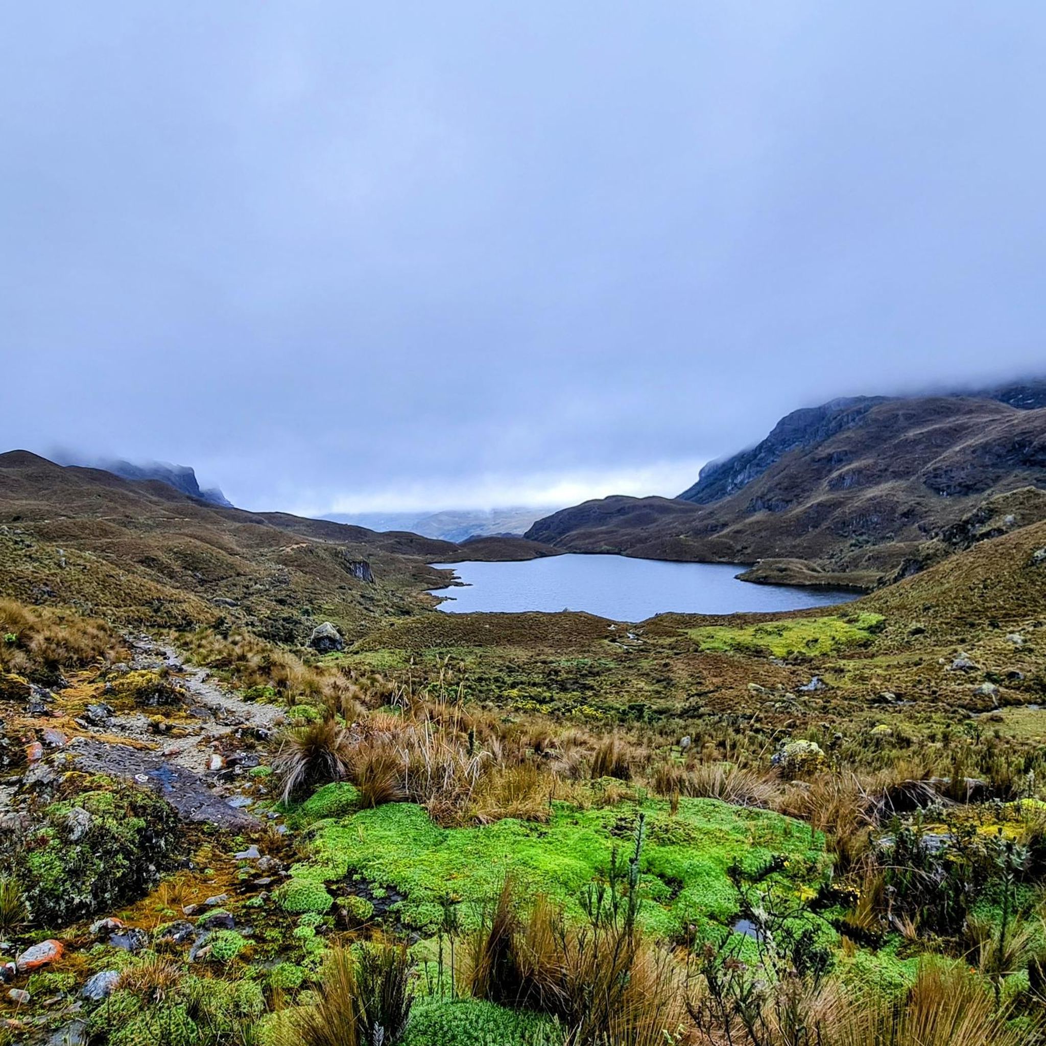
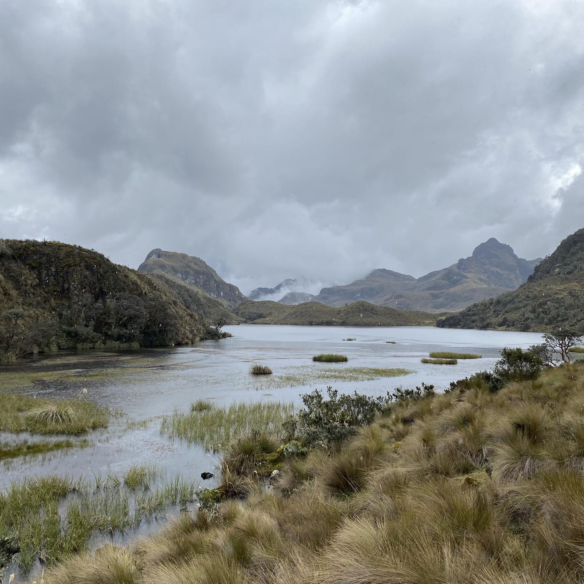
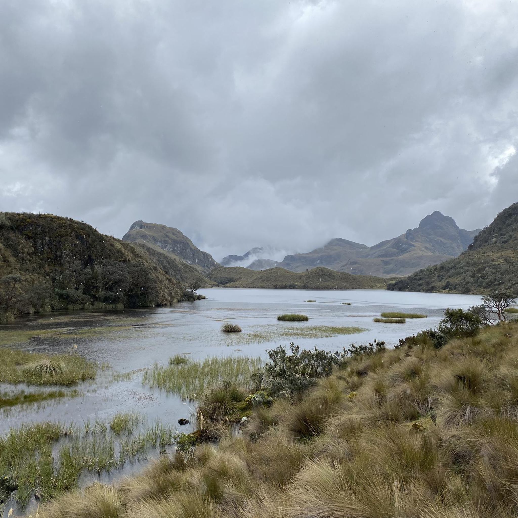
Tips from the Community


Cuenca, with its almost 700,000 inhabitants, is the third largest city in Ecuador. It is located at an altitude of 2,500 meters above sea level, within a basin surrounded by gentle hills (hills that reach altitudes even above 3,000 metres). The city is an extraordinary combination of Andean and European culture. It offers everything you need for a regenerating break from the pedals. Don't miss the Pumapungo anthropological museum: it helps you learn more about Ecuadorian traditions and culture.
1
0

a beautiful route to run in the middle of nature
0
0
Frequently Asked Questions
How many running routes are available in Checa (Jidcay)?
There are currently 5 dedicated jogging routes available in Checa (Jidcay) and the surrounding area, offering a variety of experiences for runners.
What kind of terrain can I expect on the jogging routes in Checa (Jidcay)?
The region offers diverse terrain, from accessible river valleys and urban greenways near Cuenca to more challenging Andean highland landscapes, including areas with rolling hills and grasslands. You can find paths suitable for gentle runs as well as routes with significant elevation changes.
Are there options for easy or beginner-friendly runs in the area?
While the listed routes are primarily moderate to difficult, the broader Cuenca region, to which Checa (Jidcay) is connected, features pleasant urban nature walks and paths along rivers like the Tomebamba and Yanuncay. These offer gentler, more accessible options for a relaxed jog.
What about more challenging running trails for experienced runners?
For experienced runners seeking a challenge, Checa (Jidcay) offers routes like the Quinta Lucrecia loop from Río Machángara, which covers 18.7 km with over 130 meters of ascent. The Path Along the Cuenca River loop from Ricaurte is another difficult option, spanning 17.4 km with over 200 meters of elevation gain. The nearby Andean páramo landscapes, such as those found in Cajas National Park, also offer very strenuous high-altitude experiences.
Are there circular running routes in Checa (Jidcay)?
Yes, many of the running routes in the area are circular. For example, the Consulate loop from Río Machángara and the Consulate loop from Cuenca are popular loop trails, allowing you to start and finish at the same point.
What do other runners say about the trails in Checa (Jidcay)?
The running routes in Checa (Jidcay) are highly rated by the komoot community, with an average score of 5.0 stars from 9 reviews. Over 300 runners have used komoot to explore the varied terrain, often praising the scenic beauty and the diverse options available.
Are there any interesting landmarks or places to explore near the running routes?
Yes, after your run, you can explore cultural and historical sites in the wider Cuenca area. Notable attractions include the Plaza of the Hanging Geraniums, Plaza San Francisco, and the Museo de la Ciudad. There's also a View of the Main Square offering a nice perspective of the town.
Can I bring my dog on the running trails in Checa (Jidcay)?
While specific regulations for each trail can vary, generally, many outdoor paths in the Cuenca region are dog-friendly. It's always recommended to keep your dog on a leash and ensure you clean up after them to maintain the natural environment for everyone.
Are there family-friendly jogging paths in the area?
For families, the more accessible riverside paths within the wider Cuenca urban area offer a great option for a gentle jog or walk. These green spaces are often lined with gardens and parks, providing a pleasant and safe environment for all ages.
What is the best time of year to go running in Checa (Jidcay)?
The Cuenca region, including Checa (Jidcay), experiences a relatively consistent climate due to its Andean location. While there isn't a distinct 'best' season, the dry season (roughly June to September) often offers clearer skies and more stable weather, which can be ideal for outdoor activities. However, conditions can change rapidly in the mountains, so always be prepared for varying weather.
Is parking available near the running routes?
Parking availability can vary depending on the specific starting point of each route. For routes originating closer to urban areas like Cuenca, public parking lots or street parking might be available. For trails in more remote natural areas, designated parking might be limited, so it's advisable to check specific route details or local signage.
How can I get to the running trails using public transport?
Checa (Jidcay) is connected to the city of Cuenca, which has a public transport network. Depending on the specific trail's starting point, you may be able to reach it via local bus routes from Cuenca. It's best to consult local bus schedules and routes for the most accurate information on reaching specific trailheads.
Most popular routes in Checa (Jidcay)
Most popular attractions in Checa (Jidcay)

Get inspired with the komoot mobile app


Explore more
Browse the best Running Trails & Routes in other regions.
