The best road cycling routes in Guayabo
3.8
(7)
353
riders
3
rides
Road cycling in Guayabo, situated on the slopes of the Turrialba Volcano, offers diverse landscapes with significant elevation changes. The region is characterized by lush pre-montane rainforests and varied ecosystems, providing a challenging and visually engaging backdrop for road cyclists. Roads often feature climbs and descents through dense, evergreen foliage.
Best road cycling routes in Guayabo
- The most popular road cycling route is No Entry on Calle 1 – Santa Ana Park Sports Complex loop from Santiago, a 44.9…
Last updated: July 5, 2026
4.7
(6)
259
riders
72.4km
03:58
1,430m
1,430m
Hard road ride. Very good fitness required. Mostly well-paved surfaces and easy to ride.
3.0
(1)
81
riders
46.7km
02:12
440m
440m
Moderate road ride. Good fitness required. Mostly well-paved surfaces and easy to ride.

Sign up for free
13
riders
20.9km
01:03
270m
270m
Easy road ride. Great for any fitness level. Mostly well-paved surfaces and easy to ride.
Our route recommendations are based on thousands of hikes, rides, and runs completed by other people on komoot.
Start today with a free account
Your next adventure awaits.
Login or Signup
Popular around Guayabo

Tips from the Community

Puriscal, nice place, can't get any closer
0
0

Only one way, north-south direction
0
0

In front is the Sodita El Parque. Very good breakfasts
0
0

Really cool looking old church that was seriously damaged by earth quake in the 1990s and left to rot ever since. Apparently there is a controversy whether to knock it down (the authorities have ordered the church to do that) or to restore it. Right now (2019) it's still sitting in limbo.
0
0
Frequently Asked Questions
How many road cycling routes are available in Guayabo?
Guayabo offers a selection of road cycling routes, with at least 3 documented tours available on komoot. These routes cater to various skill levels, including easy, moderate, and difficult options.
What is the overall difficulty level of road cycling in Guayabo?
Road cycling in Guayabo presents a range of difficulties. You can find easy routes, such as the Santa Ana Park Sports Complex – Santa Ana Sign loop from Uruca, which is 13.0 miles (20.9 km) long. There are also moderate options like the Santa Ana Park Sports Complex – Bike Station Lindora loop from Brasil, spanning 29.0 miles (46.7 km), and challenging routes like the No Entry on Calle 1 – Santa Ana Park Sports Complex loop from Santiago, which covers 44.9 miles (72.4 km) with significant elevation gain.
What do other cyclists say about road cycling in Guayabo?
The road cycling routes in Guayabo are highly regarded by the komoot community, holding an average rating of 3.8 stars from over 7 reviews. Cyclists often praise the diverse landscapes, challenging climbs, and the opportunity to explore the region's natural beauty.
What kind of terrain can I expect on road cycling routes in Guayabo?
The terrain in Guayabo is characterized by volcanic slopes and lush pre-montane rainforests, leading to significant elevation changes. Routes often feature a mix of climbs and descents through dense, evergreen foliage. While many roads are paved and in good condition, some segments may be unpaved, adding to the adventure.
What natural features will I encounter while cycling in Guayabo?
As you cycle through Guayabo, you'll experience diverse ecosystems, including tropical dry and wet forests. The region is rich in biodiversity, with dense evergreen foliage, various tree species like Caragra and Magnolia, and abundant epiphytes such as bromeliads and orchids. Keep an eye out for local wildlife, including birds like toucans and orioles, and mammals such as armadillos and coatis.
Are there scenic viewpoints along the road cycling routes in Guayabo?
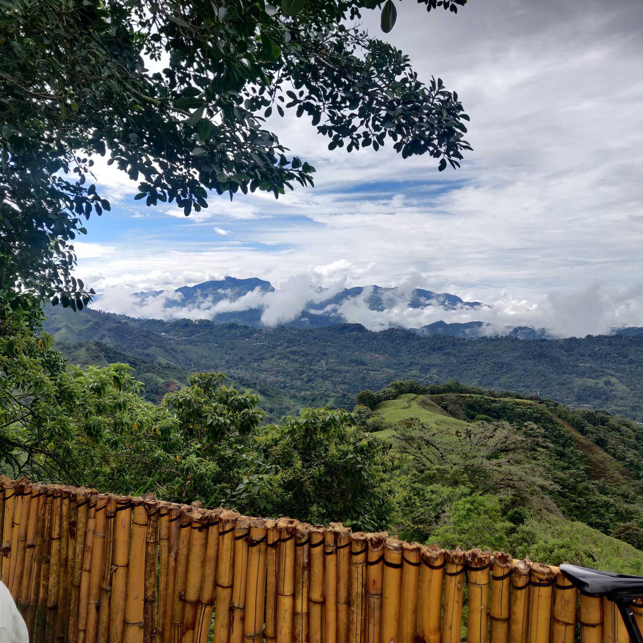
Yes, the region's location on the slopes of the Turrialba Volcano provides dramatic elevation changes and offers stunning views of volcanic landscapes and rainforests. Many routes will reward you with panoramic vistas of the surrounding natural beauty.
Are there any family-friendly road cycling routes in Guayabo?
For a less strenuous option suitable for families or beginners, consider routes like the Santa Ana Park Sports Complex – Santa Ana Sign loop from Uruca. This easy 13.0-mile (20.9 km) trail leads through varied landscapes and can typically be completed in about an hour.
What landmarks or attractions can I see near the road cycling routes in Guayabo?
Beyond the cycling, the region is home to the Guayabo National Monument, Costa Rica's most significant archaeological site, preserving remains of a pre-Columbian city. Other nearby attractions include the Ruins of Santiago Apóstol Church, Puriscal, the Virilla River Canyon, and the Picagres River.
Where can I park my car when starting a road cycling route in Guayabo?
While specific parking for each route may vary, the Senderos Colón Entrance and Car Park is a known parking facility in the broader Guayabo area that could serve as a starting point for exploration.
What is the best time of year for road cycling in Guayabo?
Guayabo enjoys a mild and pleasant climate year-round, situated at an altitude of approximately 1,000 meters above sea level. This makes it ideal for outdoor exploration, including road cycling. While the area experiences high precipitation due to its rainforest environment, the consistent mild temperatures generally allow for comfortable riding.
Are there options for food and drink along the road cycling routes?
The region around Guayabo National Monument is accessible from the town of Turrialba, which serves as a convenient base. While specific cafes or pubs directly on the routes are not detailed, Turrialba offers local amenities where cyclists can find food and drink before or after their rides.
What is the typical length and elevation gain of road cycling routes in Guayabo?
Route lengths vary significantly, from shorter options around 13.0 miles (20.9 km) with approximately 270 meters of elevation gain, to longer, more challenging routes extending up to 44.9 miles (72.4 km) with over 1,400 meters of elevation gain. This diversity allows cyclists to choose routes that match their desired distance and climbing challenge.
Most popular routes in Guayabo
Most popular attractions in Guayabo

Get inspired with the komoot mobile app


Explore more
Browse the best Road cycling routes in other regions.
