The best walks and hikes in Palmichal
4.8
(9)
74
hikers
4
hikes
Hiking in Palmichal, a district within Costa Rica's San José province, offers access to a mountainous landscape characterized by diverse microclimates. The region features 42 hectares of primary and secondary cloud forest, providing lush, verdant surroundings. Water resources are prominent, with the Tabarcia and Negro Rivers forming the Nacientes Palmichal river basin, leading to encounters with rivers, springs, and waterfalls. Beyond wild forests, the terrain also includes agricultural areas such as coffee and citrus plantations.
Best hiking trails in Palmichal
…Last updated: July 2, 2026
4.7
(3)
31
hikers
15.9km
06:31
1,240m
1,240m
Hard hike. Very good fitness required. Easily-accessible paths. Suitable for all skill levels.
5.0
(1)
26
hikers
11.4km
04:49
970m
970m
Hard hike. Very good fitness required. Easily-accessible paths. Suitable for all skill levels.

Sign up for free
4.5
(2)
9
hikers
11.2km
03:27
380m
380m
Moderate hike. Good fitness required. Easily-accessible paths. Suitable for all skill levels.
5.0
(2)
6
hikers
9.93km
03:50
710m
710m
Moderate hike. Good fitness required. Easily-accessible paths. Suitable for all skill levels.
5.0
(1)
2
hikers
14.2km
05:35
1,030m
1,030m
Hard hike. Very good fitness required. Easily-accessible paths. Suitable for all skill levels.
Our route recommendations are based on thousands of hikes, rides, and runs completed by other people on komoot.
Start today with a free account
Your next adventure awaits.
Login or Signup

Tips from the Community

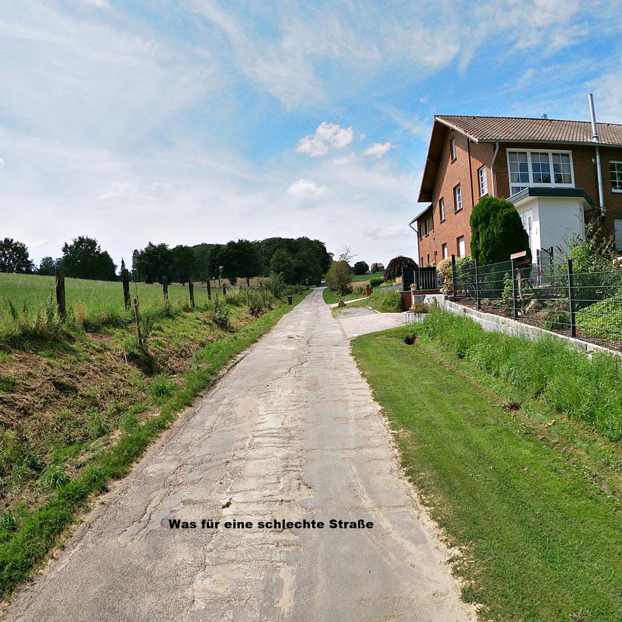
Another highlight of the Mantra Trail. The “I” is missing so please put it in the right place.😜
0
0


Ascent with intermediate / high difficulty.
0
0
Frequently Asked Questions
What is the general difficulty level of hiking trails in Palmichal?
Palmichal offers a range of hiking difficulties. While there are no easy trails listed, you'll find a good selection of moderate and difficult routes. Most of the trails, such as the Cerro Piedra Blancas Summit – Pico Blanco Rock loop from Alajuelita and the Alto Buenavista – Cerro Caraigres (Dragón) loop from Legua de Naranjo, are considered difficult due to significant elevation changes. However, there are also moderate options like the Costa Rica Sign – The Hand of Mantra loop from Santa Ana, which offers varied terrain.
Are there any waterfalls or significant water features to see on hikes in Palmichal?
Yes, the region is rich in water resources. The Tabarcia and Negro Rivers form the Nacientes Palmichal river basin, meaning you can expect to encounter rivers, springs, and even waterfalls. The trails offered by the Nacientes Palmichal rural lodge specifically mention Catarata La Peineta, a waterfall located about 2.5 km into their trail system, as a point of interest.
Are there any family-friendly or shorter hiking options in Palmichal?
While many of the listed routes are challenging, the Nacientes Palmichal rural lodge offers 'hikes of low and high impact' with varying distances, starting from as short as 2 km. These shorter trails along the Tabarcia River could be suitable for families or those looking for a less strenuous experience. It's advisable to check with the lodge directly for current family-friendly offerings.
What kind of natural landscapes and wildlife can I expect to encounter?
Palmichal is characterized by its mountainous terrain and boasts 42 hectares of primary and secondary cloud forest. This lush environment is home to abundant flora and fauna, offering excellent opportunities for wildlife observation. Beyond the wild forests, you'll also hike through scenic agricultural landscapes, including coffee and citrus plantations, providing a diverse visual experience.
Are there circular hiking routes available in Palmichal?
Yes, several popular routes in Palmichal are circular, allowing you to start and end at the same point. Examples include the Cerro Piedra Blancas Summit – Pico Blanco Rock loop from Alajuelita, the Alto Buenavista – Cerro Caraigres (Dragón) loop from Legua de Naranjo, and the Hiking loop from Colón.
What do other hikers enjoy most about hiking in Palmichal?
The hiking experiences in Palmichal are highly rated by the komoot community, with an average score of 4.9 stars from over 6 reviews. Hikers often praise the diverse terrain, from challenging ascents to scenic cloud forests and agricultural landscapes. The stunning vistas and the immersive natural environment are frequently highlighted.
Are there any viewpoints or panoramic spots along the trails?
Yes, the mountainous terrain of Palmichal naturally offers many opportunities for stunning vistas. Specifically, the trails associated with the Nacientes Palmichal rural lodge mention Mirador El Brócoli, a viewpoint located about 4 km into their hike, which likely provides panoramic scenery over the region.
What is the best time of year to go hiking in Palmichal?
Palmichal's mountainous terrain and cloud forest environment mean it can be enjoyed year-round. However, like much of Costa Rica, it experiences a dry season (roughly December to April) and a rainy season (May to November). The dry season generally offers clearer skies and more comfortable hiking conditions, while the rainy season brings lush greenery and potentially more challenging trail conditions due to mud. Always check local weather forecasts before heading out.
Where can I find trailheads and parking for hikes in Palmichal?
Many popular routes in the area start from nearby towns. For instance, you can find trailheads originating from Alajuelita, Legua de Naranjo, Santa Ana, Colón, and San Antonio. While specific parking details for each trailhead are not always listed, these towns typically offer local parking options. The Nacientes Palmichal rural lodge also serves as a hub for ecotourism and hiking, likely providing dedicated parking for its visitors.
Are there opportunities for cultural immersion while hiking in Palmichal?
Yes, ecotourism initiatives in Palmichal, particularly through places like the Nacientes Palmichal rural lodge, integrate hiking with opportunities to experience local rural culture. This can include insights into coffee production, dairy farming, and sustainable agricultural practices, offering a deeper connection to the community beyond just the trails.
What is the typical elevation gain on hikes in Palmichal?
Given Palmichal's mountainous landscape, hikers should expect significant elevation gain. For example, the Cerro Piedra Blancas Summit – Pico Blanco Rock loop from Alajuelita involves over 1,200 meters of ascent, and the Alto Buenavista – Cerro Caraigres (Dragón) loop from Legua de Naranjo has over 960 meters of elevation gain. Even moderate routes like the Costa Rica Sign – The Hand of Mantra loop from Santa Ana still feature nearly 400 meters of climbing.

Get inspired with the komoot mobile app


