The 7 Most Amazing Peaks around Mandelbachtal
Best mountain peaks around Mandelbachtal are characterized by accessible elevated points and a network of hiking trails. The region, with an average elevation of 294 meters, offers several notable hills that provide scenic views. These areas are popular for hiking and recreation, situated in a picturesque landscape near the French border. The highest points in the region reach approximately 387 to 398 meters above sea level.
Best mountain peaks around Mandelbachtal
- The most popular mountain peaks is Heidenkopf Observation Tower…
Last updated: June 29, 2026
Schwarzenberg Tower
Highlight • Viewpoint
Translated by Google •
Tip by

Heidenkopf Observation Tower
Highlight • Viewpoint
Translated by Google •
Tip by

Sign up now to discover places like this
Get recommendations on the best single tracks, peaks, & plenty of other exciting outdoor places.
Sign up for free
Franzosenkopf
Highlight • Summit
Translated by Google •
Tip by

Winterberg Memorial
Highlight • Monument
Translated by Google •
Tip by

Summit Cross Plateau Heinitz
Highlight • Summit
Translated by Google •
Tip by

Sign up for free to discover even more peaks around Mandelbachtal.
Sign up for free
Already have an account?
Start today with a free account
Your next adventure awaits.
Login or Signup
Popular around Mandelbachtal
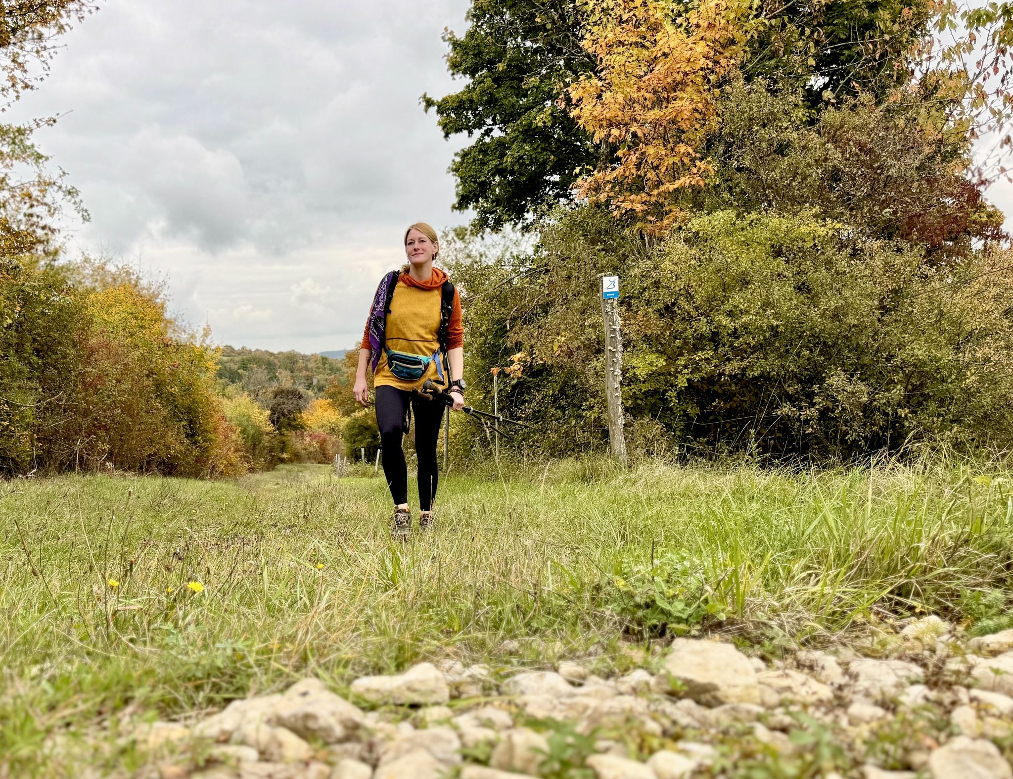
The Bliessteig – Saarland's colorful autumn dream
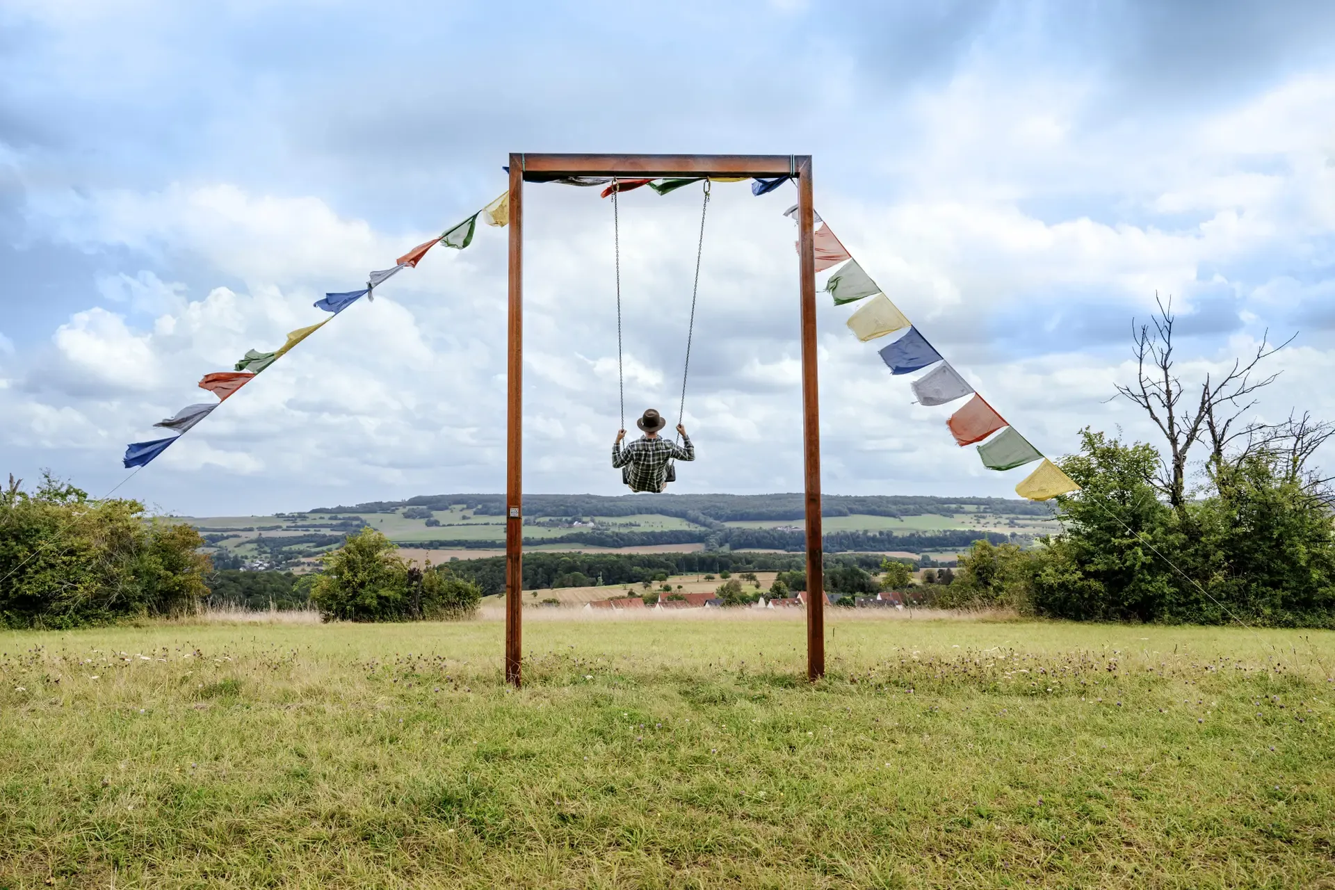
Bliessteig – Duitslands mooiste langeafstandswandeling 2025
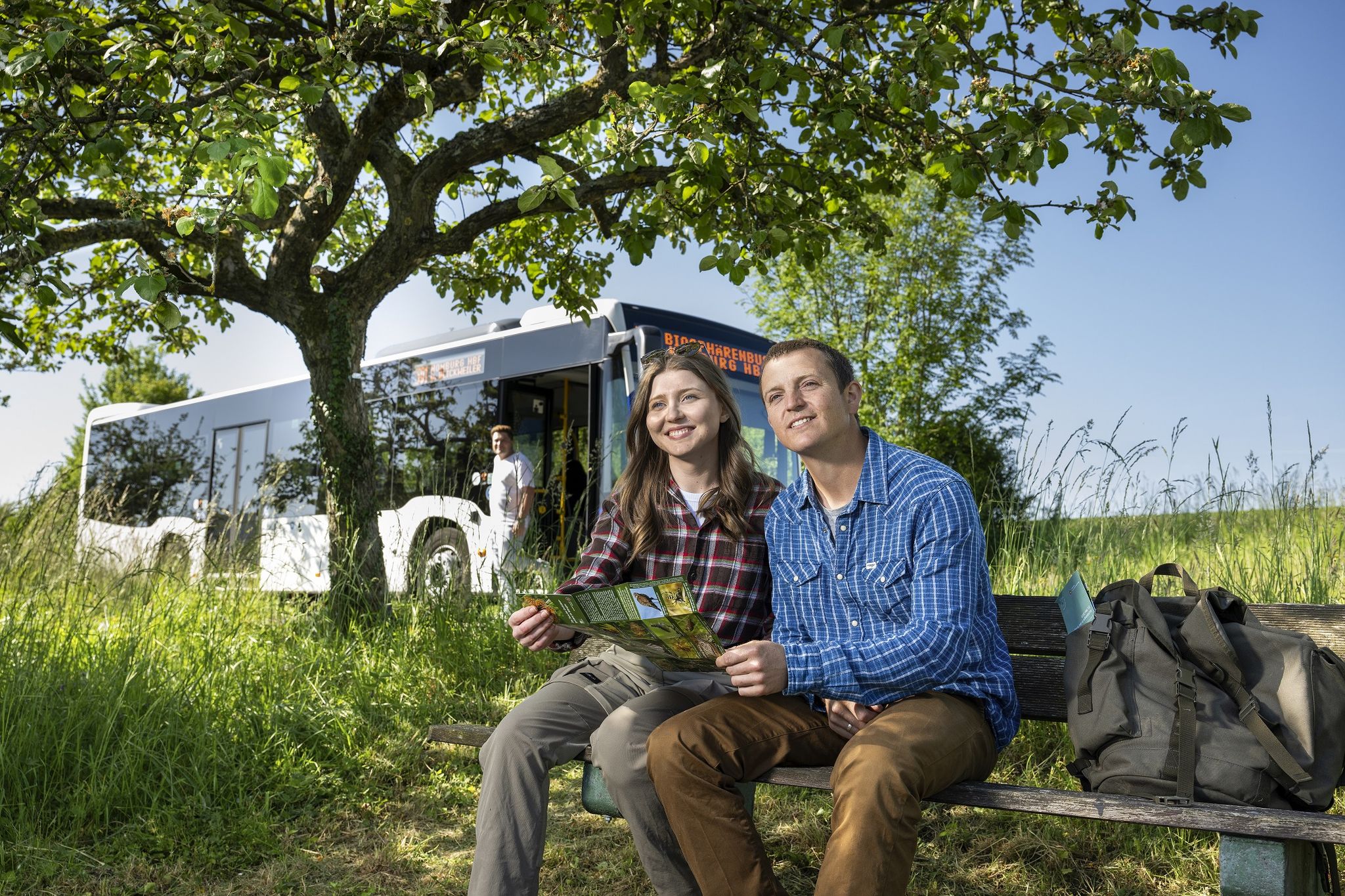
Wandern mit Bus und Bahn – Nachhaltig durch den Bliesgau
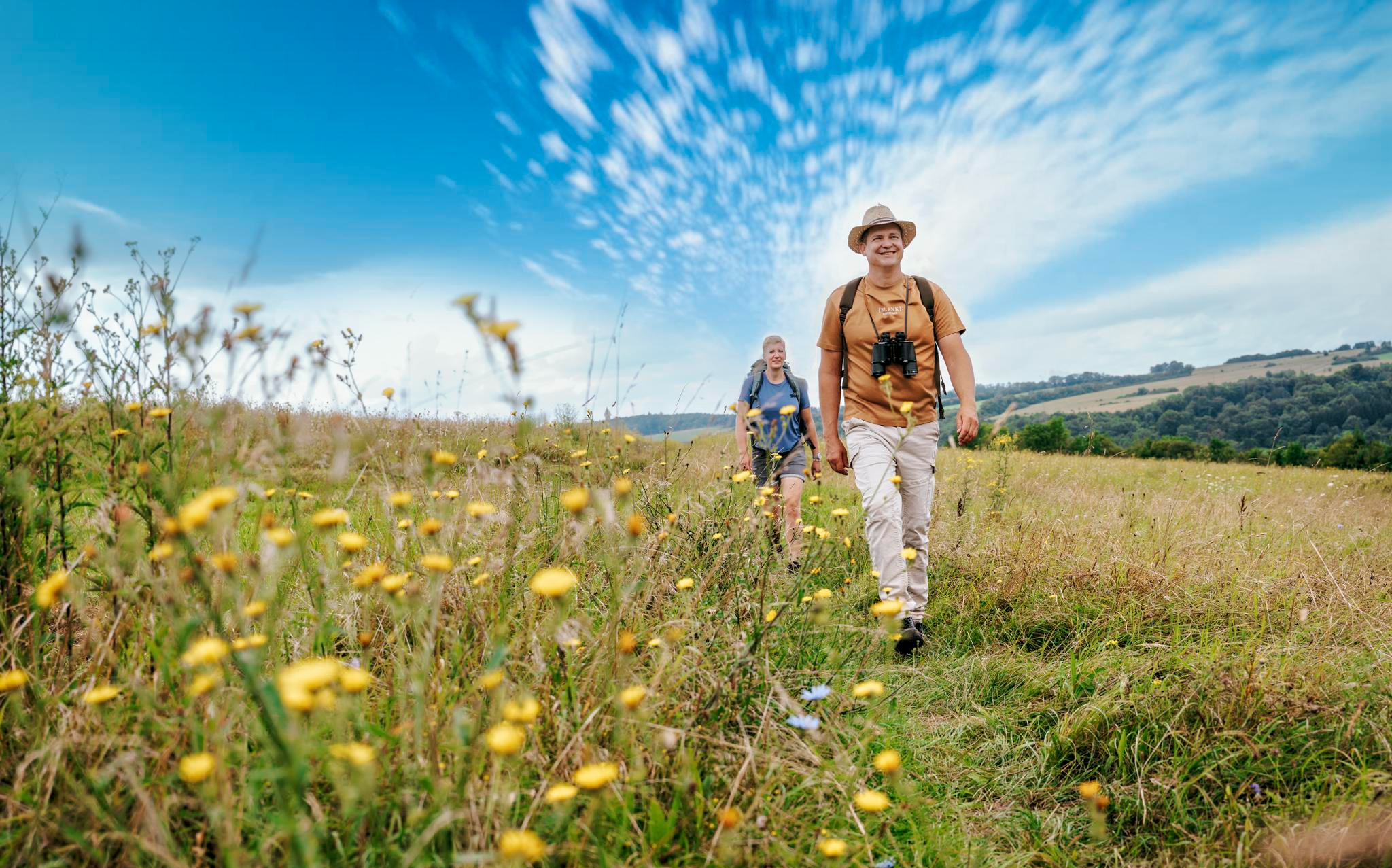
Der Bliessteig: Deutschlands schönster Wanderweg 2025
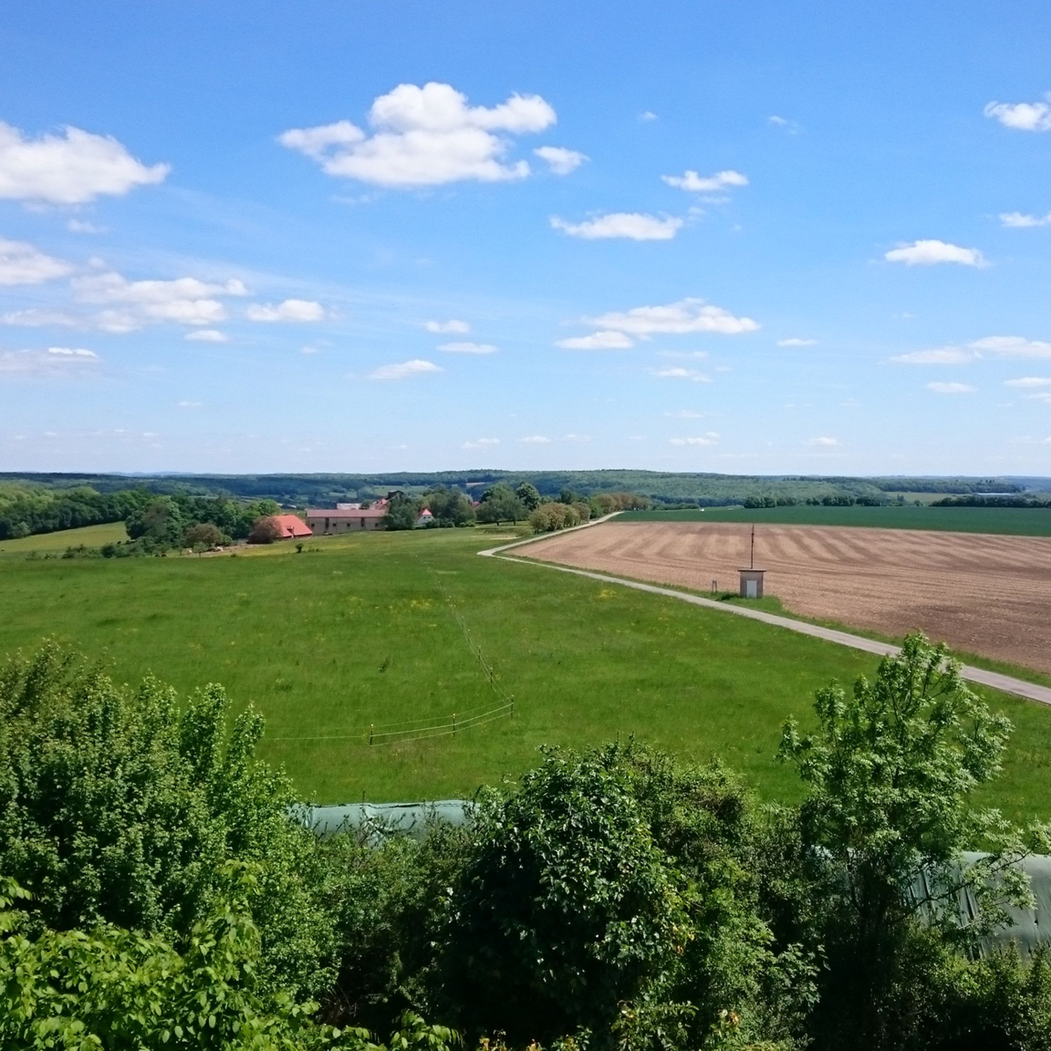
Hiking around Mandelbachtal
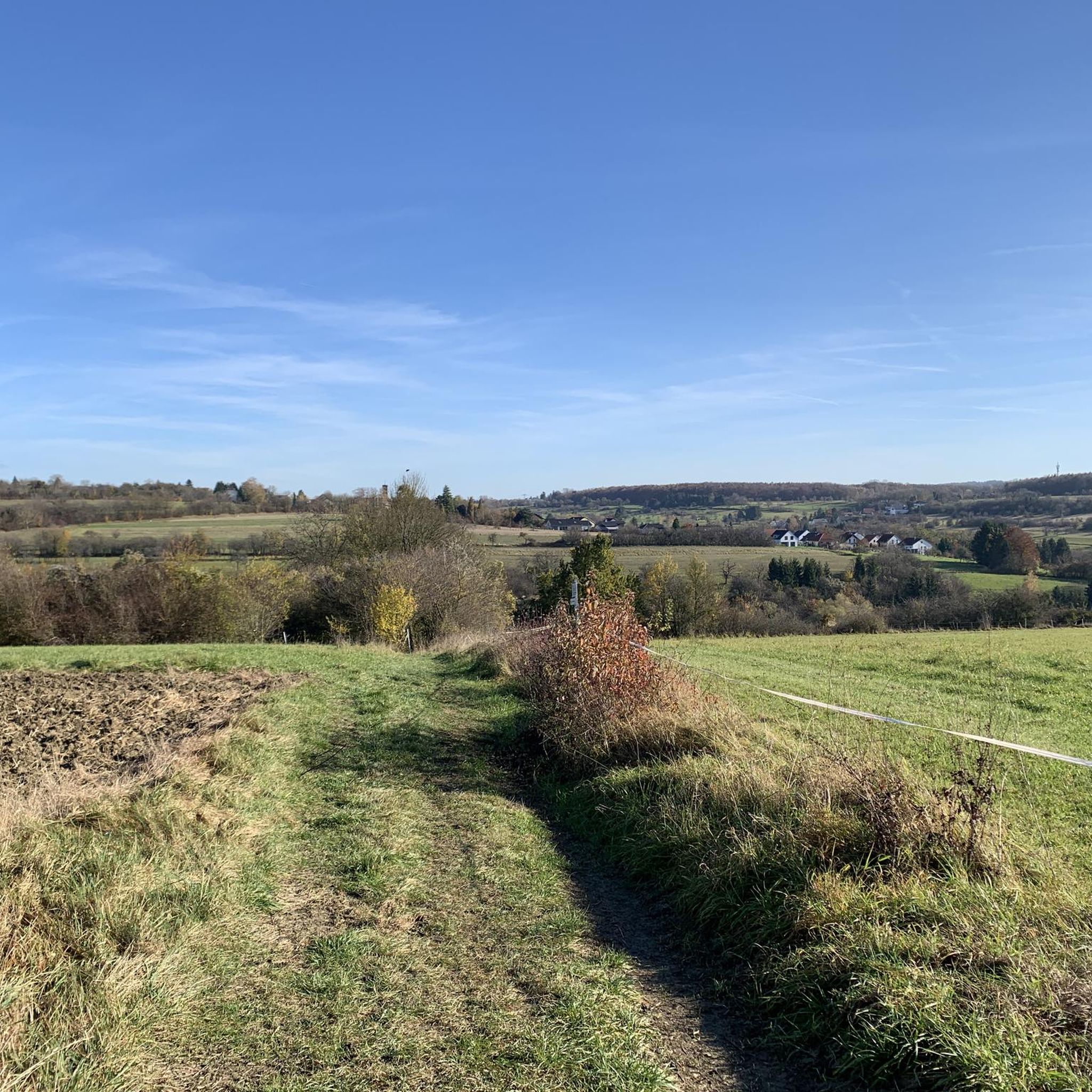
Cycling around Mandelbachtal
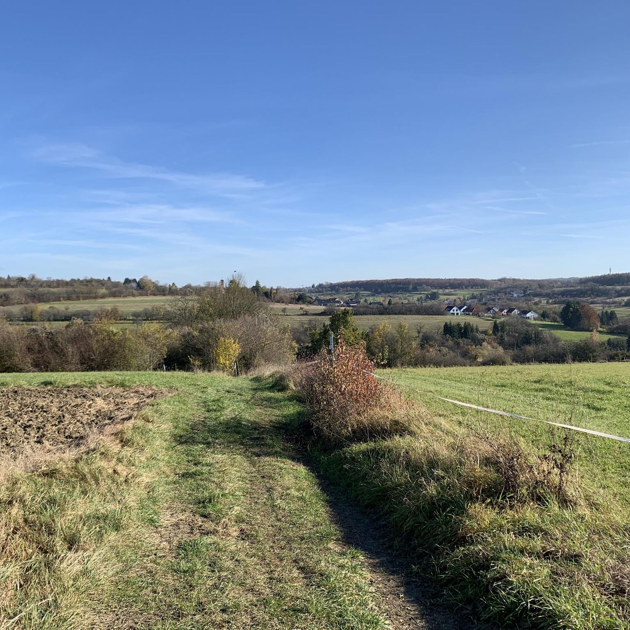
MTB Trails around Mandelbachtal
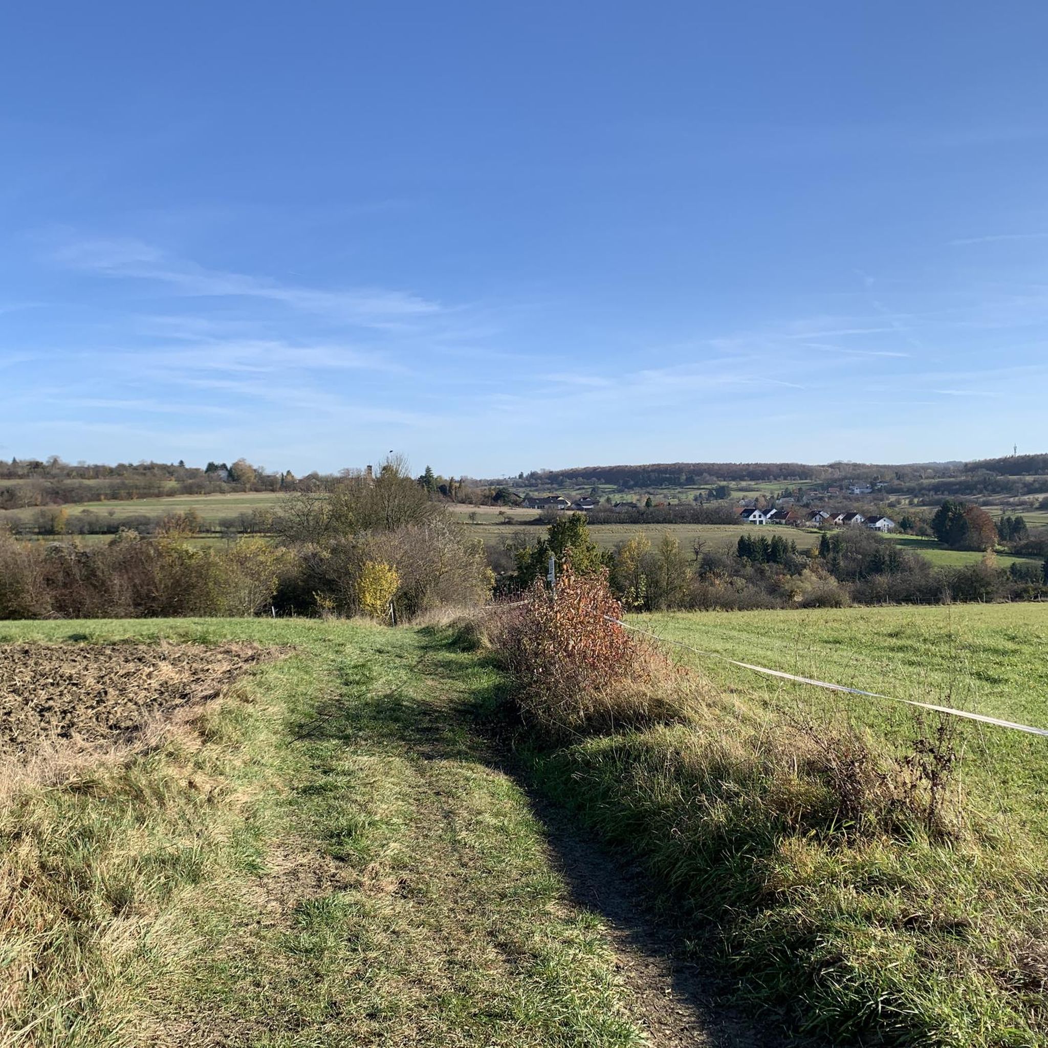
Road Cycling Routes around Mandelbachtal
Running Trails around Mandelbachtal

Gravel biking around Mandelbachtal
Other adventures around Mandelbachtal


Tips from the Community

Tower with a great view towards Saarbrücken and the Mandelbachtal
2
0

The sign and the covered bench at this intersection are very old.
0
1

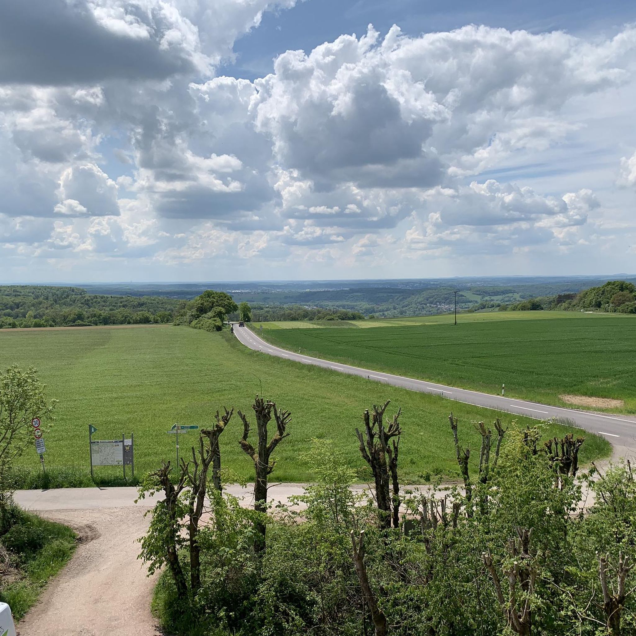
Perfect view of the Mandelbachtal and neighboring France
3
0

I have already done this tour several times since Blies-Ebersing, very nice...
3
1

Beautiful hiking trail great lookout tower
2
0

The Schwarzenburg Tower is a beautiful observation tower with a magnificent view. You can see large parts of the Saarbrücken urban area and the nearby Saarland University. When the weather is good you have distant views as far as France. You can find information about opening times here: https://www.saarbruecken.de/leben_in_saarbruecken/freizeit/im_gruenen/schwarzenbergturm_st_johann
2
0

If you are interested in the historical history of Saarbrücken, you will find a place here that reminds you of the Battle of Spichern in 1870, unfortunately not in very good condition.
0
0

Here are the remains of the Winterberg monument. This was built during the War of 1870.
2
0
Frequently Asked Questions
What are the most notable elevated points in the Mandelbachtal region?
The Mandelbachtal region features several elevated points that offer scenic views and recreational opportunities. Among the most notable are the Heidenkopf Observation Tower, known for its views over fields and into France, and the Schwarzenberg Tower, which provides extensive views over Saarbrücken and towards France on clear days. Another significant point is Franzosenkopf, the highest point in its forest area at 369 meters above sea level.
What is the highest point in Mandelbachtal?
While Mandelbachtal doesn't have towering mountain peaks, its highest elevated points reach approximately 387 to 398 meters (1,270 to 1,306 feet) above sea level. The area around Ormesheim includes an ascent with a maximum elevation of 386 meters (1,266 feet).
Are there family-friendly hiking options around Mandelbachtal's elevated points?
Yes, the region offers several family-friendly options. The Heidenkopf Observation Tower is part of an easy hike loop from Gräfinthal Open-Air Stage, suitable for various fitness levels. Generally, Mandelbachtal's elevated areas are characterized by accessible paths and a network of trails catering to different fitness levels, including easy strolls.
What kind of views can I expect from the observation towers?
From the Heidenkopf Observation Tower, you can expect magnificent views over wide fields and deep into France. The Schwarzenberg Tower offers extensive views over parts of Saarbrücken and the nearby Saarland University, with distant views as far as France on clear days.
What outdoor activities are popular near Mandelbachtal's elevated points?
Hiking is a very popular activity, with a network of trails catering to various fitness levels. The region also offers opportunities for cycling, particularly around Ormesheim, which features a notable ascent for cyclists. You can find many routes for different sports in the area, such as those listed in the Hiking around Mandelbachtal guide.
Are there specific hiking trails associated with the Heidenkopf Observation Tower?
Yes, the Heidenkopf Observation Tower is integrated into the 20 km Natura Trail Mandelbachtal, which also showcases the Bliesgau Biosphere Reserve and Natura 2000 areas. There's also an easy hike loop from Gräfinthal Open-Air Stage that includes the Heidenkopf.
What is the best time to visit Mandelbachtal for hiking and views?
While there isn't a specific 'best' season mentioned, clear days are ideal for enjoying the extensive views from observation points like the Schwarzenberg Tower, where you can see as far as France. Good weather conditions will enhance your experience on the trails and at viewpoints.
What are the typical hiking difficulties around Mandelbachtal's elevated points?
The hiking trails around Mandelbachtal's elevated points cater to various fitness levels. You can find routes ranging from easy strolls, such as the 'Heidenkopf Observation Tower – Gräfinthal Open-Air Stage loop', to moderate hikes like 'Rund um Dalem' or 'Heidenkopf Observation Tower – Haus Lochfeld loop'. You can explore more options in the Hiking around Mandelbachtal guide.
What natural features characterize the Mandelbachtal region?
The Mandelbachtal region is characterized by a picturesque landscape with accessible elevated points, forests, and wide fields. It is situated near the French border and includes areas like the Bliesgau Biosphere Reserve and Natura 2000 sites, offering a blend of natural beauty.
What do visitors particularly enjoy about the elevated points in Mandelbachtal?
Visitors frequently praise the magnificent views from points like the Heidenkopf Observation Tower and the Schwarzenberg Tower, often highlighting the ability to see far into France. The well-maintained paths and great trails around summits like Franzosenkopf are also highly appreciated by the komoot community.
Are there running trails available near the elevated points?
Yes, the region offers various running trails. For example, you can find routes like the 'Heidenkopf Observation Tower – Heidenkopf Observation Tower loop' which is a moderate 7.1 km run. More options are available in the Running Trails around Mandelbachtal guide.
Can I find mountain biking trails in the Mandelbachtal area?
Yes, Mandelbachtal and its surroundings offer mountain biking opportunities. There are moderate MTB trails, some quite long, such as the 'View of Mandelbachtal – Heidenkopf Observation Tower loop' which can be over 36 km. You can explore more routes in the MTB Trails around Mandelbachtal guide.
Most popular routes around Mandelbachtal
Most popular attractions around Mandelbachtal

Get inspired with the komoot mobile app


Explore more
See even more amazing summits around Mandelbachtal with these guides:
