The best walks and hikes in Santa Rosa
4.5
(59)
677
hikers
10
hikes
Hiking in Santa Rosa offers diverse landscapes, from rolling hills and lush forests to wetlands and volcanic terrain. The region is characterized by varied elevations, including challenging mountain climbs and serene lakeside paths. Hikers can explore extensive trail systems that traverse oak woodlands, grasslands, and areas with unique geological features. This environment provides a wide array of outdoor experiences for different skill levels.
Best hiking trails in Santa Rosa
- The most popular hiking route is Main Crater of Irazú Volcano…
Last updated: July 2, 2026
4.5
(27)
236
hikers
Easy hike. Great for any fitness level. Easily-accessible paths. Suitable for all skill levels.
5.0
(5)
124
hikers
17.1km
05:50
780m
780m
Hard hike. Very good fitness required. Mostly accessible paths. Sure-footedness required.

Sign up for free
4.8
(5)
68
hikers
6.89km
02:49
570m
570m
Moderate hike. Good fitness required. Easily-accessible paths. Suitable for all skill levels.
4.9
(8)
78
hikers
6.96km
02:30
320m
320m
Moderate hike. Good fitness required. Mostly accessible paths. Sure-footedness required.
4.2
(5)
57
hikers
Moderate hike. Good fitness required. Mostly accessible paths. Sure-footedness required.
Get access to more routes and recommendations from other explorers.
Sign up for free
Already have an account?
Our route recommendations are based on thousands of hikes, rides, and runs completed by other people on komoot.
Start today with a free account
Your next adventure awaits.
Login or Signup

Tips from the Community

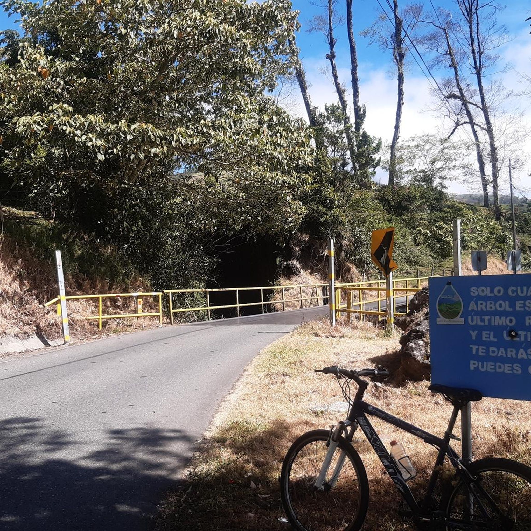
To get here, you can enter Prusia Park and walk along the Cabeza de Vaca Trail, but you'll have to pay a toll to use the access route through Finca Hacienda Retes. Alternatively, you can exit the park through the main entrance and take the first turn on the right onto an asphalt road, also paying a toll. Continue up a steep hill and you'll reach the Cabeza de Vaca Trail again.
0
0
This trail offers spectacular views of Cartago province. Please note that to continue inside the park, you must return along this same trail.
0
0

Here you can buy souvenirs and there is also a small café/bakery
0
0

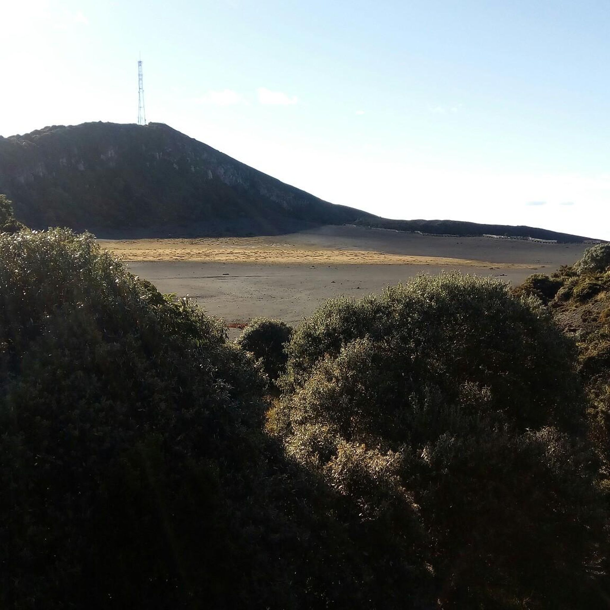
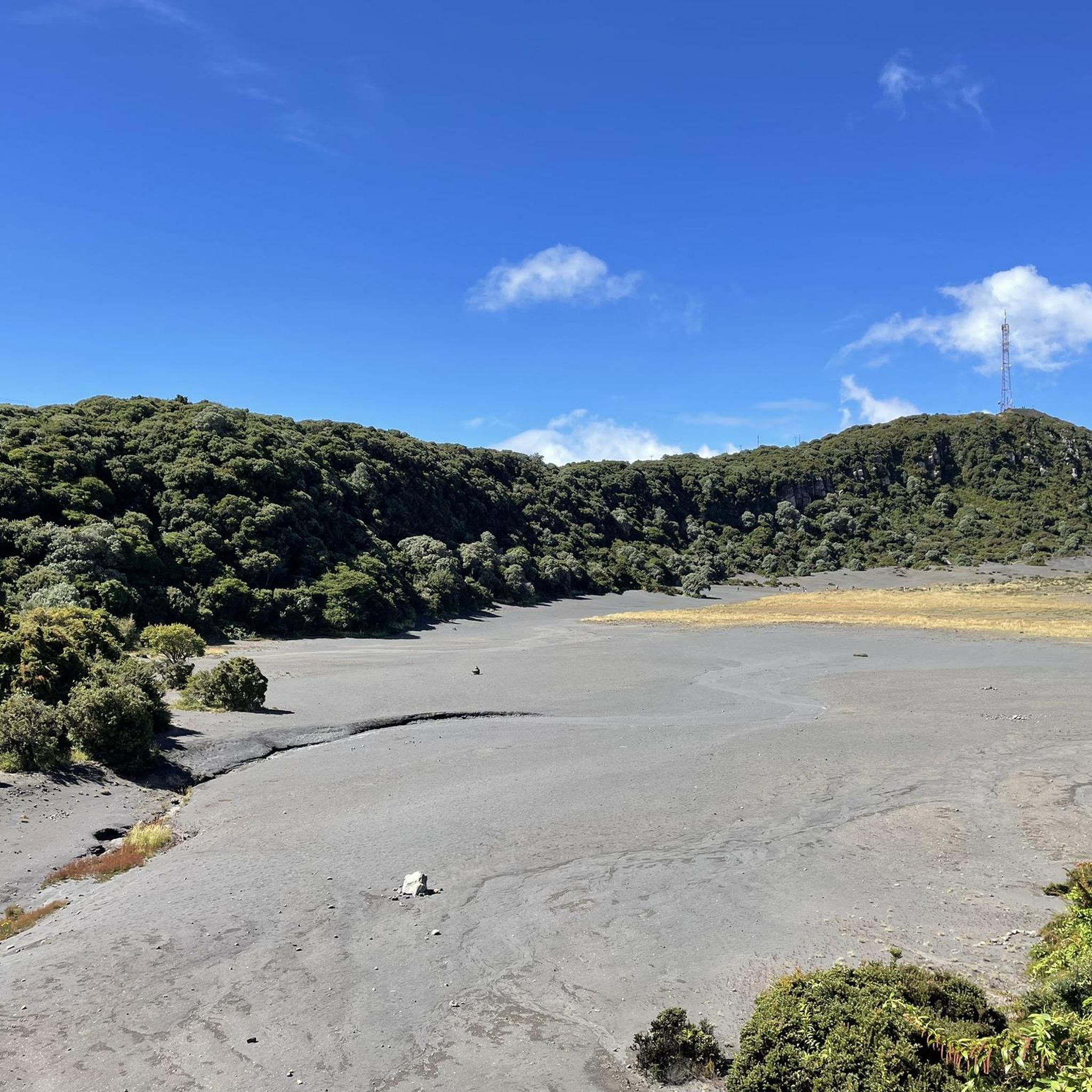
A very beautiful viewpoint. We used the short circular trail to acclimatize/prepare for Cerro Chirripó, as you're at a very high altitude. Due to the altitude, it can be chilly and windy; we were there in April, and a sweater was sufficient. I can definitely recommend visiting the volcano in the morning. Between 8 and 10 a.m., there are hardly any people there, and the sky is usually still clear at this time. Clouds usually move up the mountain from mid-morning onward. The view is magnificent; however, the turquoise lakes aren't visible during the dry season; they're probably only full during the rainy season. There's a small restaurant that leaves nothing to be desired; all in all, it's fantastic.
0
0

A visit worth it for volcano lovers. Recommended in the morning
0
0
Access requires online reservation. Access is possible until 1 p.m., so it makes sense to hike the Prusia sector in the morning and then visit the Irazu volcano.
0
0

Very windy but beautiful.
0
0
Very windy but beautiful.
1
0
Frequently Asked Questions
What types of landscapes can I expect to see while hiking in Santa Rosa?
Santa Rosa offers an incredibly diverse range of landscapes for hikers. You can explore rolling hills, lush forests, tranquil lakes, and extensive trail systems that traverse oak woodlands and grasslands. The region also features unique geological formations, including volcanic rock, and serene wetlands like the Laguna de Santa Rosa.
Are there any easy, family-friendly hiking options in Santa Rosa?
Yes, Santa Rosa has several excellent options for easy, family-friendly hikes.
Spring Lake Regional Park is a great choice, offering a flat, paved 2.3-mile trail that circles the lake, suitable for all fitness levels, including families with strollers or individuals using wheelchairs. It also connects to Howarth Park for extended easy walks. The Santa Rosa Creek Trail and Prince Memorial Greenway also provide a peaceful urban escape along the creek.
Where can I find challenging hikes with significant elevation gain in Santa Rosa?
For those seeking more challenging hikes, Taylor Mountain Regional Park and Open Space Preserve offers trails leading to a 1,380-foot summit with breathtaking panoramic views. Hood Mountain Regional Park and Open Space Preserve is another excellent choice, featuring diverse landscapes and challenging trails, with Gunsight Rock providing incredible vistas on clear days. Additionally, North Sonoma Mountain Regional Park and Open Space Preserve has a 3.7-mile Ridge Trail ascending to nearly 2,000 feet.
Are there any hiking trails in Santa Rosa that are good for bird-watching?
Absolutely. The Laguna de Santa Rosa Trail is an exceptional spot for bird-watching. This 1.8-mile multi-use trail winds through Sonoma County's largest freshwater wetland, showcasing a biologically diverse landscape with vernal pools, riparian woodlands, and valley oak savannah, making it a prime habitat for various bird species.
What are some notable natural features or landmarks to look out for on Santa Rosa's trails?
Santa Rosa's trails are rich with natural beauty. You can find tranquil lakes like Lake Ilsanjo in Trione-Annadel State Park, which is also known for its vibrant wildflowers and ancient oaks. Taylor Mountain Regional Park offers panoramic views from its summit. For unique geological features, some areas feature volcanic rock formations. Additionally, the majestic old-growth redwoods of Armstrong Redwoods State Natural Reserve are a short drive away, offering a truly awe-inspiring experience.
Can I hike with my dog on trails in Santa Rosa?
Many parks and trails in Santa Rosa are dog-friendly, though leash regulations and specific trail access may vary. It's always best to check the specific park's rules before heading out. Generally, regional parks often have designated areas or trails where dogs are permitted on leash.
Are there any circular hiking routes available in Santa Rosa?
Yes, many of Santa Rosa's parks offer excellent loop trails. For instance, Spring Lake Regional Park features a popular 2.3-mile loop around the lake. Within Trione-Annadel State Park, you can find various loop options, including the challenging Rough Go Loop, allowing you to explore different sections of the park's diverse terrain.
What is the best time of year to go hiking in Santa Rosa?
Santa Rosa offers great hiking opportunities year-round, but the best time often depends on your preference. Spring brings vibrant wildflowers and mild temperatures, while fall offers pleasant weather and beautiful foliage. Summers can be warm, so early morning or late afternoon hikes are recommended. Winters are generally mild, though trails can be muddy after rain, and the wetlands, like the Laguna de Santa Rosa, transform dramatically when flooded.
What do other hikers enjoy most about hiking in Santa Rosa?
The hiking experiences in Santa Rosa are highly rated by the komoot community, with an average score of 4.6 stars from over 50 reviews. Hikers often praise the region's diverse landscapes, from serene lakeside paths to challenging mountain climbs, and the abundance of well-maintained trails that cater to all skill levels. The panoramic views from summits and the opportunity to spot wildlife are also frequently highlighted.
Are there any trails that offer views of the Sonoma Valley or Mayacamas Mountains?
Yes, for stunning views of the Sonoma Valley and the Mayacamas Mountains, Taylor Mountain Regional Park and Open Space Preserve is an excellent choice. From its 1,380-foot summit, you can enjoy breathtaking panoramic vistas of central Sonoma County, the Laguna de Santa Rosa, and the Mayacamas Mountains. North Sonoma Mountain Regional Park and Open Space Preserve also boasts sweeping views of Sonoma Valley from its Ridge Trail.
What kind of wildlife might I encounter on Santa Rosa's hiking trails?
Santa Rosa's diverse ecosystems support a variety of wildlife. In parks like Trione-Annadel State Park, you might spot deer, California newts, various birds, and butterflies. Taylor Mountain Regional Park is home to mountain lions, deer, and California red-legged frogs. The wetlands of the Laguna de Santa Rosa Trail are particularly rich in birdlife. Always remember to observe wildlife from a respectful distance.
Are there any urban hiking trails or greenways in Santa Rosa?
Yes, Santa Rosa offers pleasant urban hiking experiences. The Santa Rosa Creek Trail and Prince Memorial Greenway provide a peaceful escape, meandering along the creek with views of nearby farms, vineyards, and mountains. Spring Lake Regional Park, while a regional park, functions as an urban oasis with its accessible lake loop, and connects directly to Howarth Park for extended recreational possibilities within the city.
Most popular attractions in Santa Rosa

Get inspired with the komoot mobile app


Explore more
Browse the best Hikes in other regions.
