The best road cycling routes in Dulce Nombre
4.6
(52)
1,894
riders
25
rides
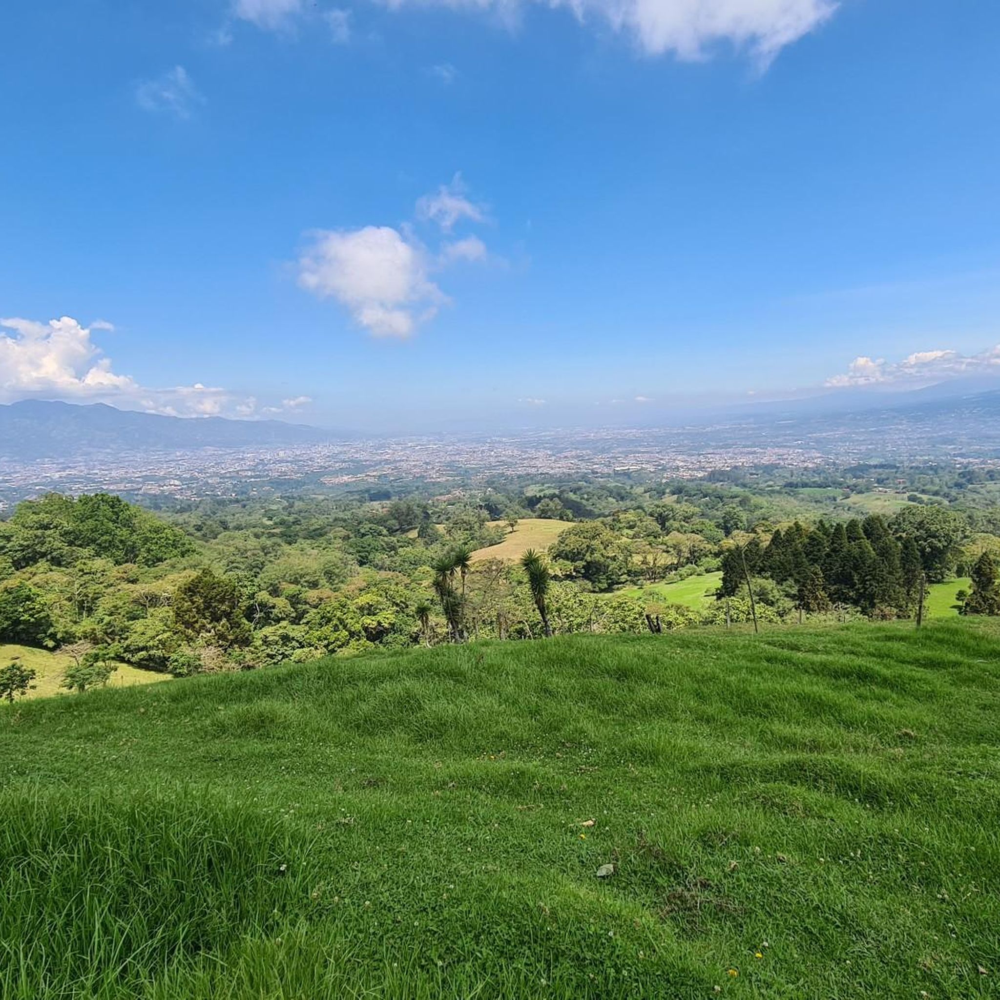
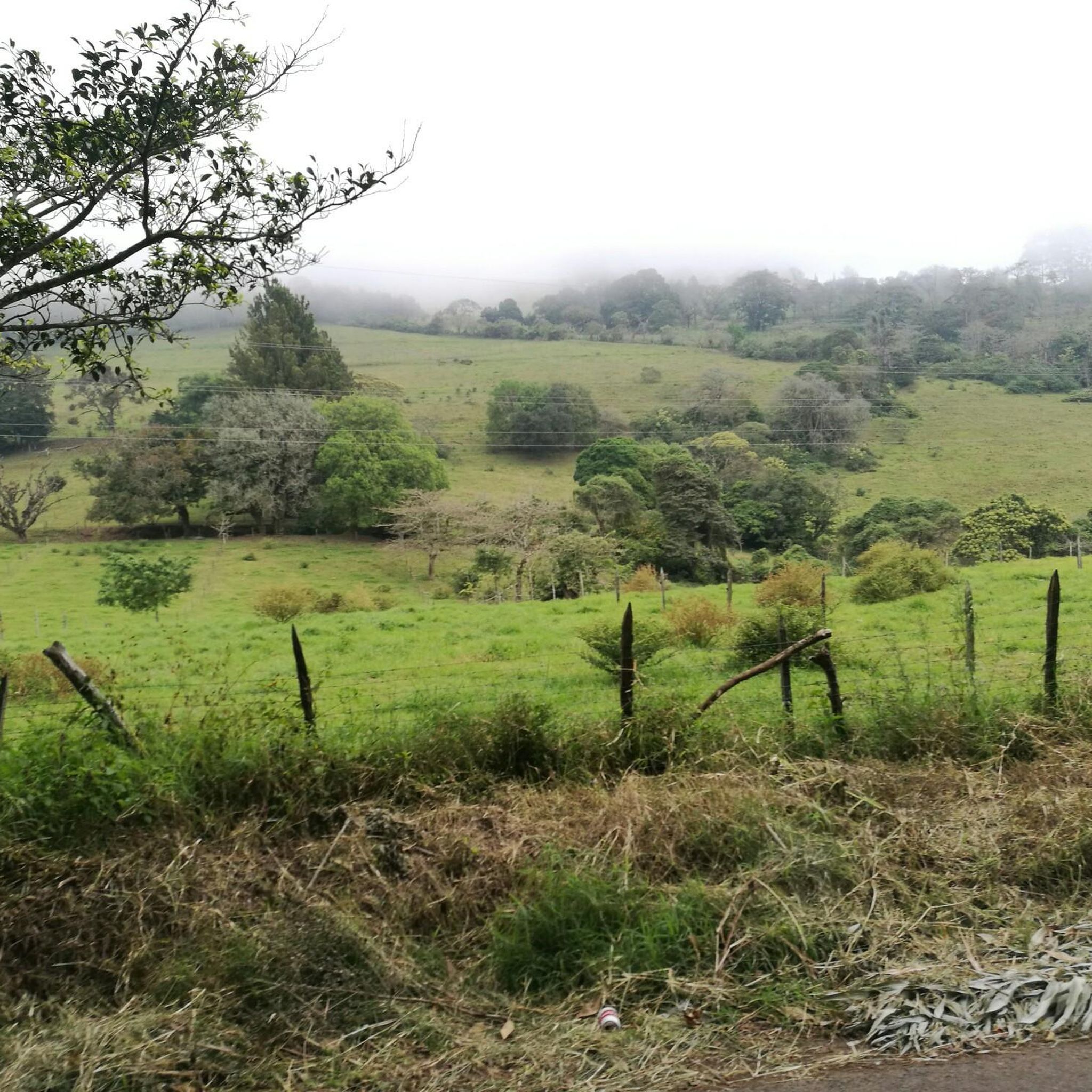
Road cycling routes in Dulce Nombre are characterized by a mountainous and hilly landscape, situated at an elevation of approximately 4,400 feet (1,340 meters). This region offers varied terrain with significant ascents and descents, providing challenging conditions for road cyclists. Lush vegetation covers much of the area, contributing to a scenic riding experience. The routes traverse diverse landscapes, from canyons to areas with panoramic views.
Best road cycling routes in Dulce Nombre
- The most popular road cycling route is Cachi…
Last updated: July 1, 2026
4.7
(12)
349
riders
70.0km
03:26
1,030m
1,030m
Hard road ride. Very good fitness required. Mostly well-paved surfaces and easy to ride.
4.9
(8)
201
riders
97.2km
04:47
1,490m
1,490m
Hard road ride. Very good fitness required. Mostly well-paved surfaces and easy to ride.

Sign up for free
4.7
(7)
161
riders
87.5km
04:29
1,470m
1,470m
Hard road ride. Very good fitness required. Mostly well-paved surfaces and easy to ride.
4.8
(5)
158
riders
105km
05:51
2,220m
2,220m
Hard road ride. Very good fitness required. Mostly well-paved surfaces and easy to ride.
5.0
(3)
134
riders
Moderate road ride. Good fitness required. Mostly well-paved surfaces and easy to ride.
Get access to more routes and recommendations from other explorers.
Sign up for free
Already have an account?
Our route recommendations are based on thousands of hikes, rides, and runs completed by other people on komoot.
Start today with a free account
Your next adventure awaits.
Login or Signup
Popular around Dulce Nombre

Tips from the Community


Only one way, north-south direction
0
0

Going in the summer helps you appreciate the place.
0
1
The place is very spacious, it is recommended to go in summer for good photos, completely pedalable. You can see the video "Basilica de los Angeles" on our Official Channel "BIKERS COSTA RICA" https://www.facebook.com/reel/1191863962050845
0
1

A green oasis. One of the largest in the city.
2
0

Plenty of water or moisturizer as it is quite hot
0
0

excellent place
0
0

Frequently Asked Questions
How many road cycling routes are available in Dulce Nombre?
Dulce Nombre offers a comprehensive network of over 25 road cycling routes. These routes cater to various skill levels, with a focus on moderate to difficult terrain.
What is the general difficulty level of road cycling in Dulce Nombre?
Road cycling in Dulce Nombre is predominantly challenging due to its mountainous and hilly landscape. There are 10 moderate routes and 17 difficult routes, with no easy options, making it ideal for cyclists seeking a rigorous experience.
What kind of terrain can I expect on road cycling routes in Dulce Nombre?
You can expect varied terrain characterized by significant ascents and descents, as Dulce Nombre is situated at approximately 4,400 feet (1,340 meters) elevation. The routes are set amidst lush vegetation, offering a scenic and immersive natural experience.
Are there any routes with significant elevation gain?
Yes, many routes feature substantial elevation gain. For instance, the The Second Wind – Panther Mountain loop from ULatina (Lourdes) is a difficult 65.7-mile (105.8 km) path with over 2,200 meters of elevation gain, providing a demanding climb.
What are some notable natural features or landmarks I might see while cycling?
The region is rich in natural beauty, including lush vegetation and cloud forests. While cycling, you might encounter panoramic views of the mountainous landscape. The Cachi Dam – Copatchi loop from Quircot, for example, explores the Reventazón Canyon and passes by the Cachí artificial lake, offering diverse scenery.
Are there any family-friendly road cycling routes in Dulce Nombre?
Given the mountainous and hilly terrain, most road cycling routes in Dulce Nombre are classified as moderate to difficult, making them less suitable for young children or beginners. There are no easy routes specifically designated as family-friendly for road cycling.
What do other cyclists say about road cycling in Dulce Nombre?
The road cycling routes in Dulce Nombre are highly rated by the komoot community, with an average score of 4.7 stars from over 60 reviews. Cyclists often praise the challenging climbs, the stunning natural scenery, and the rewarding descents through lush landscapes.
Are there any attractions near the cycling routes that I can explore?
Yes, there are several attractions nearby. You could visit the Basilica of Our Lady of the Angels or the National Theatre of Costa Rica. The region also boasts the Lankester Botanical Garden and is relatively close to Poás Volcano National Park, offering diverse points of interest.
Are most road cycling routes in Dulce Nombre loop trails?
Yes, many of the road cycling routes in Dulce Nombre are designed as loops, allowing you to start and finish at the same point. An example is the El Fortín loop from ULatina (Lourdes), a difficult 59.7-mile (96.1 km) path that offers a rigorous circular cycling experience.
What is a good route for an experienced cyclist looking for a long, challenging ride?
For experienced cyclists seeking a long and challenging ride, the Santa Ana Park Sports Complex – Large Tree in Residential Area loop from Tres Ríos is an excellent choice. This difficult route spans 54.3 miles (87.5 km) and features significant elevation changes, providing a demanding and rewarding experience.
Are there any moderate-difficulty road cycling routes?
Yes, while many routes are difficult, there are 10 moderate-difficulty road cycling routes available. A good option is the Large Tree in Residential Area – Santa Ana Park Sports Complex loop from ULatina (Lourdes), a 30.0-mile (48.3 km) trail that offers a substantial ride without the extreme demands of the most difficult routes.
Most popular routes in Dulce Nombre
Most popular attractions in Dulce Nombre

Get inspired with the komoot mobile app


Explore more
Browse the best Road cycling routes in other regions.
