The best cycling routes in Orotina
5.0
(2)
128
riders
11
rides
Touring cycling in Orotina, Costa Rica, offers diverse routes through a region known as "the Fruit Town." Situated at an elevation of 229 meters on the western side of Costa Rica's coastal mountain range, the area features a blend of tranquil rural scenery and varied ecosystems. Cyclists can explore lush forests, verdant surroundings, and access numerous panoramic viewpoints such as El Picacho Peak and Cerro de la Cruz. The Tárcoles River is another significant natural feature in the area, contributing…
Last updated: July 16, 2026
37
riders
50.1km
03:34
600m
600m
Hard bike ride. Very good fitness required. Mostly paved surfaces. Suitable for all skill levels.
5.0
(1)
12
riders
28.0km
02:04
650m
650m
Hard bike ride. Very good fitness required. Mostly paved surfaces. Suitable for all skill levels.

Sign up for free
10
riders
32.2km
02:15
620m
620m
Hard bike ride. Very good fitness required. Mostly paved surfaces. Suitable for all skill levels.
12
riders
33.1km
02:50
410m
410m
Moderate bike ride. Good fitness required. Mostly paved surfaces. Suitable for all skill levels.
11
riders
83.6km
05:24
1,100m
1,100m
Hard bike ride. Very good fitness required. Mostly paved surfaces. Suitable for all skill levels.
Get access to more routes and recommendations from other explorers.
Sign up for free
Already have an account?
Our route recommendations are based on thousands of hikes, rides, and runs completed by other people on komoot.
Start today with a free account
Your next adventure awaits.
Login or Signup
Popular around Orotina

Tips from the Community

Perfect for photos. With Kroko about the bridge.
0
0
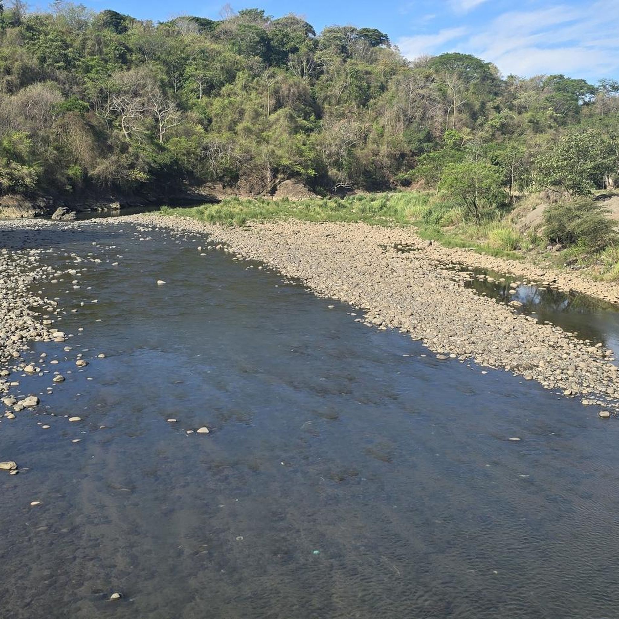
Be careful with your camera and your cell phone! If something falls down, it is irretrievably gone. We strongly advise against going down… the name says it all
0
0

There is a large number of free parking spaces to the north, so you can comfortably walk across the bridge and watch the crocodiles in their habitat. You should beware of the street vendors & decline them with thanks.
1
0


A bridge across a river with crocodiles. The bridge is high enough to feel safe but you get to get pretty close. Those beasts are massive - probably 5m long some of them. I visited twice - once late in the afternoon (around 5) and once in the morning (around 6:30) and morning seems better because more of them were on land so they were easier to observe. Also, in the morning I was the only person on the bridge, in the afternoon there were loads of people, which is a bit dangerous with very narrow side walk and traffic.
0
0
Frequently Asked Questions
How many touring cycling routes are available in Orotina?
Orotina offers a selection of over a dozen touring cycling routes. These routes cater to various fitness levels, with options ranging from moderate to difficult, allowing cyclists to explore the region's diverse landscapes.
What is the best time of year to go touring cycling in Orotina?
Orotina enjoys consistent warm weather, typically in the 80s Fahrenheit, making it suitable for year-round outdoor activities, including cycling. However, be prepared for humidity and ensure you stay well-hydrated during your rides.
Are there any beginner-friendly touring cycling routes in Orotina?
While many routes in Orotina are rated as difficult, there are a couple of moderate options available. For instance, the Lago Vero – Vero Waterway loop from Parada Soda Nidia is a moderate 33.1 km route that offers a less strenuous experience through the area's scenic beauty.
What kind of terrain can I expect on touring cycling routes in Orotina?
Orotina's touring cycling routes feature a mix of terrain. While the town itself is relatively flat, many routes involve steep but manageable hills as they connect the Central Valley to the Pacific coast. You'll cycle through lush forests, verdant surroundings, and enjoy panoramic viewpoints, often encountering varied ecosystems.
Are there any circular touring cycling routes in Orotina?
Yes, many of the touring cycling routes in Orotina are designed as loops, offering convenient starting and ending points. Examples include the challenging Vero Waterway – Lago Vero loop from Parada San Jeronimo and the Bike loop from San Juan de Mata, both providing a complete circuit through the region's landscapes.
What are some scenic viewpoints or natural features I can see while cycling in Orotina?
Orotina is rich in natural beauty. Cyclists can enjoy stunning vistas from panoramic viewpoints such as El Picacho Peak, Cerro de la Cruz, Monte Verde, and Peñas Blancas. The Tárcoles River is another significant natural feature you might encounter, known for its wildlife.
What do other touring cyclists say about their experience in Orotina?
The touring cycling routes in Orotina are highly rated by the komoot community, with an average score of 5.0 stars. Cyclists often praise the diverse ecosystems, lush forests, and the opportunity to experience the tranquil rural scenery away from heavily trafficked highways.
Are there any particularly challenging touring cycling routes in Orotina?
For experienced cyclists seeking a challenge, Orotina offers several difficult routes. The Statue in Herradura, Jacó – Crocodile Statue at Tárcoles loop from Orotina is a demanding 83.6 km route with significant elevation gain, providing a rigorous test of endurance and offering expansive views.
Can I avoid busy highways when cycling in Orotina?
Yes, Orotina offers routes that allow cyclists to avoid the dangerous Interamerican Highway and Route 27, which are known for heavy truck traffic. There are alternative routes, including an 'old road' between Heredia and Orotina, that provide a more pleasant and safer cycling experience through scenic landscapes.
What kind of wildlife can I expect to see near the cycling routes?
The region around Orotina is known for its biodiversity. While cycling, you might spot various bird species, including vibrant scarlet macaws, especially near the Macaw Rehabilitation Center. Areas like Carara National Park, though a short drive away, are famous for crocodiles along the Tárcoles River and diverse wildlife like sloths and capuchin monkeys in Manuel Antonio National Park.
Are there any routes that pass by local attractions or points of interest?
Many routes offer glimpses of the region's character. For example, the Atenas Food Cart loop from Escobal takes you through rural scenery, potentially offering opportunities to experience local life. The region is known as 'the Fruit Town,' so you might pass by local fruit stands and agricultural areas.
Most popular routes in Orotina

Get inspired with the komoot mobile app


Explore more
Browse the best Cycling routes in other regions.
