The best walks and hikes in San Antonio
4.8
(4)
18
hikers
3
hikes
Hiking in San Antonio offers a diverse range of outdoor experiences, situated at the edge of the Texas Hill Country. The landscape features a blend of urban green spaces, rugged canyons, and limestone ridges. This terrain provides varied options, from flat trails along waterways to climbs offering panoramic views of the rolling hills.
Best hiking trails in San Antonio
- The most popular hiking route is Costa Rica Sign – The Hand of Mantra loop from Santa Ana, a 6.9…
Last updated: July 2, 2026
4.5
(2)
9
hikers
11.2km
03:27
380m
380m
Moderate hike. Good fitness required. Easily-accessible paths. Suitable for all skill levels.
5.0
(2)
6
hikers
9.93km
03:50
710m
710m
Moderate hike. Good fitness required. Easily-accessible paths. Suitable for all skill levels.

Sign up for free
3
hikers
8.72km
02:20
100m
90m
Moderate hike. Good fitness required. Easily-accessible paths. Suitable for all skill levels.
Our route recommendations are based on thousands of hikes, rides, and runs completed by other people on komoot.
Start today with a free account
Your next adventure awaits.
Login or Signup

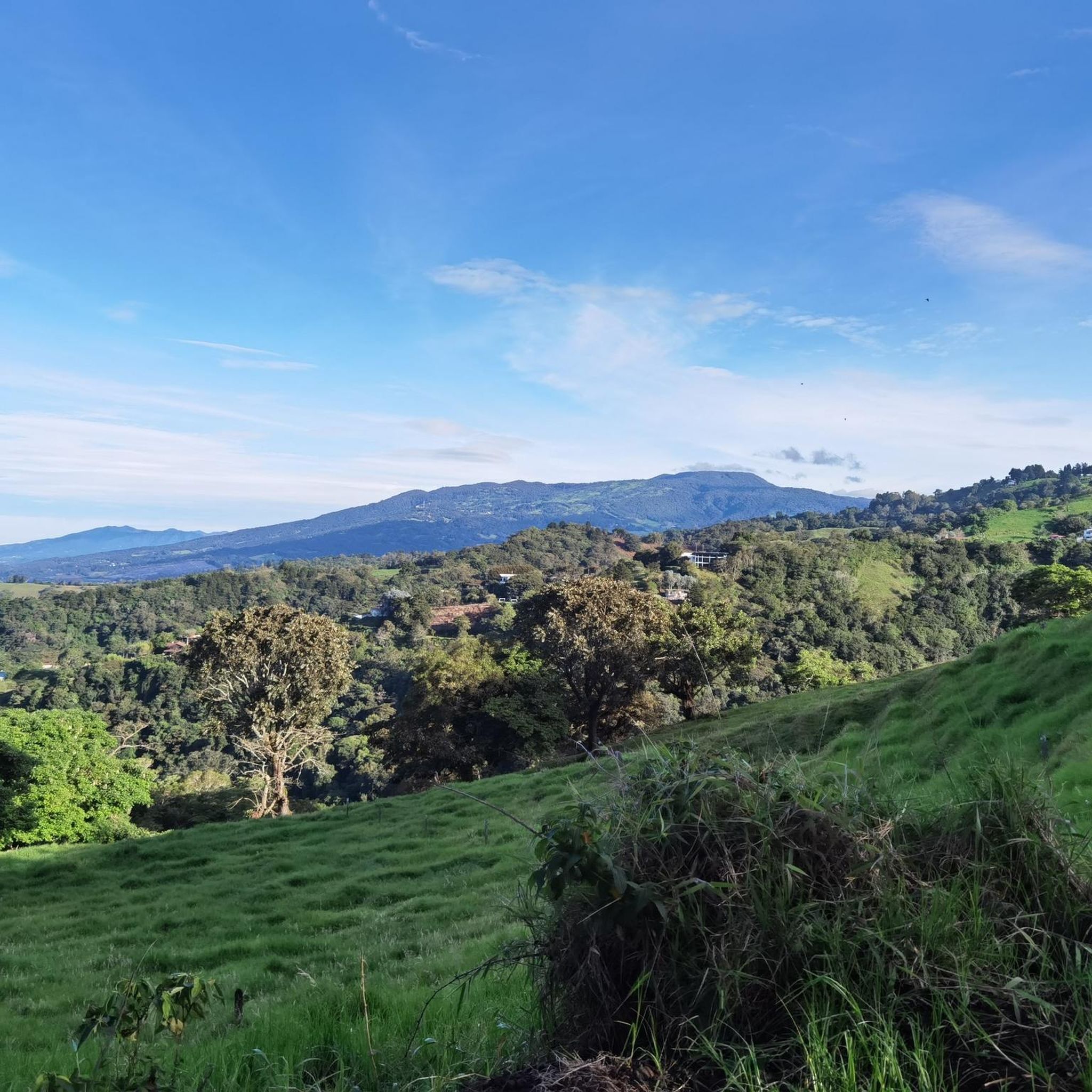
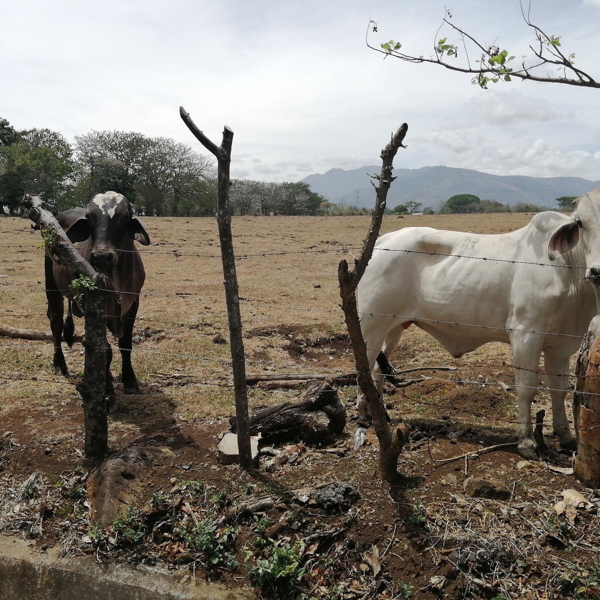
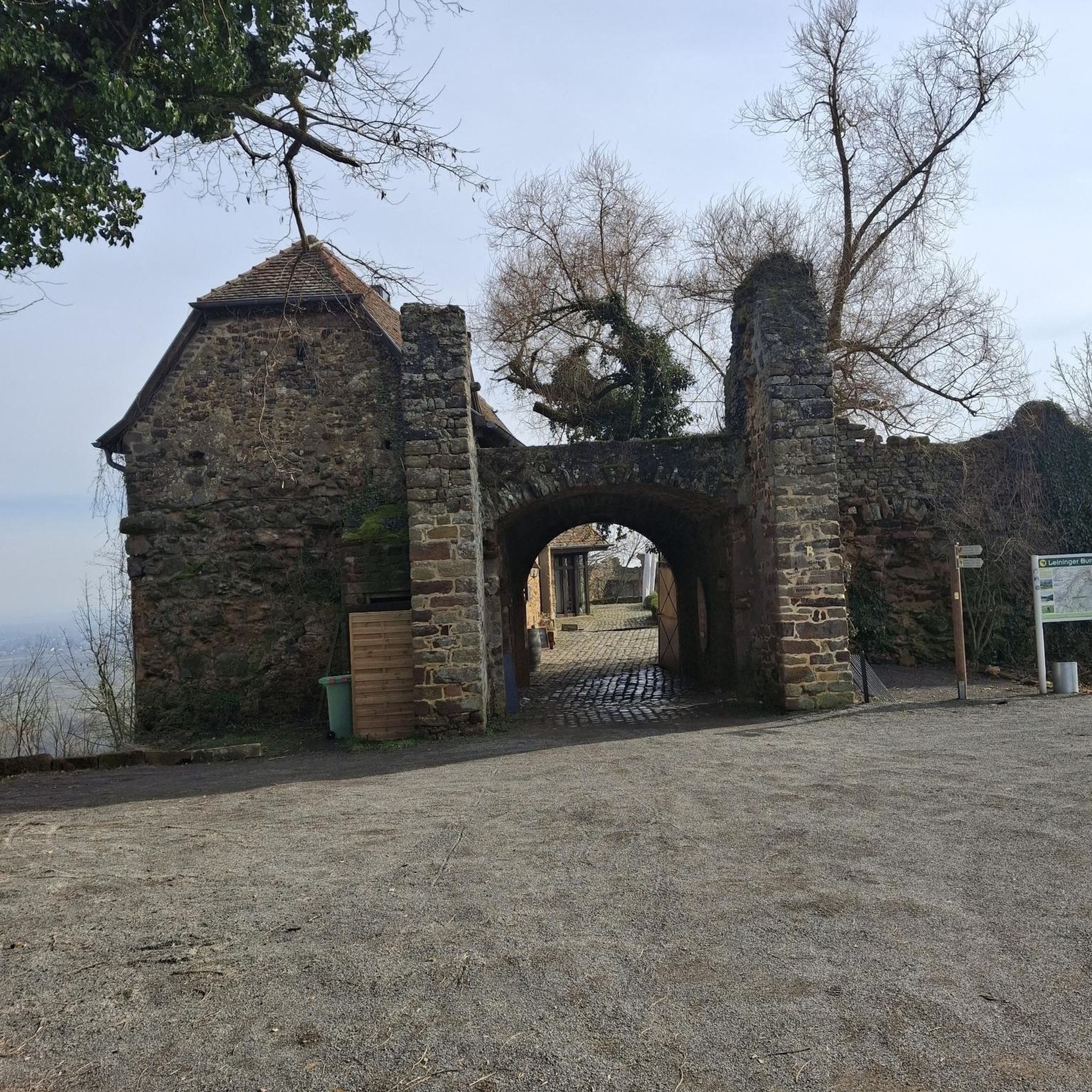
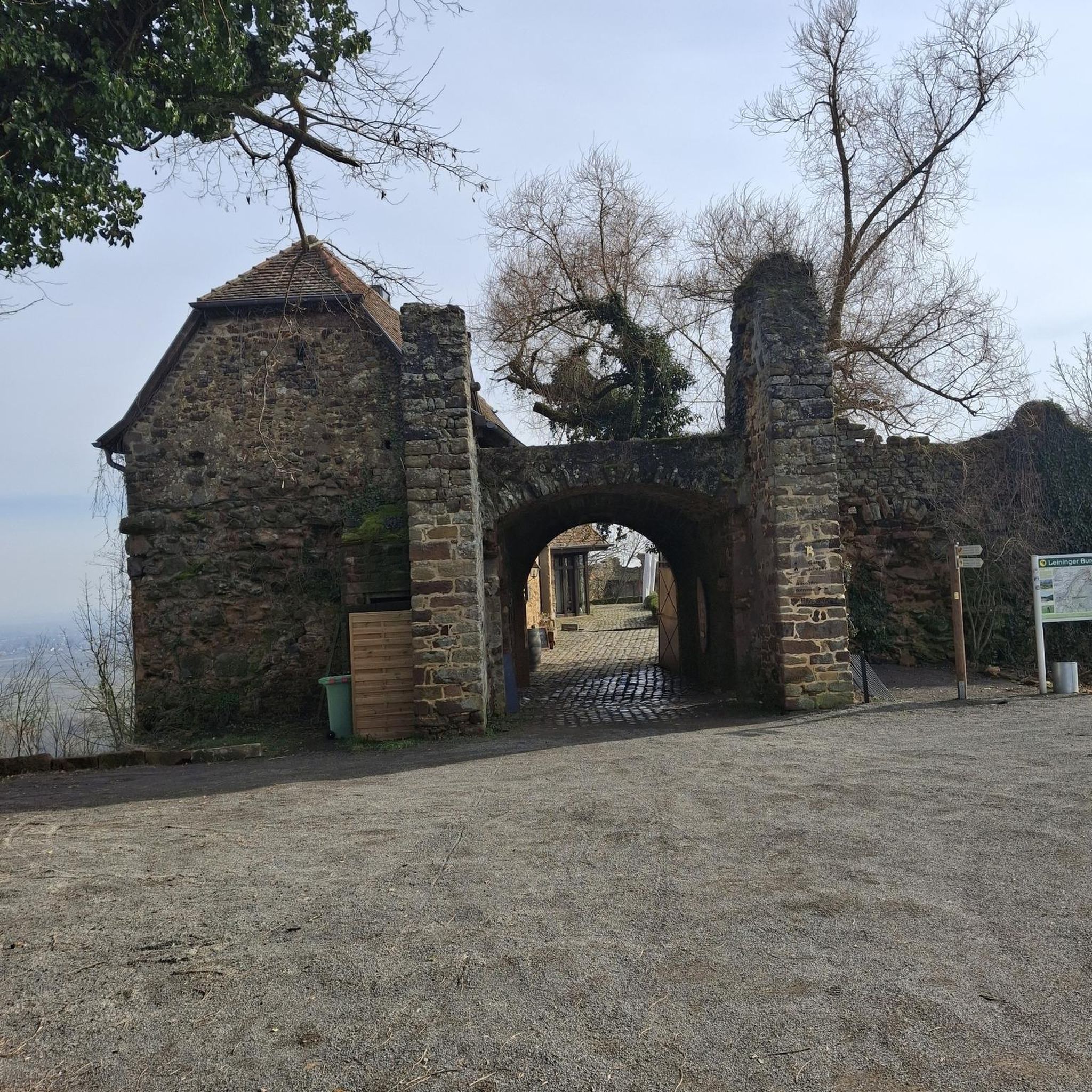
Tips from the Community

This work was made by the Costa Rican artist Leda Astorga in 1999. She is internationally renowned for her artistic ability, creativity and the expression of her work. The work responds to the recovery plan of public spaces, of history and identity of Alajuela. It is being carried by the municipality, to make clear the spirit of friendship, joy and peaceful coexistence.
1
0
A beautiful place, but said to be one of the more dangerous places in the city after sunset.
1
0
A small park where many locals hang out. Parrots can be seen here from time to time. Right next door is an impressive cathedral.
2
0

Another highlight of the Mantra Trail. The “I” is missing so please put it in the right place.😜
0
0

Frequently Asked Questions
What kind of landscapes can I expect to see while hiking in San Antonio?
San Antonio's hiking trails offer a diverse blend of urban green spaces and the rugged beauty of the Texas Hill Country. You'll find everything from relatively flat, shaded trails along waterways to challenging climbs with panoramic vistas. Expect to encounter limestone ridges, canyons, and areas rich in diverse flora and fauna, such as towering pecan and cypress trees, honey mesquite, and cacti.
Are there any challenging hikes near San Antonio for experienced hikers?
Yes, for those seeking a challenge, areas like Friedrich Wilderness Park offer approximately 10 miles of trails with steep hills and deep canyons. Government Canyon State Natural Area also features rugged canyons and limestone ridges, providing challenging treks and breathtaking views from trails like the Bluff Spurs Trail. Lost Maples State Natural Area, a bit further out, is known as a 'hiker's paradise' with over 10 miles of challenging trails.
Where can I find trails with scenic views in San Antonio?
Many parks offer scenic views. Eisenhower Park features the Eisenhower Tower, providing beautiful vistas of the city and the Texas Hill Country. Government Canyon State Natural Area offers expansive views from its trails. Comanche Lookout Park, with its steep Tower Loop, leads to one of the highest points in Bexar County, offering great panoramas. Crownridge Canyon Natural Area also provides scenic views of the San Antonio landscape.
Are there any family-friendly hiking options in San Antonio?
San Antonio has several options suitable for families. The Mission Reach section of the San Antonio River Walk offers a peaceful 8-mile stretch ideal for walking. Brackenridge Park, a green oasis in the city, has winding trails including a 1.4-mile Wilderness Loop Trail. Many trails in Eisenhower Park are also popular for families, offering varied terrain that can be enjoyed by different age groups.
What are some unique natural features or landmarks to look out for on San Antonio trails?
San Antonio's trails boast unique natural and historical features. Government Canyon State Natural Area is home to 110-million-year-old dinosaur tracks, the only publicly known ones in Bexar County. Friedrich Wilderness Park is internationally known for birdwatching and is a habitat for rare birds like the golden-cheeked warbler. The Medina River Natural Area showcases diverse ecosystems with towering pecan and cypress trees. While not directly on a hiking trail, the nearby Natural Bridge Caverns offer an awe-inspiring underground world.
Can I bring my dog on hiking trails in San Antonio?
Many parks in San Antonio are dog-friendly, but it's always best to check specific park regulations before you go. Generally, dogs are welcome on leash in most city parks and natural areas. For example, Phil Hardberger Park is a popular spot for dog walkers, offering extensive trails.
Are there any loop trails available for hiking in San Antonio?
Yes, many parks offer loop trails for hikers. For instance, Brackenridge Park features a 1.4-mile Wilderness Loop Trail. While specific komoot routes for San Antonio are limited, the region's parks like Eisenhower Park and Phil Hardberger Park are known to have various loop options that allow you to explore without retracing your steps.
What is the best time of year to go hiking in San Antonio?
San Antonio generally enjoys mild temperatures and abundant sunshine for most of the year, making it an appealing outdoor destination. Fall, winter, and spring are particularly pleasant for hiking, with cooler temperatures. Summers can be hot, so early morning or late afternoon hikes are recommended during those months to avoid the peak heat.
Are there any trails with waterfalls in San Antonio?
While San Antonio's landscape is more characterized by its canyons and rivers rather than large waterfalls, you can find seasonal trickles or small cascades, especially after rainfall, in areas with significant elevation changes like Friedrich Wilderness Park or Government Canyon. However, there are no prominent, year-round waterfalls typically associated with hiking trails in the immediate San Antonio area.
What do other hikers enjoy most about hiking in San Antonio?
The komoot community highly rates the hiking experiences in San Antonio, with an average score of 4.8 stars from over 3 reviews. Hikers often praise the diverse terrain, from urban green spaces to rugged Hill Country views, and the variety of options available for different ability levels. The opportunity to explore unique natural features and enjoy the mild climate is also frequently highlighted.
Where can I find parking for hiking trails in San Antonio?
Most major parks and natural areas in San Antonio, such as Eisenhower Park, Government Canyon State Natural Area, and Phil Hardberger Park, provide designated parking facilities for visitors. It's always advisable to check the specific park's website for details on parking availability and any potential fees before your visit.
Are there options for public transport to reach hiking trails in San Antonio?
While some urban parks like Brackenridge Park and sections of the San Antonio River Walk are accessible via public transport, many of the larger natural areas and state parks on the city's outskirts, such as Government Canyon State Natural Area or Friedrich Wilderness Park, are best reached by car. It's recommended to check VIA Metropolitan Transit routes for specific destinations.
Most popular attractions in San Antonio

Get inspired with the komoot mobile app


Explore more
Browse the best Hikes in other regions.
