The best walks and hikes in Guácima
4.8
(4)
18
hikers
3
hikes
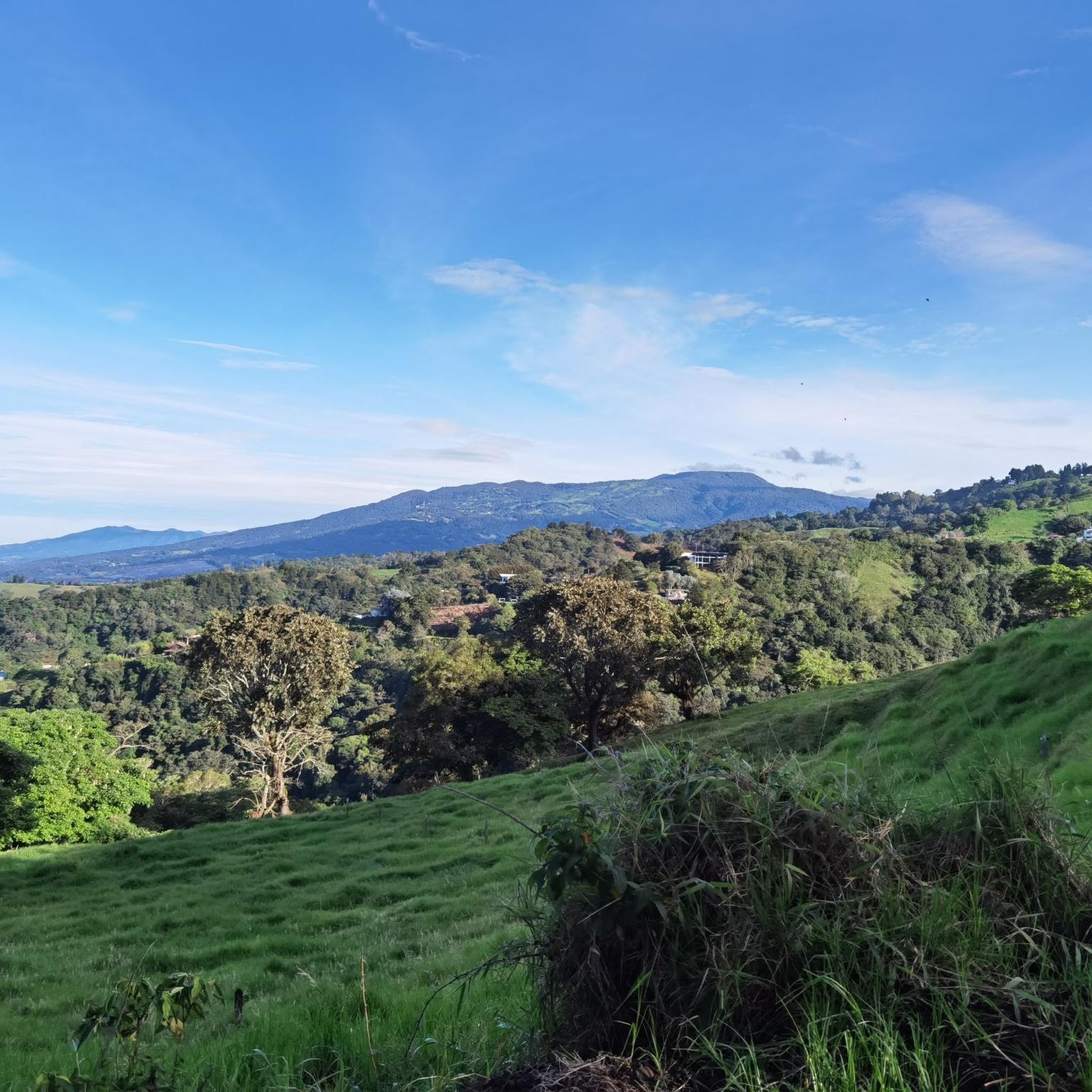
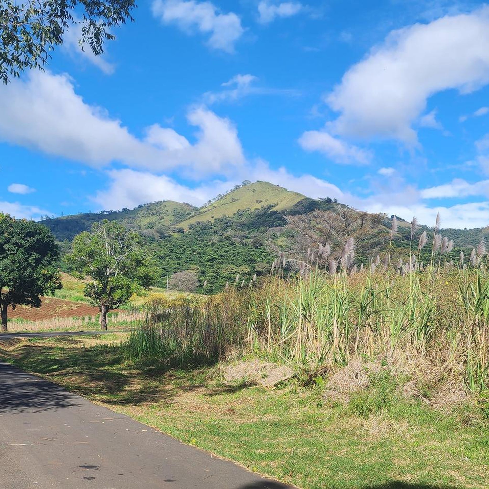
Hiking in Guácima, Costa Rica, offers trails through a landscape characterized by tropical vegetation and rolling terrain. The region features a mix of open areas and forested sections, providing varied environments for outdoor exploration. Elevation changes are generally moderate, making the area accessible for a range of hiking experiences.
Best hiking trails in Guácima
- The most popular hiking route is Costa Rica Sign – The Hand of Mantra loop from Santa Ana, a 7.0 miles (11.2 km) trail that…
Last updated: May 20, 2026
4.5
(2)
9
hikers
11.2km
03:27
380m
380m
Moderate hike. Good fitness required. Easily-accessible paths. Suitable for all skill levels.
5.0
(2)
6
hikers
9.93km
03:50
710m
710m
Moderate hike. Good fitness required. Easily-accessible paths. Suitable for all skill levels.

Sign up for free
3
hikers
8.72km
02:20
100m
90m
Moderate hike. Good fitness required. Easily-accessible paths. Suitable for all skill levels.
Our route recommendations are based on thousands of hikes, rides, and runs completed by other people on komoot.
Start today with a free account
Your next adventure awaits.
Login or Signup
Tips from the Community

This work was made by the Costa Rican artist Leda Astorga in 1999. She is internationally renowned for her artistic ability, creativity and the expression of her work. The work responds to the recovery plan of public spaces, of history and identity of Alajuela. It is being carried by the municipality, to make clear the spirit of friendship, joy and peaceful coexistence.
1
0
A beautiful place, but said to be one of the more dangerous places in the city after sunset.
1
0
A small park where many locals hang out. Parrots can be seen here from time to time. Right next door is an impressive cathedral.
2
0

Another highlight of the Mantra Trail. The “I” is missing so please put it in the right place.😜
0
0

Frequently Asked Questions
Are there any easy hiking trails in Guácima suitable for beginners?
The hiking trails in Guácima are generally considered moderate in difficulty. While there are no routes specifically classified as 'easy' in the guide, the Cathedral of Alajuela – Monument to Popular Dance loop from Alajuela is the shortest at 5.4 miles (8.7 km) with the least elevation gain, making it a good option for those looking for a less strenuous experience.
What are the typical distances and durations for hiking trails in Guácima?
Hiking trails in Guácima typically range from about 5.4 miles (8.7 km) to 7.0 miles (11.2 km) in length. Depending on the route and your pace, these hikes can take anywhere from 2 hours 20 minutes to 3 hours 50 minutes to complete.
Are there any family-friendly hiking options in Guácima?
While all routes are rated moderate, the Cathedral of Alajuela – Monument to Popular Dance loop from Alajuela is the shortest and features a mix of urban and natural surroundings, which might offer varied interest for families. Always consider the fitness level of all family members before embarking on a moderate trail.
What is the best time of year to go hiking in Guácima, Costa Rica?
Guácima, like much of Costa Rica, experiences a tropical climate. The dry season, typically from December to April, offers the most pleasant hiking conditions with less rain and more sunshine. The rainy season (May to November) can bring afternoon showers, making trails potentially muddy, but also offering lush green landscapes.
What kind of wildlife might I encounter on the trails in Guácima?
As Guácima features tropical vegetation and forested sections, hikers might spot various bird species, insects, and possibly smaller mammals. Keep an eye out for colorful butterflies and listen for the sounds of the local fauna. Respect wildlife by observing from a distance and not disturbing their natural habitat.
Are there any circular hiking routes available in Guácima?
Yes, all the featured routes in Guácima are circular loops, offering convenient starting and ending points. For example, the Costa Rica Sign – The Hand of Mantra loop from Santa Ana and the Hiking loop from Colón are both popular circular options.
What should I wear for hiking in Guácima's tropical climate?
Given the tropical climate, it's best to wear lightweight, breathable clothing that wicks away moisture. Comfortable hiking shoes with good grip are essential, especially as trails can be uneven or muddy. Don't forget sun protection like a hat and sunscreen, and bring plenty of water to stay hydrated.
What do other hikers enjoy most about the trails in Guácima?
The trails in Guácima are highly rated by the komoot community, with an average score of 4.75 stars. Hikers often praise the varied terrain, the mix of open and shaded paths, and the opportunity to experience the region's tropical landscapes.
Are there any interesting landmarks or attractions near the hiking trails in Guácima?
Yes, while hiking in the broader Guácima area, you might find points of interest such as the Fallen Bridge of Carrizal, the Virilla River Canyon, or the Picagres River. These offer additional opportunities for exploration and scenic views.
Are there any challenging hiking trails in Guácima for experienced hikers?
All the routes listed in this guide are classified as moderate. The Hiking loop from Colón offers the most significant elevation gain, making it a good option for those seeking a more strenuous workout within the moderate category.
Are there any cafes or places to eat near the hiking routes in Guácima?
While specific cafes directly on the trails are not detailed, the routes often start or pass near towns like Santa Ana, Colón, and Alajuela. These areas typically offer various dining options where you can refuel before or after your hike.
Most popular attractions in Guácima

Get inspired with the komoot mobile app


Explore more
Browse the best Hikes in other regions.
