The best walks and hikes in Santiago De Cali
4.8
(125)
563
hikers
29
hikes
Hiking in Santiago De Cali offers diverse terrain, from urban hills to the majestic Farallones de Cali mountain range. The region is characterized by its position within the Cauca Valley, featuring cloud forests, high Andean forests, and river valleys, notably along the Pance River. These natural features provide a variety of hiking trails for different skill levels, with many routes offering panoramic views of the city and surrounding landscapes.
Best hiking trails in Santiago De Cali
- The most popular hiking…
Last updated: June 26, 2026
5.0
(13)
68
hikers
5.11km
02:10
430m
430m
Moderate hike. Good fitness required. Easily-accessible paths. Suitable for all skill levels.
3
hikers
2.89km
00:44
10m
10m
Easy hike. Great for any fitness level. Easily-accessible paths. Suitable for all skill levels.

Sign up for free
4.6
(13)
78
hikers
6.29km
02:24
420m
420m
Moderate hike. Good fitness required. Easily-accessible paths. Suitable for all skill levels.
5.0
(22)
83
hikers
3.97km
01:06
70m
70m
Easy hike. Great for any fitness level. Easily-accessible paths. Suitable for all skill levels.
5.0
(21)
79
hikers
3.94km
01:05
70m
70m
Easy hike. Great for any fitness level. Easily-accessible paths. Suitable for all skill levels.
Get access to more routes and recommendations from other explorers.
Sign up for free
Already have an account?
Our route recommendations are based on thousands of hikes, rides, and runs completed by other people on komoot.
Start today with a free account
Your next adventure awaits.
Login or Signup
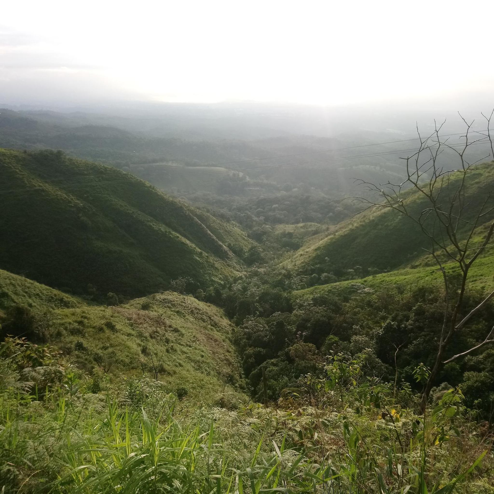
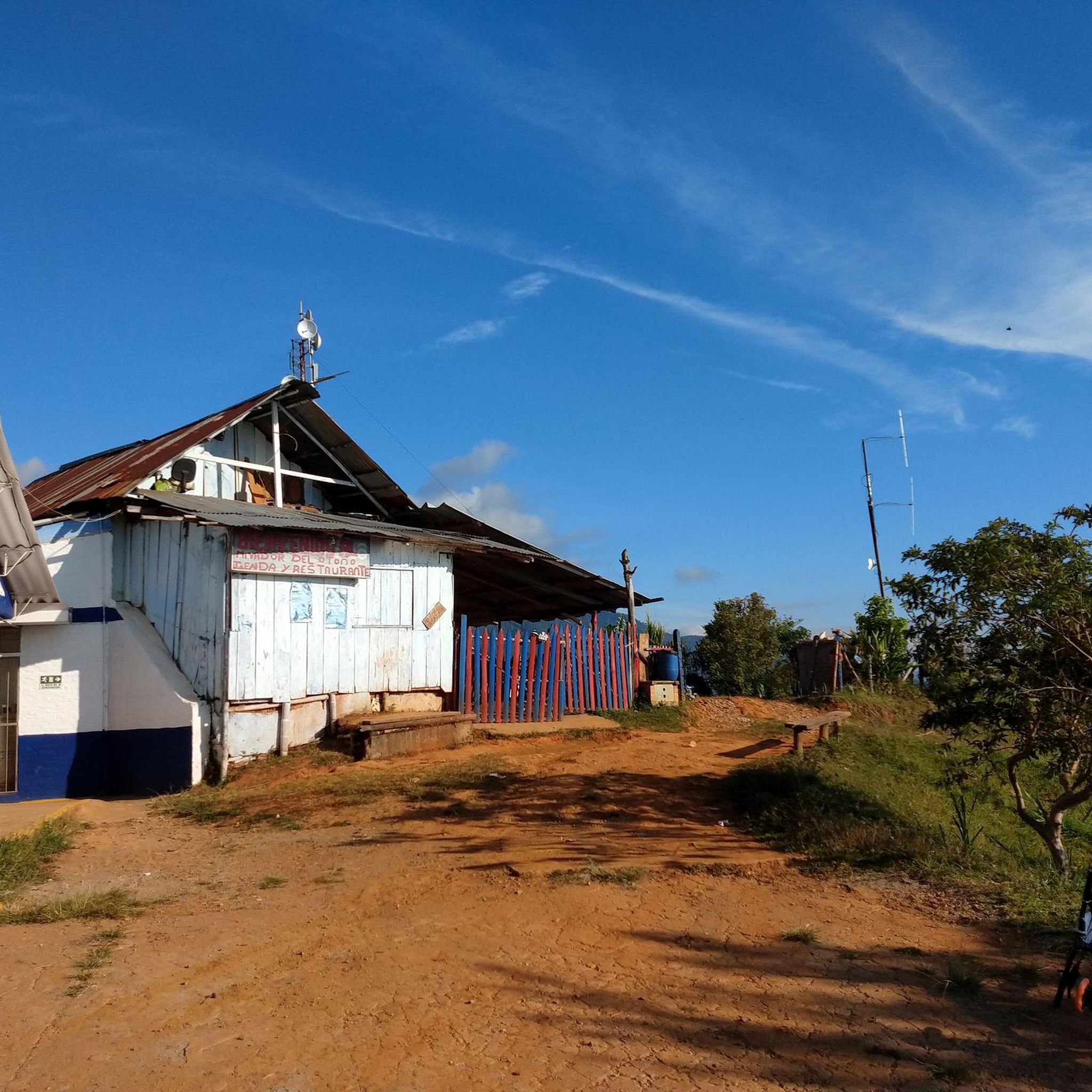

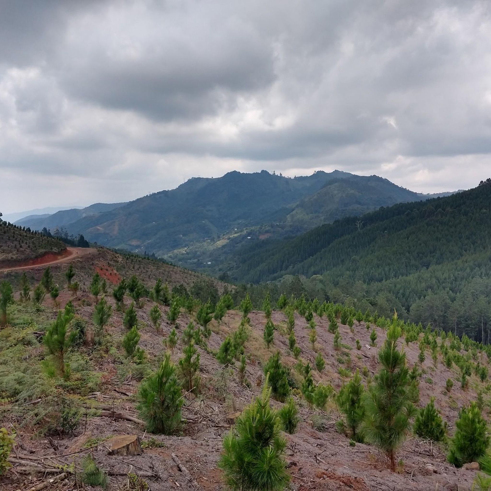
Tips from the Community

The Meléndez River Bio-Healthy Park is a one-kilometer linear park on the left bank of the river, in the El Ingenio neighborhood of Cali. It is part of the restoration of natural corridors between the Farallones Mountains and the Cauca River, featuring trails, a bike path, plazas, and sports equipment made from recycled plastic. It also includes the planting of native trees, pollinator plants, and exercise areas for all ages.
0
0


Perfect stairs for resistance work and technique of ascents and descents
0
0
Starting point for the Ascent to the hill of the three Crosses from the entrance of the Normandy neighborhood
0
0
Highest Point of the Ascent where we find the three Crosses
0
0
It's a perfect place to take a great photo: from the viewpoint, the city unfolds at your feet and offers a wide and bright view that's hard to beat.
0
0
Frequently Asked Questions
How many hiking trails are available in Santiago De Cali?
Santiago De Cali offers a diverse network of nearly 30 hiking trails. These routes cater to various skill levels, ranging from leisurely riverside walks to challenging mountain ascents within the Farallones de Cali.
What are the different difficulty levels for hiking in Santiago De Cali?
The hiking trails in Santiago De Cali are categorized into three main difficulty levels. You'll find 10 easy routes, 15 moderate trails, and 4 difficult paths, ensuring options for every hiker, from beginners to experienced trekkers.
Are there any family-friendly hiking options in Santiago De Cali?
Yes, Santiago De Cali has several family-friendly options, particularly among its 10 easy routes. A great choice is the Circular del Parque Biosaludable del río Meléndez — Cali, an easy 1.8-mile (2.9 km) trail through the Meléndez River Bio-Healthy Park, perfect for a relaxed outing. The area around the Pance River also offers gentle walks suitable for families.
Are there any circular hiking routes in Santiago De Cali?
Yes, several circular routes are available. For a challenging full-day adventure, consider the Pico de Loro loop from Pance, which takes you through cloud forest to a prominent peak. For an easier option, the Hiking loop from Ecoparque Río Pance offers a pleasant walk along the river.
What kind of natural features or landmarks can I see along the hiking trails?
Hiking in Santiago De Cali offers stunning natural features and landmarks. You can explore the lush cloud forests and high Andean forests of the Farallones de Cali National Natural Park, enjoy the clear waters of the Pance River, and discover beautiful waterfalls like Cascada La Reina. Iconic landmarks include the Hill of the Three Crosses, offering panoramic city views, and the Cristo Rey statue. The Pance River Bridge is another notable point of interest.
Are there any trails with significant viewpoints in Santiago De Cali?
Absolutely. Many trails in Santiago De Cali are renowned for their breathtaking viewpoints. The hike to Subida a Las Tres Cruces — Cali offers fabulous panoramic views of the city. For even more expansive vistas, the strenuous ascent to Pico de Loro provides extensive views of the surrounding mountains and the Cauca Valley. The Virgen de Yanaconas trail is also known for arguably the best views in Cali.
What is the best time of year to go hiking in Santiago De Cali?
Santiago De Cali generally has a pleasant climate year-round, but the dry seasons are often preferred for hiking. These typically occur from December to March and again from July to August, offering clearer skies and more comfortable trail conditions. However, the lushness of the cloud forests can be particularly vibrant during other times.
Can I access hiking trails in Santiago De Cali using public transport?
Yes, some hiking areas are accessible via public transport. For instance, the Cerro de las Tres Cruces is an urban hike easily reached from within the city, with public transport options getting you close to the starting points. For trails further afield, like those in the Pance area or Farallones de Cali, local buses or shared taxis might be available, though a private vehicle or guided tour might offer more direct access.
What do other hikers enjoy most about hiking in Santiago De Cali?
The hiking experience in Santiago De Cali is highly rated by the komoot community, with an average score of 4.8 stars from over 100 reviews. Hikers frequently praise the diverse terrain, from challenging mountain ascents with incredible views to peaceful riverside walks. The opportunity to explore the rich biodiversity of the Farallones de Cali and the stunning panoramic cityscapes are often highlighted as favorite aspects.
Are there any challenging mountain hikes in the region?
For experienced hikers seeking a challenge, Santiago De Cali offers demanding mountain trails. The Pico de Loro loop from Pance is a difficult 5.9-mile (9.5 km) path that ascends through cloud forest to a peak at 2,832m (9,291 ft), rewarding hikers with breathtaking panoramic views. This full-day hike is considered one of the most prestigious in the Farallones de Cali National Natural Park.
Are there opportunities to see wildlife while hiking?
The Farallones de Cali National Natural Park, which borders the city, is a hotspot for biodiversity. Hikers in this region have excellent opportunities to spot wildlife, especially birds, as the park is home to over 540 species. Keep an eye out for various amphibians, reptiles, and even mammals like pumas and deer, particularly in the more remote cloud and high Andean forest areas.
Are there any trails that feature waterfalls?
Yes, the Farallones region is home to several beautiful waterfalls. While specific komoot routes may not explicitly highlight them, areas like the Pance River and its surroundings are known for refreshing cascades. Cascada La Reina is a notable waterfall in the area, offering a scenic and refreshing stop during hikes, often explored through guided tours.
Most popular routes in Santiago De Cali
Most popular attractions in Santiago De Cali

Get inspired with the komoot mobile app


Explore more
Browse the best Hikes in other regions.
