The best road cycling routes in Jamundí
4.9
(20)
173
riders
4
rides
Road cycling in Jamundí offers diverse terrain across Andean, sub-Andean, and dry forest ecosystems. The region is characterized by its mountainous backdrop, featuring prominent peaks that contribute to varied elevation profiles. Cyclists encounter a mix of paved roads and unpaved sections, providing options for different road cycling preferences. The area borders the Farallones National Natural Park, adding to the natural features accessible from many routes.
Best road cycling routes in Jamundí
- The most popular road cycling route is Robles Police…
Last updated: June 28, 2026
4.9
(19)
137
riders
Moderate road ride. Good fitness required. Mostly well-paved surfaces and easy to ride.
24
riders
Moderate road ride. Good fitness required. Mostly well-paved surfaces and easy to ride.

Sign up for free
5.0
(1)
9
riders
Easy road ride. Great for any fitness level. Mostly well-paved surfaces and easy to ride.
3
riders
Easy road ride. Great for any fitness level. Mostly well-paved surfaces and easy to ride.
Our route recommendations are based on thousands of hikes, rides, and runs completed by other people on komoot.
Start today with a free account
Your next adventure awaits.
Login or Signup
Popular around Jamundí
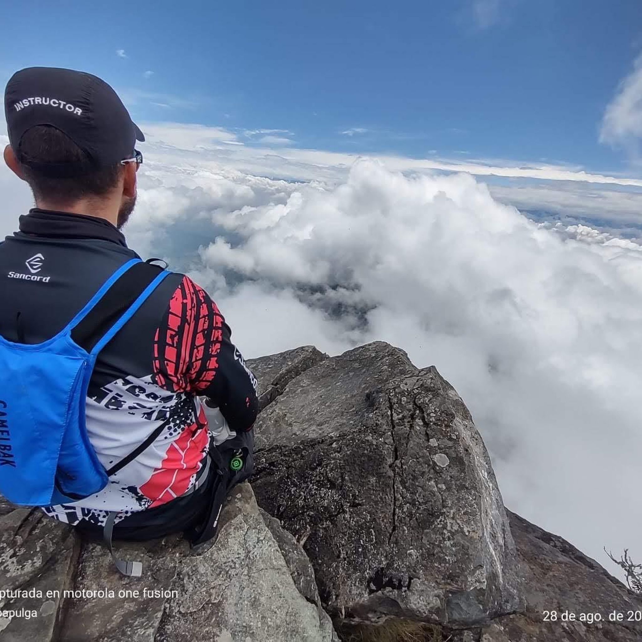

Tips from the Community


Frequently Asked Questions
What kind of terrain can I expect on road cycling routes in Jamundí?
Jamundí offers a diverse landscape for road cycling, characterized by Andean, sub-Andean, and dry forest ecosystems. You'll encounter beautiful, sharp mountains, including prominent peaks like Pico de Loro and Pico del Águila, providing both stunning backdrops and challenging ascents. Routes feature a mix of paved roads and some unpaved sections, ensuring a dynamic riding experience with both uphill and downhill segments.
Are there road cycling routes suitable for beginners in Jamundí?
Yes, Jamundí has routes suitable for various skill levels, including easier options. For instance, the La Vorágine – La Vorágine loop from Parada MIO is an easy 31.7 km route with moderate elevation gain, perfect for those looking for a less strenuous ride. Another easy option is the Roundabout – Pangola loop, which is 32.4 km long with minimal elevation.
What are some of the more challenging road cycling routes in Jamundí?
For cyclists seeking a challenge, Jamundí's mountainous topography provides routes with significant climbs. While all routes listed in this guide are moderate, the region offers many paths with substantial elevation gains. For example, the Robles Police Substation – Guachinte Territory of Peace loop is a moderate 77.6 km route with over 435 meters of ascent, navigating varied landscapes and elevation changes.
Are there any circular road cycling routes in Jamundí?
Yes, many of the road cycling routes in Jamundí are designed as loops, allowing you to start and end at the same point. Examples include the Robles Police Substation – Guachinte Territory of Peace loop, the La Ballena Wetland – Pangola loop, and the Roundabouts – Colinas de Miravalle Entrance loop, all offering convenient circular journeys.
What natural features or landmarks can I see along the road cycling routes?
Jamundí's routes often pass through scenic areas with notable natural features. You might encounter views of the Farallones National Natural Park, known for its waterfalls, or ride near the Pance River. Specific highlights in the region include the Pance River Bridge, the El Rosario Summit, and the Miravalle Hills. The Pico de Águila also offers a prominent natural landmark in the area.
What is the best time of year for road cycling in Jamundí?
Jamundí, similar to nearby Cali, generally experiences a climate suitable for year-round outdoor activities, including road cycling. The region typically does not have cold weather. While there might be rainy seasons, the consistent temperatures make it possible to enjoy the routes throughout the year. It's always a good idea to check local weather forecasts before heading out.
Are there any cafes or restaurants along the cycling routes in Jamundí?
While specific cafes are not detailed for every route, the region's popularity for cycling means you'll often find local establishments in villages or towns along the way. After a challenging ride, a popular local treat is a 'cholado' (a shaved ice dessert), which can be found in many areas. The proximity to Cali also means easy access to a wider range of amenities.
What do other road cyclists enjoy most about road cycling in Jamundí?
The road cycling routes in Jamundí are highly rated by the komoot community, with an average score of 5.0 stars from 23 reviews. Cyclists often praise the diverse terrain, which includes a mix of Andean forests, agricultural areas, and varied elevation profiles. The options for different ability levels, from easier loops to more challenging climbs, are also frequently highlighted as a key enjoyment factor.
Is Jamundí a good destination for family-friendly road cycling?
Jamundí offers a range of routes, and while some are challenging, there are easier, shorter loops that could be suitable for families with older children or those comfortable with road cycling. Routes with less elevation gain, like the Roundabout – Pangola loop, might be more appropriate for a family outing. Always check the route's difficulty and elevation profile to ensure it matches your family's capabilities.
How many road cycling routes are available in Jamundí?
Jamundí is a popular cycling destination with an extensive network of routes. While this guide focuses on a selection of top routes, the broader area offers over 200 cycling routes and bike trails, catering to a wide range of preferences in terms of distance, elevation, and terrain.
Where can I find parking for road cycling routes in Jamundí?
Specific parking information for each trailhead is not always available in detail. However, many routes start from accessible points within or near urban areas, such as the Parada MIO - Carrera 180 Entrada a la Hacienda El Castillo or the Velodromo Alcides Nieto Patiño. It is advisable to check the starting point of your chosen route on komoot for any user-provided parking details or local information.
Most popular routes in Jamundí
Most popular attractions in Jamundí

Get inspired with the komoot mobile app


Explore more
Browse the best Road cycling routes in other regions.
