The best road cycling routes in Guacarí
5.0
(11)
212
riders
10
rides
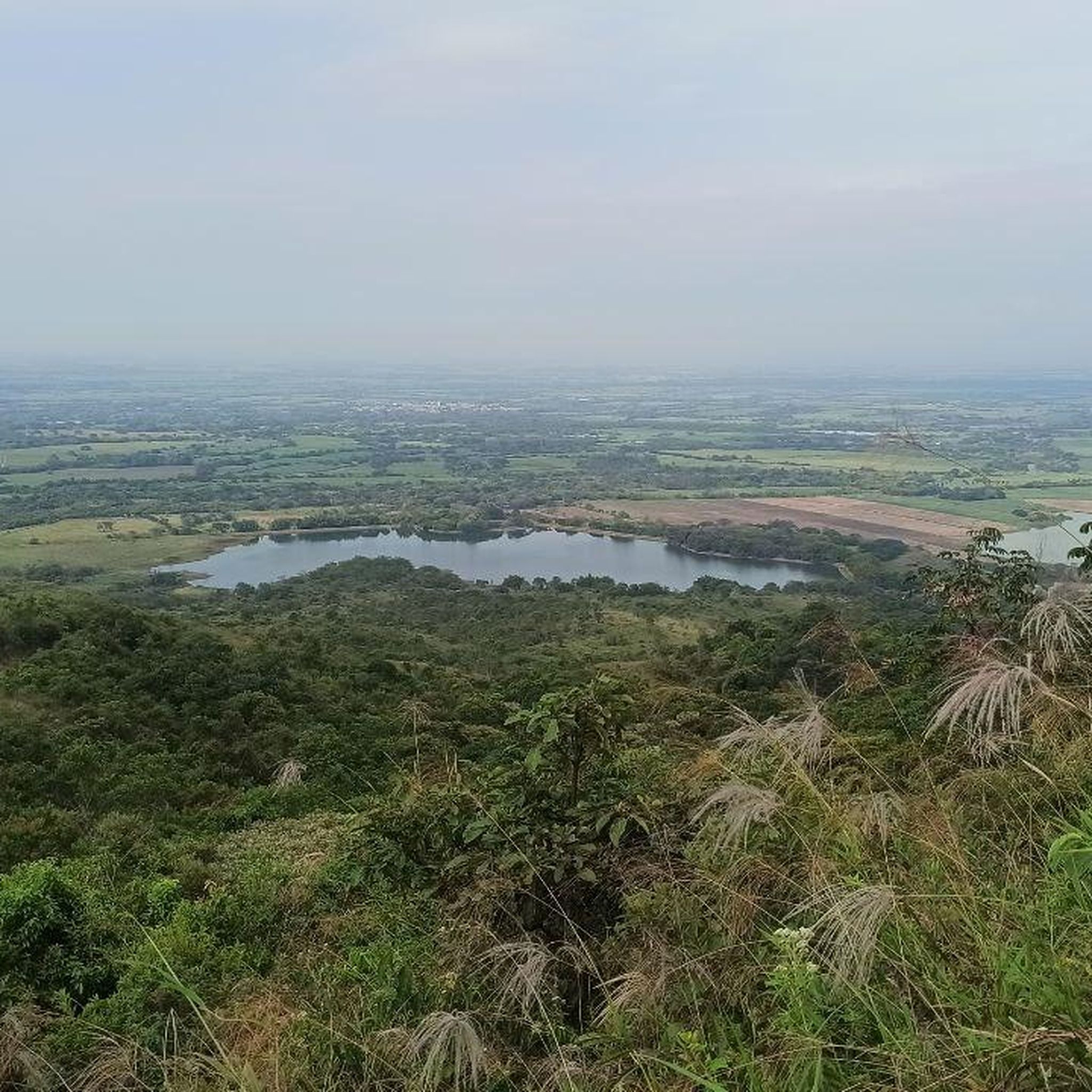
Road cycling routes in Guacarí traverse a landscape characterized by mountains and expansive green canefields in Colombia's Valle del Cauca region. The area features wide landscapes and diverse flora, with several rivers and wetlands contributing to its natural charm. This terrain offers varied gradients suitable for road cyclists.
Best road cycling routes in Guacarí
- The most popular road cycling route is La Habana Church loop from Buga, a 17.8 miles (28.7 km) trail that takes 1 hour 25 minutes…
Last updated: July 2, 2026
5.0
(2)
56
riders
29.1km
01:27
450m
450m
Moderate road ride. Good fitness required. Mostly well-paved surfaces and easy to ride.
5.0
(6)
47
riders
60.8km
02:25
220m
220m
Moderate road ride. Good fitness required. Mostly well-paved surfaces and easy to ride.

Sign up for free
19
riders
49.3km
02:16
550m
550m
Moderate road ride. Good fitness required. Mostly well-paved surfaces and easy to ride.
17
riders
45.2km
02:06
540m
540m
Moderate road ride. Good fitness required. Mostly well-paved surfaces and easy to ride.
5.0
(1)
14
riders
59.1km
02:29
380m
380m
Moderate road ride. Good fitness required. Mostly well-paved surfaces and easy to ride.
Get access to more routes and recommendations from other explorers.
Sign up for free
Already have an account?
Our route recommendations are based on thousands of hikes, rides, and runs completed by other people on komoot.
Start today with a free account
Your next adventure awaits.
Login or Signup
Popular around Guacarí

Tips from the Community

EXCELLENT IN ALL CASES
0
0


It is a safe, wide, well-signposted route in perfect conditions. On this route from the hill we can say to the city of Cali, the township of Rozo, the Alfonzo Bonilla Aragón International Airport, and the city of Palmira.
0
0
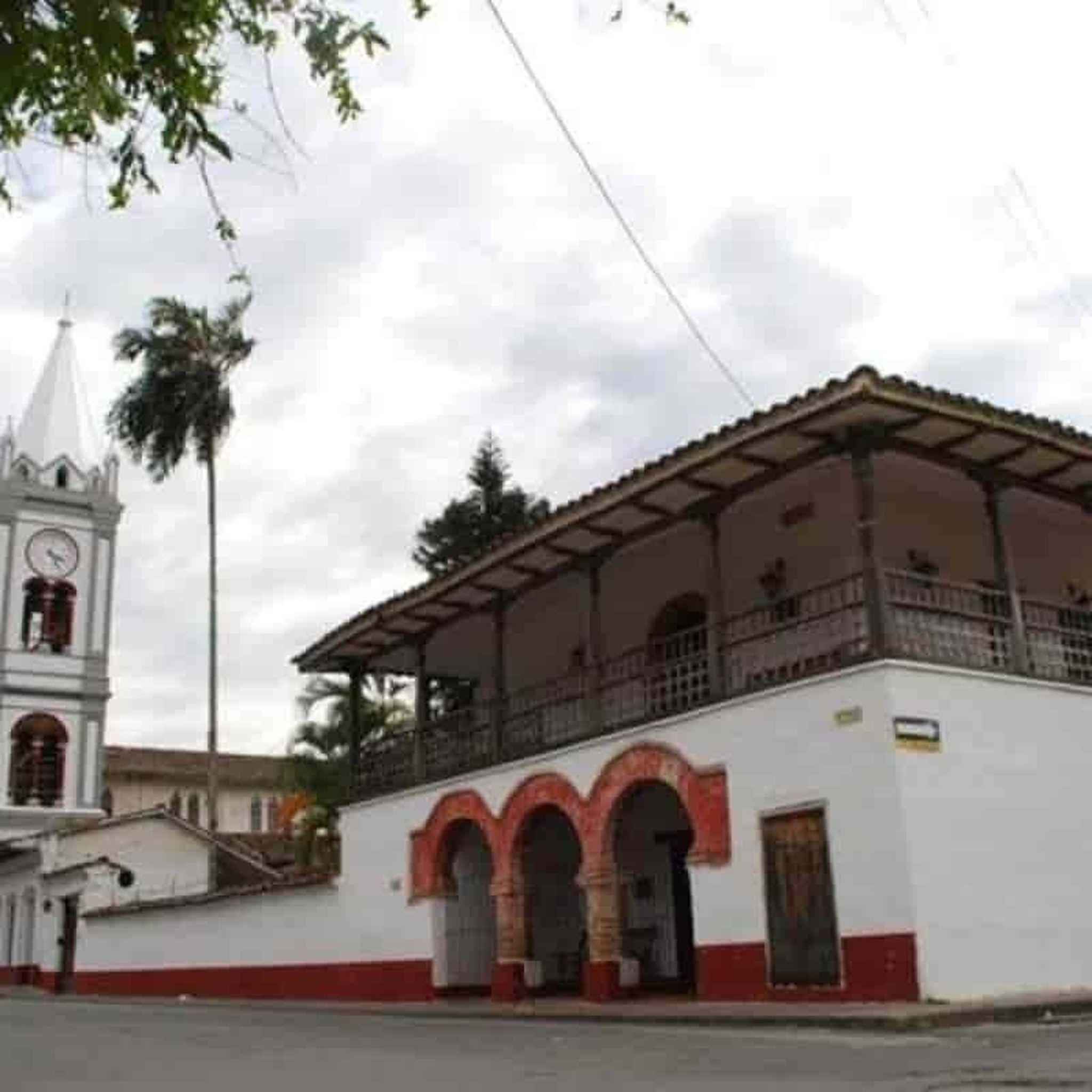
It is a municipality and town, located in the western region of Colombia, in the center of the department of Valle del Cauca, surrounded by the green of its cane fields at 3° 45' 55 N latitude, and 76° 20' 1. West longitude. San Juan Bautista de Guacarí limits to the north with the municipality of Guadalajara de Buga, to the east with Ginebra, to the south with the Municipality of El Cerrito, and to the west with Yotoco and Vijes. Guacarí is located approximately 45 km from Cali, the departmental capital.
0
0
It is a municipality of Colombia located in the department of Valle del Cauca. The Municipality is known culturally, touristically and economically because the Hacienda El Paraíso is located in its jurisdiction, the place where the events of the novel María, a masterpiece by Valle del Cauca writer Jorge Isaacs, took place. Part of its territory also belongs to the Las Hermosas National Natural Park. It is located to the east of Cali, the capital of the department, about 47 km away.
0
0

Short, steep and demanding climb at the end
0
0

beautiful landscapes
0
0
Frequently Asked Questions
What kind of terrain can I expect when road cycling in Guacarí?
Guacarí offers a diverse landscape for road cyclists, characterized by rolling mountains and extensive green canefields. You'll encounter varied gradients, from flatter sections through agricultural lands to more challenging climbs in the mountainous areas. The region also features several rivers and wetlands, adding to the scenic beauty.
Are there road cycling routes suitable for beginners in Guacarí?
Yes, Guacarí has options for various skill levels. There are 2 easy-rated road cycling routes available. For example, the Rio Guadalajara loop from Buga is an easy 17.1-mile (27.5 km) trail that leads through varied terrain.
What are the typical distances and elevation gains for road cycling routes in Guacarí?
Routes in Guacarí vary significantly. You can find shorter loops like the La Habana Church loop from Buga, which is 17.8 miles (28.7 km) with about 450 meters of elevation gain. Longer routes, such as the Loop via Rozo – Marin Sport loop from Buga, cover 37.3 miles (60.1 km) with around 212 meters of elevation gain, offering extensive views across agricultural lands.
Are there circular road cycling routes available in Guacarí?
Yes, many of the road cycling routes in Guacarí are designed as loops, allowing you to start and finish at the same point. Examples include the La Habana Church loop from Buga and the Rio Guadalajara loop from Buga, providing convenient circular journeys.
What natural features or landmarks can I expect to see along the road cycling routes?
Road cycling routes in Guacarí often pass through picturesque green canefields and offer views of the surrounding mountains. You might also encounter rivers and wetlands, such as the 'Madre Vieja de Videles,' known for its natural beauty and birdlife. The region's focus on agrotourism, including cacao and grape tours, suggests scenic rural landscapes.
What do other road cyclists say about their experience in Guacarí?
The road cycling routes in Guacarí are highly rated by the komoot community, with an average score of 4.8 stars from over 10 reviews. Cyclists often praise the varied terrain, the scenic green canefields, and the overall natural beauty of the region.
Are there any challenging road cycling routes for experienced riders?
Yes, Guacarí offers routes for advanced cyclists as well. There is 1 difficult-rated route, and 7 moderate routes that provide significant elevation gain and distance, catering to those looking for a more strenuous ride through the region's mountainous areas.
Can I find routes that offer extensive views of the region?
Absolutely. Routes like the Loop via Rozo – Marin Sport loop from Buga are known for offering extensive views across Guacarí's agricultural lands and the wider Valle del Cauca region, showcasing the area's natural charm.
What is the best time of year to go road cycling in Guacarí?
While specific seasonal recommendations are not detailed, Guacarí, being in a tropical region, generally experiences dry and rainy seasons. It's advisable to check local weather forecasts for the Valle del Cauca region to determine the most favorable conditions for your ride, typically avoiding the heaviest rainy periods for optimal enjoyment.
Are there any specific attractions or activities near the cycling routes?
Beyond the cycling itself, Guacarí offers agrotourism experiences like cacao and grape tours, which can be found in the rural areas traversed by some routes. The Balneario Parque El Chicuco, with its river and swimming pools, provides a recreational spot amidst nature, and the Madre Vieja de Videles wetland offers canoe rides.
How many road cycling routes are available in Guacarí?
There are 10 road cycling routes available in Guacarí, offering a range of distances and difficulties to suit different preferences and fitness levels.
Most popular routes in Guacarí

Get inspired with the komoot mobile app


Explore more
Browse the best Road cycling routes in other regions.
