The best road cycling routes in Cartago
5.0
(3)
147
riders
3
rides
Road cycling in Cartago offers diverse and challenging terrain, characterized by its mountainous countryside and prominent volcanic features. The region features significant elevation gains, with routes often traversing steep mountains and offering views of volcanoes like Irazú. Cyclists can explore varied landscapes, from well-paved roads to segments that may be unpaved, providing a range of experiences. River valleys, such as the Orosi Valley, also contribute to the scenic beauty and varied topography for road cyclists.
Best road cycling routes in…
Last updated: June 28, 2026
5.0
(1)
85
riders
111km
05:54
1,950m
1,960m
Hard road ride. Very good fitness required. Mostly well-paved surfaces and easy to ride.
5.0
(1)
35
riders
137km
05:54
1,070m
1,070m
Hard road ride. Very good fitness required. Mostly well-paved surfaces and easy to ride.

Sign up for free
5.0
(1)
16
riders
36.1km
01:49
400m
400m
Moderate road ride. Good fitness required. Mostly well-paved surfaces and easy to ride.
11
riders
38.5km
01:44
420m
410m
Moderate road ride. Good fitness required. Mostly well-paved surfaces and easy to ride.
Our route recommendations are based on thousands of hikes, rides, and runs completed by other people on komoot.
Start today with a free account
Your next adventure awaits.
Login or Signup
Popular around Cartago
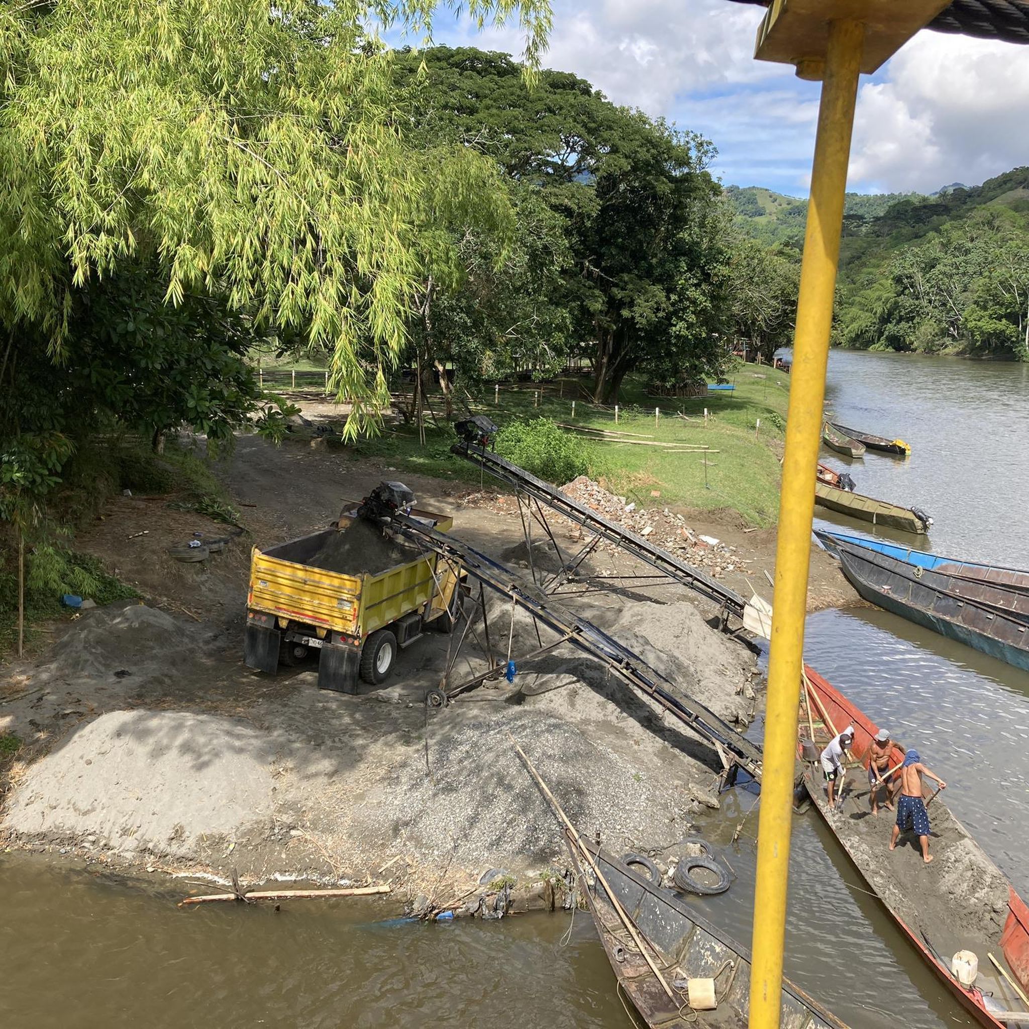
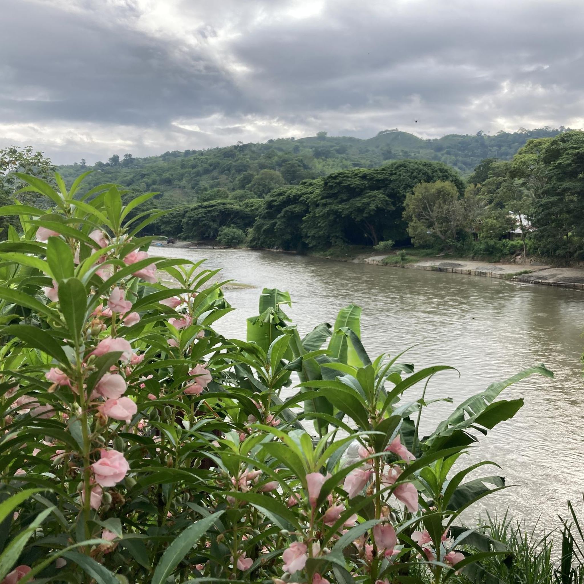
Tips from the Community

Beautiful main park with the shade and freshness of this great Samán planted in 1917
0
0

Located 10 minutes from Armenia, it is a district of the Montenegro municipality established as such on January 31, 1978. It is located in an area that unites Tebaida, Montenegro and Circasia. In its urban area there are the Marco Fidel Suárez school, the Antonio Nariño and El Carmen schools, it has hotels, drugstores, restaurants, etc. It has several hostels and about 70 properties for recreation, being the jurisdiction with the largest number of tourist farms in the department. It is close to the Cisneros Batallion, the Coffee Park and other tourist sites, it is known for its empanadas and arepas with cheese, as well as several restaurants. It has the London Coffee factory, where the Quindío Specialty Coffee Association operates and the El Agrado farm, where coffee tasting events are held. It also has a spectacular view of Armenia and its surroundings. On August 31, Farmers' Day is celebrated with dance performances, trova, chirimía, etc.
0
0
Municipality of the department of Valle del Cauca, considered the wine capital of Colombia, and unlike most cities in the Valley, a large amount of all kinds of tropical fruits are grown there, such as grapes, papaya, passion fruit, lulo, cocoa, coffee, guava, among others; thanks to this, its urban development has been faster than that of other Valle del Cauca towns because its horticultural axis is not centered on sugar cane, unlike 80% of the entire department. The other name as it was known in the past was Hato de Lemos, since the lands where this municipality was built were owned by the landowner Pedro Lemos. It was founded on April 20, 1796 but became a municipality in 1890 and its founder was called Juan Jacinto Palomino. The Gorrones Indians, who prevailed on the western bank of the Cauca River, from Cali to Anserma, were the first inhabitants of La Unión, Valle. Its name comes from the name of the fish that was an important food in its gastronomy. La Unión was the scene of the most important social protest during the colonial period against Spanish authority in the west of the viceroyalty of New Granada, an episode known as the Uprising of Hato de Lemos in 1781. It has a large number of vineyards and is the main headquarters of the Casa Grajales Winery and the Museum of Grapes and Wine. Extreme sports such as paragliding and motorcycling are also practiced.
0
0
La Victoria was founded in 1835, initially under the name of "La Cañada" in the Los Micos region, but the aim was to make the region a river port, so it was moved to the Cauca River. The name La Victoria was given on December 23, 1850, the date on which the Catholic Church commemorates the feast of Saint Victoria. It began as a hamlet belonging to Obando, but developed so quickly that in 1928 it re-emerged as a new municipality. The territory includes extensive flat areas and a few mountainous areas whose relief corresponds to the western slope of the Central Andes Mountain Range. Among the orographic accidents, the Guacará, Aguja, Montecristo, Santa Barbara, Sierramocha and Taguales peaks stand out, as well as the Pan de Azúcar hill and the heights of Alegrías, El Convento, Gallinazo, La Cruz and La Pintura. Its main economic activities are agriculture, livestock, mining and commerce. The crops of coffee, corn, soybeans, cotton, beans, cassava and bananas stand out. In the mining field, gold, gypsum and talc are exploited. Previously, it had a strategic position that made it an obligatory passage between cities such as Zarzal, Cartago, Roldanillo and Pereira. However, with the development of the Pan-American highway, it gradually lost the flow of vehicles, along with a notable deterioration in the access roads to the municipality. Like many municipalities in the Valle del Cauca, La Victoria was the epicenter of drug trafficking within the well-known Cartel of the north of the valley. Although there were no violent events as critical as in neighboring towns, it was one of the causes of the displacement of 236 people in the period between 2000 and 2008.
0
0
Piedra de MOler is a town near the Municipality of Cartago with an altitude of 992 meters. It is close to the town of La Modia and the town of Modín. In this area there are places to bathe either in the Vieja river or in one of its tributaries or in swimming pools. Also along the main road we find several food restaurants on everything fried
0
0
Main paved road that connects these two municipalities, it is 14.4 km long with many swings and a good inclination suitable for both road bikes and MTB
0
0


this is unpaved the entire way. MTB and Hybrids but no road bikes will make it
0
0
Frequently Asked Questions
What kind of terrain can I expect when road cycling in Cartago?
Cartago offers diverse and challenging terrain, characterized by its mountainous countryside and prominent volcanic features like Irazú Volcano. You'll encounter significant elevation gains, with routes often traversing steep mountains and river valleys such as the Orosi Valley. While many roads are well-paved, some segments, particularly on longer or more challenging rides, may be unpaved, adding to the varied experience.
How challenging are the road cycling routes in Cartago?
The routes in Cartago cater to various fitness levels, but many involve significant climbs. For instance, routes like the Cerritos Viewpoint – Quimbaya–Filandia Road loop from Pereira are considered difficult, featuring substantial elevation changes. There are also moderate options, such as the Viewpoint – Cerritos Viewpoint loop from Santa Ana Airport, which still offer rewarding climbs.
Are there any loop road cycling routes in Cartago?
Yes, several routes in Cartago are designed as loops. For example, the Viewpoint – Cerritos Viewpoint loop from Estadio Hernán Ramírez Villegas is a difficult, extensive ride through mountainous landscapes. A shorter, moderate option is the Bellavista Viewpoint loop from Cartago, which takes about 1 hour 15 minutes to complete.
What scenic views or landmarks can I expect to see along the routes?
Road cycling in Cartago offers breathtaking views of volcanic terrain, including glimpses of Irazú Volcano on clear days. You can also explore the picturesque Orosi Valley, known for its winding mountaintops and the Reventazón River. Cultural landmarks like the San Jose de Orosi church, the oldest church in the country still in use, are also found in the valley. For specific natural highlights, consider visiting Piedras de Moler or the area around Puerto Alejandría and Río La Vieja.
What do other road cyclists enjoy most about cycling in Cartago?
The area is highly rated by the komoot community, with an average score of 5.0 stars from over 4 reviews. Cyclists often praise the diverse and challenging terrain, the significant elevation gains, and the stunning views of volcanic landscapes and river valleys. The variety of routes, from moderate climbs to difficult, extended rides, is also a highlight for many.
Are there any family-friendly road cycling options in Cartago?
While many routes in Cartago feature significant elevation gains and challenging terrain, making them more suitable for experienced cyclists, some shorter, moderate loops might be manageable for families with older, fit children. For instance, the View of Montenegro at Night – View of Pueblo Tapao loop from Quimbaya is a moderate route that could be considered, depending on the family's cycling experience.
What is the best time of year to go road cycling in Cartago?
Cartago's climate is generally pleasant, but the region experiences distinct wet and dry seasons. The dry season, typically from December to April, offers more consistent weather with less rain, which can be ideal for road cycling. However, even during the wet season, mornings often remain clear, allowing for rides before afternoon showers. Always check local weather forecasts before heading out.
Are there any notable attractions near the cycling routes?
Beyond the natural beauty, Cartago offers several points of interest. The Orosi Valley is home to the historic San Jose de Orosi church. Just outside Cartago, the Lankester Botanical Gardens house a vast collection of plant species, including rare orchids, making for a great post-ride visit. You can also find unique landmarks like the Giant Vueltiao Hat at Finca Los Paisajes along some routes.
What are the typical distances and durations for road cycling routes in Cartago?
The routes in Cartago vary significantly in length and duration. You can find shorter, moderate rides like the Bellavista Viewpoint loop from Cartago, which is about 14.6 miles (23.5 km) and takes around 1 hour 15 minutes. Longer, more challenging routes, such as the Viewpoint – Cerritos Viewpoint loop from Estadio Hernán Ramírez Villegas, can extend to 84.8 miles (136.5 km) and take nearly 6 hours to complete.
Are there opportunities for cafes or accommodation near the cycling routes?
Cartago and its surrounding towns, especially in areas like the Orosi Valley, offer various local cafes and restaurants where cyclists can refuel. Accommodation options, ranging from guesthouses to hotels, are also available in the main towns and scenic areas, providing convenient bases for exploring the region's cycling routes.
Can I cycle to Irazú Volcano?
Yes, Irazú Volcano National Park is accessible via a paved road to its summit, offering cyclists a challenging climb. This route provides the potential for breathtaking views of both the Atlantic and Pacific Oceans on clear days, making it a highly rewarding experience for road cyclists seeking a significant ascent.
Most popular routes in Cartago
Most popular attractions in Cartago

Get inspired with the komoot mobile app


Explore more
Browse the best Road cycling routes in other regions.
