The best road cycling routes around Bretten
4.4
(136)
3,648
riders
112
rides
Road cycling routes around Bretten traverse a landscape characterized by rolling hills, agricultural fields, and historic towns. The region features varied terrain, including moderate ascents and descents, with several routes passing by reservoirs and castles. Elevations on some routes exceed 200 meters, indicating significant climbs. This area offers a network of roads suitable for road cycling, connecting various points of interest.
Best road cycling routes around Bretten
- The most popular road cycling route is Schindelberg Chapel – Old Tower at…
Last updated: September 28, 2026
4.8
(6)
1,515
riders
Moderate road ride. Good fitness required. Mostly well-paved surfaces and easy to ride.
4.5
(4)
21
riders
66.1km
03:08
620m
620m
Moderate road ride. Good fitness required. Mostly well-paved surfaces and easy to ride.

5
riders
77.6km
04:00
810m
810m
Moderate road ride. Good fitness required. Some segments of this route may be unpaved and difficult to ride.
223km
10:55
3,020m
3,020m
Hard road ride. Very good fitness required. Some segments of this route may be unpaved and difficult to ride.
4.3
(4)
108
riders
43.6km
01:54
330m
330m
Moderate road ride. Good fitness required. Some segments of this route may be unpaved and difficult to ride.
Get access to more routes and recommendations from other explorers.
Already have an account?
Our route recommendations are based on thousands of hikes, rides, and runs completed by other people on komoot.
Start today with a free account
Your next adventure awaits.
Popular around Bretten
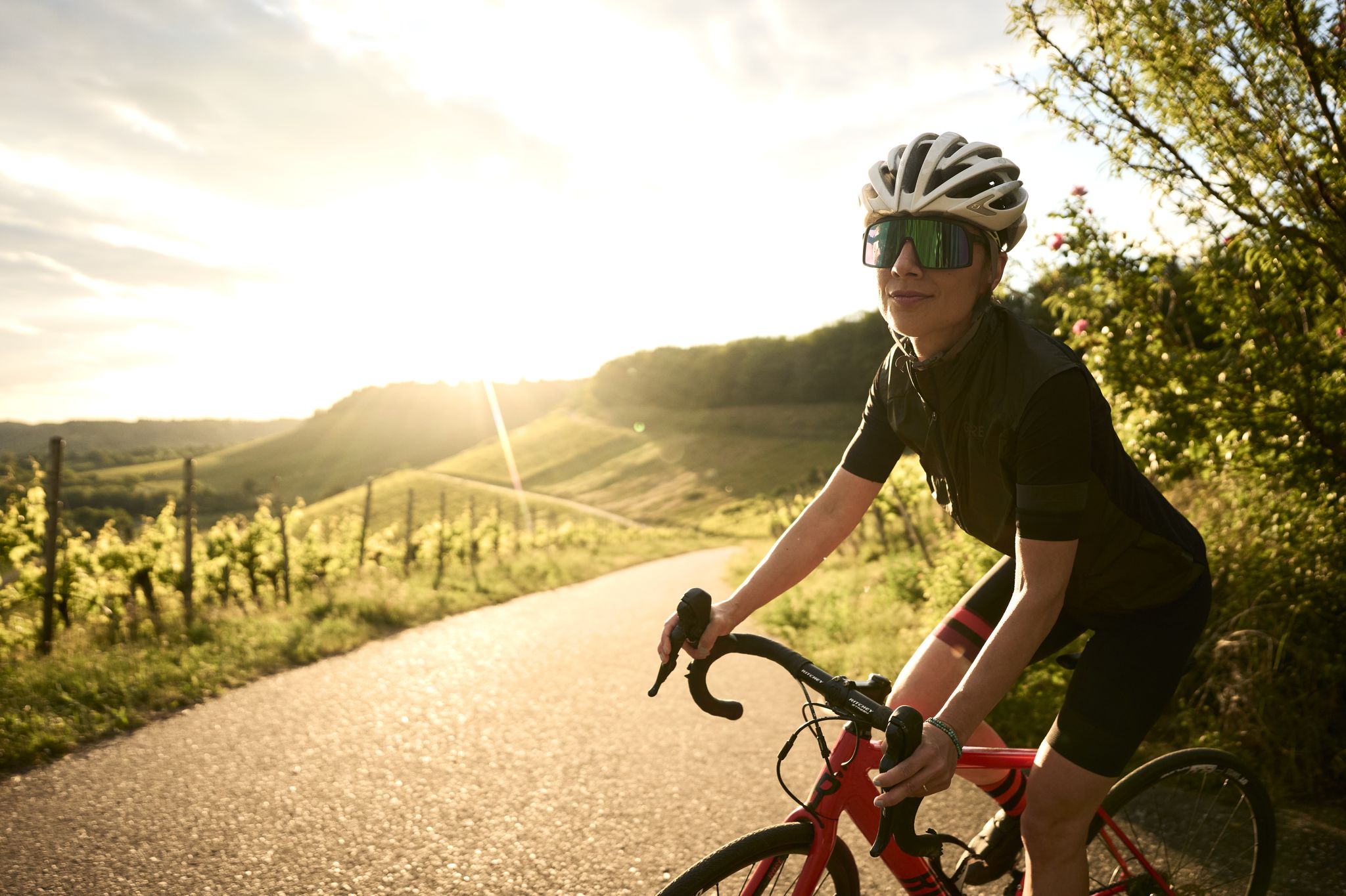
A passion for road cycling in the Land of 1,000 Hills
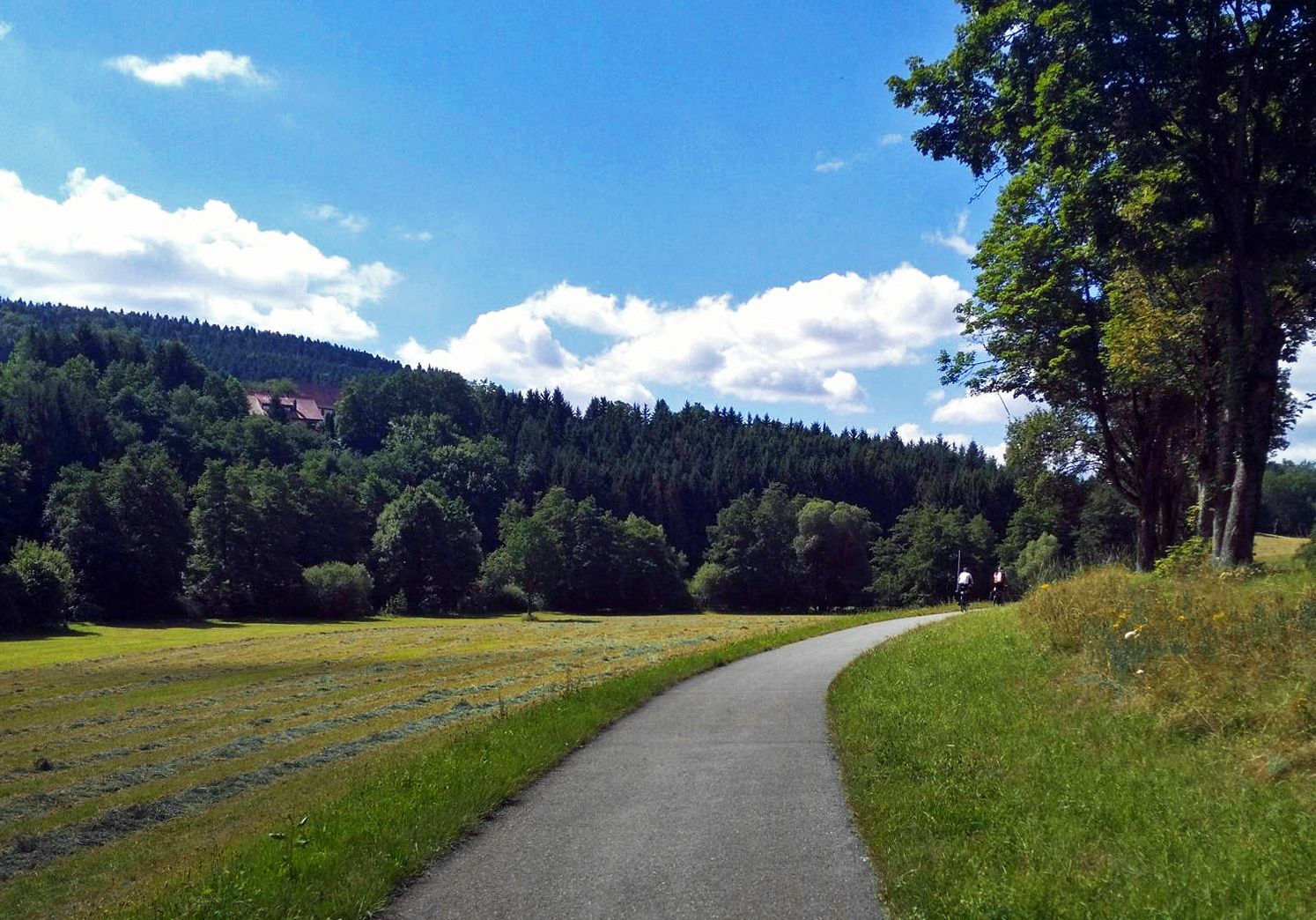
The Heidelberg-Schwarzwald-Bodensee-Radweg
Trail running between woodlands & wine in the Land of 1000 Hills

Oases of calm – hill sofas in the land of 1,000 hills
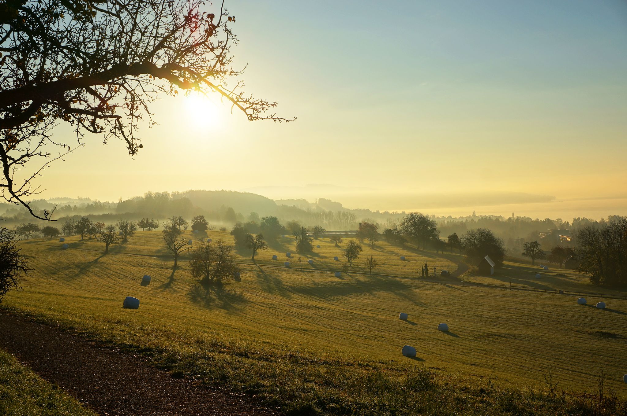
The Heidelberg-Schwarzwald-Bodensee-Radweg

Spring in the land of 1,000 hills – Kraichgau-Stromberg in Germany
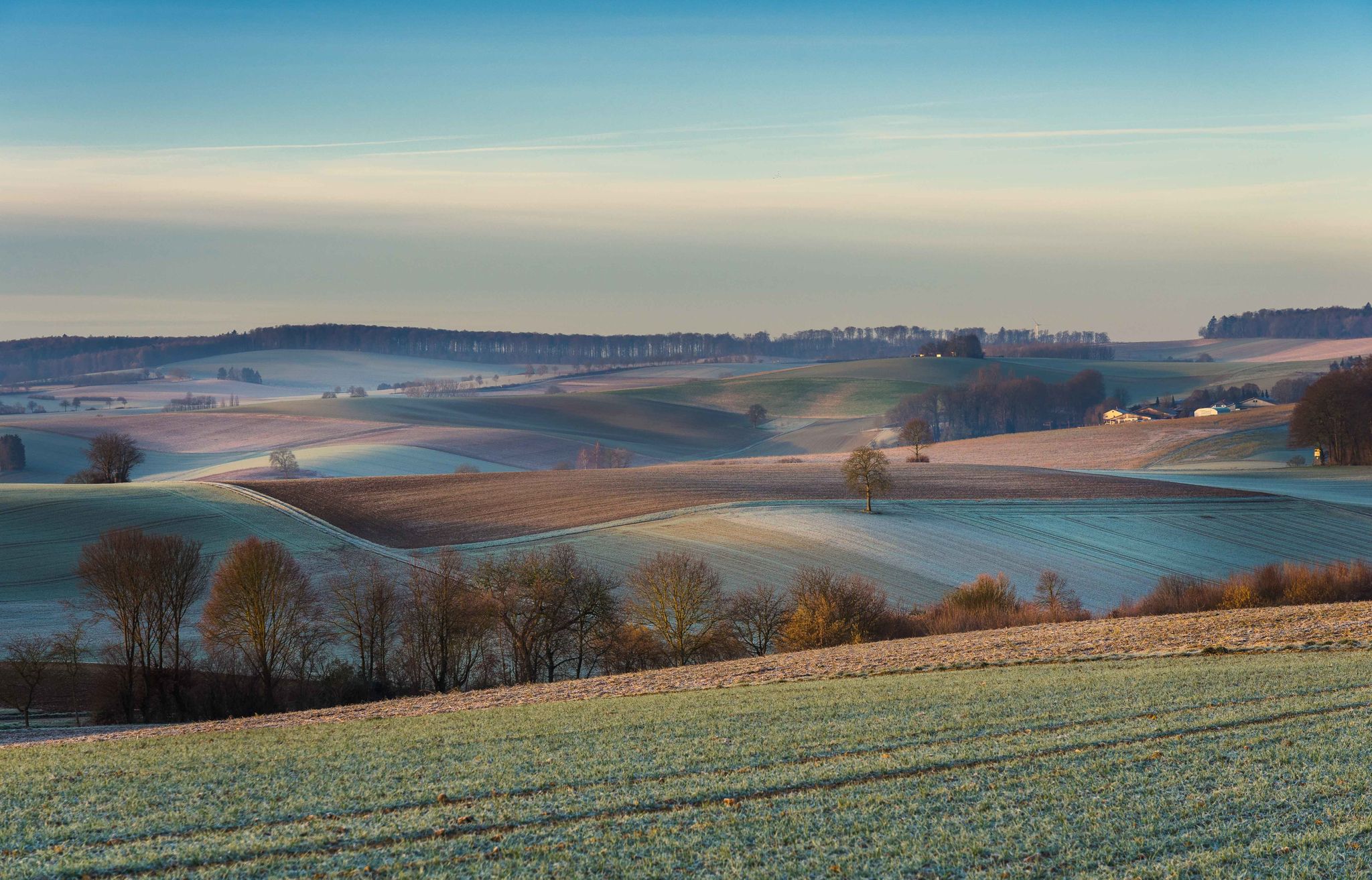
From hill to hill – hikes in Kraichgau-Stromberg
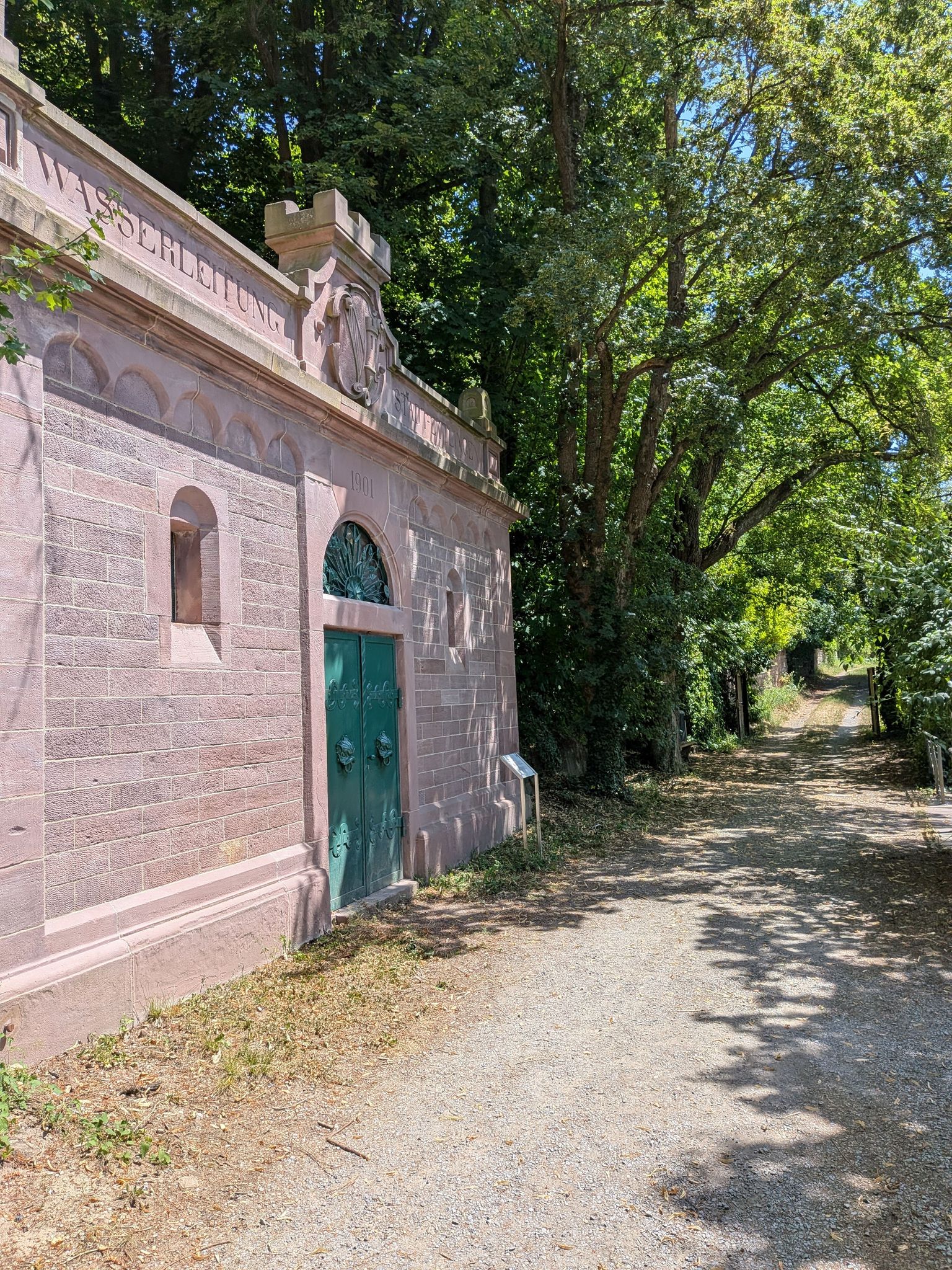
Zeitzeugen am Wegesrand – auf den Spuren der Kleindenkmale im Landkreis Karlsruhe

Wander3Klänge: Einfach Los Wandern im Naturpark Stromberg-Heuchelberg

Zu Fuß durchs Land der 1000 Hügel
Other adventures around Bretten


Tips from the Community

The Bannhalde is a 417 m high, wooded summit of the Stromberg, a ridge in the Stromberg-Heuchelberg Nature Park, which extends between Bretten in the west and the Neckar in the east. It rises above Sternenfels and houses the Stromberg operational site of the Lake Constance Water Supply Association and a mobile phone transmission mast. Only a few meters away, the K 4514 crosses its highest point. Quelle: https://www.quaeldich.de/paesse/bannhalde/
0
0
Tip: https://www.quaeldich.de/paesse/guendelbacher-steige/ 😅 !
0
0

You can find some gentle passes in the Land of 1000 Hills. One of them leads you up to the Ottilienberg (312 meters), Eppingen's local mountain. Once at the top, the Ottilienberg awaits you with its historic chapel – and from the Ottilienberg tower, a wide panoramic view over the Kraichgau. Take a selfie in front of the pass sign and upload it to the Wall of Fame – via the QR code on the pass sign or via the website kraichgau-stromberg.de/bewegen/radfahren/1000-huegel-paesse.
0
0


Graf-Eberstein-Schloss in the Gochsheim district of Kraichtal looks back on a history of over 700 years, leading from a medieval defensive castle to a magnificent Renaissance residence and finally to a modern museum.
6
0
Since the original historic Martinskirche in the village was transferred to the Protestant community in 1825, the Catholics built their own new church in 1911 at a slightly higher location. The building was erected in the Neo-Romanesque style, and at the same time as the church, the Catholic rectory was also built right next to it, to which a kindergarten was later added. The completion and consecration of the complex took place by 1913.
7
0
The pass at Derdinger Horn, located at an altitude of 287 meters, towers above Oberderdingen between vineyards and forest – with a wide view over the Kraichgau. Take a selfie in front of the pass sign and upload it to the Wall of Fame (via the QR code on the pass sign or via the website www.imsuedenganzoben.de/kraichgau-stromberg/de/huegel-paesse).
0
0

Douglas'sches Schloss in Scottish style. A bit neglected and closed since Corona.
0
0
Frequently Asked Questions
What are the general characteristics of road cycling routes around Bretten?
Road cycling routes around Bretten are characterized by rolling hills, agricultural fields, and historic towns. You'll find varied terrain, including moderate ascents and descents, with some routes featuring significant climbs exceeding 200 meters in elevation. Many paths pass by reservoirs and castles, offering diverse scenery.
What are the difficulty levels of road cycling routes around Bretten?
The Bretten region offers a good mix of road cycling routes for different abilities. Out of over 110 routes, the majority (91) are classified as moderate. For those seeking a gentler ride, there are 13 easy routes, while advanced cyclists can challenge themselves on 10 difficult routes.
Are there road cycling routes suitable for beginners or less experienced cyclists?
Yes, Bretten offers 13 easy road cycling routes perfect for beginners or those looking for a more relaxed ride. These routes typically feature less elevation gain and smoother terrain, allowing for an enjoyable introduction to the region's cycling paths.
What kind of challenges can advanced road cyclists expect near Bretten?
Advanced road cyclists will find 10 difficult routes around Bretten. These often include significant elevation gains, with some routes featuring climbs exceeding 200 meters, such as the Schindelberg Chapel – Old Tower at Stifterhof loop from Bretten Schulzentrum, which has over 800 meters of ascent. These routes provide a good test of endurance and climbing ability.
Are there circular road cycling routes available in Bretten?
Yes, many road cycling routes around Bretten are designed as loops, allowing you to start and end at the same point. Examples include the popular Gochsheim Castle – Gondelsheim Castle loop from Bretten Stadtmitte and the Schützingen town center – Ehmetsklinge Reservoir loop from Bretten Kupferhälde.
What notable attractions or landmarks can I see while road cycling near Bretten?
Many routes pass by historic sites and natural beauty. You might encounter landmarks like the Maulbronn Monastery (UNESCO World Heritage Site), or the historic Covered wooden bridge over the Enz. Routes often connect various castles, such as the Gondelsheim Castle – Bruchsal Palace loop from Bretten-Rechberg.
Are there routes that pass by scenic viewpoints or natural monuments?
Absolutely. The region features several scenic spots. You can find routes that lead to viewpoints like Michaelsberg, or pass by natural monuments such as the Ungeheuer Gorge. Many routes also skirt along lakes and reservoirs, including the West shore of Aalkistensee or Grötzingen Quarry Lake.
What do other road cyclists say about their experience in Bretten?
The road cycling routes around Bretten are highly rated by the komoot community, with an average score of 4.5 stars from over 100 reviews. Cyclists often praise the varied terrain, the well-maintained roads, and the scenic blend of historic towns and natural landscapes.
What is the best time of year for road cycling around Bretten?
The spring and autumn months generally offer the most pleasant conditions for road cycling in Bretten, with milder temperatures and beautiful scenery. Summer can also be excellent, though it's advisable to start earlier in the day to avoid the midday heat. Winter cycling is possible, but be mindful of colder temperatures and potential icy patches.
Where can I find parking for road cycling routes in Bretten?
Many road cycling routes around Bretten start from easily accessible points within or near towns, where public parking is generally available. For example, routes often begin near town centers or designated parking areas, such as the starting point for the Gondelsheim Castle – Straußenhof Gottesau loop from Bretten Rinklingen.
Are there any long-distance road cycling routes available near Bretten?
Yes, Bretten offers several longer road cycling routes. For instance, the Schindelberg Chapel – Old Tower at Stifterhof loop from Bretten Schulzentrum is a substantial 42.5-mile (68.3 km) route, providing a good challenge for those looking for a longer ride.
Can I find routes that pass by reservoirs or lakes?
Yes, several routes in the Bretten area incorporate local water bodies. A notable example is the Schützingen town center – Ehmetsklinge Reservoir loop from Bretten Kupferhälde, which takes you past the scenic Ehmetsklinge Reservoir. Other routes may pass by the West shore of Aalkistensee or Lake Pfannwald.
Most popular routes around Bretten
Most popular attractions around Bretten

Get inspired with the komoot mobile app


Explore more
Browse the best Road cycling routes in other regions.
