The best MTB trails in Icononzo
4.9
(32)
175
riders
3
rides
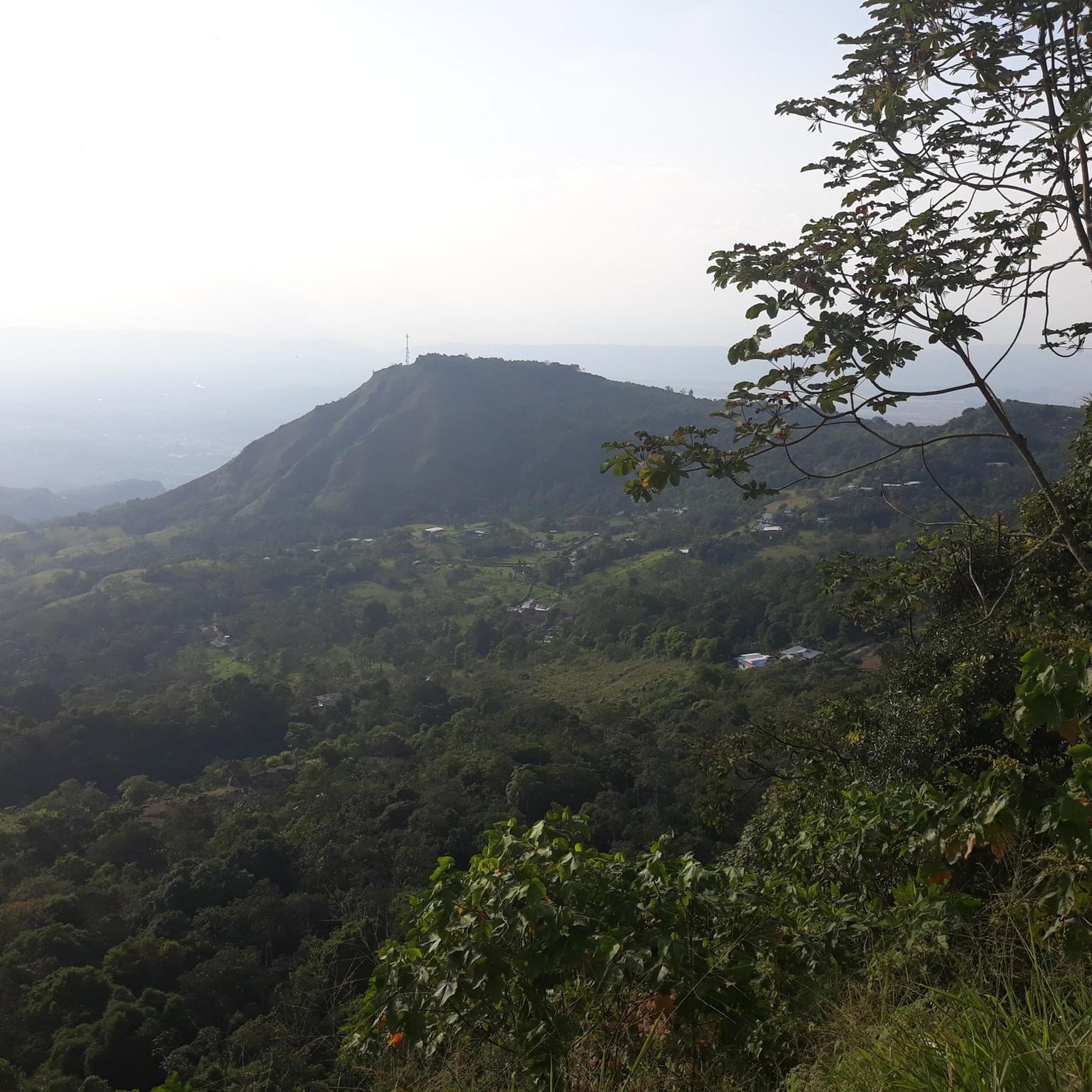
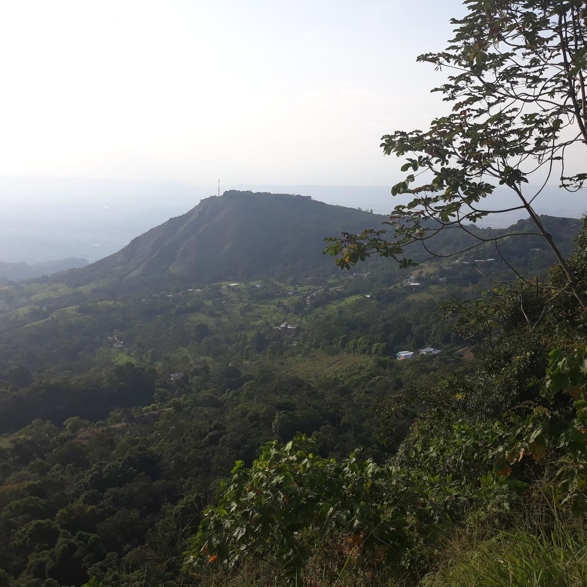
Mountain biking in Icononzo, located in Colombia's Tolima Department, offers diverse terrain across mountains, valleys, and varied ecosystems. The region is situated at an elevation of 1,304 meters (4,278 feet) above sea level, providing significant elevation changes and panoramic viewpoints. Natural features like deep canyons, a natural bridge, and waterfalls contribute to the varied landscape. These physical characteristics create a challenging and rewarding environment for mountain bike routes.
Best mountain bike trails in Icononzo
- The most popular mountain bike trail…
Last updated: June 29, 2026
5.0
(4)
35
riders
47.2km
04:06
810m
810m
Moderate mountain bike ride. Good fitness required. Suitable for all skill levels.
5.0
(5)
30
riders
51.1km
04:11
1,430m
1,430m
Hard mountain bike ride. Very good fitness required. Suitable for all skill levels.

Sign up for free
5.0
(2)
20
riders
35.1km
02:04
340m
340m
Moderate mountain bike ride. Good fitness required. Suitable for all skill levels.
12
riders
66.2km
03:53
500m
500m
Moderate mountain bike ride. Good fitness required. Suitable for all skill levels.
5.0
(3)
15
riders
69.1km
05:08
1,490m
1,490m
Hard mountain bike ride. Very good fitness required. Suitable for all skill levels.
Our route recommendations are based on thousands of hikes, rides, and runs completed by other people on komoot.
Start today with a free account
Your next adventure awaits.
Login or Signup
Popular around Icononzo
Frequently Asked Questions
What kind of terrain can I expect on mountain bike trails in Icononzo?
Icononzo, situated at 1,304 meters above sea level, offers a diverse landscape of mountains, valleys, and varied ecosystems. You'll encounter significant elevation changes, panoramic viewpoints, and natural features like deep canyons and waterfalls, providing a challenging and rewarding environment for mountain biking.
Are there challenging mountain bike trails in Icononzo for experienced riders?
Yes, Icononzo is known for its demanding routes. Many trails are described as 'difficult' and require very good fitness and advanced riding skills. For example, the Sumapaz River – Alto de la Cruz loop from Terminal de transportes is a difficult 31.8-mile (51.2 km) trail with substantial elevation gain, taking about 4 hours and 12 minutes to complete.
Are there any moderate mountain bike routes suitable for less experienced riders?
While many trails are challenging, there are options for moderate skill levels. The Alto de Peligros loop from Melgar is a popular moderate 21.8-mile (35.1 km) path that offers scenic views without the extreme demands of the more difficult routes.
What are the notable natural features or landmarks I might see while mountain biking in Icononzo?
Icononzo is rich in natural beauty. You can expect to see spectacular panoramic vistas from various viewpoints, earning it the nickname 'Balcony of the East.' Key natural attractions include the impressive Natural Bridge (also known as 'The Devil's Bridge'), and several waterfalls like 'El Salto' and 'Cascada La Maravilla.' There are also natural spas such as 'Las Lajas' with unique rock formations.
What do other mountain bikers say about the trails in Icononzo?
The mountain bike routes in Icononzo are highly rated by the komoot community, with an average score of 5.0 stars from over 30 reviews. Riders often praise the varied elevation, panoramic viewpoints, and diverse ecosystems that make for a challenging and rewarding experience. Over 160 mountain bikers have used komoot to explore the area's terrain.
Are there mountain bike trails that form a loop in Icononzo?
Yes, many of the mountain bike routes in Icononzo are designed as loops, allowing you to start and finish at the same point. Examples include the Tibacuy Town Park – Colombia loop from Finca Villa Aura and the Alto de la Cruz – Ninguna Parte Rock loop from Balcones de Sumapaz, offering comprehensive tours of the region's landscapes.
What is the typical elevation gain on mountain bike trails in Icononzo?
Given Icononzo's mountainous terrain and elevation of 1,304 meters, you can expect significant elevation gains. Difficult routes often feature over 1,000 meters of ascent. For instance, the Tibacuy Town Park – Colombia loop involves over 1,600 meters of elevation gain.
Is Icononzo suitable for family-friendly mountain biking?
While many routes are challenging, the region offers diverse outdoor activities. For family enjoyment, areas like 'Charco El Bremen' are adapted for visitors. When choosing a mountain bike route, it's advisable to check the difficulty rating; moderate trails like the Alto de Peligros loop from Melgar might be more suitable for families with some riding experience, though dedicated beginner or family-specific trails are less common among the most challenging routes.
Are there places to eat or stay near the mountain bike trails in Icononzo?
Icononzo's growing tourism infrastructure includes options for visitors. While specific cafes or pubs near trailheads are not detailed, the municipality offers glamping options for immersing yourself in nature, and general accommodation can be found in the area. It's recommended to check local listings for dining and lodging before your trip.
What are the best times of year to go mountain biking in Icononzo?
The Andean region where Icononzo is located generally experiences consistent temperatures year-round due to its proximity to the equator. However, rainfall patterns can vary. It's always best to check local weather forecasts closer to your planned visit to ensure optimal trail conditions, as heavy rains can impact trail quality and safety.
How can I access the mountain bike trails in Icononzo, particularly regarding parking or public transport?
Access points for trails often originate from towns or specific landmarks. While detailed parking information for every trailhead isn't available, routes like the Sumapaz River – Alto de la Cruz loop start from the Terminal de Transportes, suggesting public transport access. For other routes, starting points like 'Finca Villa Aura' or 'Balcones de Sumapaz' imply road access, where parking might be available. It's advisable to research specific starting points for parking options.
Most popular routes in Icononzo

Get inspired with the komoot mobile app


Explore more
Browse the best MTB trails in other regions.
