The best cycling routes in Aratoca
4.5
(3)
39
riders
5
rides
Touring cycling routes in Aratoca navigate the dramatic landscapes of Colombia's Santander department, characterized by the immense Chicamocha Canyon and the surrounding Andean Mountains. The region features significant elevation changes, offering both challenging climbs and rewarding descents. Cyclists encounter diverse terrain, from arid canyon sections with cacti to areas with pine forests and views of the Suarez River. This environment provides a demanding yet visually rich experience for touring cyclists.
Best touring cycling routes in Aratoca
- The most popular touring…
Last updated: July 2, 2026
10
riders
77.1km
05:34
1,670m
1,670m
Hard bike ride. Very good fitness required. Mostly paved surfaces. Suitable for all skill levels.
12
riders
46.5km
03:07
750m
750m
Hard bike ride. Very good fitness required. Mostly paved surfaces. Suitable for all skill levels.

Sign up for free
5.0
(2)
9
riders
36.8km
02:48
600m
600m
Hard bike ride. Very good fitness required. Mostly paved surfaces. Suitable for all skill levels.
4.0
(1)
5
riders
16.2km
01:15
210m
210m
Moderate bike ride. Good fitness required. Mostly paved surfaces. Suitable for all skill levels.
3
riders
25.5km
02:03
390m
390m
Moderate bike ride. Good fitness required. Mostly paved surfaces. Suitable for all skill levels.
Our route recommendations are based on thousands of hikes, rides, and runs completed by other people on komoot.
Start today with a free account
Your next adventure awaits.
Login or Signup
Popular around Aratoca
Tips from the Community

Leave early and have breakfast upon arrival at Los Curos
0
0

15km climb from El Pescadero to the town of Los Curos via Bucaramanga.
0
0

Two options to climb, either by Curos or the route to La Mesa, with different levels of difficulty.
0
0
Frequently Asked Questions
What kind of terrain can I expect on touring cycling routes in Aratoca?
Touring cycling in Aratoca is defined by the dramatic landscapes of the Chicamocha Canyon and the rugged Andean Mountains. You can expect significant elevation changes, with routes featuring both challenging climbs and rewarding descents. The terrain varies from arid canyon sections with cacti to areas with pine forests and views of the Suarez River, offering a visually rich and demanding experience.
Are there circular touring cycling routes available in Aratoca?
Yes, Aratoca offers several circular touring cycling routes. For instance, the popular Los Curos loop from Los Santos is a challenging 77.1 km route. Another option is the Bike loop from Alto De Niguas, which covers 46.4 km and provides panoramic views of the Chicamocha Canyon.
What are some notable natural features or viewpoints along the touring cycling routes?
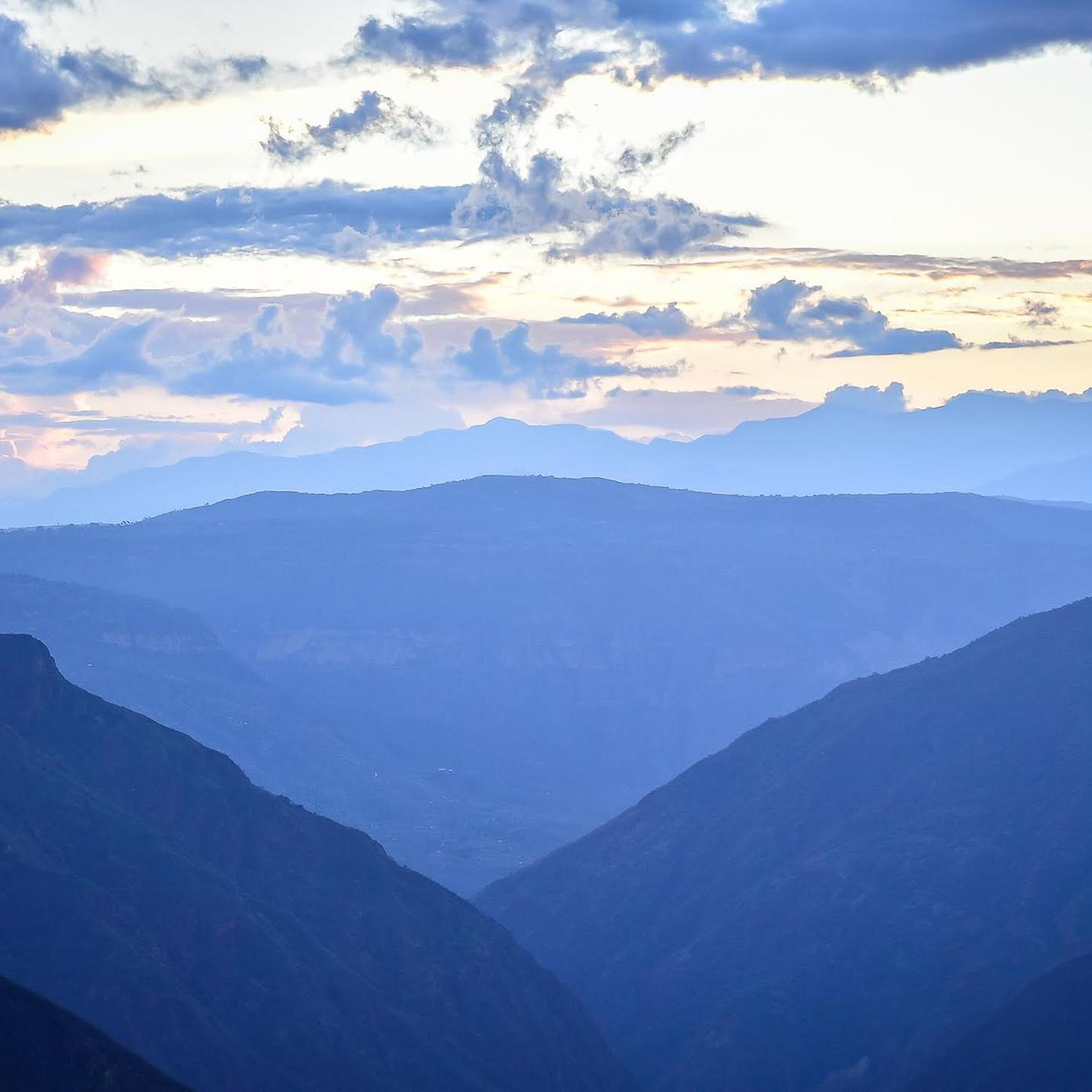
The touring cycling routes in Aratoca offer breathtaking views of the immense Chicamocha Canyon, the second largest canyon in the world. Many routes provide panoramic vistas of this natural wonder and the surrounding Andean Mountains. You might also encounter views of the Suarez River and its canyon, as well as areas with pine forests. While not directly on all cycling routes, the region is also home to natural pools like Pozo del Tambor and the impressive Juan Curi Waterfall.
How long do touring cycling routes in Aratoca typically take to complete?
The duration of touring cycling routes in Aratoca varies significantly based on their length and difficulty. For example, the challenging Los Curos loop from Los Santos, at 77.1 km, typically takes around 5 hours 33 minutes. A shorter, moderate route like the Chicamocha Canyon Viewpoint loop from La Mesa de Los Santos (25.4 km) can be completed in about 2 hours 3 minutes.
What is the best time of year for touring cycling in Aratoca?
Aratoca's climate is influenced by its Andean location and the Chicamocha Canyon. Generally, the region experiences dry and wet seasons. For touring cycling, the drier months typically offer more stable weather conditions and clearer views, making it ideal for tackling the challenging terrain. It's advisable to check local weather forecasts closer to your travel dates.
Are there any family-friendly touring cycling options in Aratoca?
While many routes in Aratoca feature significant elevation changes and are rated moderate to difficult, some shorter, less strenuous sections or specific routes might be suitable for families with older, experienced children. For example, the Chicamocha Canyon Viewpoint loop from Alto De Niguas is a moderate 16.2 km route that could be considered, depending on the family's cycling proficiency.
What do other touring cyclists say about their experience in Aratoca?
The touring cycling routes in Aratoca are highly rated by the komoot community, with an average score of 4.5 stars from 3 reviews. More than 40 touring cyclists have used komoot to explore Aratoca's varied terrain. Reviewers often praise the dramatic canyon landscapes, the challenging yet rewarding climbs, and the panoramic views that make for an unforgettable cycling adventure.
Are there any cultural or historical sites accessible from the touring cycling routes?
Yes, the region around Aratoca is rich in culture and history. The ancient Camino Real, a cobblestone path connecting charming colonial-era villages like Barichara and Guane, offers a glimpse into the region's past and can be integrated into cycling routes. Aratoca itself is known for its artisan traditions, particularly in fique (a natural fiber) and coffee production, providing cultural stops during your tour.
What are the difficulty levels of touring cycling routes in Aratoca?
Touring cycling in Aratoca caters to various ability levels, with routes predominantly rated as moderate to difficult due to the mountainous and canyon terrain. Out of the 6 available routes, 3 are classified as moderate and 3 as difficult, indicating that cyclists should be prepared for significant climbs and descents.
Are there any specific routes that offer direct views of the Chicamocha Canyon?
Absolutely. Many routes are designed to showcase the Chicamocha Canyon. For instance, the Chicamocha Canyon Viewpoint loop from Tienda doña helena is a difficult 36.8 km route specifically highlighting canyon vistas. The Chicamocha Canyon Viewpoint loop from La Mesa de Los Santos also offers varied landscapes with stunning canyon views.
Most popular routes in Aratoca

Get inspired with the komoot mobile app


Explore more
Browse the best Cycling routes in other regions.
