
The best running trails in Buenavista
5.0
(6)
88
runners
10
runs
Jogging in Buenavista offers a variety of routes across diverse terrain. The region features paths with notable elevation changes, indicating a landscape that includes hills and undulating ground. Running routes here range from moderate to difficult, providing options for different fitness levels. The area's natural composition supports outdoor activities, with trails that traverse varied distances.
Best jogging routes in Buenavista
- The most popular jogging route is Río Lejos loop from Pijao, a 6.4 miles (10.3 km) trail that takes…
Last updated: July 1, 2026
12
runners
10.3km
01:46
690m
690m
Hard run. Very good fitness required. Mostly paved surfaces. Suitable for all skill levels.
5.0
(2)
10
runners
9.05km
00:56
50m
50m
Moderate run. Good fitness required. Mostly paved surfaces. Suitable for all skill levels.

Sign up for free
8
runners
22.1km
02:24
150m
150m
Hard run. Very good fitness required. Mostly paved surfaces. Suitable for all skill levels.
5.0
(2)
6
runners
8.93km
00:58
60m
60m
Moderate run. Good fitness required. Mostly paved surfaces. Suitable for all skill levels.
6
runners
9.35km
01:23
490m
490m
Hard run. Very good fitness required. Mostly paved surfaces. Suitable for all skill levels.
Get access to more routes and recommendations from other explorers.
Sign up for free
Already have an account?
Our route recommendations are based on thousands of hikes, rides, and runs completed by other people on komoot.
Start today with a free account
Your next adventure awaits.
Login or Signup
Popular around Buenavista
Frequently Asked Questions
What kind of terrain can I expect on running routes in Buenavista?
Jogging routes in Buenavista feature diverse terrain with notable elevation changes, indicating a landscape that includes hills and undulating ground. You'll find a mix of moderate and difficult trails, offering varied experiences for different fitness levels.
Are there any easy or beginner-friendly jogging routes in Buenavista?
While many routes in Buenavista involve significant elevation, there are options suitable for a steady run. For example, the Running loop from La Tebaida is a moderate 5.6-mile (9.0 km) path with less elevation, making it more accessible for those seeking a less challenging experience.
How many jogging routes are available in Buenavista?
There are over 10 dedicated jogging routes in Buenavista, offering a variety of distances and difficulty levels. These routes are highly rated by the komoot community, with an average score of 5.0 stars.
What do other runners enjoy most about jogging in Buenavista?
The komoot community highly rates the running trails in Buenavista, with an average score of 5.0 stars from 6 reviews. Runners often praise the varied terrain and the challenge offered by routes with significant elevation gain, as well as the options for more moderate, steady runs.
Are there any circular running routes in Buenavista?
Yes, Buenavista offers several circular running routes. A popular option is the Río Lejos loop from Pijao, a challenging 6.4-mile (10.3 km) trail with significant elevation. Another is the Mall Paraíso Comfenalco loop from Bianco, a shorter 3.1-mile (5.0 km) route.
What are the distances of the running routes in Buenavista?
Running routes in Buenavista vary in distance. You can find shorter paths like the Mall Paraíso Comfenalco loop from Bianco at 3.1 miles (5.0 km), to longer, more challenging runs such as the Mall Paraíso Comfenalco loop from La Tebaida, which spans 13.7 miles (22.1 km).
Are there any running routes that pass through local areas or offer views of the community?
Yes, some routes lead through local areas, providing a glimpse into the community. The Mall Paraíso Comfenalco loop from La Tebaida is an example of a route that takes you through local areas, offering a different perspective during your run.
What is the most challenging running route in Buenavista?
The Río Lejos loop from Pijao is considered one of the most challenging running routes. It's a 6.4-mile (10.3 km) trail featuring significant elevation gain, making it a demanding option for experienced runners.
Are there any routes suitable for a longer, more challenging run?
For a longer and more challenging experience, consider the Mall Paraíso Comfenalco loop from La Tebaida. This difficult route covers 13.7 miles (22.1 km) and includes notable elevation changes, perfect for those looking to push their limits.
What kind of natural features can I expect to see while running in Buenavista?
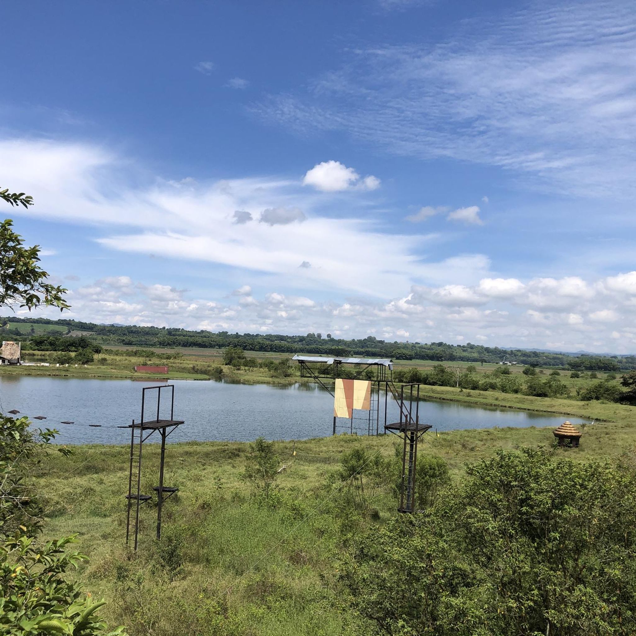
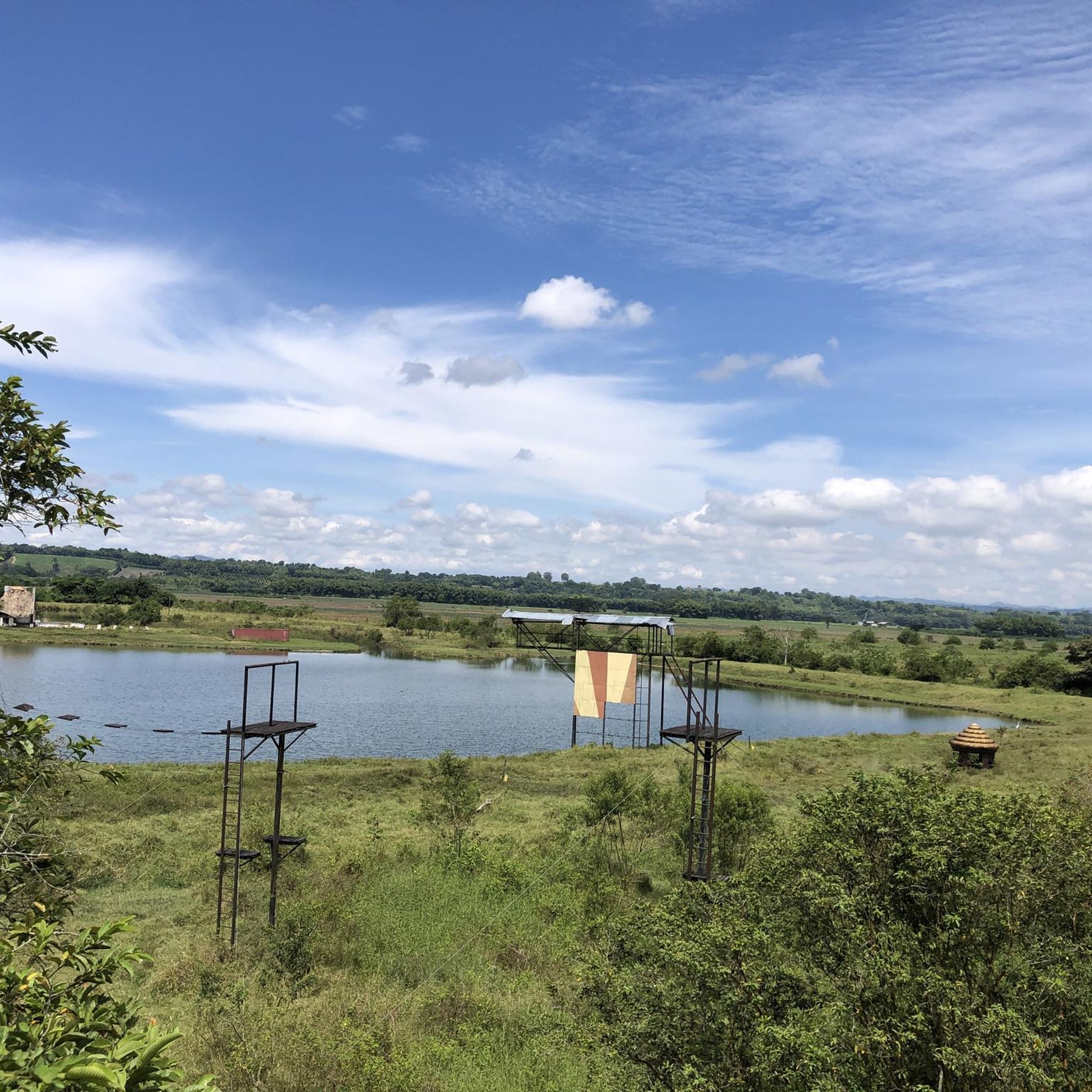
While specific natural features depend on the exact location, Buenavista regions globally are known for diverse landscapes. The routes in this Buenavista offer varied terrain, suggesting a natural environment with hills and undulating ground, providing a scenic backdrop for your run.
Is there a moderate-difficulty running route that is popular among locals?
Yes, the Running loop from Industrias Printex is a popular moderate 5.5-mile (8.9 km) path. It offers an accessible experience with less extreme elevation changes, making it a favorite for a steady run among local runners.
Most popular routes in Buenavista

Get inspired with the komoot mobile app


Explore more
Browse the best Running Trails & Routes in other regions.
