The best cycling routes in La Florida
5.0
(1)
22
riders
2
rides
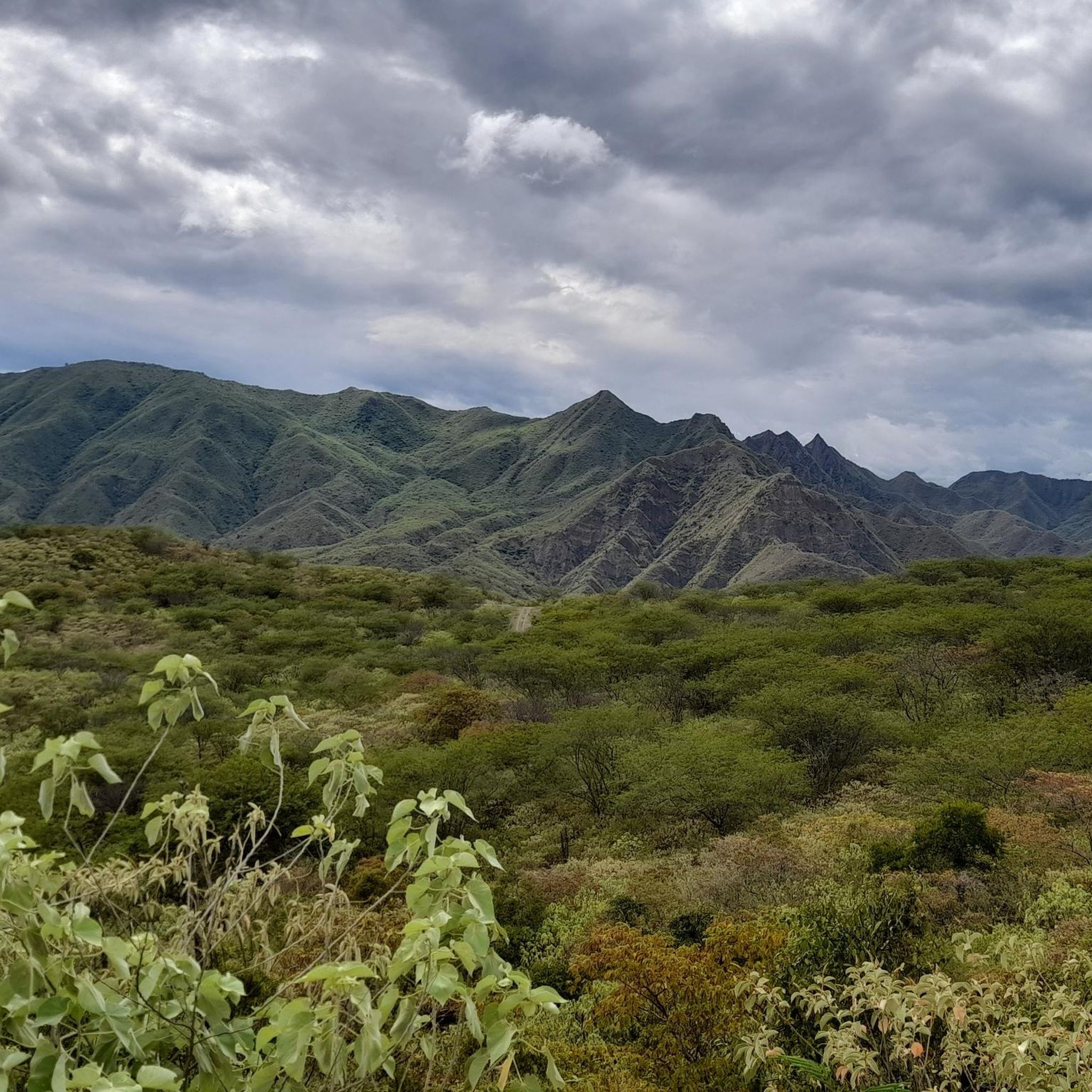
Touring cycling routes in La Florida, Colombia, are characterized by mountainous terrain and lush tropical landscapes. The region features significant elevation changes, offering challenging climbs and rewarding descents. Cyclists can expect to encounter diverse natural environments, including areas with panoramic views.
Best touring cycling routes in La Florida
- The most popular touring cycling route is Santabarbara (Las Tapias) – Tambo loop from Pasto, a 74.5 miles (119.9 km) trail that takes 9 hours 13 minutes to complete. This route…
Last updated: July 2, 2026
5.0
(1)
10
riders
122km
09:22
3,160m
3,160m
Hard bike ride. Very good fitness required. Mostly paved surfaces. Suitable for all skill levels.
6
riders
38.3km
03:36
1,190m
1,190m
Hard bike ride. Very good fitness required. Mostly paved surfaces. Suitable for all skill levels.

Sign up for free
4
riders
33.9km
02:45
950m
950m
Hard bike ride. Very good fitness required. Mostly paved surfaces. Suitable for all skill levels.
2
riders
42.4km
03:18
1,140m
1,140m
Hard bike ride. Very good fitness required. Mostly paved surfaces. Suitable for all skill levels.
Our route recommendations are based on thousands of hikes, rides, and runs completed by other people on komoot.
Start today with a free account
Your next adventure awaits.
Login or Signup
Popular around La Florida
Tips from the Community

Frequently Asked Questions
What kind of terrain can I expect on touring cycling routes in La Florida, Colombia?
Touring cycling routes in La Florida, Colombia, are primarily characterized by mountainous terrain and lush tropical landscapes. You should expect significant elevation changes, offering both challenging climbs and rewarding descents through diverse natural environments.
How many touring cycling routes are available in this guide for La Florida, Colombia?
This guide features four highly-rated touring cycling routes in La Florida, Colombia, showcasing the best of the region's landscape. These routes are popular among local cyclists for their challenging nature and scenic beauty.
Are there any long-distance touring cycling routes in La Florida, Colombia?
Yes, for those seeking a significant challenge, the Santabarbara (Las Tapias) – Tambo loop from Pasto is a notable long-distance option. It spans nearly 120 km (74.5 miles) and features over 3,100 meters of elevation gain, making it a demanding ride that typically takes over nine hours to complete.
What is the difficulty level of touring cycling routes in La Florida, Colombia?
The touring cycling routes in La Florida, Colombia, as highlighted in this guide, are generally considered difficult. They involve significant climbs and descents through mountainous areas, suitable for experienced touring cyclists looking for a challenge.
Are there any circular touring cycling routes available?
Yes, all the routes listed in this guide are circular. For example, you can explore the Santabarbara (Las Tapias) – Tambo loop from Pasto, the Daza loop from Pasto, or the Pine Tree Path – La Cruz Viewpoint loop from Antonio Narino Airport, all designed as loops for convenient exploration.
What kind of views can I expect on these cycling routes?
Given the mountainous terrain and tropical landscapes, you can expect stunning panoramic views along many of the routes. The Pine Tree Path – La Cruz Viewpoint loop from Antonio Narino Airport, for instance, specifically mentions leading to a viewpoint, suggesting excellent scenic opportunities.
What do other touring cyclists say about cycling in La Florida, Colombia?
The area is highly rated by the komoot community, with an average score of 5.0 stars. Cyclists often praise the challenging nature of the routes and the beautiful, diverse natural environments encountered during their rides.
Are there any shorter, yet still challenging, routes for touring cyclists?
If you're looking for a shorter but still difficult ride, the Daza loop from Pasto is a great option. It's about 38 km (23.8 miles) long with significant climbs, offering a substantial workout in a shorter duration. Another option is the Chachatoy-Daza loop from Dorado, which is around 42 km (26.3 miles) and also difficult.
What is the best time of year for touring cycling in La Florida, Colombia?
While specific seasonal considerations for La Florida, Colombia, are not detailed, regions with tropical mountainous climates often have distinct wet and dry seasons. Generally, the dry season offers more predictable weather and clearer trails for cycling. It's advisable to check local weather forecasts before planning your trip.
What are some key features of the touring cycling routes near Pasto?
Routes originating near Pasto, such as the Santabarbara (Las Tapias) – Tambo loop from Pasto and the Daza loop from Pasto, are known for their significant elevation gains and diverse Colombian landscapes. They offer an immersive experience into the region's natural beauty and challenging topography.
Are there any routes that start near Antonio Nariño Airport?
Yes, the Pine Tree Path – La Cruz Viewpoint loop from Antonio Narino Airport is a convenient option if you're arriving or departing from the airport. This 33.9 km (21.1 miles) route takes you through mountainous areas and offers scenic views.
Most popular routes in La Florida

Get inspired with the komoot mobile app


Explore more
Browse the best Cycling routes in other regions.
