The best MTB trails in Acevedo
4.5
(8)
45
riders
12
rides
Mountain bike trails in Acevedo are characterized by the region's Andean topography, offering a diverse range of elevations from 297 meters to 2,656 meters above sea level. The landscape features mountainous terrain, including parts of the Eastern Cordillera and the Serranía de la Ceja, with small valleys along the Suaza River. This environment provides varied challenges and scenic views across lush, green landscapes.
Best mountain bike trails in Acevedo
- The most popular mountain bike trail is San Calixto Church, Timaná…
Last updated: June 29, 2026
5.0
(1)
10
riders
24.6km
01:56
640m
640m
Moderate mountain bike ride. Good fitness required. Suitable for all skill levels.
2.0
(1)
3
riders
24.6km
01:31
220m
220m
Easy mountain bike ride. Great for any fitness level. Suitable for all skill levels.

Sign up for free
5.0
(3)
7
riders
50.0km
03:12
570m
570m
Moderate mountain bike ride. Good fitness required. Suitable for all skill levels.
5.0
(1)
4
riders
124km
09:08
2,390m
2,390m
Hard mountain bike ride. Very good fitness required. Suitable for all skill levels.
5.0
(1)
4
riders
24.4km
01:52
550m
550m
Moderate mountain bike ride. Good fitness required. Suitable for all skill levels.
Get access to more routes and recommendations from other explorers.
Sign up for free
Already have an account?
Our route recommendations are based on thousands of hikes, rides, and runs completed by other people on komoot.
Start today with a free account
Your next adventure awaits.
Login or Signup
Popular around Acevedo
Tips from the Community

carry a lot of water and have a lot of resistance
0
0

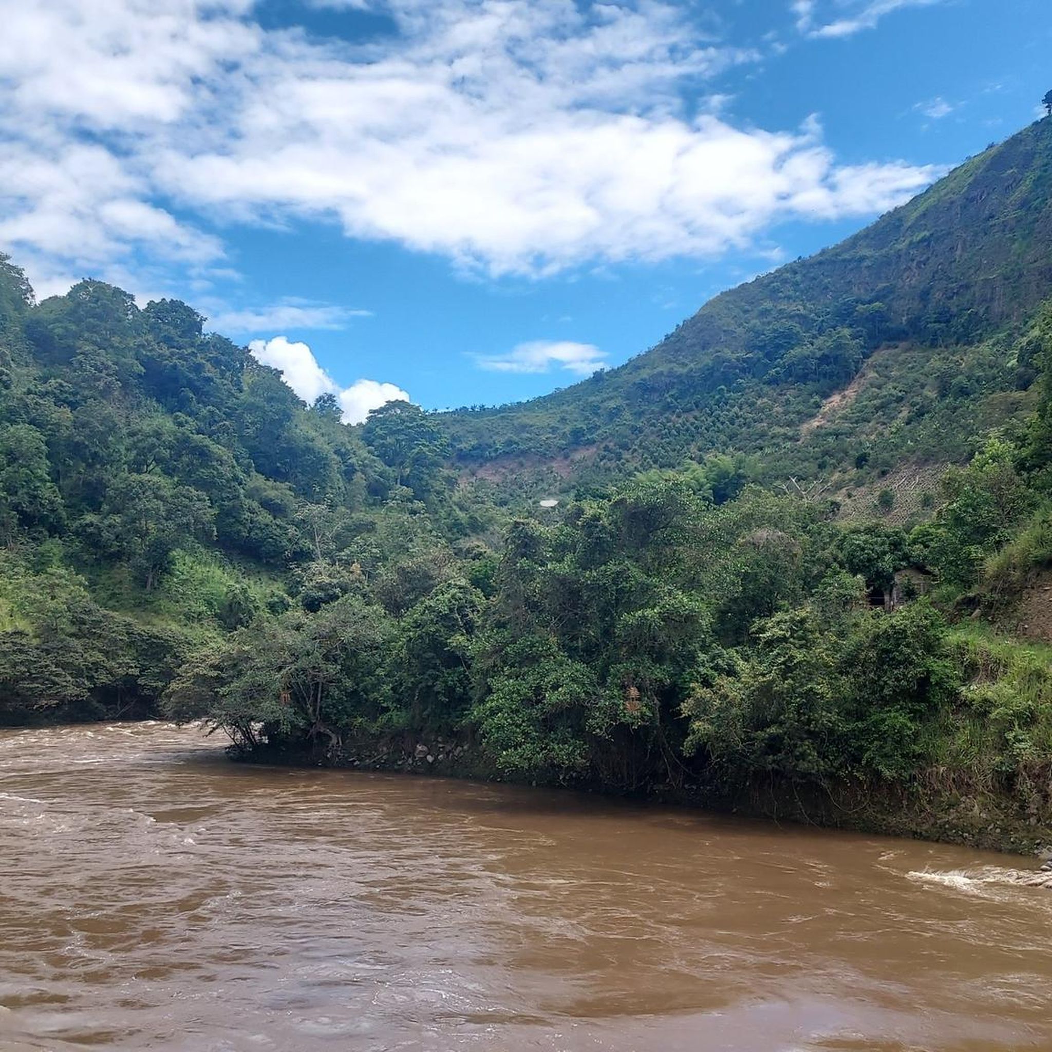
The Magdalena Strait is the narrowest part of the river at 2.20 m, after 70 km on the way from the source to the mouth. The slopes consist of more than 70 million years old compacted lava from the volcanoes of "Pelota" and "Purutal". The reddish color of some rocks is due to the presence of iron sulphate in the area. In some rocks there are 120 million year old sea shells, so-called ammonites. It is considered a sacred place and most indigenous people built their villages along rivers such as the Magdalena.
1
0
The Magdalena Strait is the narrowest part of the river at 2.20 m, after 70 km on the way from the source to the mouth. The slopes consist of more than 70 million years old compacted lava from the volcanoes of "Pelota" and "Purutal". The reddish color of some of the rocks is due to the presence of iron sulphate in the area. In some rocks there are 120 million year old sea shells, so-called ammonites. It is considered a sacred place and most indigenous people built their villages along rivers such as the Magdalena. Also accessible by horseback riding.
0
0
In addition to the replicas of the figures from the San Agustín Archaeological Park that can be purchased, you can climb a 7m high replica including a flag 🇨🇴 for a fee.
1
0
Main square of the tourist town of San Agustín.
1
0
It's hard to believe that a river more than 1500km long can fit through such a narrow gap (about 2m). But that's how he gets strong and vigorous for his long voyage into the Atlantic. The Cordillera in the San Agustín area is a special watershed. Within a few kilometers it is decided whether the water will flow into the Pacific (Rio Cauca), down the Amazon basin or over the Rio Magdalena into the Atlantic.
4
0
Wonderful view of the river narrows. Drinks and souvenirs are sold at seasonal times.
0
0
Lively center of San Agustin with the beautiful main church of the saint who gave the town its name. At Christmas there is a living nativity scene with animals.
2
0
Frequently Asked Questions
How many mountain bike trails are available in Acevedo?
Acevedo offers a selection of 13 mountain bike trails, catering to various skill levels. These routes traverse the region's diverse Andean topography, providing a range of experiences from gentle rides to challenging climbs.
What kind of terrain can I expect on mountain bike trails in Acevedo?
You can expect mountainous terrain with significant elevation changes, as Acevedo is situated in the Andean region. Trails feature parts of the Eastern Cordillera and the Serranía de la Ceja, with elevations ranging from 297 to 2,656 meters. The landscape is characterized by lush, green mountains and small valleys along the Suaza River, offering both challenging ascents and scenic descents.
Are there mountain bike trails suitable for beginners in Acevedo?
Yes, Acevedo has trails suitable for beginners. For instance, the San Calixto Church, Timaná loop from Pitalito is an easy 15.2-mile (24.5 km) route that leads through green mountains, offering a more relaxed riding experience.
Are there challenging mountain bike routes for experienced riders in Acevedo?
Absolutely. Experienced riders will find demanding routes such as the San Calixto Church, Timaná – Magdalena River Gorge loop from Pitalito. This difficult 77.2-mile (124.2 km) trail features significant elevation gains and requires approximately 9 hours and 32 minutes to complete, offering a substantial challenge.
What natural features or landmarks can I see along the mountain bike trails in Acevedo?
While riding in Acevedo, you'll experience lush, verdant scenery characteristic of the Andean forest. The region is known for its 'green mountains' and is home to the Cueva de los Guácharos National Natural Park, where the Suaza River originates. You might also encounter picturesque coffee plantations, as Acevedo is a significant coffee producer, adding a cultural dimension to your ride.
Are there any loop trails for mountain biking in Acevedo?
Yes, many of Acevedo's mountain bike trails are designed as loops. Examples include the moderate El Filo Route loop from Pitalito, which offers varied terrain, and the Palestina Park – San Calixto Church, Timaná loop from Pitalito, a moderate 30.9-mile (49.7 km) option.
What is the best time of year for mountain biking in Acevedo?
Acevedo's climate is generally conducive to outdoor activities year-round due to its tropical location and varied elevations. However, for optimal conditions, it's often best to check local weather forecasts, as rainfall can vary. The lush green landscapes are a constant, but drier periods might offer more comfortable riding on unpaved sections.
Are there family-friendly mountain bike options in Acevedo?
While specific 'family-friendly' designations are not provided, the presence of easy-grade trails suggests options for families with some biking experience. The San Calixto Church, Timaná loop from Pitalito, for example, is an easy route that could be suitable for families looking for a less strenuous ride through scenic landscapes.
What do other mountain bikers say about the trails in Acevedo?
The mountain bike routes in Acevedo are highly rated by the komoot community, with an average score of 4.5 stars from over 8 reviews. Riders often praise the varied terrain and the immersive natural setting provided by the region's green mountains and Andean topography.
Is there parking available near the mountain bike trails in Acevedo?
While specific parking facilities are not detailed for each trail, many routes, particularly those starting from Pitalito, would likely have access to general parking areas within or near the town. It's advisable to check local information or tour starting points for the most convenient parking options.
Are there any permits required for mountain biking on trails in Acevedo?
Generally, permits are not required for mountain biking on the trails themselves in Acevedo. However, if your route takes you into protected areas like the Cueva de los Guácharos National Natural Park, it's always best to check with park authorities for any specific entry requirements or regulations.
Can I find moderate difficulty mountain bike trails in Acevedo?
Yes, Acevedo offers several moderate difficulty trails. A good example is the View of Cerro El Cable – San Calixto Church, Timaná loop from Pitalito, a 15.2-mile (24.5 km) route that provides a balanced challenge with varied elevation changes, suitable for riders looking for more than an easy ride but less than a full-on difficult expedition.
Most popular routes in Acevedo

Get inspired with the komoot mobile app


Explore more
Browse the best MTB trails in other regions.
