The best road cycling routes in Tocancipá
4.6
(181)
6,112
riders
15
rides
Road cycling in Tocancipá, a municipality in Cundinamarca, Colombia, offers routes through challenging Andean landscapes and diverse terrain. Located at an altitude of 2,605 meters (8,547 ft) within the Eastern Ranges of the Colombian Andes, the region features significant elevation changes. Cyclists encounter varied environments, from demanding ascents like the Salitre–Guasquita Climb to routes passing through lush green scenery and farmlands. The area provides a range of road cycling experiences for different skill levels.
Best road cycling routes in Tocancipá
…Last updated: July 1, 2026
36
riders
51.8km
02:59
400m
400m
Moderate road ride. Good fitness required. Some segments of this route may be unpaved and difficult to ride.
5.0
(1)
28
riders
Moderate road ride. Good fitness required. Some segments of this route may be unpaved and difficult to ride.

Sign up for free
14
riders
28.9km
01:11
140m
140m
Easy road ride. Great for any fitness level. Mostly well-paved surfaces and easy to ride.
11
riders
Easy road ride. Great for any fitness level. Mostly well-paved surfaces and easy to ride.
10
riders
Easy road ride. Great for any fitness level. Mostly well-paved surfaces and easy to ride.
Get access to more routes and recommendations from other explorers.
Sign up for free
Already have an account?
Our route recommendations are based on thousands of hikes, rides, and runs completed by other people on komoot.
Start today with a free account
Your next adventure awaits.
Login or Signup
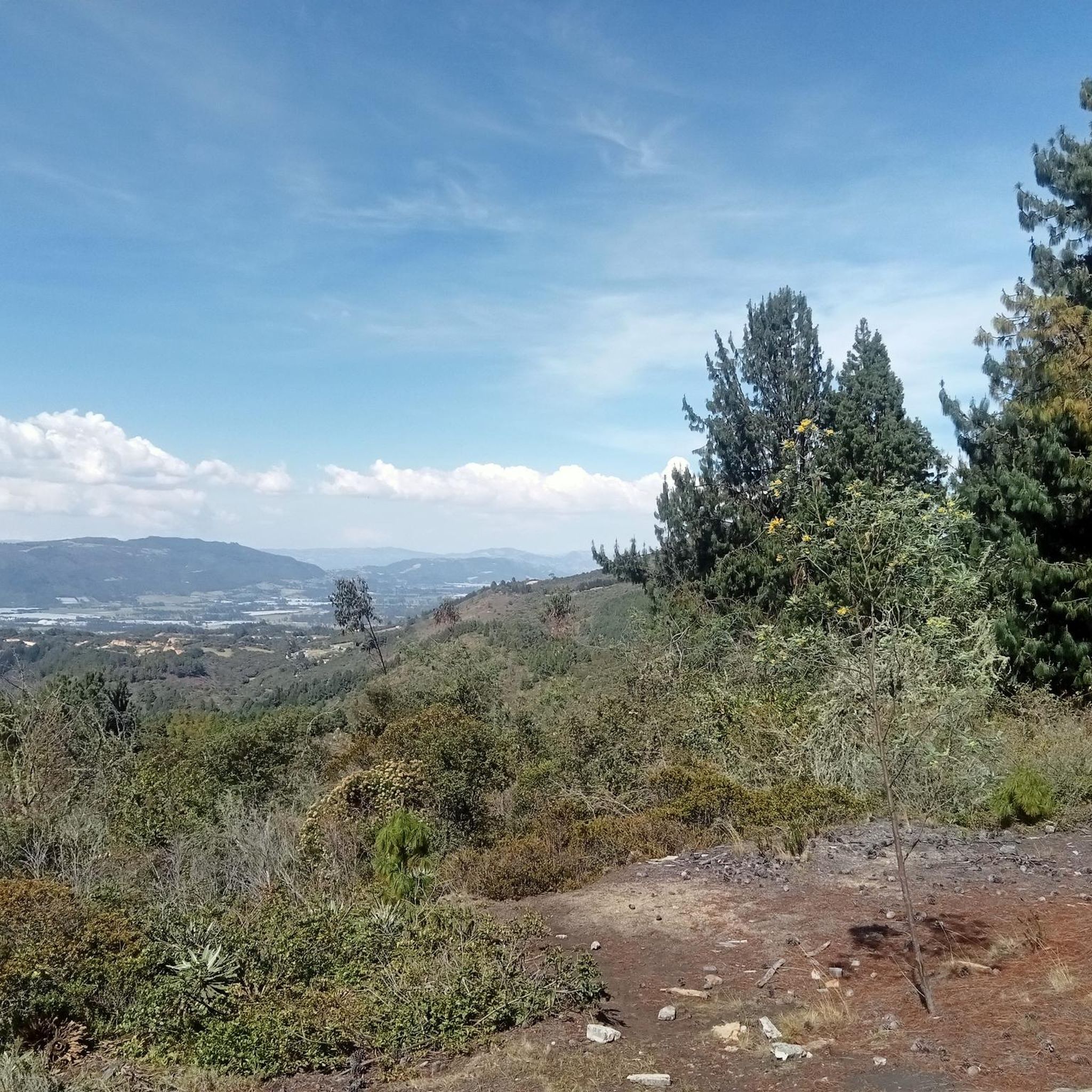
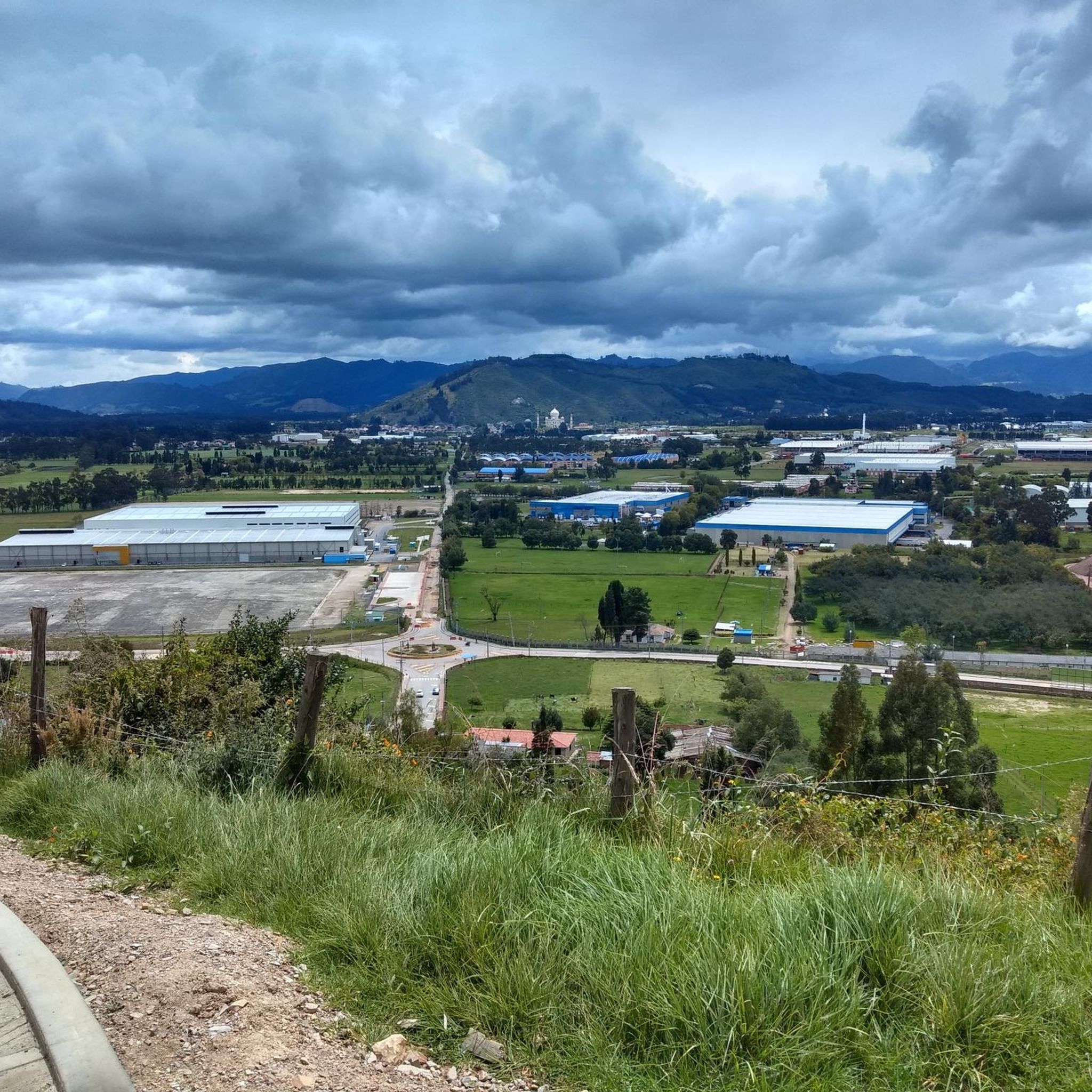
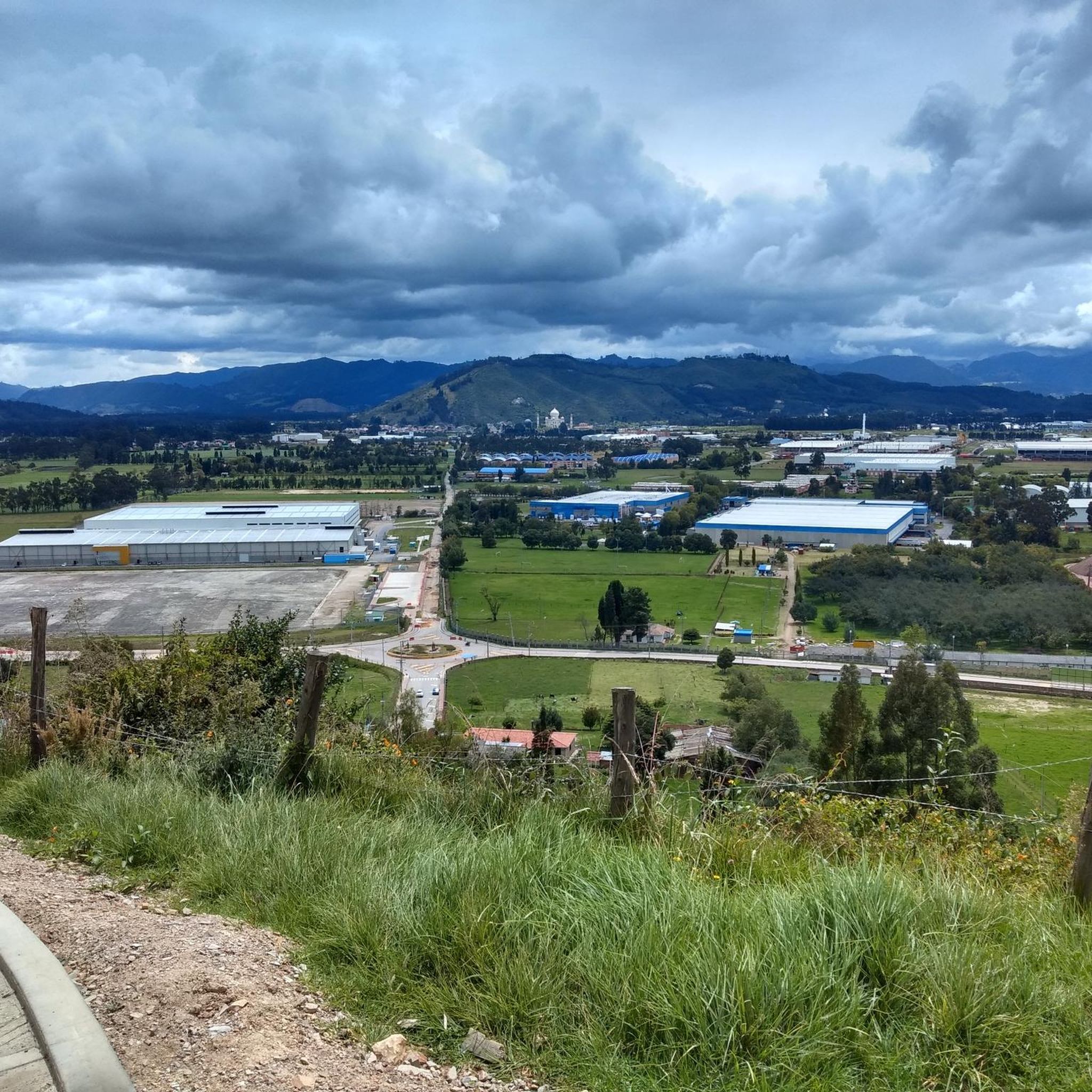
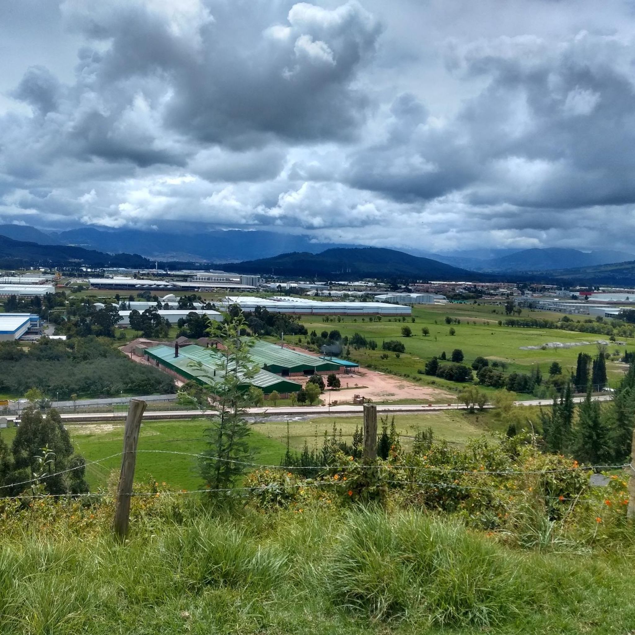

Tips from the Community


Excellent place, a bike ride through the Zipaquira salt cathedral... if you go from Bogotá you should leave with time... from Usme cycling between 25 to 28 km/h with 2 stops, it took us 3 hours and 20 minutes...
0
0

There are plenty of dining options on the square.
0
0

Old train station where there is a big train station especially on weekends when the tourist pays his respects.
0
0
In addition to the salt cathedral, a detour through the historic old town with its hustle and bustle around the large square and its side streets is also worthwhile.
1
0


Good objective, I suggest via Patios round trip to train various types (hill, bottom, hitts if you want in Arepas).
0
0
Frequently Asked Questions
What kind of terrain can I expect on road cycling routes in Tocancipá?
Tocancipá, situated at 2,605 meters (8,547 ft) in the Eastern Ranges of the Colombian Andes, offers a diverse and challenging landscape for road cyclists. You'll encounter significant elevation changes, from demanding ascents to routes passing through lush green scenery and farmlands. The region is known for its varied environments, providing a dynamic cycling experience.
Are there challenging climbs for experienced road cyclists in Tocancipá?
Yes, Tocancipá is renowned for its demanding ascents, making it a popular training ground. Notable climbs include the Salitre–Guasquita Climb, known for its considerable gradient, and the famous Alto de la Cuchilla, an 11-kilometer ascent near Guasca. Another option is the Patiguapos Climb (San Jorge), an intermediate 4.4-kilometer climb with a 5% incline, offering scenic views.
What is the best time of year to go road cycling in Tocancipá?
Colombia's climate generally allows for year-round cycling, with temperatures varying based on altitude. Tocancipá's high altitude means cooler, more consistent temperatures. While specific monthly averages aren't provided, the region's strong cycling culture and diverse terrain are accessible throughout the year, making most times suitable for a ride.
Are there easy or beginner-friendly road cycling routes in Tocancipá?
Yes, while the region is known for its challenging climbs, there are also easier options. For instance, the Sopó Main Square and Church loop from Estación Briceño is an easy 17.9-mile (28.9 km) trail that leads through local farmlands and villages, typically completed in about 1 hour 11 minutes. Another easy route is La Puerta Falsa – Briceño loop from Estación Briceño, covering 41.2 km.
What do other road cyclists enjoy most about road cycling in Tocancipá?
The road cycling routes in Tocancipá are highly rated by the komoot community, with an average score of 3.9 stars from over 11 reviews. Cyclists often praise the challenging Andean landscapes, the significant elevation changes, and the diverse terrain that offers options for various ability levels, from easier loops to more demanding climbs.
Are there any circular road cycling routes available in Tocancipá?
Yes, many of the road cycling routes in Tocancipá are designed as loops, offering a convenient way to start and finish at the same point. Examples include the popular Potosí Heights – Sopó Main Square and Church loop from Estación Briceño and the Tocancipá Coliseum – Sopó Main Square and Church loop from Estación de Tocancipá.
What kind of natural landscapes or viewpoints can I experience while cycling in Tocancipá?
Cyclists in Tocancipá can enjoy lush green scenery, farmlands, and breathtaking mountain views. Routes often pass through areas with natural reserves and offer panoramic vistas of the Colombian Andes. The region's proximity to places like Guatavita also means access to additional scenic routes and points of interest like the Tominé Reservoir.
Can I find places to eat or grab a coffee along the road cycling routes?
While specific cafes or restaurants are not detailed for every route, the presence of villages and towns like Sopó and Tocancipá along many routes suggests opportunities to find local establishments for refreshments. The strong cycling culture in Colombia often means communities are welcoming to cyclists.
How many road cycling routes are available in Tocancipá?
There are over 15 road cycling routes available in Tocancipá, catering to various skill levels. This includes 11 easy routes and 4 moderate routes, ensuring options for both beginners and more experienced riders looking for a challenge.
Are there any notable landmarks or attractions near the road cycling routes in Tocancipá?
Beyond the challenging climbs, the region offers several points of interest. Cyclists can explore the area around the Tominé Reservoir or experience mountain passes like Alto del Águila – Páramo Guerrero, which provide stunning views and a sense of achievement.
What is the average duration for a road cycling route in Tocancipá?
The duration of road cycling routes in Tocancipá varies depending on the distance and difficulty. For example, the moderate Potosí Heights – Sopó Main Square and Church loop from Estación Briceño takes about 2 hours 58 minutes, while an easier route like Sopó Main Square and Church loop from Estación Briceño can be completed in about 1 hour 11 minutes.
Most popular attractions in Tocancipá

Get inspired with the komoot mobile app


Explore more
Browse the best Road cycling routes in other regions.
