The best walks and hikes in Tibacuy
4.9
(7)
27
hikers
6
hikes
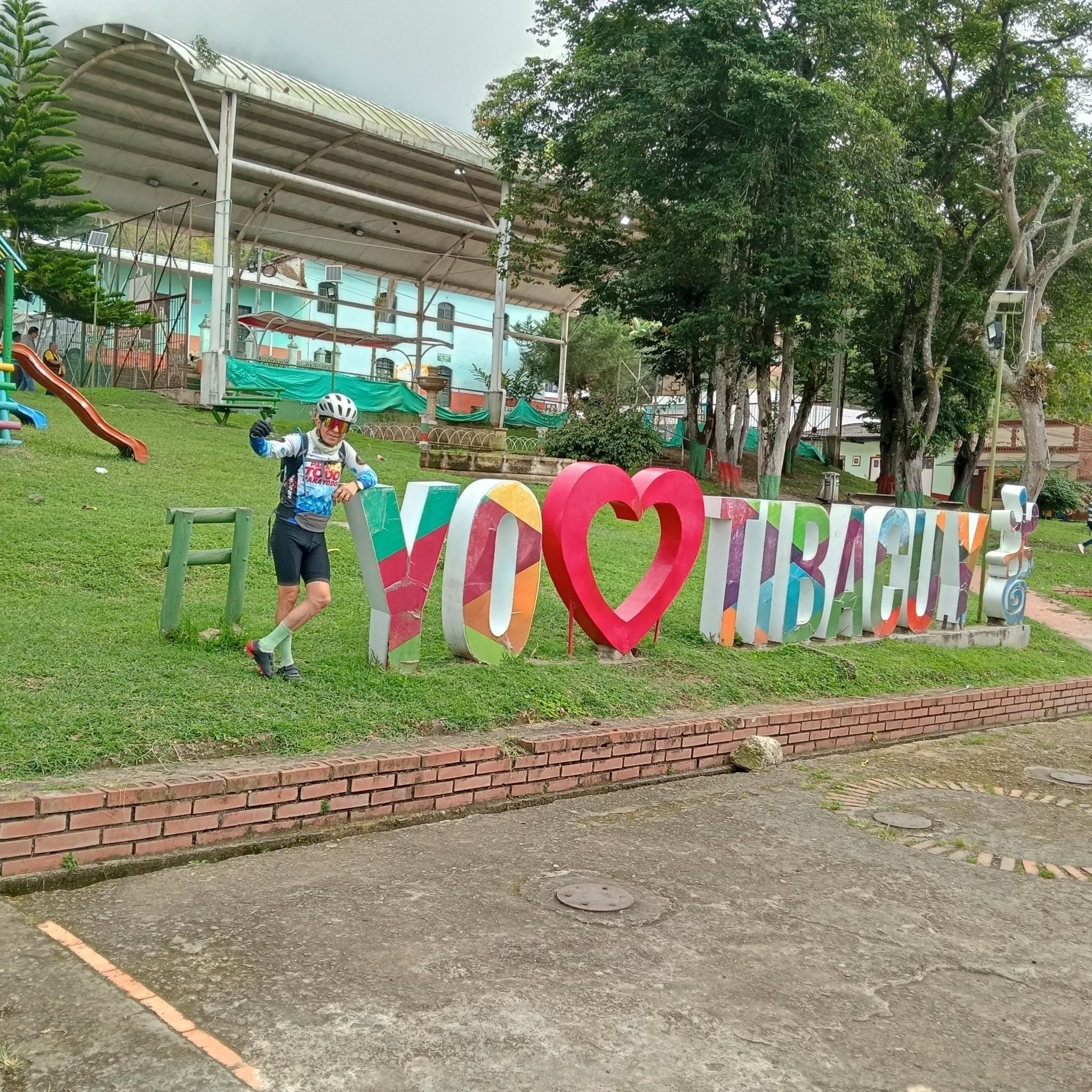
Hiking in Tibacuy offers diverse outdoor experiences within the Cundinamarca region of Colombia. The area is characterized by the Eastern Mountains of the Colombian Andes, with elevations ranging from 480 meters to 2100 meters at Cerro Quininí. This altitudinal variation supports diverse flora and fauna, including native humid forests and rocky sections. Hikers can explore sacred mountains, river valleys, and ancient petroglyph sites.
Best hiking trails in Tibacuy
- The most popular hiking route is View of El Indio loop from…
Last updated: July 2, 2026
5.0
(1)
10
hikers
8.91km
03:28
460m
460m
Moderate hike. Good fitness required. Mostly accessible paths. Sure-footedness required.
5.0
(1)
4
hikers
17.8km
05:09
460m
460m
Hard hike. Very good fitness required. Easily-accessible paths. Suitable for all skill levels.

Sign up for free
5.0
(2)
3
hikers
Hard hike. Very good fitness required. Easily-accessible paths. Suitable for all skill levels.
5
hikers
3.16km
01:04
100m
100m
Moderate hike. Great for any fitness level. Mostly accessible paths. Sure-footedness required.
2
hikers
Moderate hike. Good fitness required. Easily-accessible paths. Suitable for all skill levels.
Our route recommendations are based on thousands of hikes, rides, and runs completed by other people on komoot.
Start today with a free account
Your next adventure awaits.
Login or Signup

Frequently Asked Questions
How many hiking trails are available in Tibacuy?
Tibacuy offers a selection of 6 hiking trails, ranging from moderate to difficult, providing diverse outdoor experiences within the Cundinamarca region.
Are there any circular hiking routes in Tibacuy?
Yes, many of the trails in Tibacuy are designed as loops, allowing you to start and end at the same point. For example, the View of El Indio loop from Estación El Ocobo is a popular moderate option, while the Ricaurte Sidewalk loop from Fusagasugá offers a more challenging circular experience.
What kind of landscapes and natural features can I expect to see while hiking in Tibacuy?
Hiking in Tibacuy offers diverse landscapes, from native humid forests and rocky sections to panoramic views of the Magdalena River valley and the Sumapaz River canyon. The region is dominated by the sacred Cerro Quininí, known for its significant rock formations like Pico del Águila and Cabeza del Indio, as well as ancient petroglyphs and tranquil oak forests.
Are there any challenging hikes in Tibacuy for experienced hikers?
Yes, Tibacuy features several challenging routes. The Ricaurte Sidewalk loop from Fusagasugá is a difficult 11.0-mile (17.8 km) path, and the Juice and Arepa – Camino Real Crossing, Alaska loop from Universidad de Cundinamarca, at 11.6 miles (18.7 km), also presents a demanding experience through varied terrain.
What are some notable landmarks or attractions along the hiking trails in Tibacuy?
Along the trails, particularly on Cerro Quininí, you can discover ancient petroglyphs like the 'Piedra del Gritadero' and 'Piedra del Parto,' which hold historical significance. You'll also encounter impressive rock formations such as Pico del Águila and Cabeza del Indio, offering breathtaking views. While not directly on hiking trails, the area also features the Lucho Herrera Monument and the Mono Gourmet & Cyclist Sculpture, celebrating the region's cycling culture.
What is the best time of year to go hiking in Tibacuy?
Tibacuy's diverse ecosystems mean that hiking is generally enjoyable year-round. However, for the most comfortable conditions, consider visiting during the drier seasons to avoid heavy rains, which can make some trails muddy. Always check the local weather forecast before heading out.
Are there any easy or moderate hikes suitable for beginners or families in Tibacuy?
Yes, Tibacuy offers moderate trails suitable for those looking for a less strenuous experience. The View of El Indio loop from Estación El Ocobo is a moderate 6.0-mile (9.7 km) trail, and the Cara del Indio loop from Reserva Natural de la Sociedad Civil Nakaima is a shorter, moderate option at 2.0 miles (3.2 km), perfect for a quicker outing.
What do other hikers enjoy most about hiking in Tibacuy?
The hiking routes in Tibacuy are highly rated by the komoot community, with an average score of 4.9 stars from 8 reviews. Hikers often praise the stunning panoramic views, the rich historical and cultural significance of sites like Cerro Quininí, and the diverse natural beauty, including native humid forests and unique rock formations.
Is public transport available to reach the trailheads in Tibacuy?
While specific public transport routes directly to every trailhead can vary, Tibacuy is accessible from Bogotá, and local transport options within the municipality can help you get closer to your starting point. It's advisable to research local bus schedules or consider taxi services for reaching more remote trailheads.
Are there opportunities for bird watching or other nature activities while hiking?
Absolutely. Tibacuy's varied 'thermal floors,' with elevations ranging from 480 to 2100 meters, support remarkable biodiversity. This makes the natural reserves and forests excellent spots for bird watching and observing diverse flora and fauna, enhancing the natural beauty experienced during hikes.
Can I find waterfalls or other water features along the hiking trails?
Yes, the Tibacuy region is known for its natural reserves and features, including waterfalls. While specific named waterfalls might require a slight detour from main hiking paths, the presence of diverse ecosystems and river valleys suggests opportunities to encounter beautiful water features during your explorations.
What makes Cerro Quininí a significant hiking destination?
Cerro Quininí, also known as 'Montaña Mágica de la Luna El Quinini,' is a sacred mountain historically important to the Panche indigenous people. It offers not only challenging trails through native humid forests and rocky sections but also spectacular views of the Magdalena and Sumapaz River valleys, along with ancient petroglyphs and unique rock formations like Pico del Águila and Cabeza del Indio.
Most popular routes in Tibacuy
Most popular attractions in Tibacuy

Get inspired with the komoot mobile app


Explore more
Browse the best Hikes in other regions.
