The best road cycling routes in Tenjo
4.6
(264)
7,493
riders
41
rides
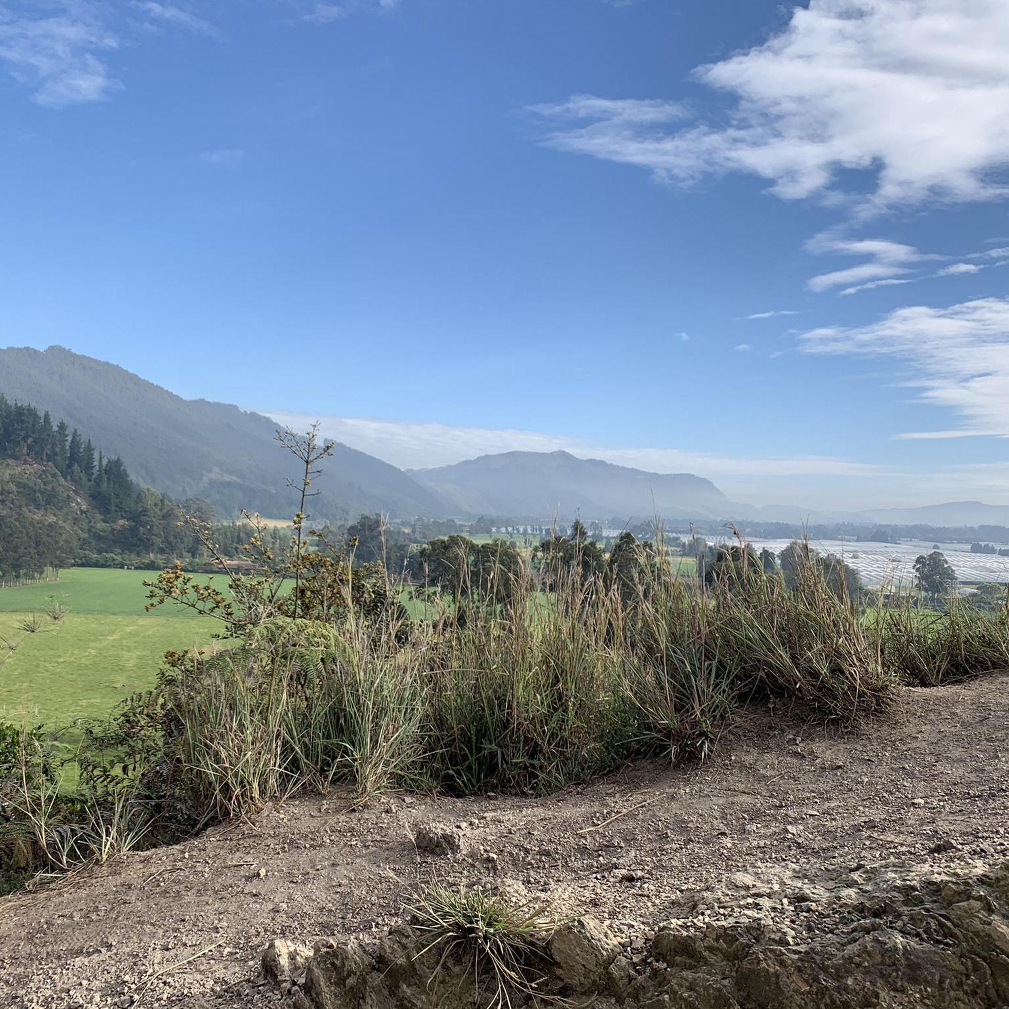
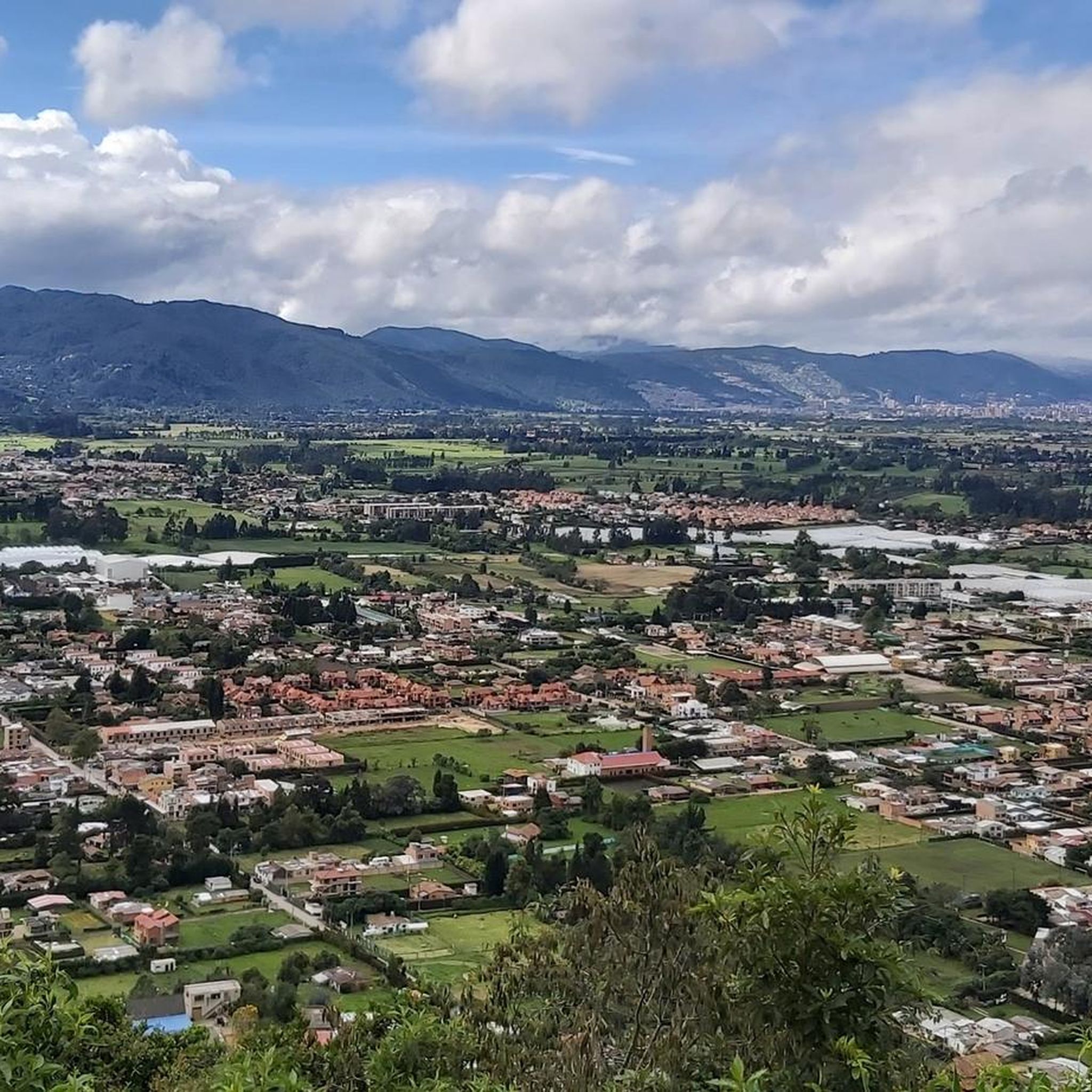
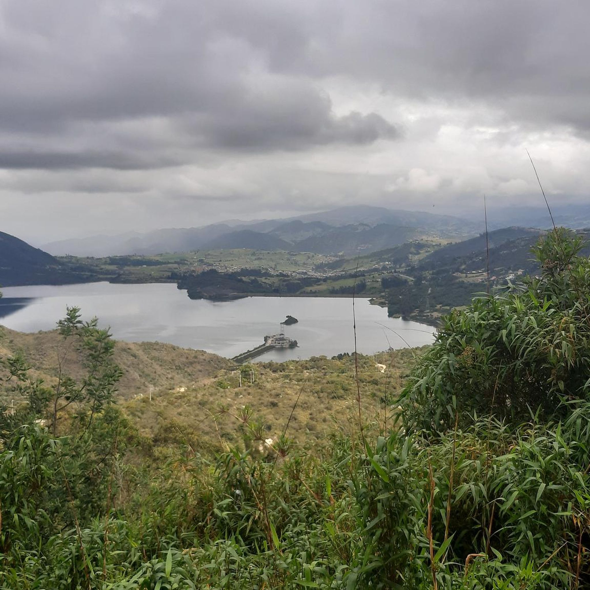
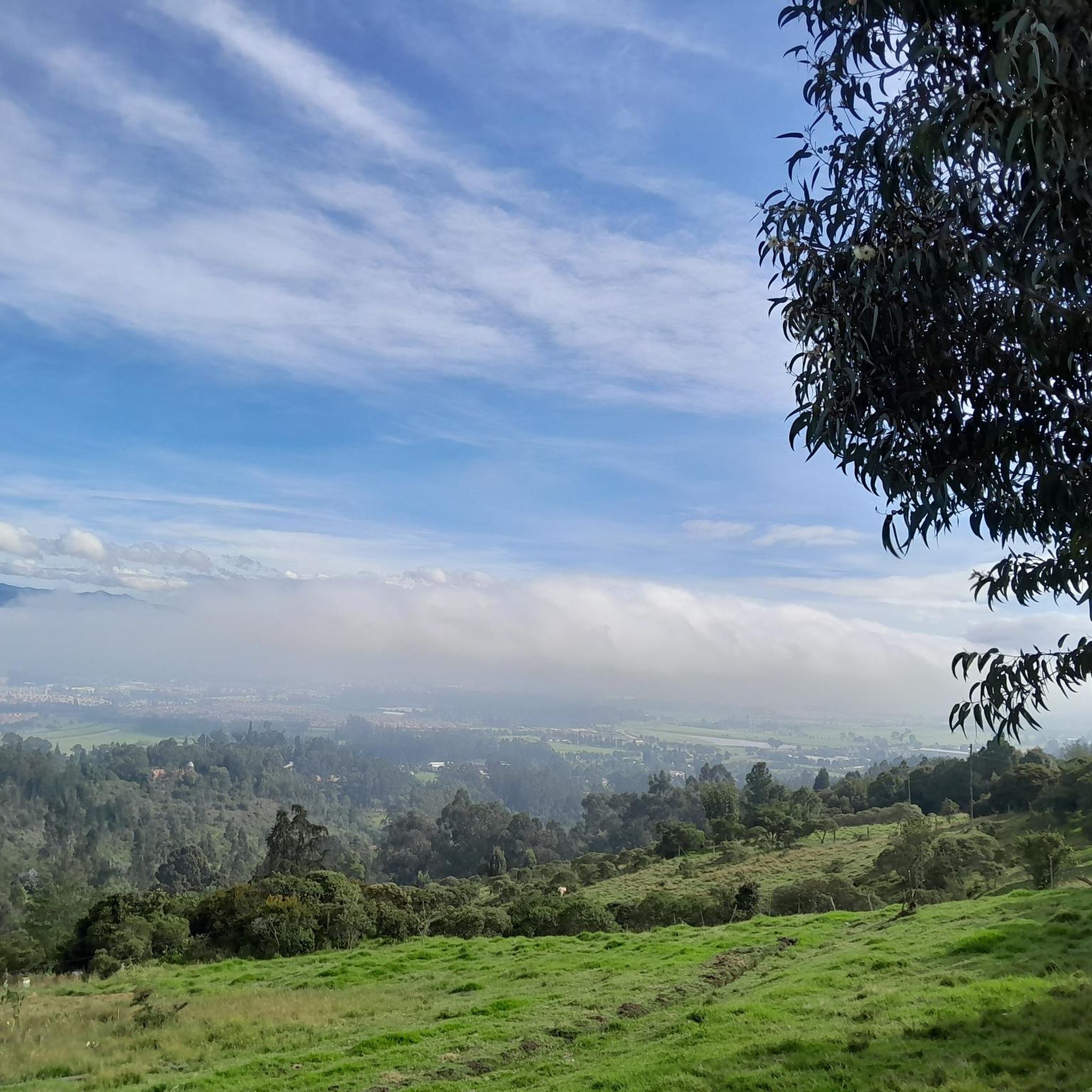
Road cycling in Tenjo offers diverse terrain within the Andean highlands, characterized by mountains, valleys, and significant elevation changes. Situated in the Sabana de Bogotá, the region provides a blend of natural beauty and varied topography. Cyclists encounter routes with considerable ascents and descents, providing physically rewarding experiences. The landscape features majestic Andean ranges, offering panoramic views of the surrounding valleys and green hills.
Best road cycling routes in Tenjo
- The most popular road cycling route is Alto Canicas Viewpoint – Alto de Canicas loop from Logística Sauzalito, a 50.6 miles (81.4 km) trail that takes 5 hours 46 minutes to complete. This challenging route features significant elevation gain through the Andean landscape.
- Another top favourite among local road cyclists is Siberia–Cota Road – Siberia Parking Lot loop from Cota, a moderate 35.2 miles (56.6 km) path. This loop offers varied terrain and takes approximately 2 hours 17 minutes to complete.
- Local road cyclists also love the Alto Canicas Viewpoint – Alto de Canicas loop from Tenjo, a 18.4 miles (29.5 km) trail leading through Andean highlands, often completed in about 1 hour 28 minutes.
- Road cycling in Tenjo is defined by Andean highlands, varied terrain, and expansive valley views. The network offers options for easy, moderate, and difficult routes, catering to different ability levels.
- The routes in Tenjo are highly rated by the komoot community with an average score of 4.5 stars from more than 280 reviews. More than 8,000 road cyclists have used komoot to explore Tenjo's varied terrain.
Last updated: June 26, 2026
4.8
(142)
1,045
riders
66.2km
03:17
710m
710m
Moderate road ride. Good fitness required. Mostly well-paved surfaces and easy to ride.
5.0
(4)
164
riders
37.5km
01:34
120m
120m
Easy road ride. Great for any fitness level. Mostly well-paved surfaces and easy to ride.

Sign up for free
5.0
(1)
40
riders
29.5km
01:28
420m
420m
Moderate road ride. Good fitness required. Mostly well-paved surfaces and easy to ride.
5.0
(2)
35
riders
56.6km
02:17
210m
210m
Moderate road ride. Good fitness required. Mostly well-paved surfaces and easy to ride.
30
riders
95.7km
04:09
700m
700m
Moderate road ride. Good fitness required. Mostly well-paved surfaces and easy to ride.
Get access to more routes and recommendations from other explorers.
Sign up for free
Already have an account?
Our route recommendations are based on thousands of hikes, rides, and runs completed by other people on komoot.
Start today with a free account
Your next adventure awaits.
Login or Signup
Tips from the Community

A safe place to train!!!
0
0

Perfect for starting out or training, the plan to get there develops your resistance
0
0


It is a route to relax... little slope, flat, constant... here you can go out to Villeta and La Vega, municipalities of Cundinamarca... the weather can vary.
0
0


BEAUTIFUL LANDSCAPES AND GOOD TRAINING
1
1

Good outing, although it is very cold almost always. Go with a good coat
0
0
Frequently Asked Questions
How many road cycling routes are available in Tenjo?
Tenjo offers a wide selection of road cycling routes, with over 40 distinct tours available. These routes cater to various skill levels, including easy, moderate, and difficult options.
What kind of terrain can I expect on road cycling routes in Tenjo?
Road cycling in Tenjo features diverse terrain within the Andean highlands, characterized by mountains, valleys, and significant elevation changes. You'll encounter routes with considerable ascents and descents, providing physically rewarding experiences amidst panoramic views of the surrounding valleys and green hills.
What is the best time of year for road cycling in Tenjo?
Tenjo benefits from a mild climate year-round, making it suitable for road cycling throughout the year. The consistent weather in the Andean highlands supports continuous outdoor activity, though it's always wise to check local forecasts before heading out.
Are there routes suitable for beginners or less experienced cyclists?
Yes, Tenjo offers several routes suitable for beginners. For example, the Arepas de Origen Yajá – Briceño loop from Chía is an easy 23.4-mile (37.7 km) path with minimal elevation gain, perfect for those looking for a more relaxed ride.
Are there challenging routes for experienced road cyclists?
Absolutely. Experienced road cyclists will find plenty of challenging routes in Tenjo. The region is known for its significant climbs and demanding terrain. A notable difficult route is the Alto Canicas Viewpoint – Alto de Canicas loop from Logística Sauzalito, which spans 50.6 miles (81.4 km) and features substantial elevation gain through the Andean landscape.
Can I find circular road cycling routes in Tenjo?
Yes, many of Tenjo's road cycling routes are designed as loops, allowing you to start and finish in the same location. Examples include the popular Siberia–Cota Road – Siberia Parking Lot loop from Cota and the Alto Canicas Viewpoint – Alto de Canicas loop from Tenjo.
What natural features or viewpoints can I see along the road cycling routes?
As you cycle through Tenjo, you'll be rewarded with panoramic views of the surrounding valleys, green hills, and the expansive Bogotá savanna. Notable climbs like Alto de Canicas offer stunning vistas, and the region is nestled amidst majestic Andean ranges like the Serranía de Juaica and Serranía del Majui.
Are there any specific landmarks or points of interest to explore while cycling in Tenjo?
Beyond the natural beauty, Tenjo offers a glimpse into its pre-Columbian roots and colonial heritage. While cycling, you might encounter historic churches, colonial architecture, and traditional farming landscapes. For specific cycling-related points of interest, the Puente Piedra–Subachoque Road is a notable cycleway.
Is parking available near the road cycling routes in Tenjo?
While specific parking facilities vary by route start point, Tenjo generally offers accessible parking options in and around the town center and at various trailheads. Many routes, like the Siberia–Cota Road loop, often have designated parking areas at their starting points.
Are there cafes or places to stop for refreshments along the road cycling routes?
Yes, you can find places to refuel along or near many routes. The region's cultural context means you'll often encounter small towns or villages with local eateries. For a dedicated cycling stop, consider visiting 3 Puertos Gravel Bike Bistro, which is a popular spot for cyclists.
What do other road cyclists enjoy most about cycling in Tenjo?
The road cycling routes in Tenjo are highly rated by the komoot community, with an average score of 4.5 stars from over 280 reviews. Cyclists frequently praise the diverse terrain, the challenging ascents, and the breathtaking panoramic views of the Andean highlands and valleys.
Most popular attractions in Tenjo

Get inspired with the komoot mobile app


Explore more
Browse the best Road cycling routes in other regions.
